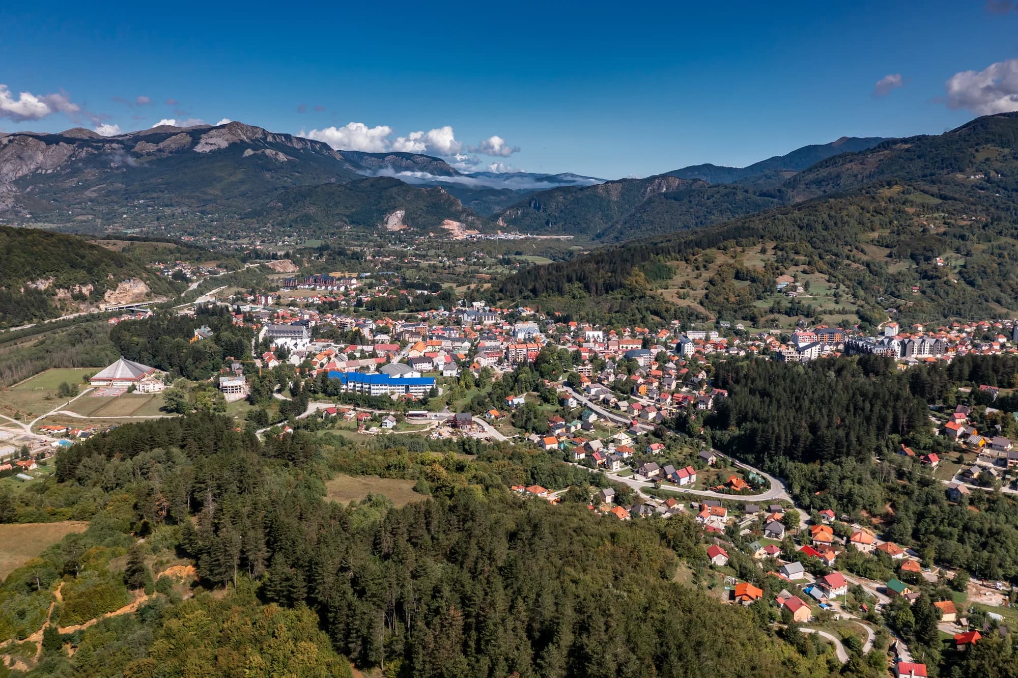
Thirty-four people in the Bistrica valley east of Bijelo Polje, at the road-head for the longest cave in Montenegro and a gorge the state has spent more than a decade trying to open.
Bistrica je mali grad u blizini Bijelog Polja na sjeveru Crne Gore. Smješteno u valovitim brdima oblasti rijeke Lim, ono je mirno poljoprivredno naselje okruženo livadama i mješovitim šumama. Ovaj kraj odražava nežurni ritam života karakterističan za ruralni sjever Crne Gore.
Bistrica u brojkama
the surveyed length of Đalovića pećina — the longest cave in Montenegro, and nearly twice the second
the depth the Đalovića gorge reaches where the Bistrica cuts the limestone
the altitude at which the Goševska and Grebska rivers meet and become the Bistrica
the date on the stone plaque at Podvrh, six kilometres up the new road
the Đalovića klisura Natural Monument — the cave itself falls outside it
2023 census, Bistrica settlement; 38,662 in the municipality
MONSTAT, Popis 2023, settlement table · ASAK cave register · Agency for the Protection of Natural Assets, via Vijesti (2026) · Manastir Podvrh, Eparchy of Budimlja–Nikšić
Najbliža mjesta mjestu Bistrica, na svojim stvarnim položajima — Biogradsko Jezero je udaljeno oko 28 km vazdušnom linijom.
Šematski prikaz. Položaji i udaljenosti mjereni su vazdušnom linijom, prema koordinatama koje imamo za svako mjesto; zbog planinskih puteva vožnja je duža. Podebljana linija označava obalu na dijelu koji prolazi kroz ovaj prikaz. Obala i Skadarsko jezero © OpenStreetMap contributors.
Najbolje vrijeme: jun · jul · septembar
| Mjesto | Putem | Vožnja |
|---|---|---|
| Bijelo Polje | 11,9 km | oko 26 min |
| Berane | 32,6 km | oko 1 h 1 min |
| Mojkovac | 34,7 km | oko 1 h 5 min |
| Murino | 37,6 km | oko 1 h 11 min |
| Podgorica | 118,6 km | oko 2 h 31 min |
| Budva | 177,5 km | oko 3 h 47 min |
| Kotor | 189,4 km | oko 3 h 58 min |
Udaljenosti putem izračunate na osnovu OpenStreetMap podataka, © OpenStreetMap contributors. Vremena vožnje su bez gužve i ne računaju ljetnji saobraćaj ni čekanje na trajektnoj rampi.
Nekoliko sati
Bistrica is a road-head rather than a village to walk around. The reason to come is what the road reaches.
Cio dan
Bijelo Polje
Najbolje za the only real supply of rooms within reach, and the station on the Belgrade–Bar line — twelve kilometres west by road
Bistrica and Mojstir
Najbolje za the road-head hamlets: 34 and 41 people at the 2023 census, so ask locally rather than expect to book
Đalovići
Najbolje za the other way in — the road ends at the village, and Akovo’s cave-trekking parties walk an hour up the riverbed to the cave mouth, summer and autumn only
The longest caves in Montenegro
Surveyed length in metres
Four of the five caves behind it are on Lovćen or around Cetinje. The one at the top is in the north, and it is nearly twice the length of the runner-up.
The villages of the gorge
Residents by settlement, 2023 census
The five settlements the management plan names as the gorge’s neighbours hold 155 people between them. Mokri Lug, which has the monastery, has eighteen.
Bistrica has no dated founding. What is dated here is the church up the road, the Ottoman sanjak the village sat in until 1912, and the cave. Widths are to scale.
Pretražite hiljade hotela i apartmana sa aktuelnim cijenama.
Možemo zaraditi proviziju putem partnerskih linkova. To nam pomaže da zadržimo Montenegro.com besplatnim za putnike.
Pretražite hotele, apartmane i pansione sa trenutnom dostupnošću.
Možemo zaraditi proviziju putem partnerskih linkova. To nam pomaže da zadržimo Montenegro.com besplatnim za putnike.
Bihor 1455 and the First Balkan War (Wikipedia); the sanjaks of Novi Pazar and Sjenica to 1912; Manastir Podvrh; Vijesti on the municipal natural-assets Agency.
Bistrica je grad na sjeveru Crne Gore, u opštini Bijelo Polje, ondje gdje rijeka Bistrica silazi iz brda i uliva se u Lim. Samo Bijelo Polje je kratka vožnja dalje.
Dostupnija nego što veličina sugeriše. Grad je na glavnom koridoru između Bijelog Polja i granice sa Srbijom, a pruga Beograd–Bar prolazi ovdje dolinom, pa se može stići i bez auta.
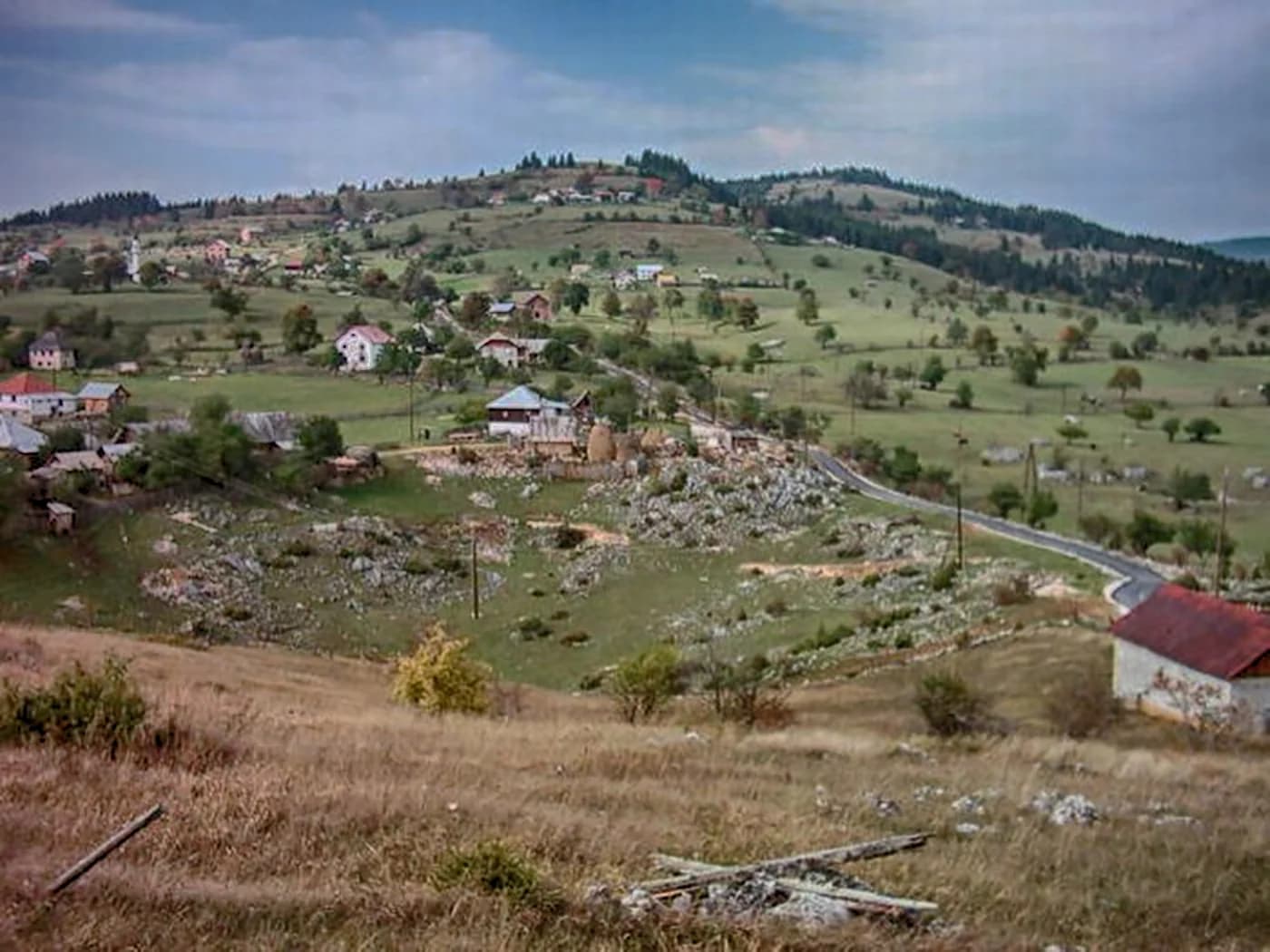
Poljoprivredno naselje razbacanih kuća, sjenokosa i mješovite šume po valovitom terenu, a ne zbijeno oko centra. Livade se i dalje kose usred ljeta, mala domaćinstva drže po koju kravu i ovcu, a šljivici i jabučnjaci prate padine iznad rijeke.
Nema ih u uobičajenom smislu, i ništa ovdje nije uređeno za posjetioce. Draž su predio i ritam: bez žurbe, poljoprivredni i darežljivi, kako sjeverna crnogorski gradovi obično jesu prema svakome ko se zaustavi.
U rijeci ima pastrmke, a šumski putevi se penju u brda s obje strane doline. Bjelasica i nacionalni park Biogradska gora su na jugozapadu, Đalovića klisura s pećinskim sistemom na jugu, a iza toga kanjon Tare i raftinške dionice.
Putnicima s autom koji obilaze sjever, onima koji traže seoski smještaj i domaću kuhinju umjesto hotela, i svakome ko prelazi između Crne Gore i Srbije, a radije bi predahnuo negdje mirno. Sezona je od kasnog proljeća do jeseni.
Ne — najbliži je aerodrom Podgorica (TGD), 128 km putem.
11,9 km putem, oko 26 min vožnje.
Britansko Ministarstvo inostranih poslova (FCDO) nema upozorenje protiv putovanja u Crnu Goru; svoje smjernice je posljednji put revidiralo 13. avgusta 2026. To je njihova procjena države u cjelini, ne naša i ne ocjena o ovom gradu, pa je pročitajte sami prije puta. Broj za hitne slučajeve u Crnoj Gori je 112.
The Agency ran its first promotional tour as Podvrh – gorge – Bistrica, downhill all the way. Walk it the other way and it is a climb.
Ko posjećuje Crnu Goru
Udio noćenja stranih gostiju, 2025.
MONSTAT · 2025
A decade of state announcements about one cave, and what came of each.
Vijesti Five million euros for the reconstruction of the Gubavač–Bistrica road and a new bridge over the Bistrica.
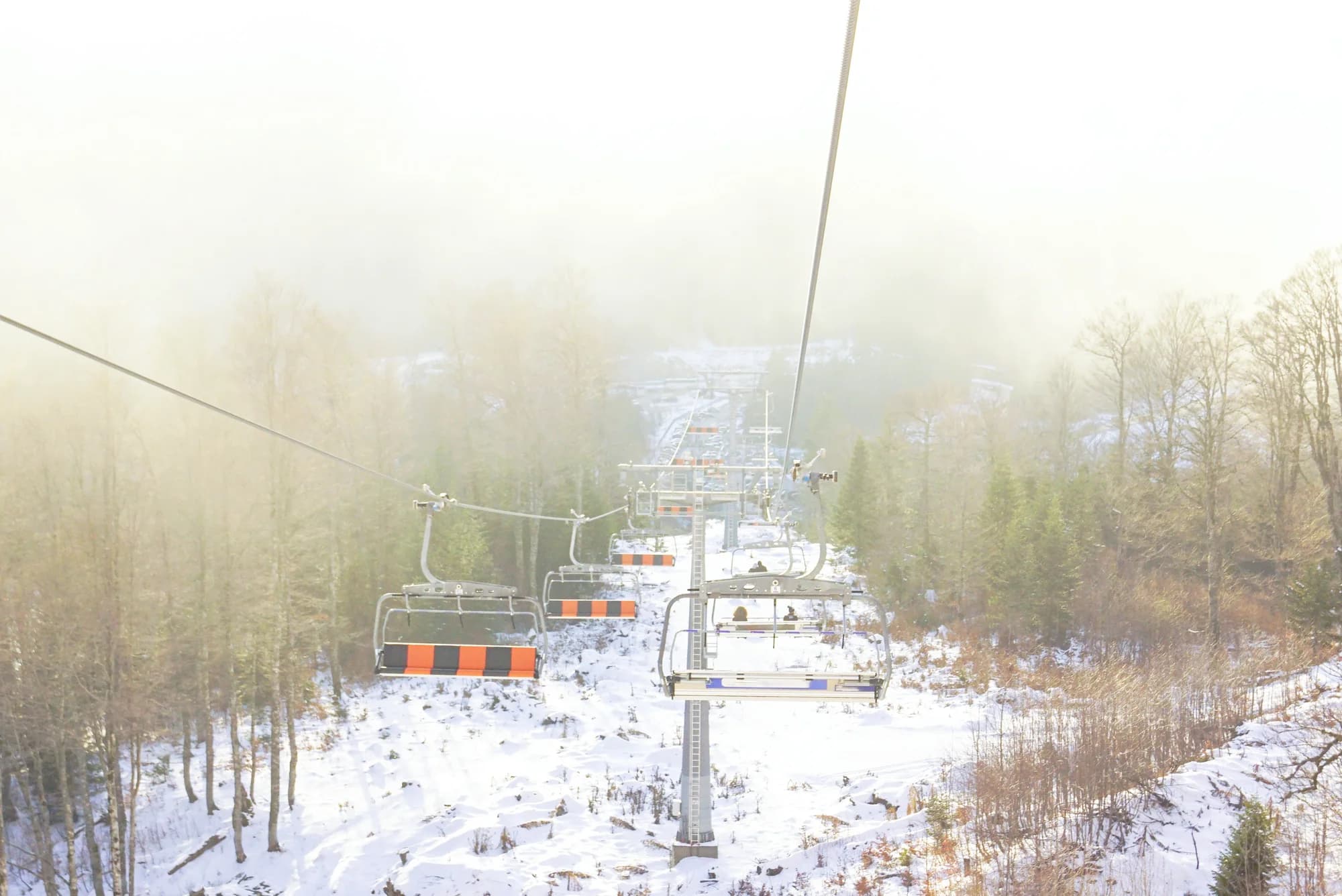
Vijesti The Secretariat for Investments says the visitor centre is finished and the water main is going in; cable-car works will resume in April and the first riders could go up by the end of August.
Radio Free Europe About €19 million of a planned €25 million is already spent. The works stopped in 2021, after an entrance was cut into the cave without permission and large numbers of bats died; nobody has been identified as responsible.
Vijesti The first layer of asphalt goes down on the Gubavač–Bistrica road after months of campaigning by a local party, whose chairman calls it asphalt for first aid rather than a finished road.
Vijesti At the hearing on the 2026–2030 management plan it is spelled out that the cave lies outside the Natural Monument it is always named with, and that the protected stretch of the Bistrica runs about three kilometres.
Radio televizija Nikšić Work resumes on the 1.7-kilometre cable car from Podvrh monastery to the cave mouth — two eight-seat gondolas, a six-minute ride — promised in service by the end of summer.
Vijesti A party of Bijelo Polje journalists becomes the first to walk the Agency’s new trail: Podvrh monastery, the gorge, Bistrica.
Vijesti The minister of public works says the whole project is blocked because the owners of three walnut trees will not let the power line cross their land.
The cable car was not carrying passengers when this page was written.
U međuvremenu — 1987
Đalovića klisura, 1987: the speleological section of the Belgrade mountaineering association, at work in the area since 1979, first explores the Cave above the Devil’s Whirlpools.
The register — 10,550 metres of surveyed passage and 120 metres of vertical range. The next longest cave in the country, Njegoš pećina on Lovćen, is 5,300 metres; nothing else in Montenegro is close.
Czech cavers — between 2006 and 2009 they worked the system again, including a dive through a sump 80 metres long and 20 metres deep. Published lengths have run from 11 to 17.5 kilometres ever since; the surveyed figure has not moved.
Bistrica, still — the visitor centre is built and the road up to Podvrh is good. In August 2026 the minister of public works said the cable car was held up by three walnut trees.
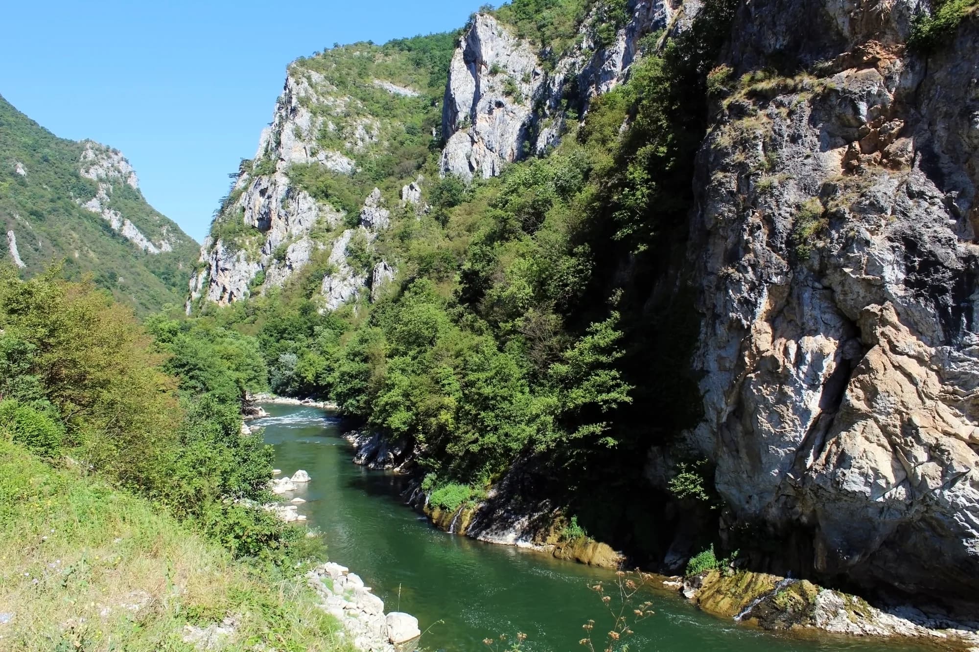
“The gorge is cut into the limestone massif and reaches a depth of 627 metres, which makes it one of the most dramatic landscapes in the region. … Glava Bistrice and the Juriška springs stand out in particular, as does the permanent flow of the Bistrica, which joins the Lim downstream.”
Željko Madžgalj, director of the Agency for the Protection of Natural Assets
At the public hearing on the 2026–2030 management plan for the Đalovića klisura Natural Monument, reported by Vijesti on 26 May 2026.
“Journalists tend to write spectacular estimates instead of dull surveyed length, so numbers include 11 to 17 km of length, while the surveyed length is actually 10,550 m.”
showcaves.com, on Đalovića pećina
The ASAK register agrees on the survey: 10,550 metres of passage and 120 metres of vertical range, mapped by Belgrade speleologists from 1987. Radio Free Europe still called the cave “a little over 17 and a half kilometres” in January 2025.