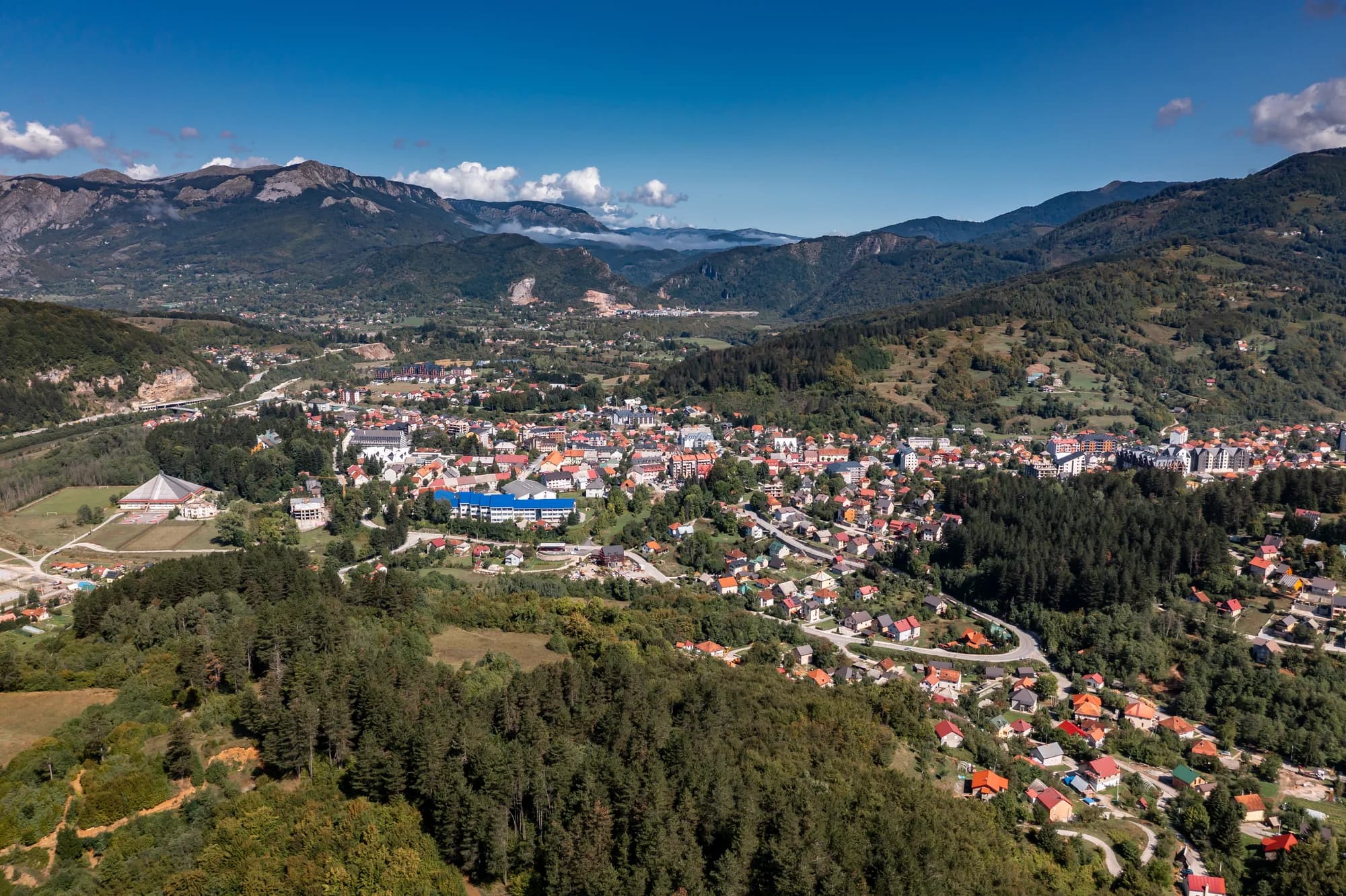
Thirty-four people in the Bistrica valley east of Bijelo Polje, at the road-head for the longest cave in Montenegro and a gorge the state has spent more than a decade trying to open.
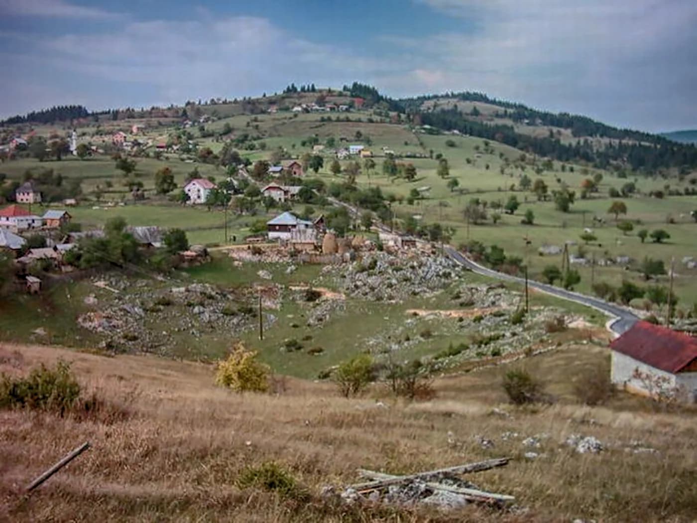
Bistrica er en liten landsby nær Bijelo Polje i Nord-Montenegro. Liggende blant rullete åser i Lim River-regionen, er det et fredelig landbrukssamfunn omgitt av enger og blandede skoger. Området gjenspeiler det rolige livstempoet som er karakteristisk for Montenegros rurale nord.
Bistrica i tall
the surveyed length of Đalovića pećina — the longest cave in Montenegro, and nearly twice the second
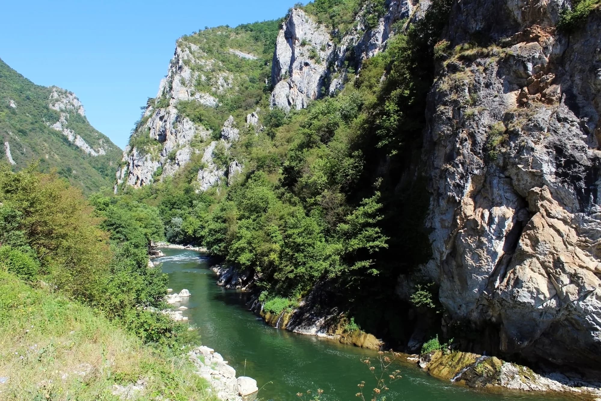
the depth the Đalovića gorge reaches where the Bistrica cuts the limestone
the altitude at which the Goševska and Grebska rivers meet and become the Bistrica
the date on the stone plaque at Podvrh, six kilometres up the new road
the Đalovića klisura Natural Monument — the cave itself falls outside it
2023 census, Bistrica settlement; 38,662 in the municipality
MONSTAT, Popis 2023, settlement table · ASAK cave register · Agency for the Protection of Natural Assets, via Vijesti (2026) · Manastir Podvrh, Eparchy of Budimlja–Nikšić
De nærmeste stedene rundt Bistrica, plassert der de faktisk ligger – Biogradsko Jezero ligger omtrent 28 km unna i luftlinje.
Skjematisk. Plasseringer og avstander er i luftlinje, basert på koordinatene vi har for hvert sted; fjellveier gjør kjøreturen lengre. Den tykke linjen er kysten der den går gjennom dette utsnittet. Kystlinje og Skadarsjøen © OpenStreetMap contributors.
Beste reisetid: juni · juli · september
| Sted | Langs vei | Kjøretid |
|---|---|---|
| Bijelo Polje | 11,9 km | ca. 26 min |
| Berane | 32,6 km | ca. 1 t 1 min |
| Mojkovac | 34,7 km | ca. 1 t 5 min |
| Murino | 37,6 km | ca. 1 t 11 min |
| Podgorica | 118,6 km | ca. 2 t 31 min |
| Budva | 177,5 km | ca. 3 t 47 min |
| Kotor | 189,4 km | ca. 3 t 58 min |
Veiavstander beregnet på OpenStreetMap-data, © OpenStreetMap contributors. Kjøretidene er uten kø og tar ikke hensyn til sommertrafikk eller venting på fergeleiet.
Noen timer
Bistrica is a road-head rather than a village to walk around. The reason to come is what the road reaches.
En hel dag
Bijelo Polje
Best for the only real supply of rooms within reach, and the station on the Belgrade–Bar line — twelve kilometres west by road
Bistrica and Mojstir
Best for the road-head hamlets: 34 and 41 people at the 2023 census, so ask locally rather than expect to book
Đalovići
Best for the other way in — the road ends at the village, and Akovo’s cave-trekking parties walk an hour up the riverbed to the cave mouth, summer and autumn only
The longest caves in Montenegro
Surveyed length in metres
Four of the five caves behind it are on Lovćen or around Cetinje. The one at the top is in the north, and it is nearly twice the length of the runner-up.
The villages of the gorge
Residents by settlement, 2023 census
The five settlements the management plan names as the gorge’s neighbours hold 155 people between them. Mokri Lug, which has the monastery, has eighteen.
Bistrica has no dated founding. What is dated here is the church up the road, the Ottoman sanjak the village sat in until 1912, and the cave. Widths are to scale.
Søk blant tusenvis av hoteller og leiligheter med oppdaterte priser.
Vi kan tjene provisjon fra partnerlenker. Dette hjelper oss med å holde Montenegro.com gratis for reisende.
Søk blant hoteller, leiligheter og gjestehus med oppdatert tilgjengelighet.
Vi kan tjene provisjon fra partnerlenker. Dette hjelper oss med å holde Montenegro.com gratis for reisende.
Bihor 1455 and the First Balkan War (Wikipedia); the sanjaks of Novi Pazar and Sjenica to 1912; Manastir Podvrh; Vijesti on the municipal natural-assets Agency.
Bistrica er en bygd nord i Montenegro, i Bijelo Polje kommune, der elva Bistrica kommer ned fra åsene og møter Lim. Bijelo Polje selv er en kort kjøretur unna.
Lettere enn størrelsen tilsier. Bygda ligger ved hovedkorridoren mellom Bijelo Polje og den serbiske grensen, og jernbanen Beograd–Bar går her gjennom dalen, så man kan komme uten bil.
En jordbruksbygd med spredte hus, slåtteenger og blandingsskog utover kupert lende framfor samlet om et sentrum. Engene slås fortsatt midtsommers, småbruk holder et par kyr og sauer, og plomme- og epletrær kanter liene over elva.
Ingen i vanlig forstand, og ingenting her er lagt til rette for besøkende. Tiltrekningen er landskapet og tempoet: uten hastverk, jordbrukspreget og gjestfritt slik nordmontenegrinske bygder gjerne er mot den som stopper.
Elva har ørret, og skogsveier klatrer opp i åsene på begge sider av dalen. Bjelasica og nasjonalparken Biogradska Gora ligger i sørvest, Đalović-juvet og grottesystemet i sør, og bortenfor Tara-canyonen med raftingstrekningene.
Reisende med bil som tar seg gjennom nord, folk som vil ha bygdeovernatting og hjemmelaget mat framfor hotell, og alle som krysser mellom Montenegro og Serbia og heller vil dele opp turen et rolig sted. Sesongen går fra sen vår til høst.
Nei — den nærmeste er Podgorica lufthavn (TGD), 128 km unna langs vei.
11,9 km langs vei, omtrent 26 min med bil.
Det britiske utenriksdepartementet (FCDO) fraråder ikke reiser til Montenegro; rådene ble sist gjennomgått 13. august 2026. Det er deres vurdering av landet som helhet, ikke vår og ingen dom over Bistrica — les den selv før du reiser. Nødnummeret i Montenegro er 112.
The Agency ran its first promotional tour as Podvrh – gorge – Bistrica, downhill all the way. Walk it the other way and it is a climb.
Hvem besøker Montenegro
Andel av utenlandske gjesters overnattinger, 2025
MONSTAT · 2025
A decade of state announcements about one cave, and what came of each.
Vijesti Five million euros for the reconstruction of the Gubavač–Bistrica road and a new bridge over the Bistrica.
Vijesti The Secretariat for Investments says the visitor centre is finished and the water main is going in; cable-car works will resume in April and the first riders could go up by the end of August.
Radio Free Europe About €19 million of a planned €25 million is already spent. The works stopped in 2021, after an entrance was cut into the cave without permission and large numbers of bats died; nobody has been identified as responsible.
Vijesti The first layer of asphalt goes down on the Gubavač–Bistrica road after months of campaigning by a local party, whose chairman calls it asphalt for first aid rather than a finished road.
Vijesti At the hearing on the 2026–2030 management plan it is spelled out that the cave lies outside the Natural Monument it is always named with, and that the protected stretch of the Bistrica runs about three kilometres.
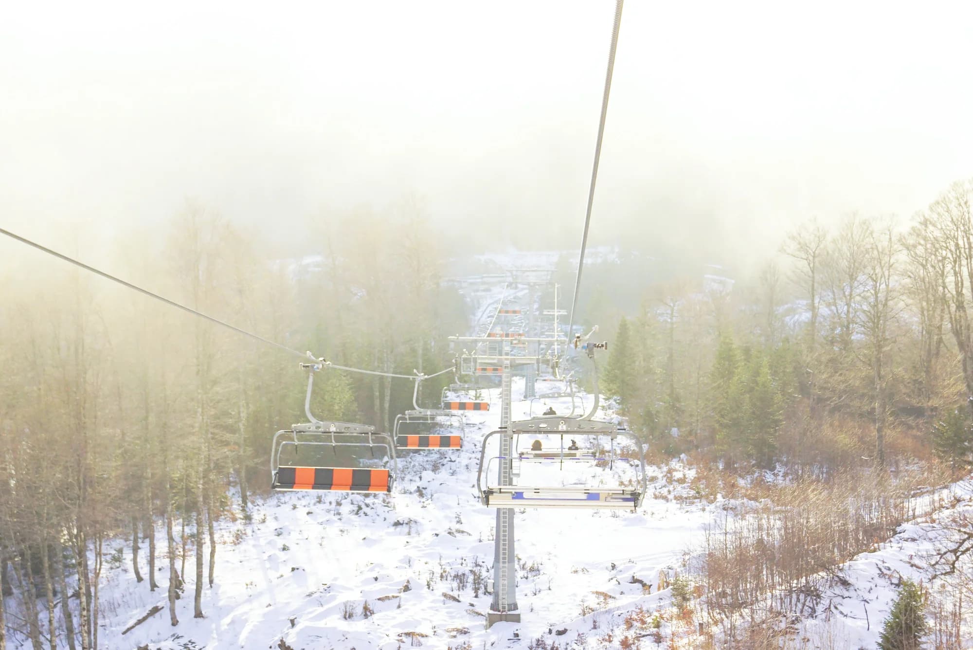
Radio televizija Nikšić Work resumes on the 1.7-kilometre cable car from Podvrh monastery to the cave mouth — two eight-seat gondolas, a six-minute ride — promised in service by the end of summer.
Vijesti A party of Bijelo Polje journalists becomes the first to walk the Agency’s new trail: Podvrh monastery, the gorge, Bistrica.
Vijesti The minister of public works says the whole project is blocked because the owners of three walnut trees will not let the power line cross their land.
The cable car was not carrying passengers when this page was written.
I mellomtiden, i 1987
Đalovića klisura, 1987: the speleological section of the Belgrade mountaineering association, at work in the area since 1979, first explores the Cave above the Devil’s Whirlpools.
The register — 10,550 metres of surveyed passage and 120 metres of vertical range. The next longest cave in the country, Njegoš pećina on Lovćen, is 5,300 metres; nothing else in Montenegro is close.
Czech cavers — between 2006 and 2009 they worked the system again, including a dive through a sump 80 metres long and 20 metres deep. Published lengths have run from 11 to 17.5 kilometres ever since; the surveyed figure has not moved.
Bistrica, still — the visitor centre is built and the road up to Podvrh is good. In August 2026 the minister of public works said the cable car was held up by three walnut trees.
“The gorge is cut into the limestone massif and reaches a depth of 627 metres, which makes it one of the most dramatic landscapes in the region. … Glava Bistrice and the Juriška springs stand out in particular, as does the permanent flow of the Bistrica, which joins the Lim downstream.”
Željko Madžgalj, director of the Agency for the Protection of Natural Assets
At the public hearing on the 2026–2030 management plan for the Đalovića klisura Natural Monument, reported by Vijesti on 26 May 2026.
“Journalists tend to write spectacular estimates instead of dull surveyed length, so numbers include 11 to 17 km of length, while the surveyed length is actually 10,550 m.”
showcaves.com, on Đalovića pećina
The ASAK register agrees on the survey: 10,550 metres of passage and 120 metres of vertical range, mapped by Belgrade speleologists from 1987. Radio Free Europe still called the cave “a little over 17 and a half kilometres” in January 2025.