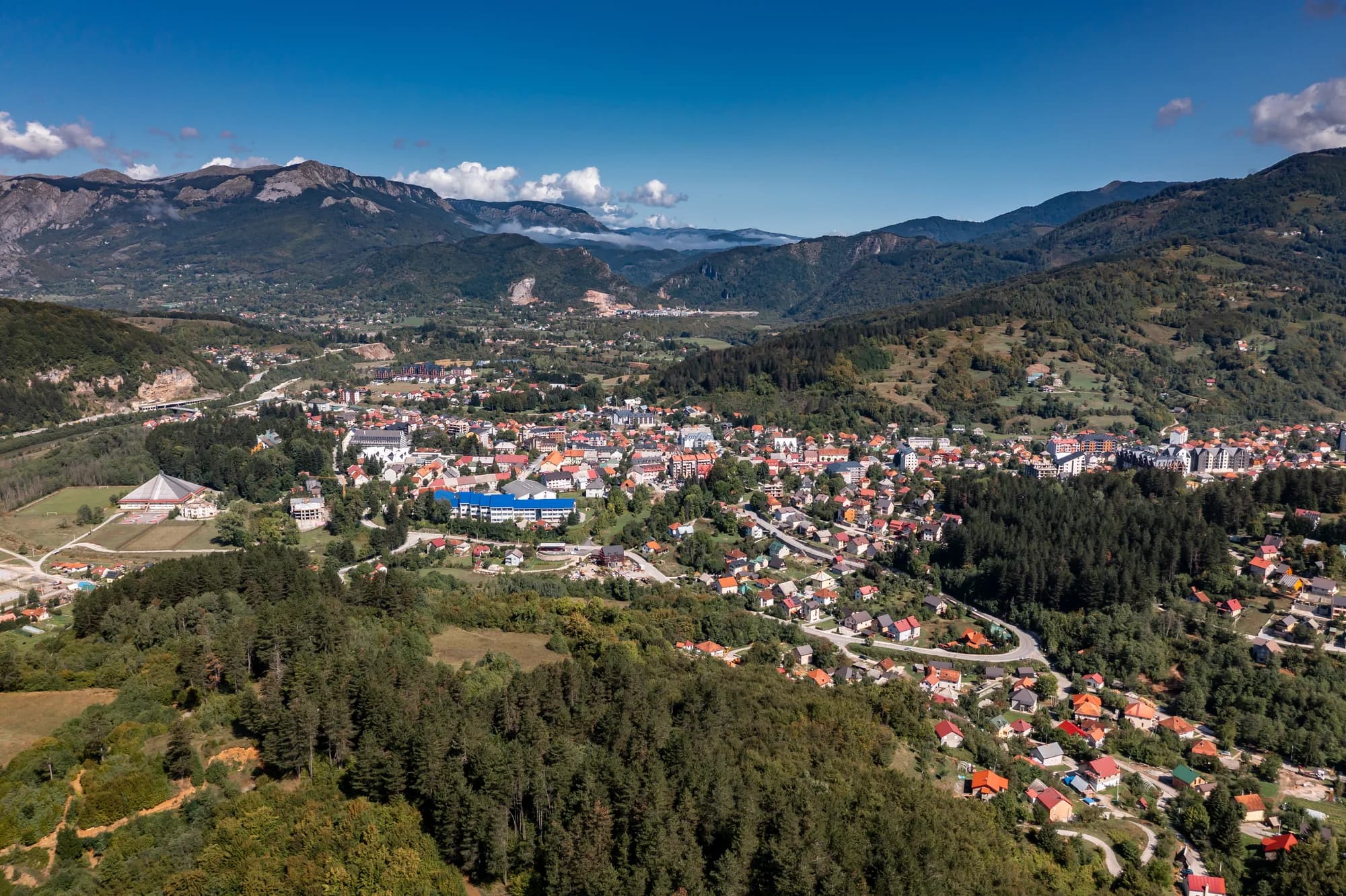
Thirty-four people in the Bistrica valley east of Bijelo Polje, at the road-head for the longest cave in Montenegro and a gorge the state has spent more than a decade trying to open.
Bistrica är en liten by nära Bijelo Polje i norra Montenegro. Den ligger i kuperade kullar i Lim River-området och är en lugn jordbruksbygd omgiven av ängar och blandad skog. Området återspeglar den långsamma takten i livet som är karakteristisk för Montenegros landsbygd i norr.
Bistrica i siffror
the surveyed length of Đalovića pećina — the longest cave in Montenegro, and nearly twice the second
the depth the Đalovića gorge reaches where the Bistrica cuts the limestone
the altitude at which the Goševska and Grebska rivers meet and become the Bistrica
the date on the stone plaque at Podvrh, six kilometres up the new road
the Đalovića klisura Natural Monument — the cave itself falls outside it
2023 census, Bistrica settlement; 38,662 in the municipality
MONSTAT, Popis 2023, settlement table · ASAK cave register · Agency for the Protection of Natural Assets, via Vijesti (2026) · Manastir Podvrh, Eparchy of Budimlja–Nikšić
De närmaste orterna kring Bistrica, på sina verkliga platser – Biogradsko Jezero ligger ungefär 28 km bort fågelvägen.
Schematisk. Positioner och avstånd är fågelvägen, utifrån de koordinater vi har för varje plats; bergsvägarna gör bilresan längre. Den tjocka linjen är kusten där den passerar genom den här vyn. Kustlinje och Skadarsjön © OpenStreetMap contributors.
Bästa restid: juni · juli · september
| Plats | Längs väg | Körtid |
|---|---|---|
| Bijelo Polje | 11,9 km | ca 26 min |
| Berane | 32,6 km | ca 1 tim 1 min |
| Mojkovac | 34,7 km | ca 1 tim 5 min |
| Murino | 37,6 km | ca 1 tim 11 min |
| Podgorica | 118,6 km | ca 2 tim 31 min |
| Budva | 177,5 km | ca 3 tim 47 min |
| Kotor | 189,4 km | ca 3 tim 58 min |
Vägavstånd beräknade på OpenStreetMap-data, © OpenStreetMap contributors. Restiderna är utan köer och tar ingen hänsyn till sommartrafik eller väntan vid färjeläget.
Några timmar
Bistrica is a road-head rather than a village to walk around. The reason to come is what the road reaches.
En hel dag
Bijelo Polje
Bäst för the only real supply of rooms within reach, and the station on the Belgrade–Bar line — twelve kilometres west by road
Bistrica and Mojstir
Bäst för the road-head hamlets: 34 and 41 people at the 2023 census, so ask locally rather than expect to book
Đalovići
Bäst för the other way in — the road ends at the village, and Akovo’s cave-trekking parties walk an hour up the riverbed to the cave mouth, summer and autumn only
The longest caves in Montenegro
Surveyed length in metres
Four of the five caves behind it are on Lovćen or around Cetinje. The one at the top is in the north, and it is nearly twice the length of the runner-up.
The villages of the gorge
Residents by settlement, 2023 census
The five settlements the management plan names as the gorge’s neighbours hold 155 people between them. Mokri Lug, which has the monastery, has eighteen.
Bistrica has no dated founding. What is dated here is the church up the road, the Ottoman sanjak the village sat in until 1912, and the cave. Widths are to scale.
Sök bland tusentals hotell och lägenheter med aktuella priser.
Vi kan tjäna provision från partnerlänkar. Detta hjälper oss att hålla Montenegro.com gratis för resenärer.
Sök hotell, lägenheter och gästhus med aktuell tillgänglighet.
Vi kan tjäna provision från partnerlänkar. Detta hjälper oss att hålla Montenegro.com gratis för resenärer.
Bihor 1455 and the First Balkan War (Wikipedia); the sanjaks of Novi Pazar and Sjenica to 1912; Manastir Podvrh; Vijesti on the municipal natural-assets Agency.
Bistrica är en by i norra Montenegro, i Bijelo Polje kommun, där floden Bistrica kommer ned från kullarna och möter Lim. Bijelo Polje självt ligger en kort bilresa bort.
Lättare än storleken antyder. Byn ligger vid huvudkorridoren mellan Bijelo Polje och den serbiska gränsen, och järnvägen Belgrad–Bar går här genom dalen, så man kan ta sig dit utan bil.
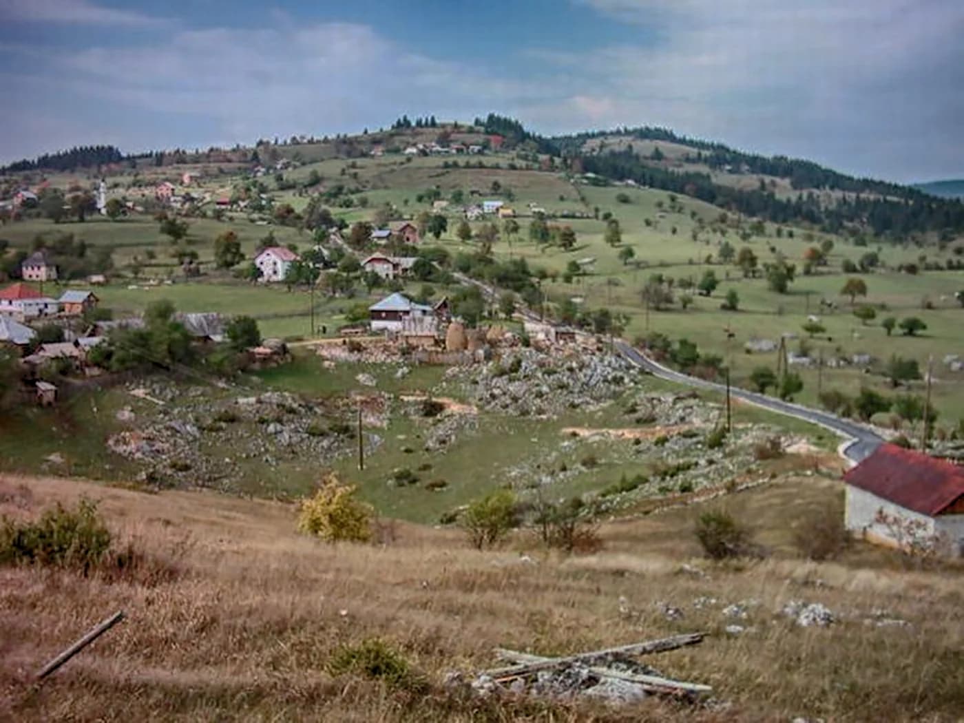
En jordbruksby med spridda hus, slåtterängar och blandskog utbredda över kuperad mark snarare än samlade kring ett centrum. Ängarna slås fortfarande högsommartid, småbruk håller några kor och får, och plommon- och äppelodlingar kantar sluttningarna ovanför floden.
Inga i vanlig mening, och inget här är ordnat för besökare. Lockelsen är landskapet och tempot: obrådskande, jordbrukspräglat och generöst så som norra Montenegros byar brukar vara mot den som stannar.
Floden håller öring och skogsvägar klättrar upp i kullarna på båda sidor av dalen. Bjelasica och nationalparken Biogradska Gora ligger i sydväst, Đalovićravinen och dess grottsystem i söder, och bortom dem Tarakanjonen med sina forssträckor.
Resenärer med bil som arbetar sig genom norr, folk som vill ha byboende och husmanskost snarare än hotell, och alla som korsar mellan Montenegro och Serbien och hellre delar upp resan någonstans lugnt. Säsongen går från sen vår till höst.
Nej — den närmaste är Podgorica flygplats (TGD), 128 km bort via väg.
11,9 km längs väg, ungefär 26 min med bil.
Storbritanniens utrikesdepartement (FCDO) avråder inte från resor till Montenegro; råden sågs senast över 13 augusti 2026. Det är deras bedömning av landet som helhet, inte vår och ingen dom över Bistrica — läs den själv innan du reser. Nödnumret i Montenegro är 112.
The Agency ran its first promotional tour as Podvrh – gorge – Bistrica, downhill all the way. Walk it the other way and it is a climb.
Vilka besöker Montenegro
Andel av utländska gästers övernattningar, 2025
MONSTAT · 2025
A decade of state announcements about one cave, and what came of each.
Vijesti Five million euros for the reconstruction of the Gubavač–Bistrica road and a new bridge over the Bistrica.
Vijesti The Secretariat for Investments says the visitor centre is finished and the water main is going in; cable-car works will resume in April and the first riders could go up by the end of August.
Radio Free Europe About €19 million of a planned €25 million is already spent. The works stopped in 2021, after an entrance was cut into the cave without permission and large numbers of bats died; nobody has been identified as responsible.
Vijesti The first layer of asphalt goes down on the Gubavač–Bistrica road after months of campaigning by a local party, whose chairman calls it asphalt for first aid rather than a finished road.
Vijesti At the hearing on the 2026–2030 management plan it is spelled out that the cave lies outside the Natural Monument it is always named with, and that the protected stretch of the Bistrica runs about three kilometres.
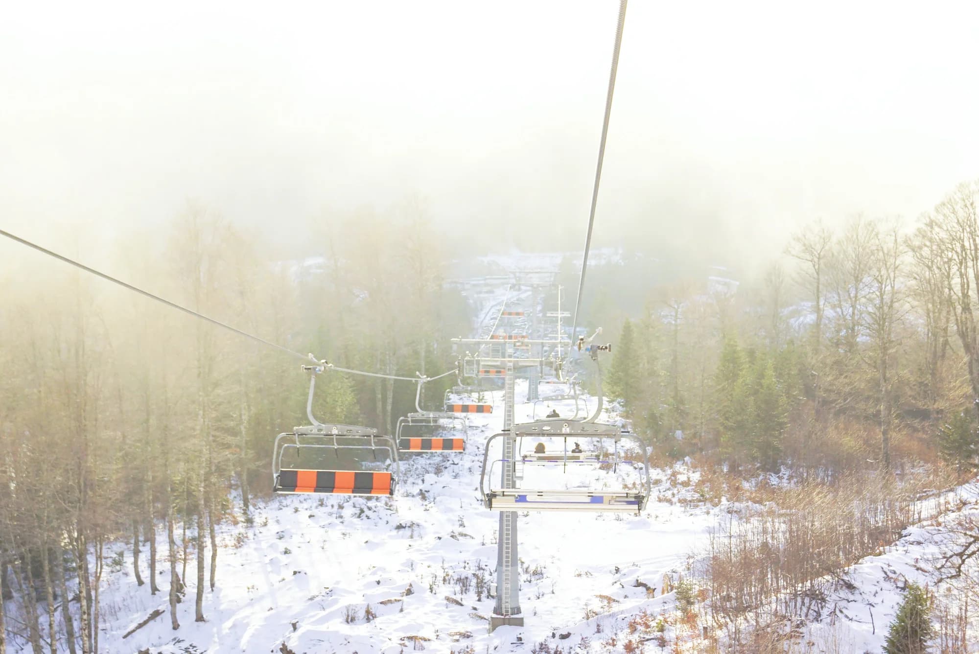
Radio televizija Nikšić Work resumes on the 1.7-kilometre cable car from Podvrh monastery to the cave mouth — two eight-seat gondolas, a six-minute ride — promised in service by the end of summer.
Vijesti A party of Bijelo Polje journalists becomes the first to walk the Agency’s new trail: Podvrh monastery, the gorge, Bistrica.
Vijesti The minister of public works says the whole project is blocked because the owners of three walnut trees will not let the power line cross their land.
The cable car was not carrying passengers when this page was written.
Under tiden, år 1987
Đalovića klisura, 1987: the speleological section of the Belgrade mountaineering association, at work in the area since 1979, first explores the Cave above the Devil’s Whirlpools.
The register — 10,550 metres of surveyed passage and 120 metres of vertical range. The next longest cave in the country, Njegoš pećina on Lovćen, is 5,300 metres; nothing else in Montenegro is close.
Czech cavers — between 2006 and 2009 they worked the system again, including a dive through a sump 80 metres long and 20 metres deep. Published lengths have run from 11 to 17.5 kilometres ever since; the surveyed figure has not moved.
Bistrica, still — the visitor centre is built and the road up to Podvrh is good. In August 2026 the minister of public works said the cable car was held up by three walnut trees.
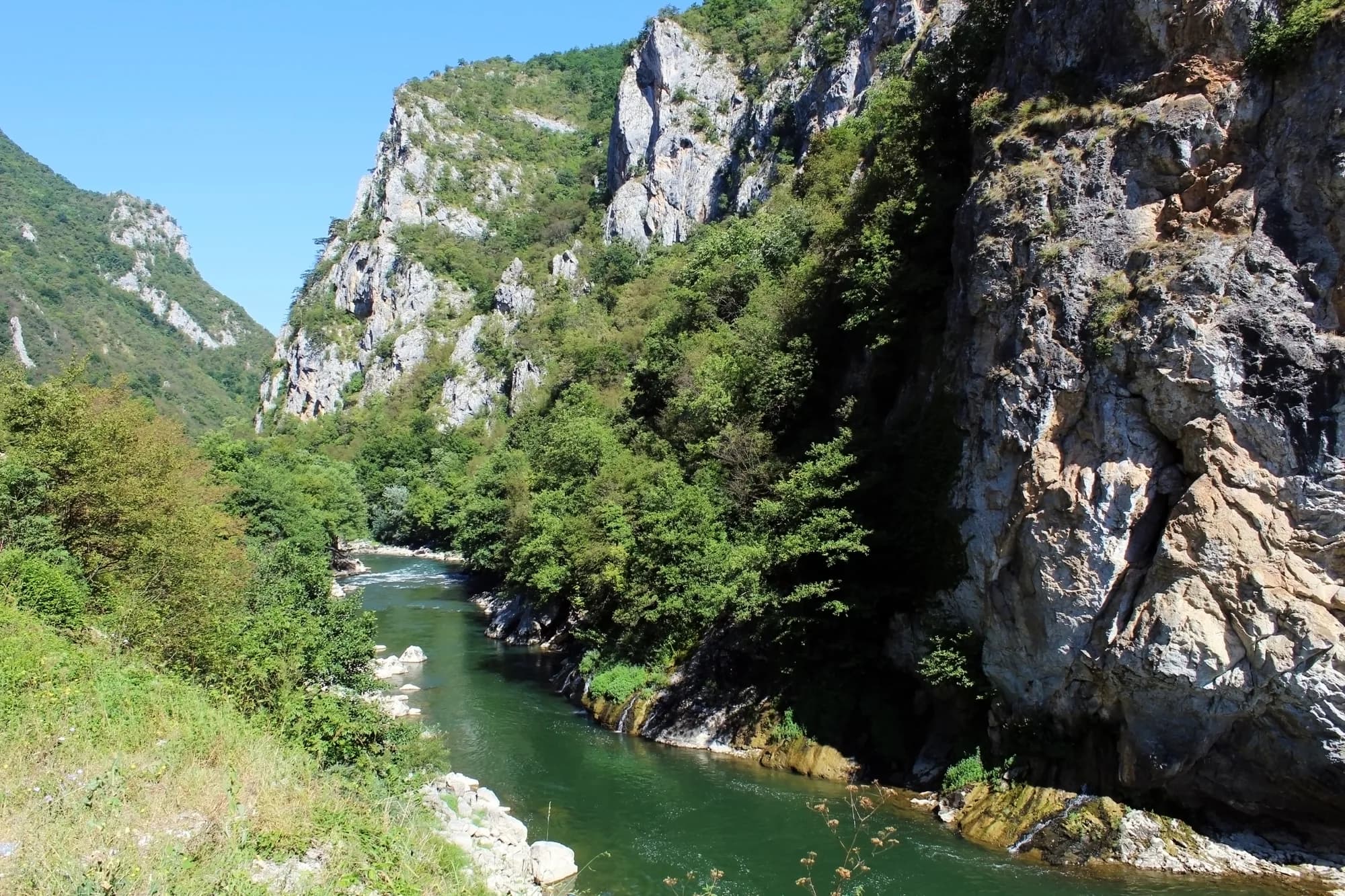
“The gorge is cut into the limestone massif and reaches a depth of 627 metres, which makes it one of the most dramatic landscapes in the region. … Glava Bistrice and the Juriška springs stand out in particular, as does the permanent flow of the Bistrica, which joins the Lim downstream.”
Željko Madžgalj, director of the Agency for the Protection of Natural Assets
At the public hearing on the 2026–2030 management plan for the Đalovića klisura Natural Monument, reported by Vijesti on 26 May 2026.
“Journalists tend to write spectacular estimates instead of dull surveyed length, so numbers include 11 to 17 km of length, while the surveyed length is actually 10,550 m.”
showcaves.com, on Đalovića pećina
The ASAK register agrees on the survey: 10,550 metres of passage and 120 metres of vertical range, mapped by Belgrade speleologists from 1987. Radio Free Europe still called the cave “a little over 17 and a half kilometres” in January 2025.