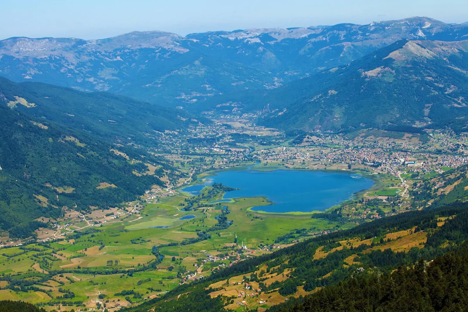
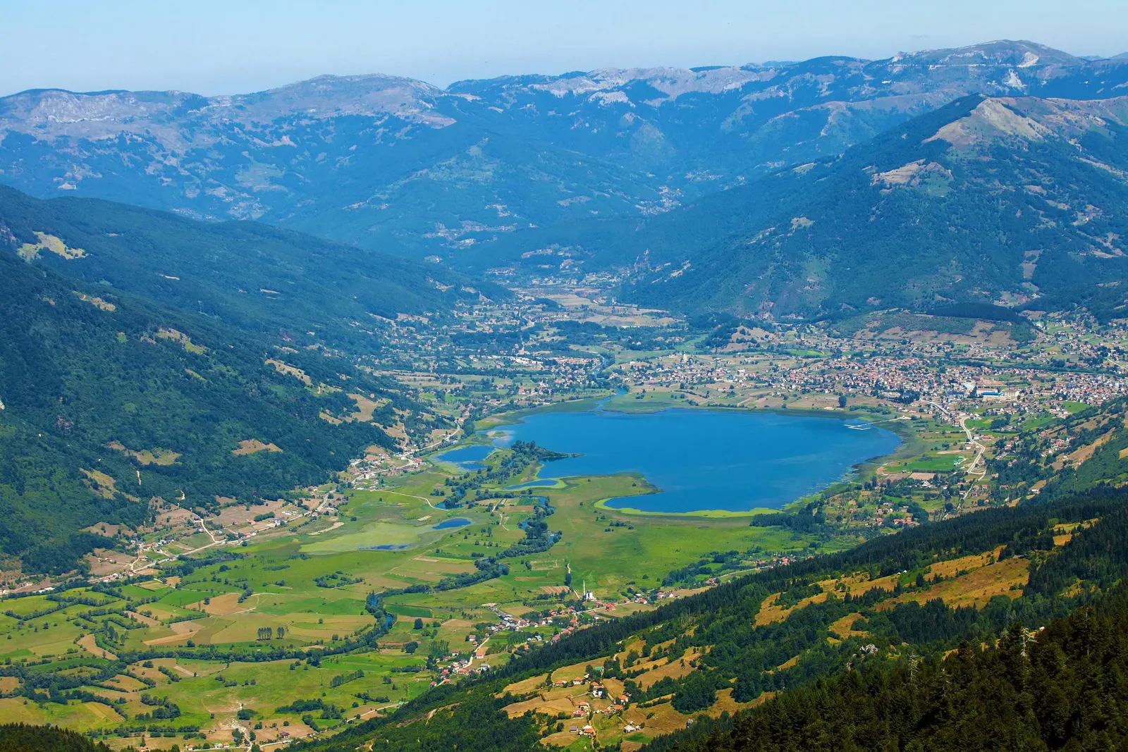
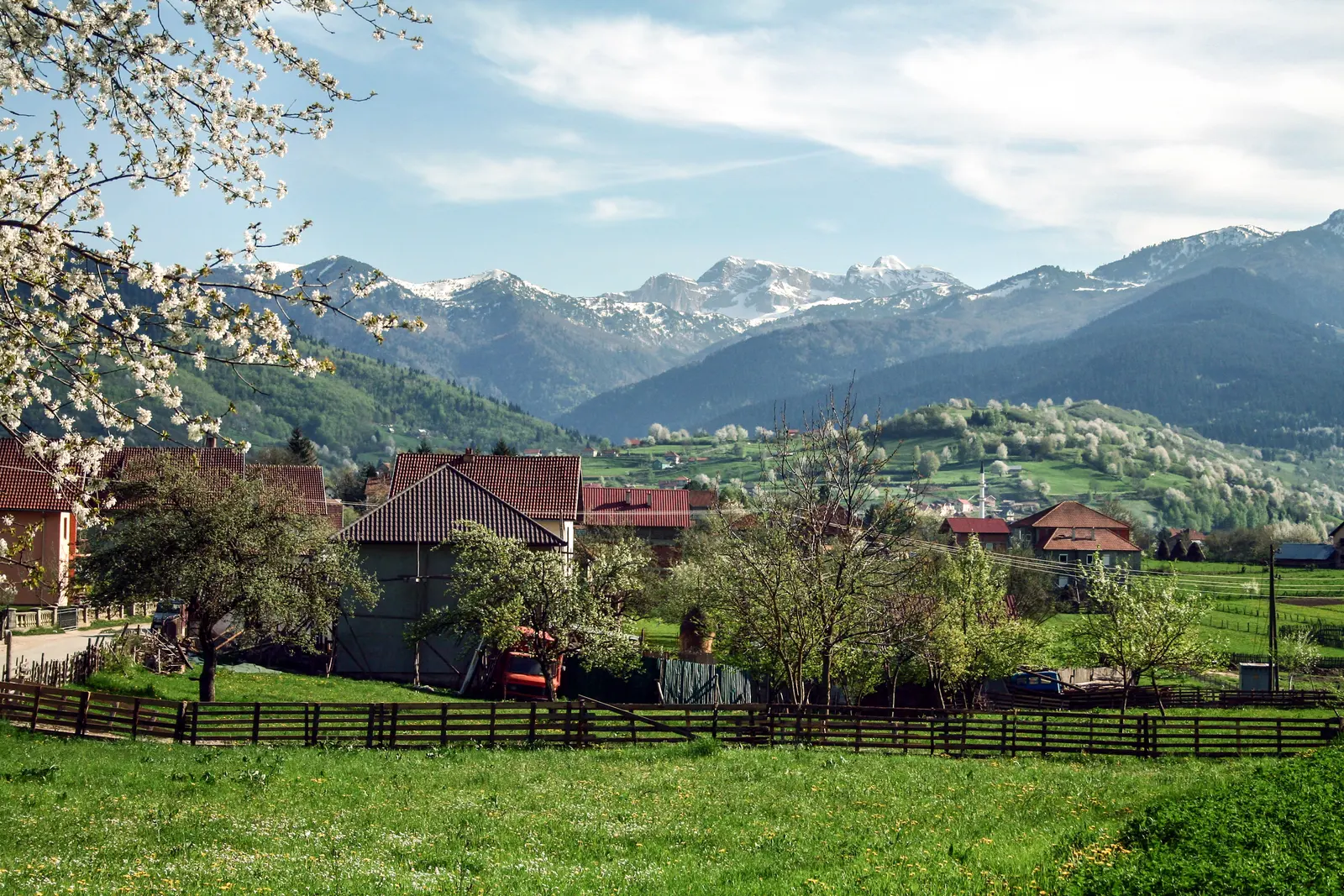
For many years, since we began publishing travelogues and digital pictures of the towns and regions of Montenegro on www.montenegro.com, we have wanted to show visitors what the far east of the country actually looks like. Plav is the place that best makes the case. It sits at around 900 metres in a wide basin in the north-east, with a glacial lake on its doorstep, the Prokletije wall rising behind it and the Albanian border a short drive away. Very few people on a two-week coastal holiday ever get here, which is precisely the argument for going.
The lake and the river that leaves it
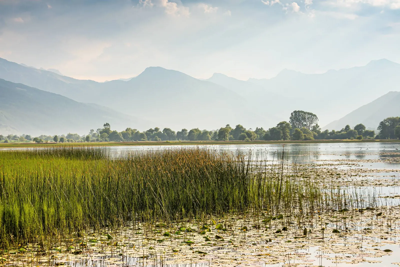
Plavsko jezero is the largest glacial lake in Montenegro: roughly two kilometres long and a little over a kilometre wide, shallow at around nine metres at its deepest, and sitting directly below the town. It was left behind by the glaciers that ground down out of the Prokletije, and it is fed mainly by the Ljuča, which itself rises from the powerful karst springs known as Ali Pasha's Springs on the road towards Gusinje. Those springs are worth a stop in their own right: cold water surfacing out of flat meadow under the mountains.
Water leaves the lake at its northern end as the Lim, which then runs the length of the Montenegrin north-east through Andrijevica, Berane and Bijelo Polje before crossing into Serbia and joining the Drina. Standing at the outflow you are looking at the beginning of one of the major rivers of the western Balkans.
The town, its tower and its people
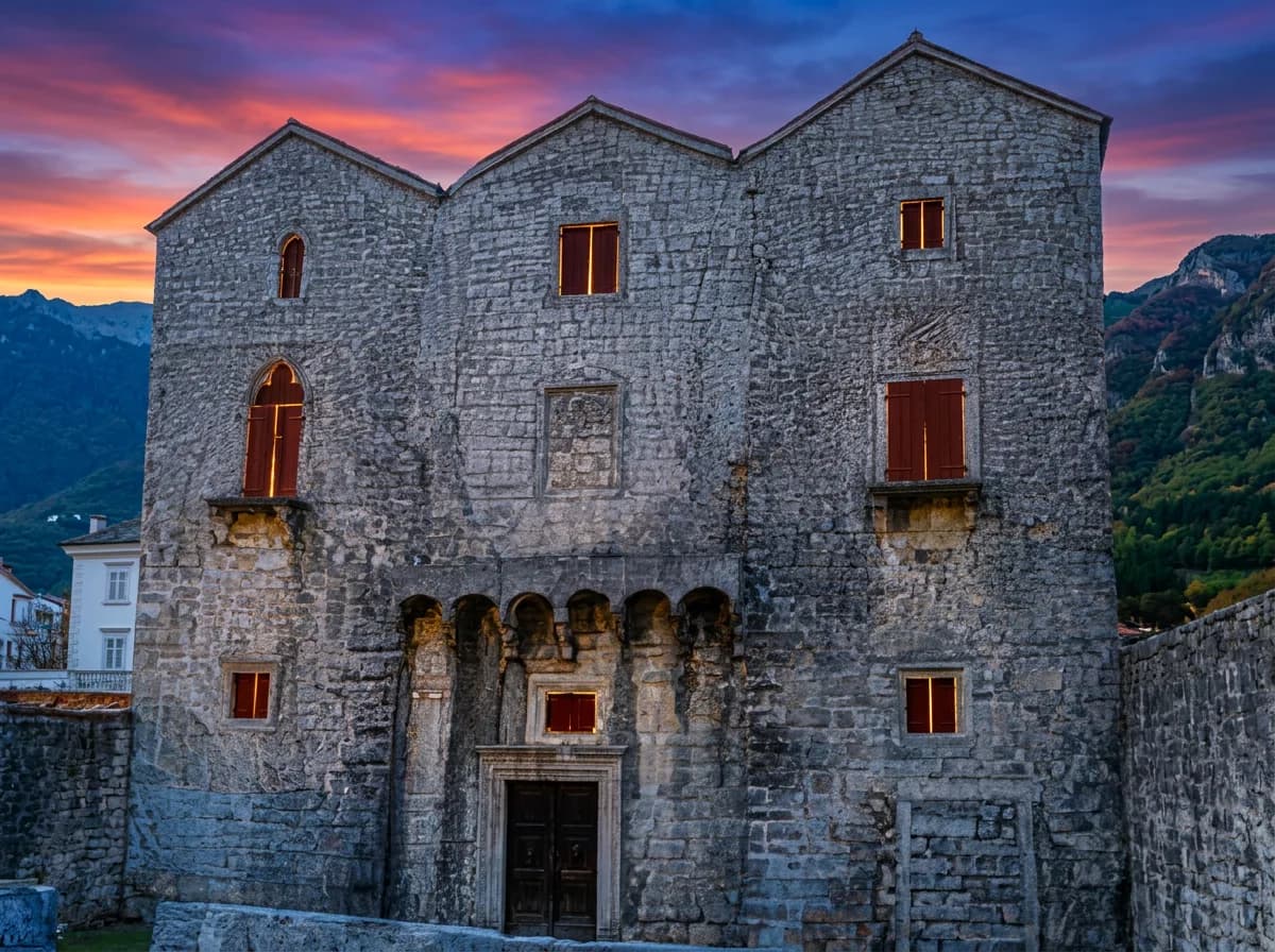
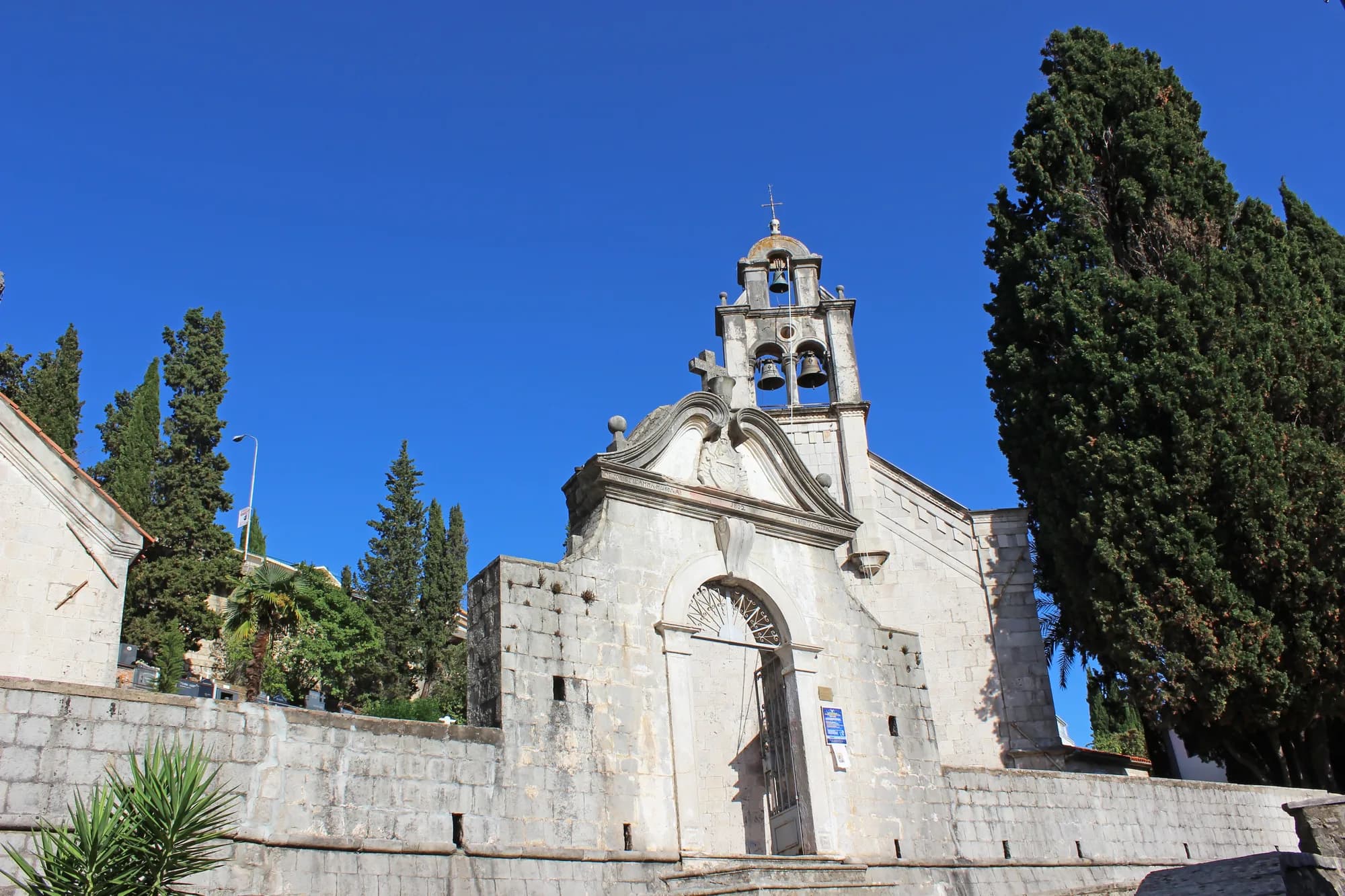
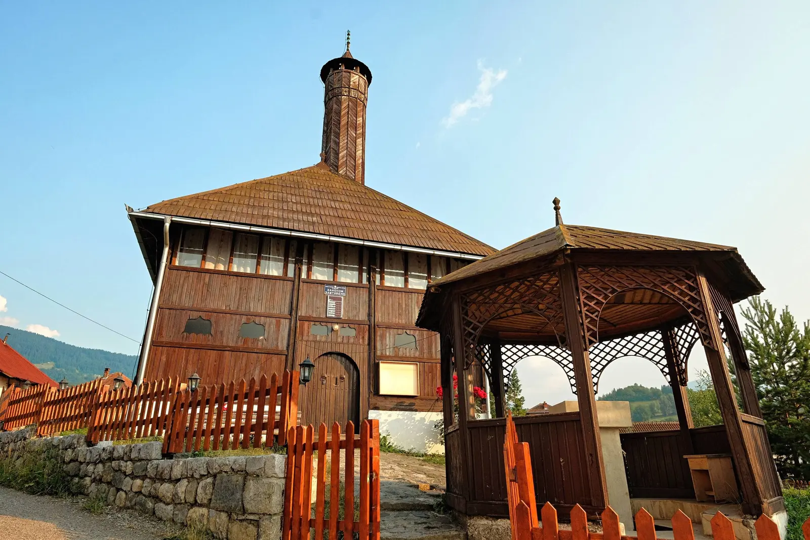
Plav grew up as an Ottoman market and garrison town controlling the pass between the Lim valley and the mountains, and the layout still reflects that. The landmark is the Redžepagić Tower, a fortified stone house of the kind built by regional families for defence as much as for living, with metre-thick walls and a timber upper storey. Older mosques with wooden interiors stand in the centre and in the surrounding villages, and the vernacular architecture of steep shingle roofs is one of the things that distinguishes this corner of the country from the karst south.
The population is mixed, with Bosniak, Albanian, Montenegrin and Serb communities in the town and the villages around the lake, and the region has one of the largest emigrant communities in Montenegro. A great many families have relatives in the United States, and summer here is noticeably busier because of it, with returning diaspora filling the cafes in July and August. The food follows the mountains rather than the sea: lamb, trout from the lake and the rivers, cicvara and kačamak, pies, and honey from the high meadows.
Into the Prokletije
Plav is the practical gateway to Prokletije National Park, declared in 2009 and the newest of Montenegro's five national parks. Ten kilometres away, Gusinje opens onto two of the finest valleys in the country: Grebaje, ringed by vertical limestone towers, and Ropojana, which runs south towards the village of Vusanje, the Grlja waterfall and the border. Above them stands Zla Kolata at 2,534 metres, the highest point in Montenegro.
Higher up there are two lakes that draw walkers. Hridsko jezero, at nearly 1,970 metres in dark conifer forest, is known in local tradition as the lake of the fairies. Visitor Lake, on the mountain of the same name north-east of town, is famous for its floating island, a mat of peat and vegetation that drifts around the surface with the wind. The long-distance Peaks of the Balkans route, which links Montenegro, Albania and Kosovo, passes through this area, and much of the walking infrastructure around Plav and Gusinje exists because of it.
Crossing the country to get there
Plav is about 130 kilometres from Podgorica and takes rather longer to reach than that suggests. The usual approach runs north from the capital towards Kolašin and Mateševo, with the motorway section between Smokovac and Mateševo taking the worst of the old Morača canyon road out of the equation, then east through Andrijevica and up the Lim. Coming from the Bay of Kotor the road first heads inland through Grahovo and Nikšić before turning towards Podgorica, so a trip to Plav ends up being a crossing of the entire Montenegrin interior.
The nearest airport is Podgorica, roughly two and a half to three hours away by road; our airport guide covers the options. Buses connect Plav with Berane, Podgorica and the northern towns, but a car is what makes the region usable, especially if you want to reach Gusinje, the springs and the valley trailheads in the same trip.
When to go
Late June to September is the mountain season: the high trails clear, the katuns above the valleys are occupied, and the lake is warm enough to swim in by mid-summer. September and early October bring the beech and pine colour that this region is known for, along with cold nights. Winter is long and genuinely snowy, and while the high routes shut down, the basin under snow is one of the more striking sights in the country.
Enjoy the beauty of Plav and the country around it.