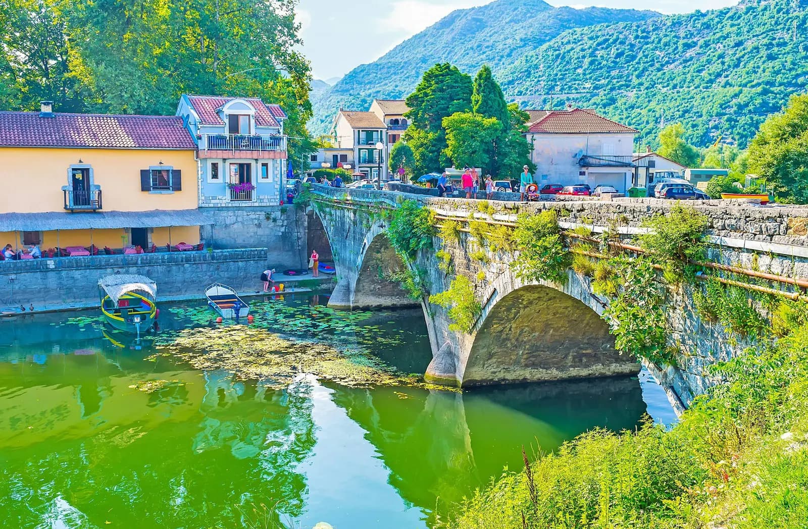
The old Montenegro.com story begins with a left turn in Virpazar, a narrow road and an engine switched off beside the lake. Its headline promised a waterway; its own photographs and sentences recorded a drive. That distinction matters. Virpazar and Rijeka Crnojevića can be connected through the Lake Skadar landscape by road, bicycle or a privately arranged boat excursion, but those are different journeys with different risks. This restored guide preserves the quiet of the original trip while replacing ambiguity with evidence.
The journey in one decision table
| Mode | What it delivers | Main constraint | What to verify |
|---|---|---|---|
| Car | Independent stops and access to both towns | Narrow, winding road; limited stopping space | Current works, weather, parking and return route |
| Bicycle | Slow landscape reading and no parking search | Climbing, heat, traffic interaction and little shade in places | Fitness, water, brakes, visibility and daylight |
| Boat excursion | Water-level view of channels, wetlands and villages | Not scheduled public transit; conditions and route vary | License, vessel, lifejackets, total price, duration and return |
Start with our complete Virpazar guide if you need arrival and town context. The broader Lake Skadar and Virpazar guide is the better foundation for a multi-day stay. This article solves the narrower question: how to understand the corridor to Rijeka Crnojevića without pretending the scenic road and the navigable water system are the same product.
Why the old title was plausible—and still wrong
Water shaped both settlements. Virpazar developed where routes met near the lake; Rijeka Crnojevića grew beside a river navigable close to its source. The park management plan records a former network of lake landings that included both places. It also records the decisive break: modern roads displaced scheduled lake traffic, and regular passenger and freight navigation was abolished in 1981.
That history explains the headline's intuition. The two towns belong to one waterscape, and private excursions can still connect parts of it. But a historical transport system is not a current timetable. The park's 2026–2030 management plan says navigational depths are unreliable, channels are partly or wholly silted, route marking is incomplete and lights are not functioning. That is an institutional baseline, not a verdict on every licensed skipper; it is why visitors should arrange rather than assume a through trip.
The road: a route to drive slowly
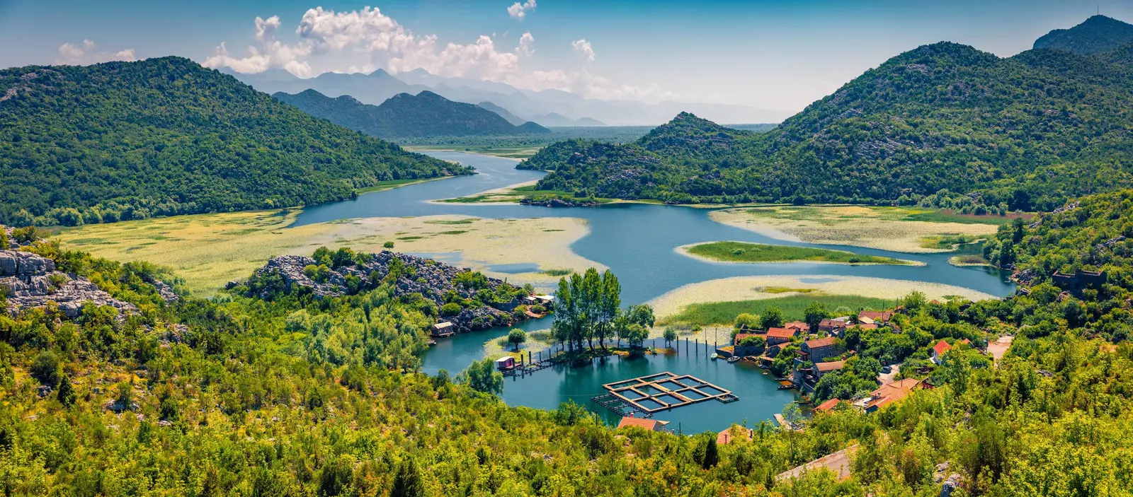
The official national tourism material presents the Cetinje–Rijeka Crnojevića–Virpazar corridor as a panoramic and cycling route. The entire signed TT5 cycling itinerary is published as 39 kilometres, but that number includes Cetinje and must not be misquoted as the Virpazar-to-Rijeka segment. For drivers, distance alone is also a poor planning measure. Bends, gradients, oncoming vehicles, local access and photo stops determine the day.
Leave Virpazar with fuel, water and offline navigation already sorted. Treat every blind bend as occupied. Do not stop in the carriageway for a view and do not block a gate, house access or passing place. If another vehicle needs room, patience is safer than forcing the edge. The original travelogue romanticized turning off the engine in an empty landscape; a modern guide must add that a safe pull-off is a prerequisite.
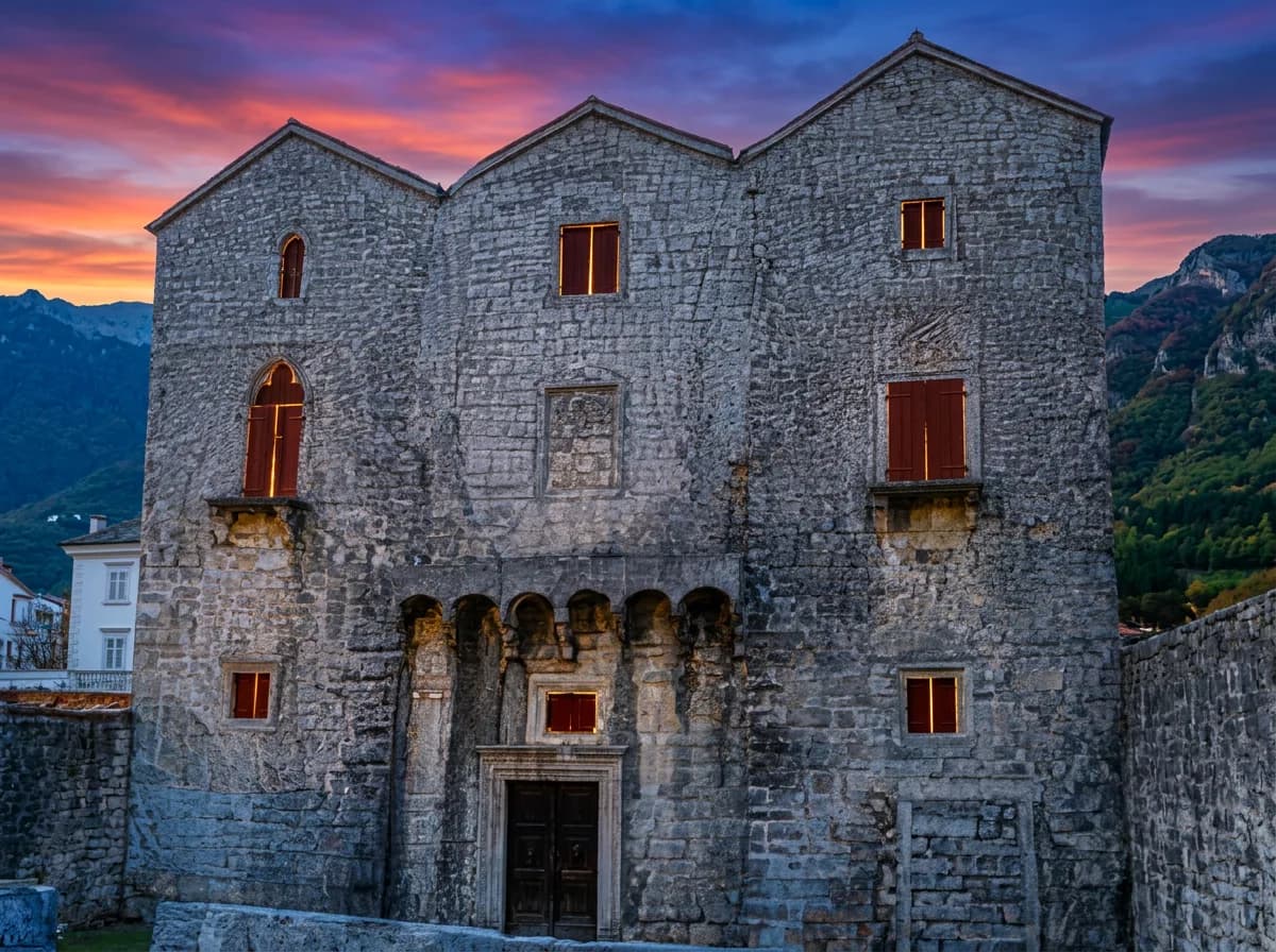
The road crosses a lived-in cultural landscape rather than an empty scenic set. Stone houses, terraces, vines, forest and water appear in sequence because communities have worked around karst terrain and fluctuating shorelines for generations. If Godinje is part of your day, our Godinje village history adds context, but it is a separate detour rather than proof that every stone settlement visible from this road is Godinje.
Rijeka Crnojevića: read the bridge before the menu
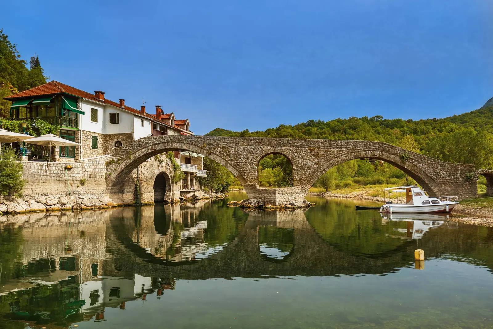
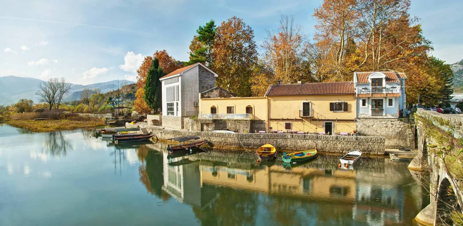
Rijeka Crnojevića deserves more than a restaurant stop. The National Tourism Organisation says Prince Danilo built the stone bridge in 1853 in memory of his father, Stanko Petrović, and identifies it as part of the old caravan connection to Virpazar. That makes the bridge evidence of movement before the modern road: people, goods and authority passed through this small river town.
The wider story reaches back to the Crnojević dynasty and Obod. The National Library of Montenegro records that the Crnojević press printed Oktoih prvoglasnik on 4 January 1494, the first South Slavic Cyrillic book. Tourism accounts associate the press with Obod near the river source. The surviving landscape should be approached carefully: the printing achievement is well documented, but a visitor should not infer that any casually identified cellar contains an intact original workshop.
Use the Rijeka Crnojevića destination guide for a deeper town plan. A short visit can include the bridge, waterfront and a walk toward the river source only if daylight and conditions allow. Ask before photographing people, buy directly where practical, and separate a meal's provenance from marketing language: “local” should mean the restaurant can explain the producer or catch, not merely that the dish appears on a lake menu.
If you choose the boat
The park's current fee page lists entry at €5 per person for one day and separately lists a one-hour ride at €5 per person. It also lists a skippered boat at €40 per hour for a craft of up to 12 seats. Those lines do not guarantee that a private operator's Virpazar–Rijeka Crnojevića itinerary costs that amount, nor do they resolve whether park entry or a cruise is bundled in every sales channel. Check the current official page and obtain the exact inclusions in writing.
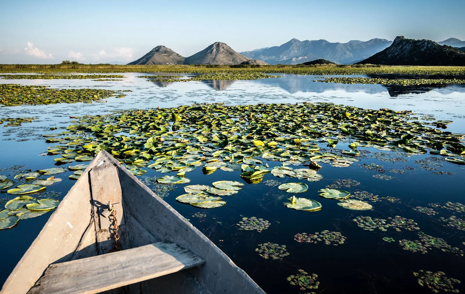
Before paying, establish six facts: departure and return point; total duration; planned route; maximum passenger count; lifejacket availability in suitable sizes; and what happens if wind, water level or visibility forces a change. Ask whether the trip is one-way or round-trip. A photograph of water lilies is not evidence that a particular channel is open today.
Do not hire an unverified boat solely because somebody approaches you near the waterfront. The most consequential evidence is operational: operator identity, permission to work in the protected area, vessel registration where required, safety equipment and a clear price. If the answers are evasive, walk away. For kayaking, add your own ability, wind exposure, heat, drinking water and the return against changing conditions.
A protected lake with overlapping boundaries
Lake Skadar is shared by Montenegro and Albania. The Montenegrin national park was created in 1983, and the Ramsar Convention records the Montenegrin portion as a Wetland of International Importance from 1995. In 2026, UNESCO added the Skadar Lake Watershed in Montenegro to its biosphere-reserve network. These labels overlap in purpose but are not the same legal boundary.
That is why simple size claims are hazardous. Montenegro's Environmental Protection Agency described older park treatments of 40,000 hectares, an imprecise digital boundary of 42,144 hectares and a proposed, more precisely drawn protection area of 45,455 hectares. Meanwhile, the lake's water surface changes with level. A serious guide names the denominator instead of advertising one apparently exact “lake size.”
Low-impact rules that follow from the evidence
The lake is not protected because it photographs well. Ramsar material describes a large fluctuating freshwater wetland with floating vegetation, reed and willow communities and important bird habitat. Montenegro's environmental agency has documented the need for continued flora, fauna and habitat monitoring. Visitor behaviour should follow from that ecological reality.
- Keep noise low near reed beds and never chase birds for a closer photograph.
- Do not ask a skipper to force through vegetation, approach nests or land on restricted islands.
- Carry all waste out; small waterfront bins cannot absorb unlimited excursion traffic.
- Use marked or established access, especially where terraces, jetties and shore belong to residents.
- Buy food and wine with traceable local origin, but never purchase protected wildlife products.
For a nearby history extension, Žabljak Crnojevića explains the former fortified capital on another part of the lake. For a slower portrait of settlement architecture, Through the Houses complements this route without pretending every abandoned structure is public property.
Practical half-day structure
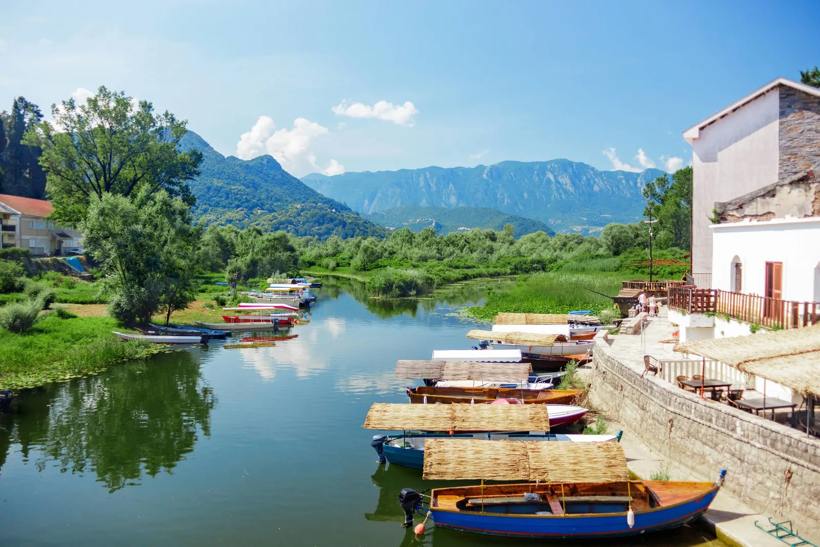
Begin early in Virpazar, when you have enough daylight to absorb delays. Decide before departure whether the day is fundamentally a road journey or a water excursion. If driving, allow the scenery to slow you without making unsafe stops. In Rijeka Crnojevića, walk the waterfront and bridge before choosing a meal or further activity. Return by a route you have already mapped; do not rely on a speculative boat transfer to recover a parked car.
If conditions are poor, shorten the plan. Virpazar plus a brief licensed lake excursion can be a complete day; Rijeka Crnojevića plus Pavlova Strana from the Cetinje side can be another. The point is not to collect every viewpoint. It is to understand how road, river, former caravan route, historic printing and wetland protection occupy the same compact landscape.
Frequently asked questions
Is there a public ferry from Virpazar to Rijeka Crnojevića?
Do not plan on one. The park management plan says regular lake passenger service ended in 1981 and describes present organized navigation as occasional tourist excursions. Arrange a licensed private trip and confirm the return.
Can I drive the route in a normal car?
The corridor is an official panoramic and cycling route, but it is narrow and winding. A vehicle's size, the driver's confidence, current road works, traffic and weather all matter. Check conditions locally and never force a passing point.
How much does Lake Skadar entry cost?
The official park page checked in August 2026 lists €5 per person for a day. It also publishes separate boating and kayak prices. Verify the current page and the exact inclusions before purchase.
What is the historic bridge?
The stone Danilo Bridge at Rijeka Crnojevića dates to 1853 according to Montenegro's national tourism authority. It linked the town with the old caravan route toward Virpazar.
Is Pavlova Strana on the direct old road from Virpazar?
Treat it as a separate viewpoint plan rather than assuming every scenic-road alignment passes it. It is commonly approached near Rijeka Crnojevića from the Cetinje/Podgorica side. Use current navigation and do not stop where parking is unsafe.
Can I identify today's water level from these photos?
No. The images are undated archive files. Water level, lilies, channel conditions and vegetation vary; use current park and operator information.
Sources and methodology
This reconstruction compares the legacy text with the National Parks of Montenegro management plan, fee schedule and national-park law; National Tourism Organisation route and heritage material; Ramsar designation records; Montenegro Environmental Protection Agency boundary and biodiversity work; the National Library's printing history; and UNESCO's 2026 biosphere announcement. Consequential claims link directly to the responsible institutions.
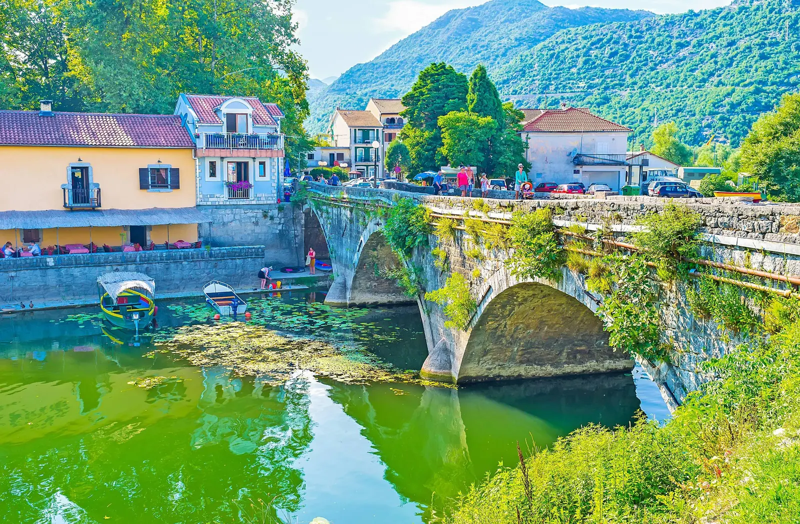
Six original photographs were downloaded and reviewed at full available resolution. Their old alt text called every frame “Virpazar,” even when the subject was the Danilo Bridge or Rijeka Crnojevića waterfront; the captions now describe visible content. No current condition, operator, wildlife sighting, accessibility feature or travel time is inferred from the images. Prices were checked on 26 August 2026 and remain subject to change.