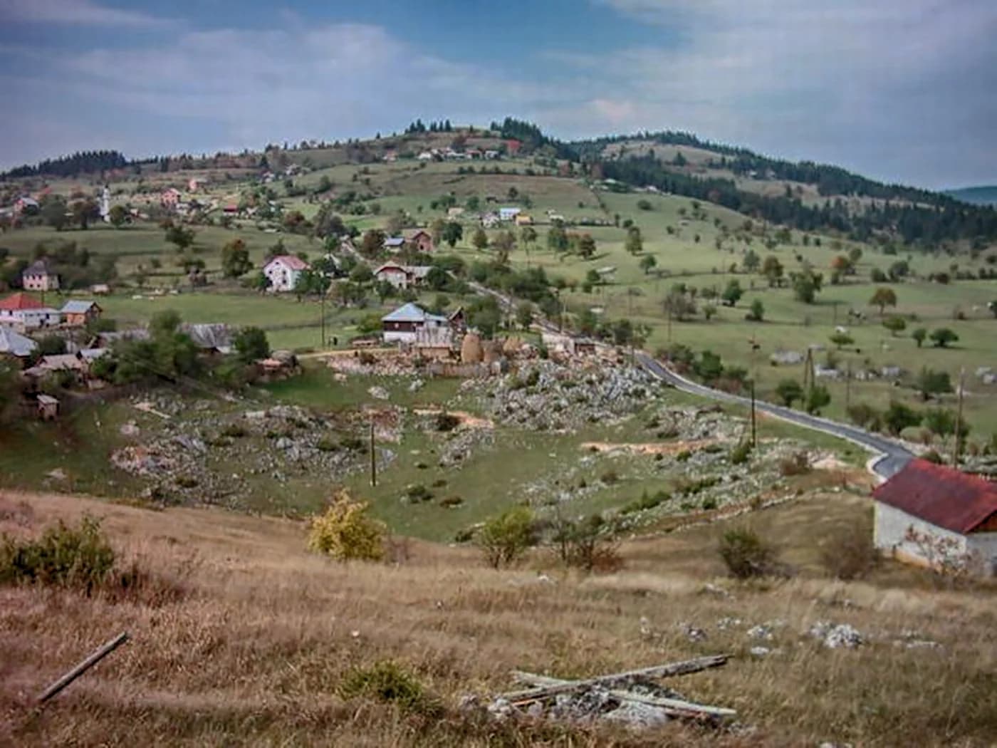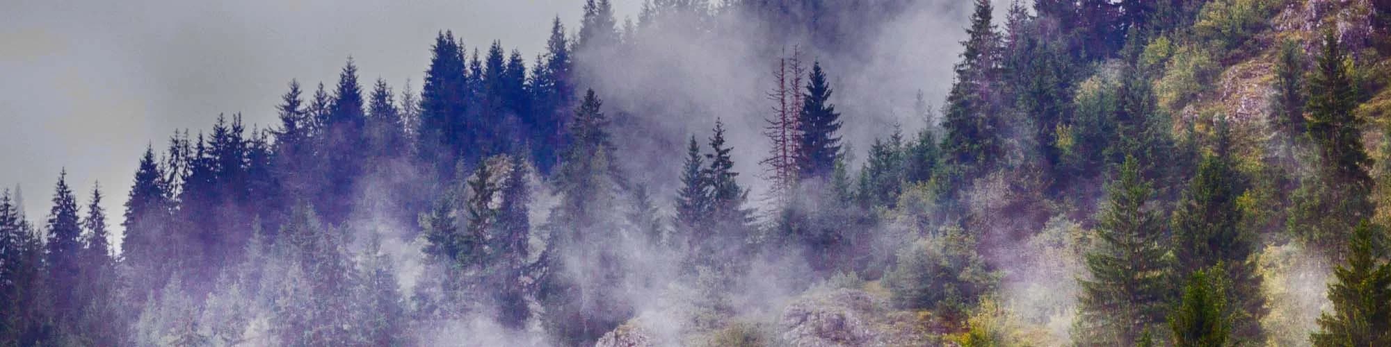
Montenegro’s last town before Kosovo and Serbia: an Ottoman market called Trgovište until 1912, at 1,000 metres on the Ibar, under the 2,403 m wall of Hajla.
Rožaje er den østligste byen i Montenegro, liggende gjemt i en høy fjelldal nær Kosovo-grensen. Omgitt av de dramatiske toppene av Hajla-fjellet og tett bøkeskog, tilbyr byen en særegen kulturell opplevelse formet av sin sterke islamske arv — gjenspeilt i moskeene, tradisjonell mat og varm gjestfrihet. Ruinene av Turjak-festningen over byen minner om århundrer av strategisk betydning ved et veikryss av Balkan-kulturer.
1 overnatting i Rožaje
The only one going up
Population change 2011 to 2023, Rožaje and seven northern neighbours
All thirteen municipalities of the north shrank between the two counts except this one. Rožaje added 220 people — small, but the only plus sign on the map.
The youngest municipality in the country
Average age of the population, 2023 census
Three and a half centuries between the town’s first appearance in the Ottoman tax books and the autumn the flag and the name changed. Widths are to scale.
A day in the basin
A working town of ten thousand, not a resort
Søk blant tusenvis av hoteller og leiligheter med oppdaterte priser.
Vi kan tjene provisjon fra partnerlenker. Dette hjelper oss med å holde Montenegro.com gratis for reisende.
Søk blant hoteller, leiligheter og gjestehus med oppdatert tilgjengelighet.
Vi kan tjene provisjon fra partnerlenker. Dette hjelper oss med å holde Montenegro.com gratis for reisende.
Eleven and a half years younger than Plužine, nearly four younger than the country. In a north that is emptying and ageing, Rožaje is doing neither.
Ottoman registers of 1571 and 1585 · Zavičajni muzej Ganića kula · Treaty of London, 1913.
Rožaje ligger helt øst i Montenegro, ved øvre Ibar nær grensene til Serbia og Kosovo, rundt 1 000 moh. Det er omtrent to og en halv time fra Podgorica, i fjellene mellom Hajla og Mokra Gora.
Snø og ull. Det er blant de kaldeste og mest snørike bebodde stedene i Montenegro, og byen har lang tradisjon for strikkede og vevde ullvarer som selges på markeder i hele regionen.
Ja, i det lille senteret Turjak rett utenfor byen. Det er beskjedent — noen få løyper og heiser — men snøen er pålitelig og varer lenger enn i mer kjente anlegg, og heiskortet koster en brøkdel av Kolašins.
En høy grensrygg over Rožaje som når rundt 2 400 moh., med åpne beiter, sommerstøler og en av landets videste utsikter. Det er byens viktigste turmål om sommeren.
Overveiende bosniakkisk og muslimsk, med moskeer framfor klostre og en mattradisjon deretter — paier, meieriprodukter og lam heller enn sjømat. Den virker nærmere Sandžak enn den montenegrinske kysten, og det er en del av interessen.
For rimelig skikjøring, for Hajla om sommeren og for reisende som krysser mellom Montenegro, Serbia og Kosovo. Byen ligger overhodet ikke på den vanlige turistruten, og er blant de billigste stedene i landet.
Nei — den nærmeste er Podgorica lufthavn (TGD), 175 km unna langs vei.
32,2 km langs vei, omtrent 46 min med bil.
Det britiske utenriksdepartementet (FCDO) fraråder ikke reiser til Montenegro; rådene ble sist gjennomgått 13. august 2026. Det er deres vurdering av landet som helhet, ikke vår og ingen dom over Rožaje — les den selv før du reiser. Nødnummeret i Montenegro er 112.
Rožaje i tall
the town in the 2023 census (preliminary) — 23,184 in the municipality
the town and its suburbs, ringed by mountains over 2,000 m
the Ibar rises from six springs on Hajla and runs on into Serbia — Black Sea water, not Adriatic
Sultan Murat II, also called Kurtagića: pulled down in 2004, reopened in 2008 with two minarets
8 km up from town: 1,158–1,385 m, 1.2 km of piste, €7 a day
Podgorica by road; Priština is 130 km, and the Kosovo border 23 km
MONSTAT 2023 census · citypopulation.de · National Tourist Organisation of Montenegro · Skiresort.info
De nærmeste stedene rundt Rožaje, plassert der de faktisk ligger – Bijelo Polje ligger omtrent 40 km unna i luftlinje.
Skjematisk. Plasseringer og avstander er i luftlinje, basert på koordinatene vi har for hvert sted; fjellveier gjør kjøreturen lengre. Den tykke linjen er kysten der den går gjennom dette utsnittet. Kystlinje og Skadarsjøen © OpenStreetMap contributors.
Noen timer
Two hours cover the town. The mountains are the reason to stay longer.
En hel dag
Town in the morning, mountain in the afternoon.
En helg
The north-eastern Prokletije on Saturday, a border road on Sunday — Rožaje is the base for both.
The centre
Best for the square, the Stara čaršija, the museum and the mosque all within a few minutes on foot
Bandžovo Brdo and Hurije
Best for the slopes just above the centre — counted with the town in the census, quieter than it
Bandžov katun, 9 km up
Best for the PAK Jelenčica mountain hut at 1,460 m: thirty beds, water and power, under the Hajla ridge
Hvem besøker Montenegro
Andel av utenlandske gjesters overnattinger, 2025
MONSTAT · 2025
Folketellinger, Rožaje kommune
The one northern municipality that came out of the 2011–2023 count larger than it went in: 22,964 to 23,184, up 220. Its average age, 35.83 years, is the lowest of any municipality in Montenegro — the national figure is 39.73.
I mellomtiden, i 1912
Rožaje, 1912: Montenegrin forces take the town from the Ottomans in the First Balkan War, and the Treaty of London confirms the transfer the year after. The administrative name Trgovište — market place — goes out of use with the administration that coined it.
What stood then — the Sultan Murat II mosque with the turbe Huršid-paša raised beside it in 1854, and the Ganića kula of 1798, a house built for living in and for defending. Neither survives as it was: the mosque was pulled down in 2004 and rebuilt by 2008, and today’s tower is a reconstruction begun in 2001.
The road — a modern road to Novi Pazar and Berane is still twenty-two years away. Until 1934 the valley moves at the speed of a pack horse.
Elsewhere in 1912: the Titanic goes down in the North Atlantic in April, and Stockholm holds the fifth Olympic Games from May to July.
“The village of Rožaje is entered in the nahiya of Trgovište, in the census register of the Prizren sanjak for 1571.”
The Ottoman defters
Rožaje is first mentioned in the registers of 1571 and 1585; Trgovište — market place — stayed the settlement’s name until 1912 (Wikipedia, Serbian and English editions, citing the Ottoman registers).
“The literature cannot agree who founded it: 1450, 1455, the middle of the 16th century — or 1629, when Sultan Murat IV is said to have raised it in memory of his mother.”
Lokal legende
The Sultan Murat II mosque
marLast of the pistes — the season closes towards the end of March, though the peaks of Hajla carry snow into the summer months
julWalking season on Hajla — the 9 km up to Bandžov katun at 1,460 m, then Grope at about 1,800 m and the 2,403 m summit above it
desThe lifts start turning — the Hajla season opens in mid-December; the day pass is €7 and the lifts run 10:00–15:00, with limited opening midweek
Den lokale tallerkenen
Small baked pastries filled with minced meat: the dish the Sandžak kitchen here is known for, and the one that is always on the table. Beside it, burek and tirit pie from under the sač; after it, homemade blueberry and forest-berry jam from the mountain.
Beste reisetid: juni · juli · september
| Sted | Langs vei | Kjøretid |
|---|---|---|
| Berane | 32,2 km | ca. 46 min |
| Murino | 38,3 km | ca. 54 min |
| Andrijevica | 45,8 km | ca. 1 t 2 min |
| Bistrica | 62,6 km | ca. 1 t 34 min |
| Podgorica | 123,9 km | ca. 2 t 20 min |
| Budva | 182,9 km | ca. 3 t 36 min |
| Kotor | 194,8 km | ca. 3 t 48 min |
Veiavstander beregnet på OpenStreetMap-data, © OpenStreetMap contributors. Kjøretidene er uten kø og tar ikke hensyn til sommertrafikk eller venting på fergeleiet.