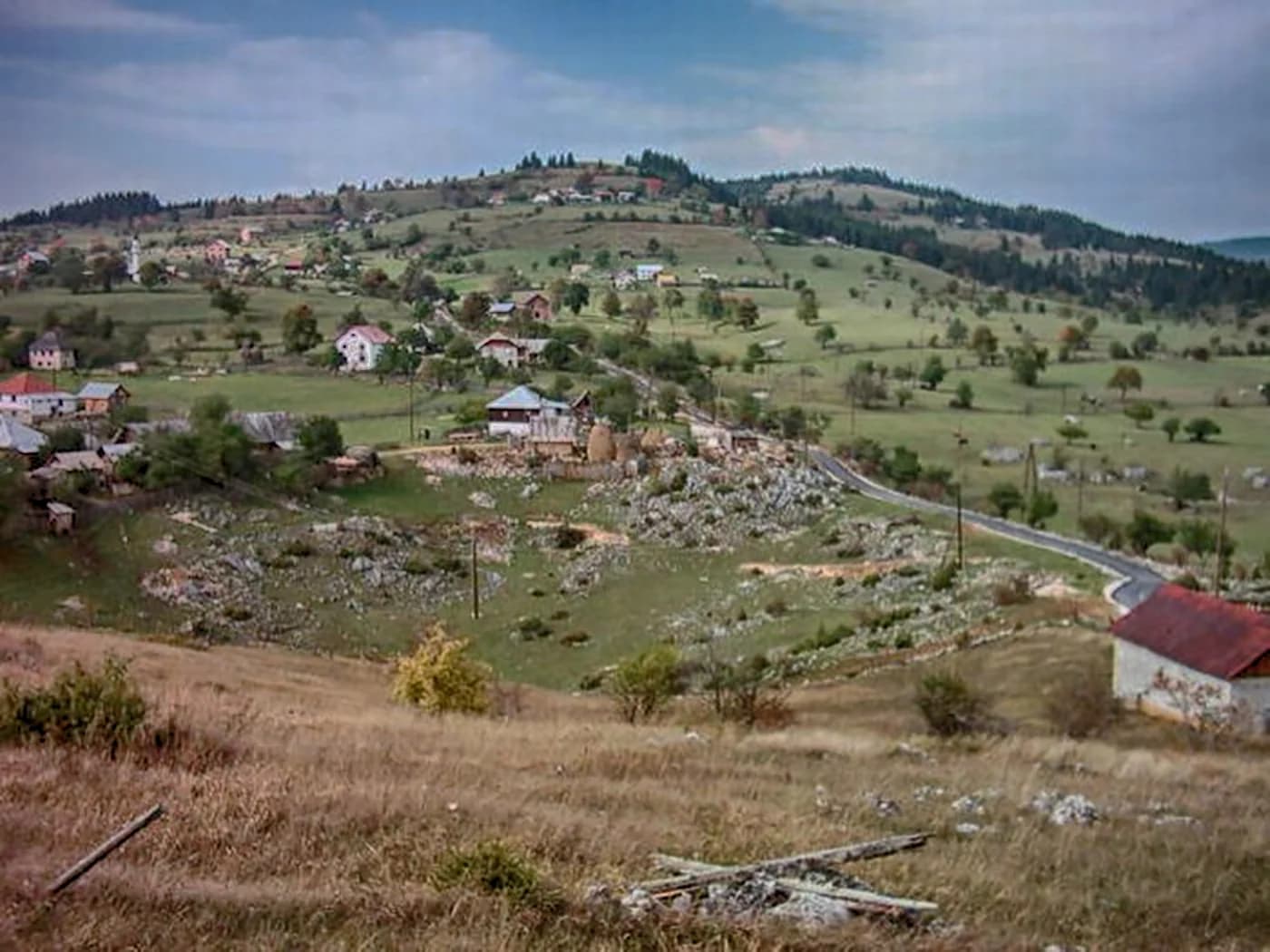
Montenegro’s last town before Kosovo and Serbia: an Ottoman market called Trgovište until 1912, at 1,000 metres on the Ibar, under the 2,403 m wall of Hajla.
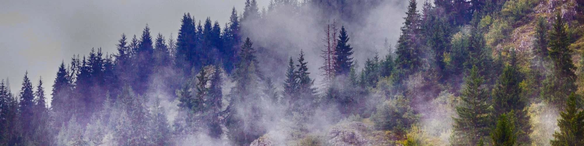
Rožaje är Montenegros östligaste stad, belägen i ett högt bergdal nära Kosovogränsen. Omgiven av de dramatiska topparna på Hajla-berget och täta bokskogar erbjuder staden en särskild kulturell upplevelse präglad av sitt starka islamska arv, vilket återspeglas i dess moskéer, traditionell mat och varm gästfrihet. Ruinerna av Turjak-fästningen ovanför staden påminner om århundraden av strategisk betydelse vid en korsväg mellan Balkankulturer.
1 boende i Rožaje
The only one going up
Population change 2011 to 2023, Rožaje and seven northern neighbours
All thirteen municipalities of the north shrank between the two counts except this one. Rožaje added 220 people — small, but the only plus sign on the map.
The youngest municipality in the country
Average age of the population, 2023 census
Three and a half centuries between the town’s first appearance in the Ottoman tax books and the autumn the flag and the name changed. Widths are to scale.
A day in the basin
A working town of ten thousand, not a resort
Sök bland tusentals hotell och lägenheter med aktuella priser.
Vi kan tjäna provision från partnerlänkar. Detta hjälper oss att hålla Montenegro.com gratis för resenärer.
Sök hotell, lägenheter och gästhus med aktuell tillgänglighet.
Vi kan tjäna provision från partnerlänkar. Detta hjälper oss att hålla Montenegro.com gratis för resenärer.
Eleven and a half years younger than Plužine, nearly four younger than the country. In a north that is emptying and ageing, Rožaje is doing neither.
Ottoman registers of 1571 and 1585 · Zavičajni muzej Ganića kula · Treaty of London, 1913.
Rožaje ligger längst österut i Montenegro, vid övre Ibar nära gränserna mot Serbien och Kosovo, på omkring 1 000 meters höjd. Det är ungefär två och en halv timme från Podgorica, bland bergen mellan Hajla och Mokra Gora.
Snö och ull. Det är en av de kallaste och snörikaste bebodda platserna i Montenegro, och staden har lång tradition av stickade och vävda ylleprodukter som säljs på marknader i hela regionen.
Ja, i den lilla anläggningen Turjak strax utanför staden. Den är blygsam — en handfull nedfarter och liftar — men snön är pålitlig och håller längre än i mer kända orter, och liftkortet kostar en bråkdel av Kolašins.
En hög gränsrygg ovanför Rožaje som når omkring 2 400 meter, med öppna beten, sommarstugor och en av landets vidaste utsikter. Det är stadens främsta vandringsmål på sommaren.
Övervägande bosniakisk och muslimsk, med moskéer snarare än kloster och en matkultur därefter — pajer, mejeriprodukter och lamm hellre än fisk. Den känns närmare Sandžak än den montenegrinska kusten, och däri ligger en del av intresset.
För billig skidåkning, för Hajla på sommaren och för resenärer som korsar mellan Montenegro, Serbien och Kosovo. Staden ligger inte alls på den vanliga turistrutten, och är bland de billigaste platserna i landet.
Nej — den närmaste är Podgorica flygplats (TGD), 175 km bort via väg.
32,2 km längs väg, ungefär 46 min med bil.
Storbritanniens utrikesdepartement (FCDO) avråder inte från resor till Montenegro; råden sågs senast över 13 augusti 2026. Det är deras bedömning av landet som helhet, inte vår och ingen dom över Rožaje — läs den själv innan du reser. Nödnumret i Montenegro är 112.
Rožaje i siffror
the town in the 2023 census (preliminary) — 23,184 in the municipality
the town and its suburbs, ringed by mountains over 2,000 m
the Ibar rises from six springs on Hajla and runs on into Serbia — Black Sea water, not Adriatic
Sultan Murat II, also called Kurtagića: pulled down in 2004, reopened in 2008 with two minarets
8 km up from town: 1,158–1,385 m, 1.2 km of piste, €7 a day
Podgorica by road; Priština is 130 km, and the Kosovo border 23 km
MONSTAT 2023 census · citypopulation.de · National Tourist Organisation of Montenegro · Skiresort.info
De närmaste orterna kring Rožaje, på sina verkliga platser – Bijelo Polje ligger ungefär 40 km bort fågelvägen.
Schematisk. Positioner och avstånd är fågelvägen, utifrån de koordinater vi har för varje plats; bergsvägarna gör bilresan längre. Den tjocka linjen är kusten där den passerar genom den här vyn. Kustlinje och Skadarsjön © OpenStreetMap contributors.
Några timmar
Two hours cover the town. The mountains are the reason to stay longer.
En hel dag
Town in the morning, mountain in the afternoon.
En helg
The north-eastern Prokletije on Saturday, a border road on Sunday — Rožaje is the base for both.
The centre
Bäst för the square, the Stara čaršija, the museum and the mosque all within a few minutes on foot
Bandžovo Brdo and Hurije
Bäst för the slopes just above the centre — counted with the town in the census, quieter than it
Bandžov katun, 9 km up
Bäst för the PAK Jelenčica mountain hut at 1,460 m: thirty beds, water and power, under the Hajla ridge
Vilka besöker Montenegro
Andel av utländska gästers övernattningar, 2025
MONSTAT · 2025
Folkräkningar, Rožaje kommun
The one northern municipality that came out of the 2011–2023 count larger than it went in: 22,964 to 23,184, up 220. Its average age, 35.83 years, is the lowest of any municipality in Montenegro — the national figure is 39.73.
Under tiden, år 1912
Rožaje, 1912: Montenegrin forces take the town from the Ottomans in the First Balkan War, and the Treaty of London confirms the transfer the year after. The administrative name Trgovište — market place — goes out of use with the administration that coined it.
What stood then — the Sultan Murat II mosque with the turbe Huršid-paša raised beside it in 1854, and the Ganića kula of 1798, a house built for living in and for defending. Neither survives as it was: the mosque was pulled down in 2004 and rebuilt by 2008, and today’s tower is a reconstruction begun in 2001.
The road — a modern road to Novi Pazar and Berane is still twenty-two years away. Until 1934 the valley moves at the speed of a pack horse.
Elsewhere in 1912: the Titanic goes down in the North Atlantic in April, and Stockholm holds the fifth Olympic Games from May to July.
“The village of Rožaje is entered in the nahiya of Trgovište, in the census register of the Prizren sanjak for 1571.”
The Ottoman defters
Rožaje is first mentioned in the registers of 1571 and 1585; Trgovište — market place — stayed the settlement’s name until 1912 (Wikipedia, Serbian and English editions, citing the Ottoman registers).
“The literature cannot agree who founded it: 1450, 1455, the middle of the 16th century — or 1629, when Sultan Murat IV is said to have raised it in memory of his mother.”
Lokal legend
The Sultan Murat II mosque
marsLast of the pistes — the season closes towards the end of March, though the peaks of Hajla carry snow into the summer months
juliWalking season on Hajla — the 9 km up to Bandžov katun at 1,460 m, then Grope at about 1,800 m and the 2,403 m summit above it
dec.The lifts start turning — the Hajla season opens in mid-December; the day pass is €7 and the lifts run 10:00–15:00, with limited opening midweek
Den lokala tallriken
Small baked pastries filled with minced meat: the dish the Sandžak kitchen here is known for, and the one that is always on the table. Beside it, burek and tirit pie from under the sač; after it, homemade blueberry and forest-berry jam from the mountain.
Bästa restid: juni · juli · september
| Plats | Längs väg | Körtid |
|---|---|---|
| Berane | 32,2 km | ca 46 min |
| Murino | 38,3 km | ca 54 min |
| Andrijevica | 45,8 km | ca 1 tim 2 min |
| Bistrica | 62,6 km | ca 1 tim 34 min |
| Podgorica | 123,9 km | ca 2 tim 20 min |
| Budva | 182,9 km | ca 3 tim 36 min |
| Kotor | 194,8 km | ca 3 tim 48 min |
Vägavstånd beräknade på OpenStreetMap-data, © OpenStreetMap contributors. Restiderna är utan köer och tar ingen hänsyn till sommartrafik eller väntan vid färjeläget.