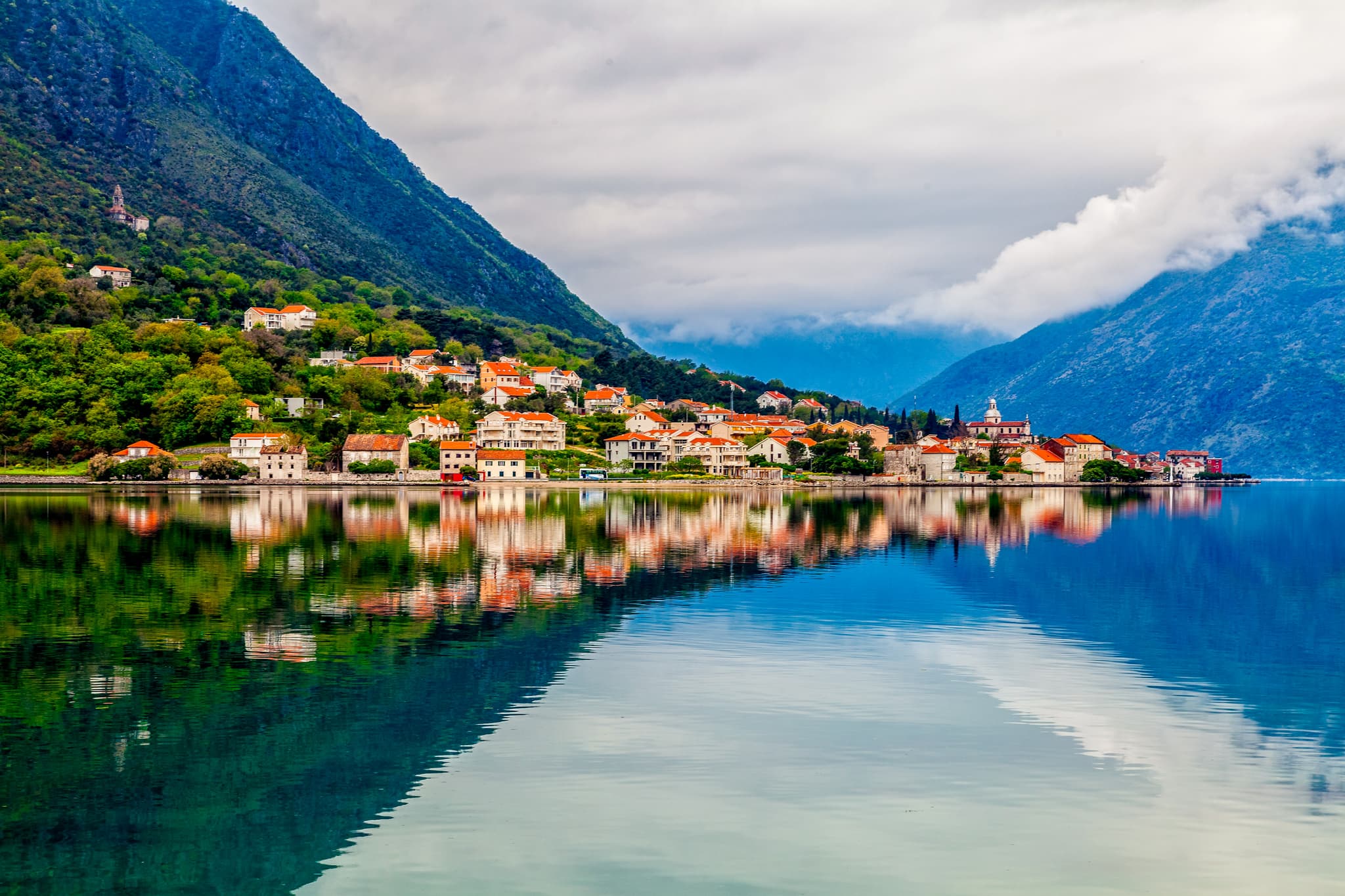
Riviera de Kotor · Boka interior
La carretera costera de Boka
Una carretera llana de un solo carril a los pies del Vrmac, entre palacios de capitanes, iglesitas y embarcaderos para el baño — el paseo más tranquilo por la vieja Boka, desde las murallas de Kotor hasta la orilla de castaños de Stoliv.
Desplázate para recorrer la costa ↓
Conviene saber
- Ruta solo de ida: el autobús municipal de Kotor de Blue Line hace Kotor → Muo → Prčanj → Stoliv por esta misma carretera (~30 min; se paga al conductor en efectivo, mejor con billetes pequeños; el último de vuelta sale hacia las 22:00, más tarde en verano).
- Buena parte del recorrido comparte con los coches una carretera de un solo carril y sin acera continua — no te separes de los niños en los tramos estrechos; aunque es llano, no es lo más cómodo para ir con carrito.
- Entre Muo y Prčanj hay tramos largos sin sombra — lleva agua; todo el paseo marítimo de Prčanj está lleno de escalerillas y plataformas para bañarse.
- Ven entre finales de febrero y marzo para ver las camelias de Stoliv en flor; a finales de julio, la fiesta de Sv. Ilija sube hasta Gornji Stoliv.
El paseo
Puerta del Mar de Kotor
Etapa 1 de 6 →
Empieza bajo las murallas de una ciudad medieval declarada Patrimonio de la Humanidad por la UNESCO, al fondo de la bahía, donde montañas grises caen a pico sobre unas aguas que recuerdan a un fiordo. Tras las puertas: callejuelas empedradas de mármol, plazas escondidas, iglesias románicas y palacios venecianos de contraventanas cerradas, con la catedral de San Trifón en el centro. En cinco minutos, la carretera costera deja atrás a las multitudes de los cruceros.
En este tramo

Bay of Kotor: Complete Guide to Montenegro's Drowned River Canyon
The bay cuts 28 km inland below limestone walls over 1,000 m high: Kotor's ramparts, Perast's palazzi, Our La…
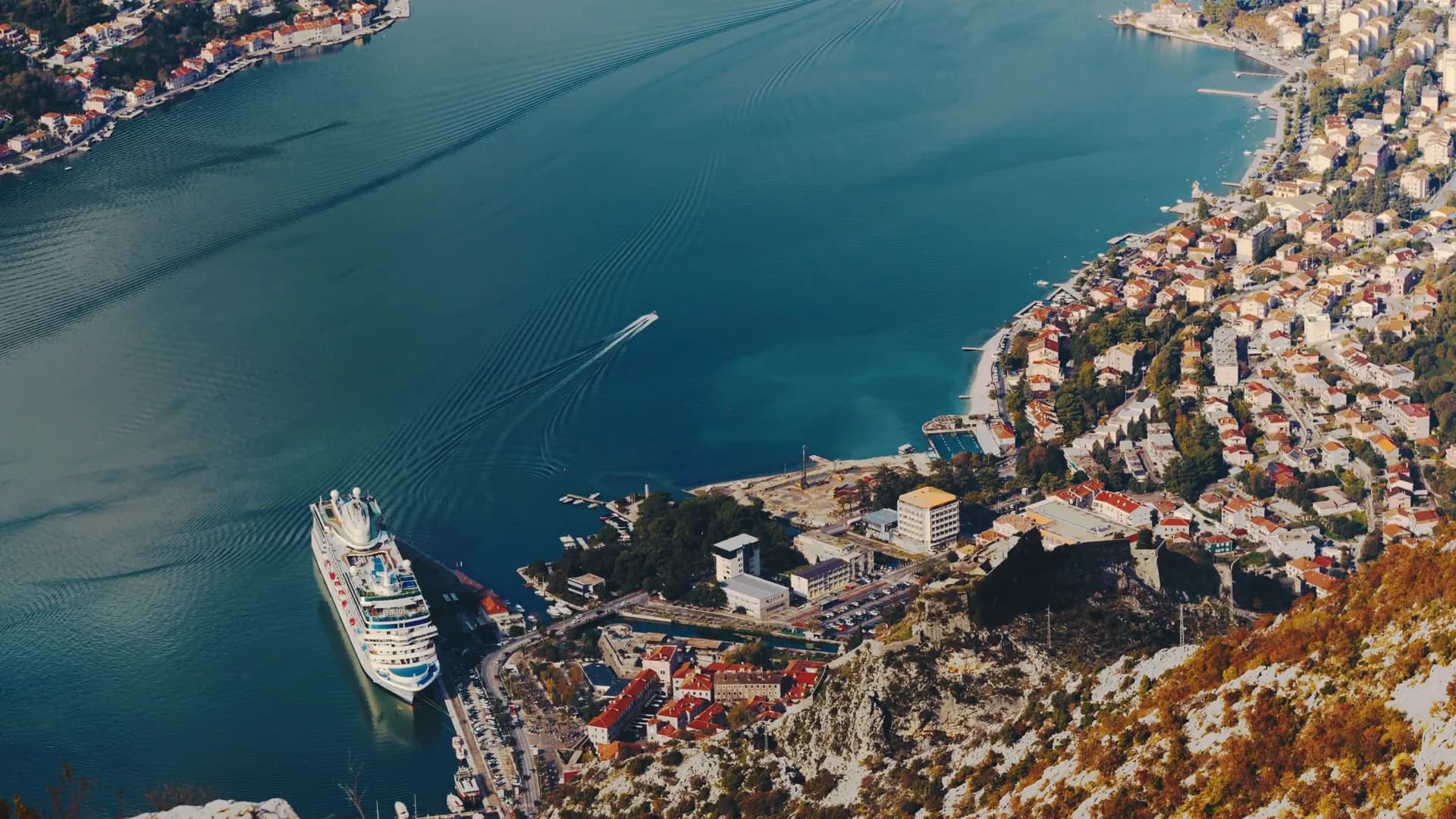
Things to Do in Kotor, Montenegro: Old Town, Fortress and Beyond
A UNESCO Old Town under vertical cliffs: the fortress climb and its free alternative route, where locals eat,…
Comer y beber
- Galion2 min a pie
Muo
Etapa 2 de 6 →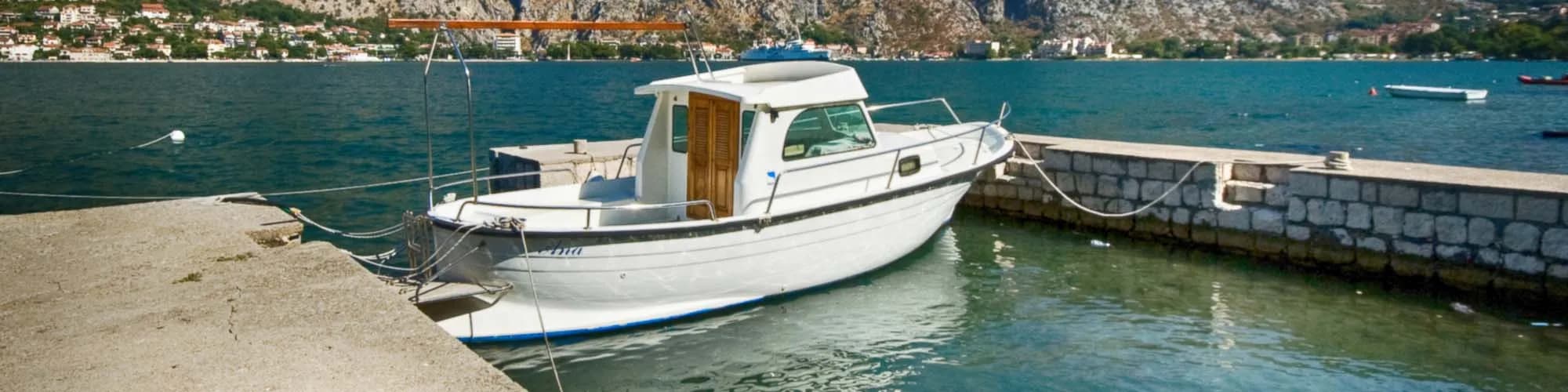
Un pueblo pesquero de unos 800 habitantes en la orilla occidental de la bahía interior, justo enfrente del casco antiguo de Kotor, al otro lado del estrecho. La mayoría de los visitantes solo lo vislumbran desde las murallas o desde la cubierta de un crucero, y de eso se trata: Muo ofrece la vista despejada en primera fila de la ciudad amurallada que la propia Kotor no puede dar. Su iglesia, como las de los demás pueblos de la orilla occidental, miró históricamente hacia Venecia; su festividad cae el 16 de agosto.
Palacio Tre Sorelle
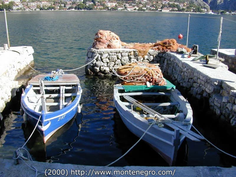
Etapa 3 de 6 →Tres ventanas góticas idénticas miran al mar desde esta residencia frente al agua en Glavati. El material patrimonial municipal respalda una datación en el siglo XV, un nombre escrito en el siglo XVI, una vinculación con la familia Buća y la característica forma tripartita. No nombra a tres hermanas, ni identifica a su marinero, ni demuestra que los vanos tapiados marquen sus muertes: la leyenda y el registro son dos corrientes distintas, y el edificio se ve desde fuera.
Paseo marítimo de Prčanj
Etapa 4 de 6 →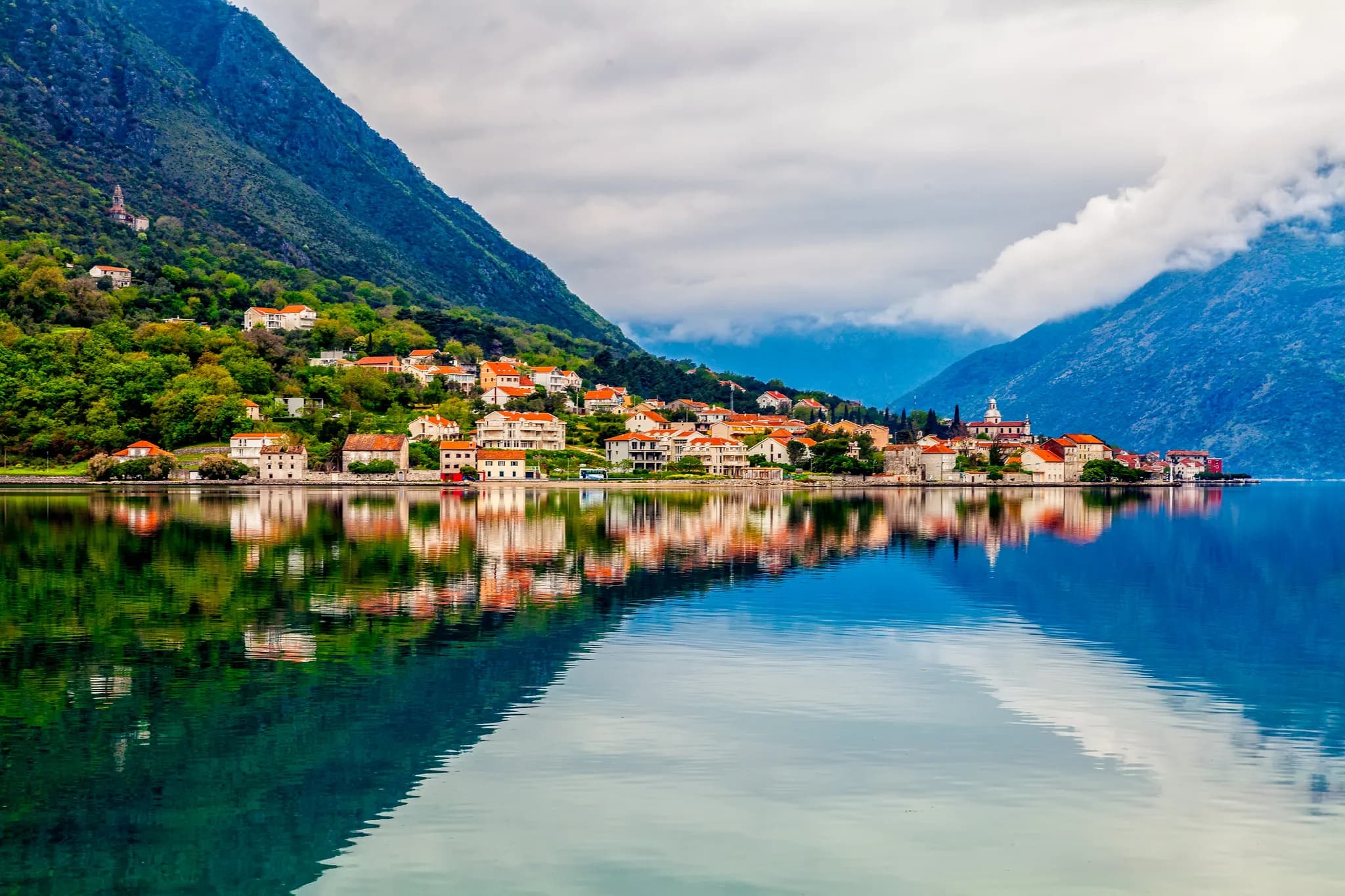
Un kilómetro de casas de capitanes y escalerillas de baño a lo largo de la orilla oriental, justo enfrente de Perast. Unas 1.500 personas viven en uno de los asentamientos más antiguos de la Boka: entre los siglos XVII y XIX su flota estuvo entre las mayores de la bahía, y el pueblo dio un número notable de capitanes de barco. Ante ti se alza la gran iglesia junto al agua.
En este tramo
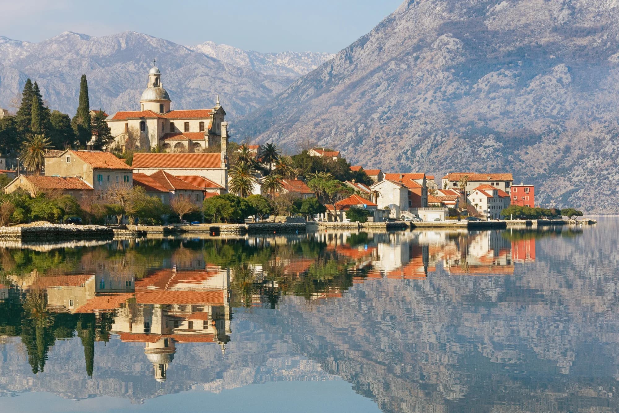
Prčanj: Bay of Kotor's Village of Maritime Captains
Prčanj is a historic Bay of Kotor village famous for its maritime captains' palaces and a monumental church,…
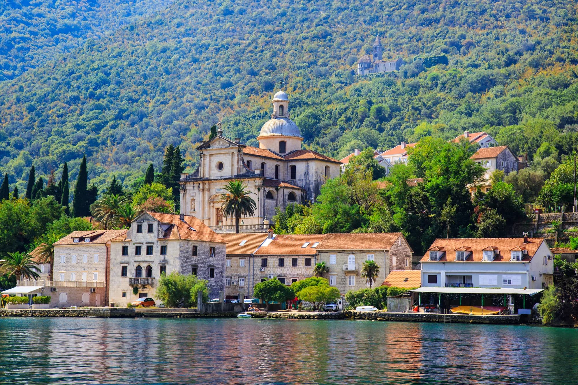
Prčanj Church & Ivo Visin 2026: History and Visit
Read Prčanj’s monumental Church of the Nativity through verified construction records, current conservation w…
Comer y beber
- Konoba Boka Bay2 min a pie
- Bokafina2 min a pie
Qué ver
- Palace Verona2 min a pie
Iglesia de la Natividad de la Virgen
Etapa 5 de 6 →La iglesia parroquial de la Natividad de la Santísima Virgen María —Bogorodičin hram—, iniciada en 1789, terminada en 1909 y consagrada solemnemente en 1913. Su planta es la de una basílica de tres naves con cúpula, aunque las fuentes consultadas no acreditan un título canónico de basílica. La colección registra la bandera Merito Navali, la cruz de caballero y el retrato del capitán Ivo Visin; lo expuesto puede cambiar durante obras y cultos, y no se encontró ningún horario público fiable, así que pregunta antes en la parroquia.
En este tramo
Qué ver
- Ivo Vizin birth house2 min a pie
- Hotel Splendido (named for Vizin’s ship)2 min a pie
Stoliv
Etapa 6 de 6 →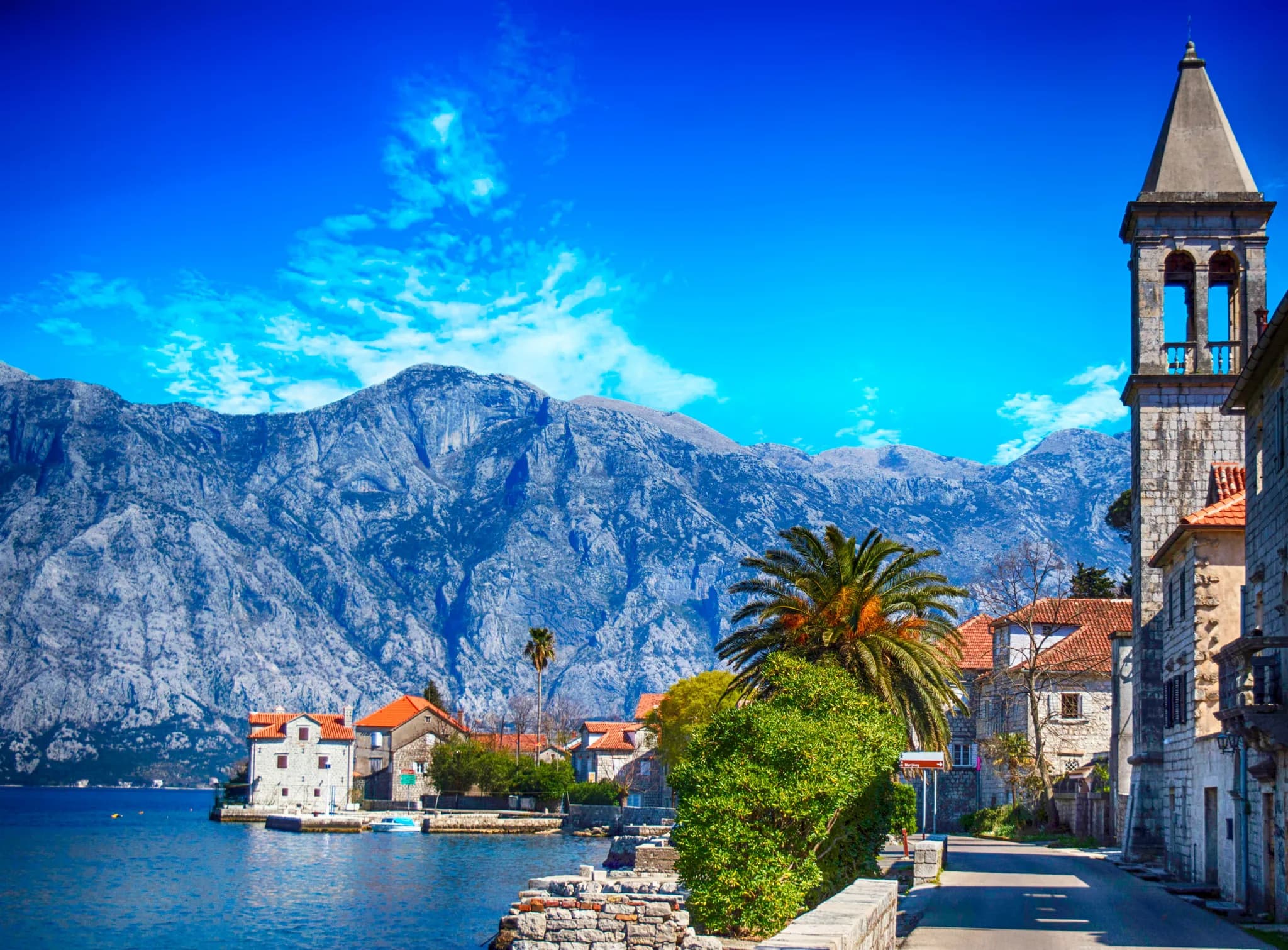
Dos pueblos, un solo nombre, en las empinadas laderas occidentales del Vrmac. Donji Stoliv es el pequeño núcleo junto al agua, a lo largo de la orilla; Gornji Stoliv es una aldea casi abandonada de viejas casas de piedra a unos 240 metros de altura, entre castaños, a la que solo se llega a pie. La orilla baja unía a la gente con las barcas y el comercio; la parte alta aprovechaba un terreno defendible y cultivable, y la antigua subida es empinada y expuesta cuando hace calor.
En este tramo
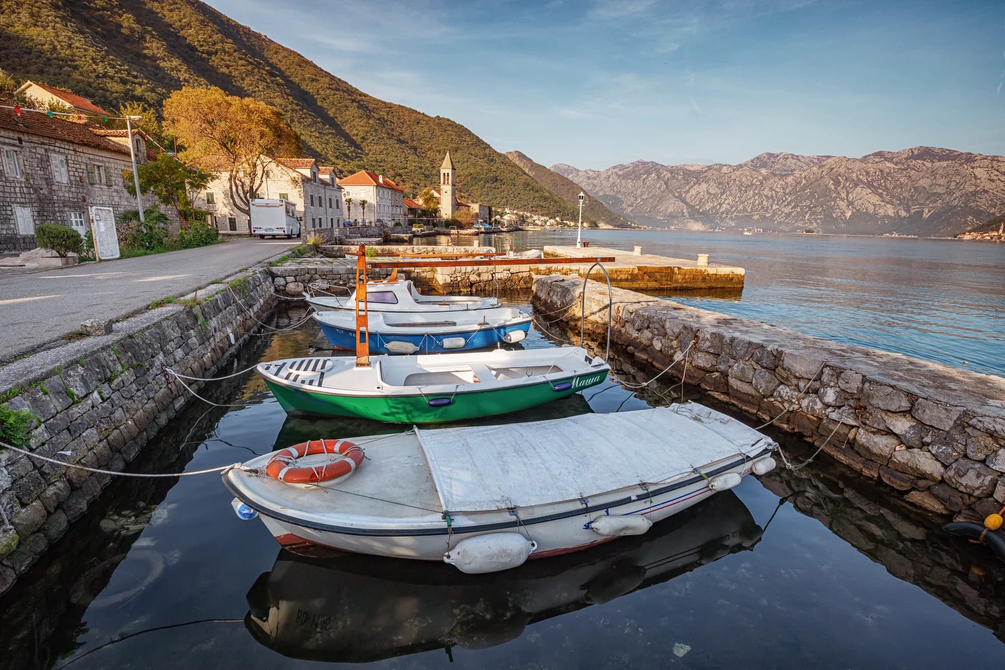
Stoliv: A Timeless Stone Village in the Bay of Kotor
Stoliv is a fascinating two-part Bay of Kotor village: an atmospheric abandoned hilltop hamlet with stunning…
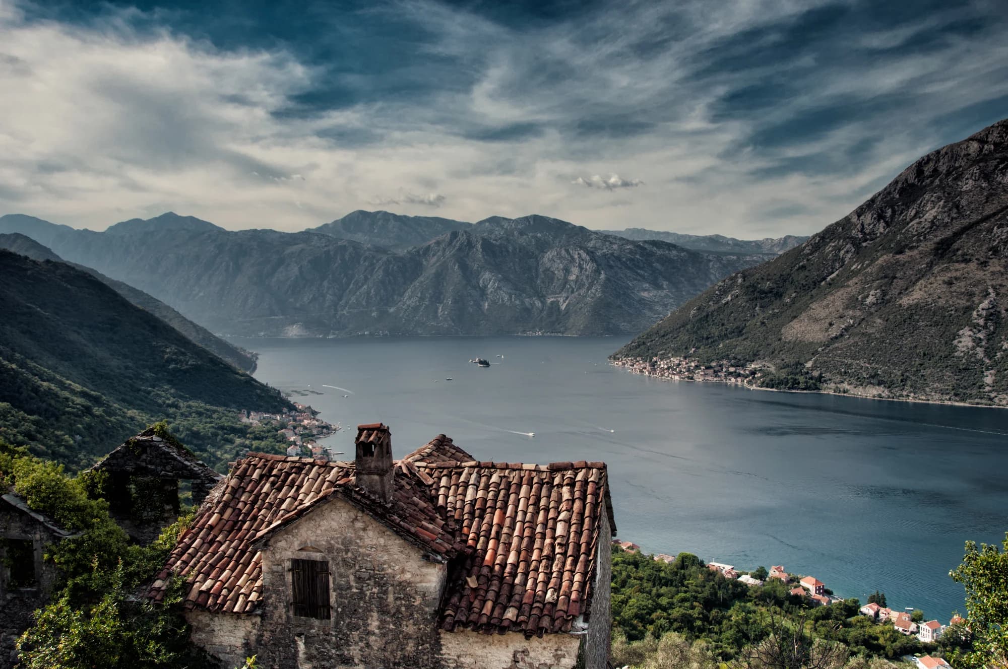
Gornji Stoliv 2026: Chestnut-Forest Heritage Walk
Climb from Donji to Gornji Stoliv through a protected chestnut landscape, read the churches and stone settlem…
Comer y beber
- Konoba Furešti2 min a pie
Qué ver
- Gornji Stoliv & Sv. Ilija viewpoint (steep 45-min detour)2 min a pie
Dónde puedes bañarte
Una playa en esta ruta. Está medida, verificada y muestreada en su propia página.

Continúa por la costa
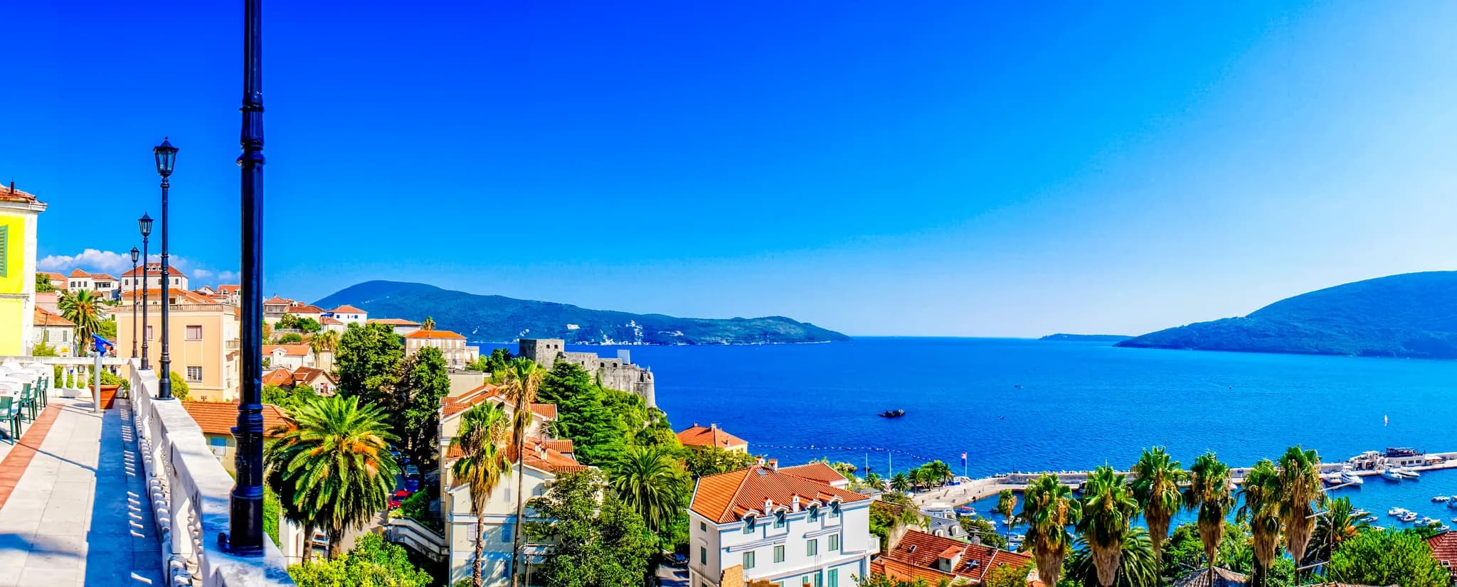
Riviera de Herceg Novi
Paseo Pet Danica
Siete kilómetros de paseo marítimo que llevan el nombre de cinco muchachas del lugar — cinco Danicas, partisanas durante la guerra, varias de las cuales nunca volvieron de Sutjeska en 1943. El paseo discurre sobre el trazado del ferrocarril de 1901, el primero que trajo viajeros a esta costa, desde los jardines del balneario de Igalo hasta las grúas del astillero de Bijela.
18.1 km · 11 paradas
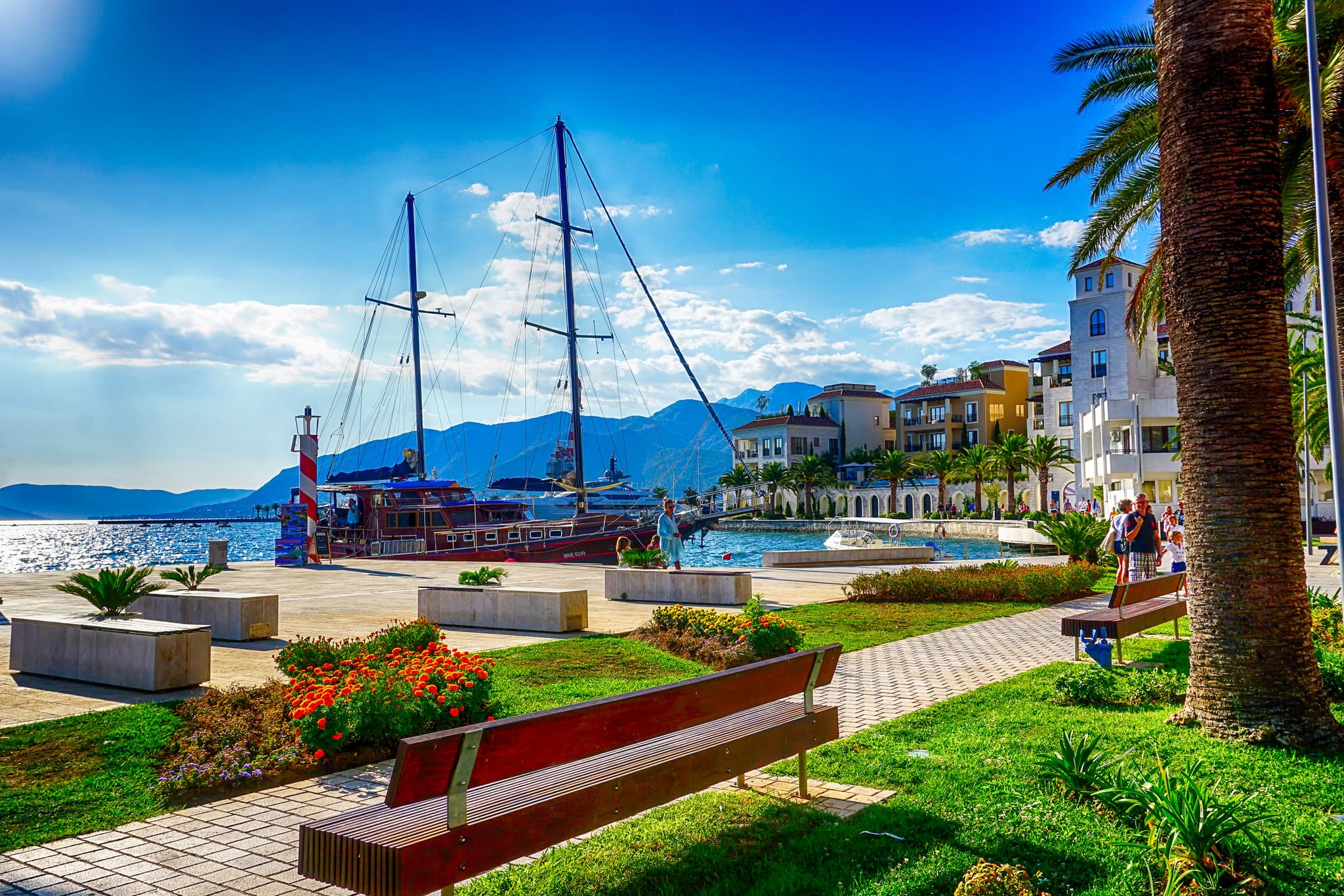
Riviera de Tivat
Pine y Porto
El viejo frente marítimo de un pueblo pesquero que se convierte en puerto de superyates y vuelve a ser playa urbana a la sombra de los pinos — el paseo donde mejor conviven lo antiguo y lo nuevo en Montenegro, llano de principio a fin.
5.8 km · 6 paradas

Riviera de Budva
Las Siete Bahías
El paseo más célebre de la costa: paseos marítimos, un túnel peatonal que atraviesa el acantilado, calas escondidas y senderos entre pinos que enlazan siete bahías — con final en la vista de postal de Sveti Stefan.
11.4 km · 8 paradas