Montenegro · Bay of Kotor
A village named for its stonemasons, whose red rock reached St Mark’s — and which the whole country now knows only as a place to queue for the ferry.
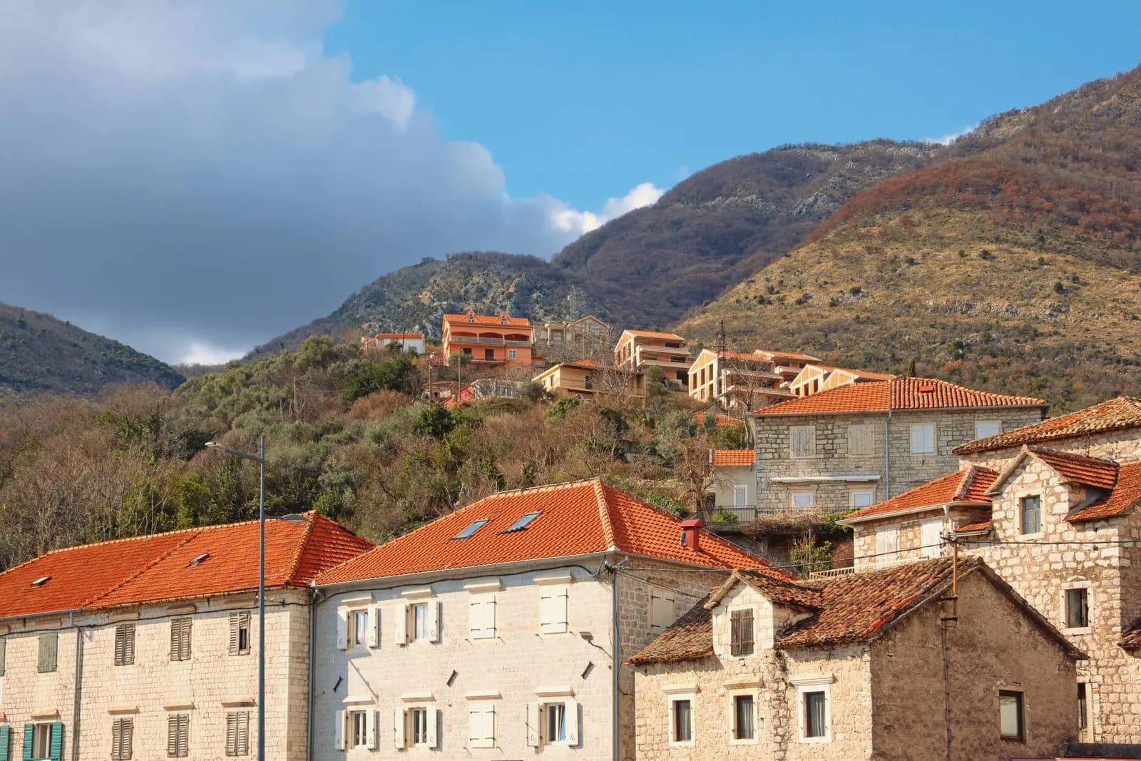
Kamenari se trouve au point le plus étroit de la baie de Kotor, là où le détroit de Verige se resserre à 350 mètres et où le bac de Lepetane traverse en cinq minutes — épargnant une trentaine de kilomètres de route pour contourner le fond de la baie. Le village tire son nom de la pierre : kamen. Ses tailleurs travaillaient la roche rouge de Đurići, toute proche, que la tradition locale relie au dallage de Saint-Marc à Venise et à des palais et des églises de Zadar, Trieste, Turin et Nice.
0 hébergement à Kamenari
Aucun hébergement répertorié à Kamenari pour le moment. Revenez bientôt !
Who is still here
Population change by settlement, 2011 to 2023
Five of the six villages on this shore lost people in twelve years. Đenovići is the only one that gained, and it is also the only one with unbuilt shore left.
The riviera by size
Residents by settlement, 2023 census
Bijela alone holds more people than Kumbor, Đenovići and Đurići together — this is a shore of small villages with one town on it.
Qui visite le Monténégro
Part des nuitées des visiteurs étrangers, 2025
MONSTAT · 2025
Les prix à Kamenari
Summer 2026. Motorcycles €2, bicycles €1, larger vehicles €8–25. The boat runs around the clock from May to October.
Recensements, municipalité de Kamenari
Down a fifth in twenty years. Everything that made Kamenari — the quarry, the omnibus, the ferry company — was work, and the work either finished or was nationalised; what is left is a crossing people drive onto without stopping.
Kamenari has been a crossing point for as long as it has been anything. Widths are to scale.
Herceg Novi tourist board; Total Montenegro News.
La forme de la baie
Les villes à leur position réelle ; l'eau dessinée en ruban
A day at the ramp
Queue pressure by hour, high season
Pendant ce temps, en 1901
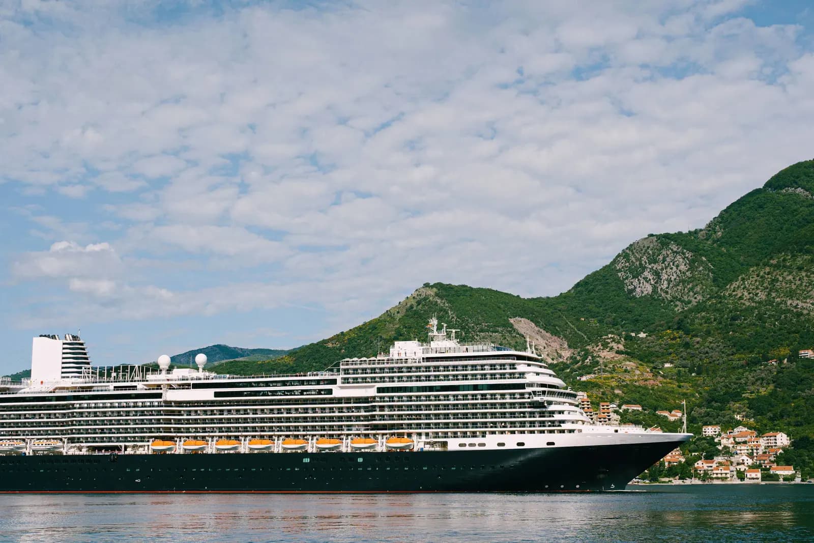
Kamenari, in 1901 the Milošević and Sekulović families put a paddle boat across the Verige strait. The line has run ever since; it now carries well over a million vehicles a year.
Two years earlier — thirty-three shareholders had founded the Bokeljski Omnibus, horse-drawn carriages on the Kamenari–Herceg Novi road: the bay’s first transport company.
Stockholm: the first Nobel Prizes are awarded.
Signal Hill — Marconi hears the letter S sent across the Atlantic by wireless.
Zagreb: the narrow-gauge line to Zelenika, one bay west, is four years from opening.
“Thanks to the stone from Đurići, Kamenari is known not only in these parts but across the Atlantic.”
Total Montenegro News, on the village quarry
Local accounts credit the red Đurići stone with part of the pavement of St Mark’s in Venice, and palaces and churches in Zadar, Trieste, Turin and Nice.
Recherchez parmi des milliers d'hôtels et d'appartements avec les prix en temps réel.
Nous pouvons percevoir une commission via des liens partenaires. Cela nous aide à garder Montenegro.com gratuit pour les voyageurs.
Recherchez hôtels, appartements et maisons d'hôtes avec disponibilités en temps réel.
Nous pouvons percevoir une commission via des liens partenaires. Cela nous aide à garder Montenegro.com gratuit pour les voyageurs.
maiRound-the-clock sailings begin — the boat runs all night from May to October
juil.Peak crossing — the heaviest month on the ramp — cross early or late
nov.Winter timetable — service narrows to 06:00–midnight with scheduled night sailings
L'assiette locale
The default of every konoba on this shore: whole squid over coals, blitva and potato alongside, olive oil and lemon and nothing else. Eat it looking at the strait, which is the point.
Où The waterfront konobas either side of the ferry ramp
Kamenari en chiffres
across the Verige strait to Lepetane — against roughly 30 km around the bay
the narrowest point of the Bay of Kotor, right off the ramp
2023 census, Đurići settlement
Tivat, once you are across
MONSTAT 2023 census (Đurići settlement) · Herceg Novi tourist board
Quelques heures
Kamenari is a ten-minute stop that explains the whole geography of the bay.
Une journée entière
Use the ferry as the hinge of the day and you see both shores without driving the long way once.
By the ramp
Idéal pour anyone catching an early flight from Tivat — you are twelve kilometres and one short crossing away
The village shore
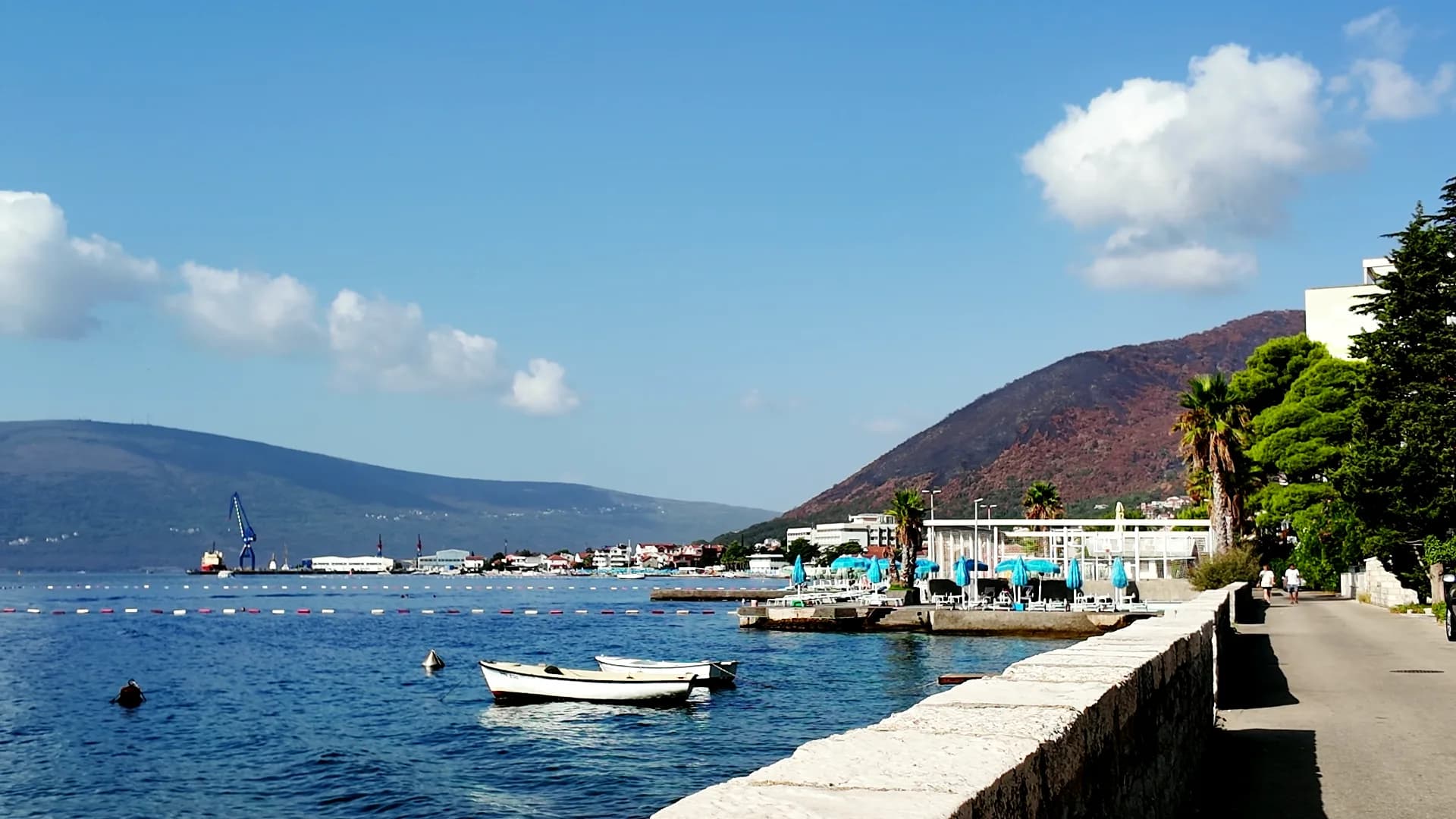
Idéal pour quiet water and a pebble beach, with the traffic behind you rather than past you
Bijela, five minutes west
Idéal pour more rooms, more restaurants, the same strait
Meilleure période: mai · juin · septembre
Schéma — pas une carte marine.