Montenegro · Bay of Kotor
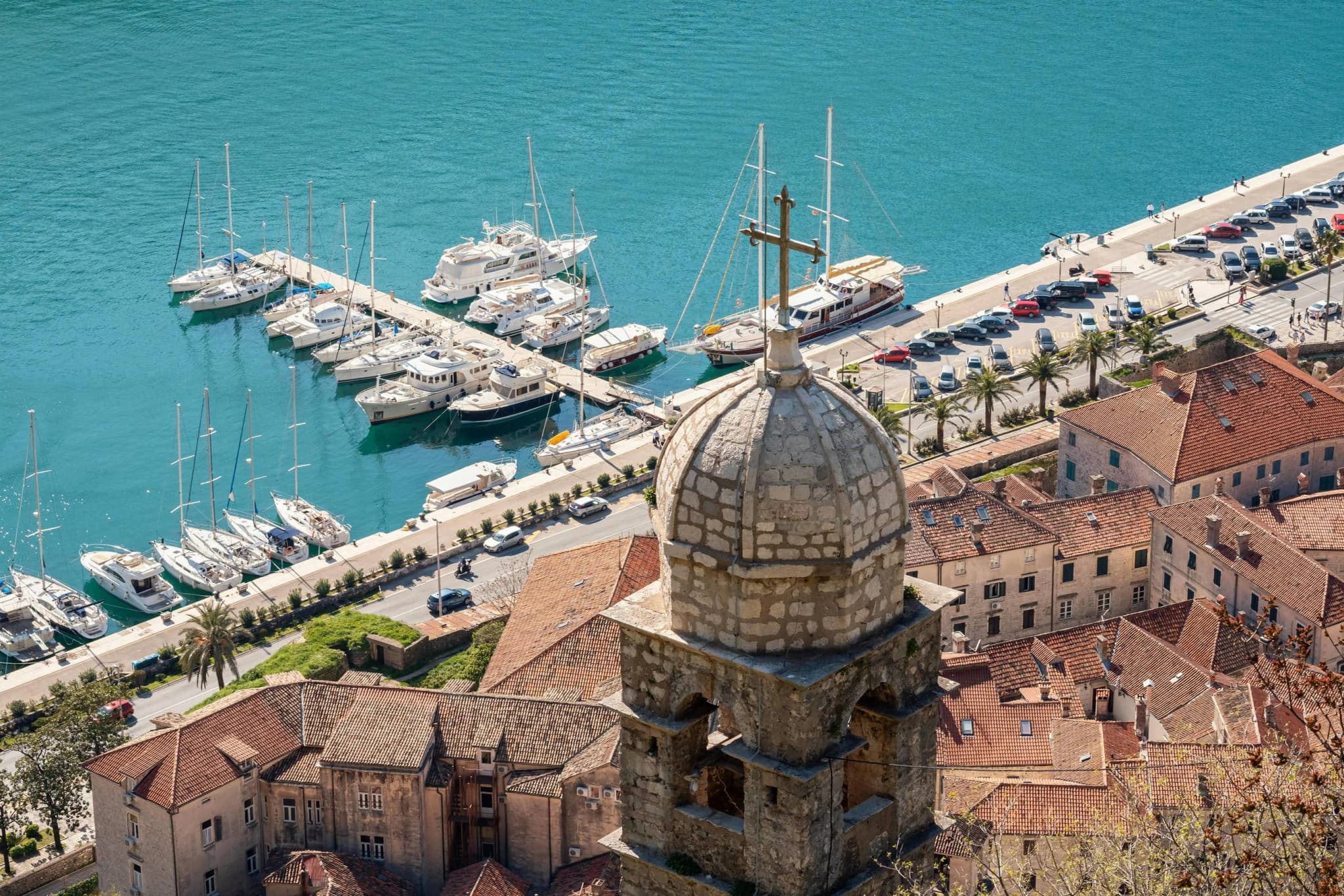
Kotor’s four-kilometre waterfront of captains’ palaces — one shoreline road, three centuries of shipping money.
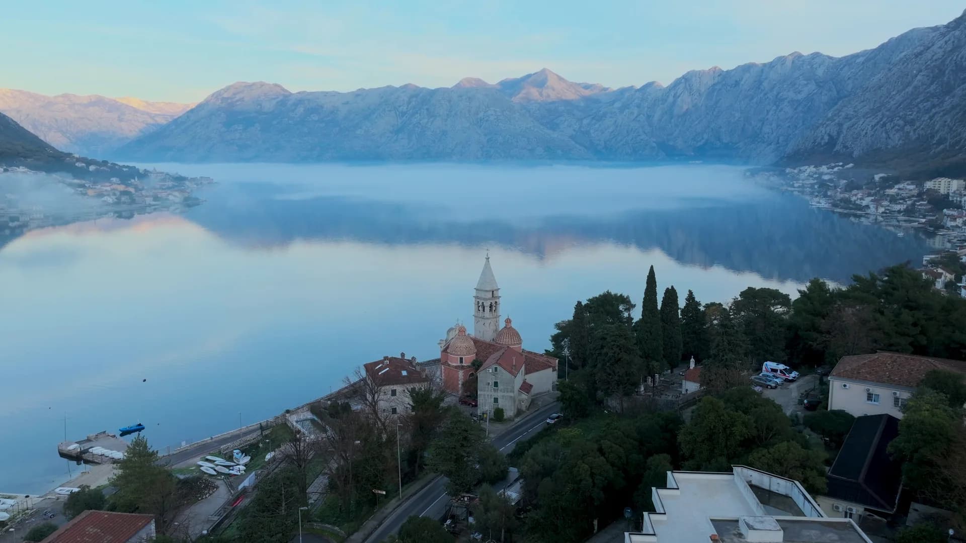
Dobrota stretches elegantly along the shore of the inner bay, adjoining Kotor's Old Town and effectively forming its quieter, more spacious neighbour. Like Prčanj, it grew prosperous through the sea: once home to a powerful seafaring brotherhood, its waterfront is lined with stately captains' palaces and noble houses whose Baroque facades still speak of Boka's maritime golden age. The centrepiece is the Church of St Eustace (Sv.

1846TodayPhotos: Diego Delso, delso.photo — CC BY-SA 3.0
A few hours
Dobrota is a promenade with a town attached; walk it slowly.
One full day
Sleep in Dobrota, visit Kotor — the locals’ arrangement, available to anyone.
St Matthew quarter
Best for the Kotor end — the Sea Gate is a flat fifteen-minute walk
St Eustace shore
Best for the heart of the palace waterfront: jetties, konobas, the campanile
Ljuta
Best for the quiet north end, where a cold karst river meets the bay
1 accommodation in Dobrota
Where Kotor actually lives
Settlement populations on the coast, 2023 census
The postcard is Kotor; the population is Dobrota — the bay’s biggest settlement, by a distance.
Who visits Montenegro
Share of foreign overnight stays, 2025
MONSTAT · 2025
What things cost in Dobrota
Kotor’s restaurants without Kotor’s queues, four minutes up the shore.
Census population, Dobrota municipality
Dobrota holds five times more people than Kotor’s walled town — when the Old Town hollowed out, this shoreline is where Kotor moved.
Dabrathum enters the Kotor archives in 1260. Widths are to scale: Venice ruled Dobrota longer than every flag since, combined.
Kotor archives (first mention 1260); standard chronology.
The shape of the bay
Towns at their true positions; the water drawn as a ribbon
A day on the shore road
Four kilometres of waterfront set the pace
Meanwhile, in 1756
Piraeus, April 1756: a Tripolitan corsair xebec — 360 men, 40 guns, Hadji Ibrahim commanding — catches two Dobrota merchantmen in harbour. Marko and Jozo Ivanović fight it with forty crew and eight cannon.
Seven hours — Marko shoots the corsair captain and is himself mortally wounded; the xebec runs aground; Jozo boards her and strikes her flag. The chained oarsmen walk free.
Venice — the Republic enrolls the brothers among the Knights of St Mark. A tartane of Dobrota had taken a warship ten times her strength.
Salzburg: the same year, Mozart is born; the Seven Years’ War is weeks away.
Today — the corsair’s flag and turban came home as trophies, and the parish of St Eustace still tells the story.
“While the captains sailed, their wives ran the trade and stitched Dobrota lace — the church of St Eustace still keeps their finest pieces.”
Local legend
The lace of Dobrota
Search thousands of hotels and apartments with live prices.
We may earn a commission from partner links. This helps us keep Montenegro.com free for travelers.
Search hotels, apartments and guest houses with live availability.
We may earn a commission from partner links. This helps us keep Montenegro.com free for travelers.
Dobrota stretches along the shore immediately north of Kotor, a ribbon of houses several kilometres long between the water and the mountain. It is part of Kotor municipality and lies inside the UNESCO-protected area of the bay.
Its captains' houses. Dobrota was one of the wealthiest seafaring settlements in the Bay of Kotor, and the baroque palaces and family chapels along the waterfront are what that wealth built. The churches of St Eustace and St Matthew hold the best of the surviving art.
The nearer end is a 15-minute walk along the waterfront; the far end is several kilometres further. Buses run the length of it and taxis are cheap, but the shoreline walk into Kotor is the pleasant way to do it.
It is one of the best bases on the bay. You get quiet, water-front rooms and easier parking than inside the walls, with Kotor's old town close enough to walk to for dinner — which is why much of Kotor's accommodation is actually here.
Concrete bathing platforms and small pebble patches run much of its length, with ladders into deep, clear water. It is bay swimming rather than beach life, and it stays calm even when the coast outside is choppy.
Walk the waterfront past the palaces, visit St Eustace and St Matthew, swim from the platforms, eat at the konobas along the water, and use it as the base for Kotor, the fortress climb, Perast and the boat trips into the inner bay.
JulConcert season — chamber music in the captains’ churches
AugBay swimming weeks — the shore road becomes one long diving platform
The local plate
Dobrota’s tables sit a metre off the bay: mussels and langoustines in wine-and-breadcrumb buzara, from farms you can see from your chair. The captains ate the same; the recipe never needed changing.
Where Waterfront konobas along the Dobrota shore road
Dobrota in numbers
captains’ houses strung along the shore road, gardens to the water
St Matthew and St Eustace — built on baroque shipping fortunes
of continuous waterfront walk into Kotor’s walls
Dobrota lace — needlework the captains’ wives traded across the Mediterranean
2023 census — where most of “Kotor” actually lives
MONSTAT 2023 census · Maritime Museum of Montenegro
Best time: May · June · September
Schematic — not a nautical chart.