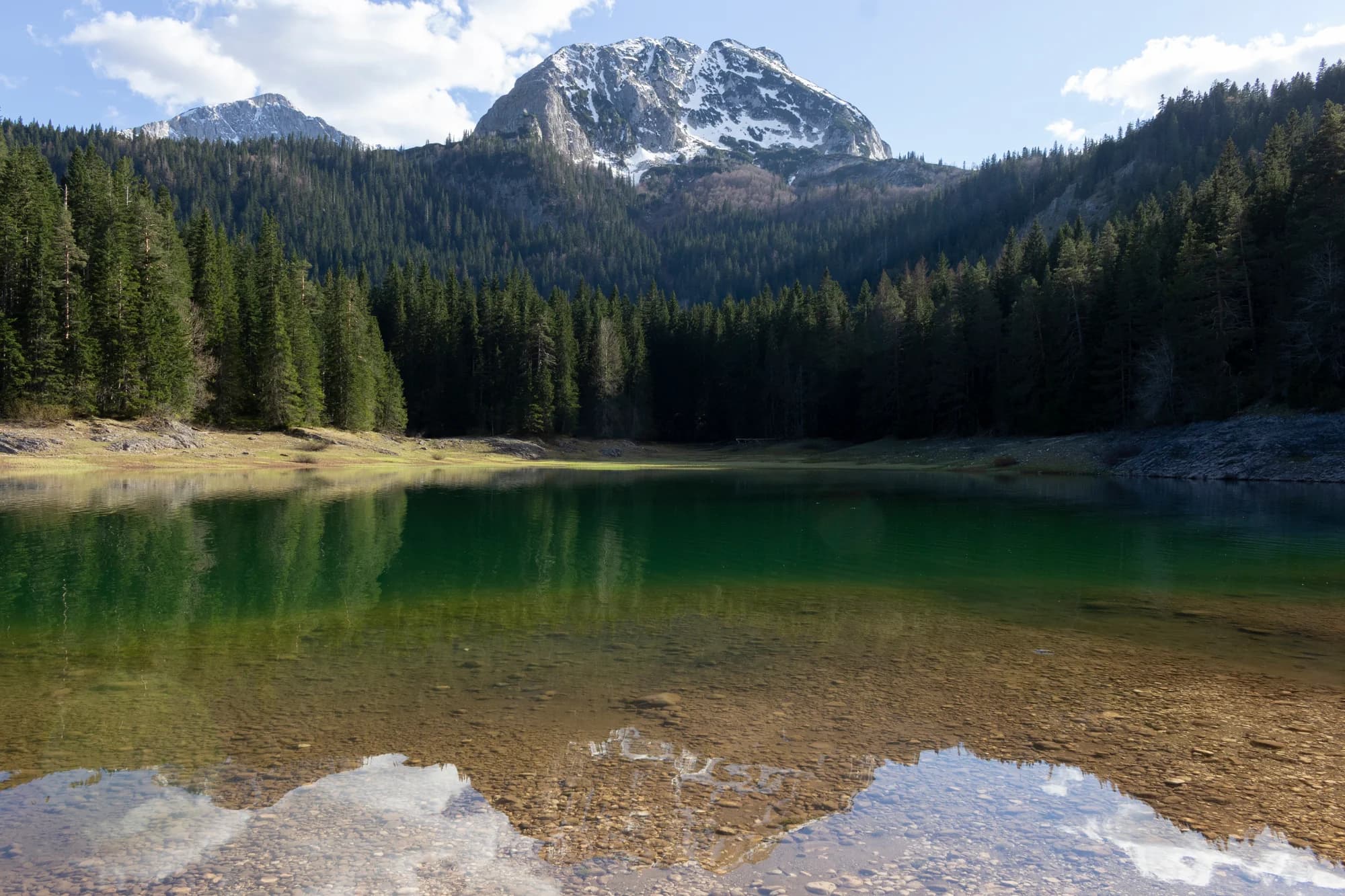
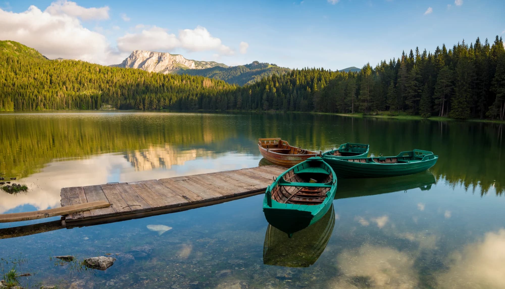
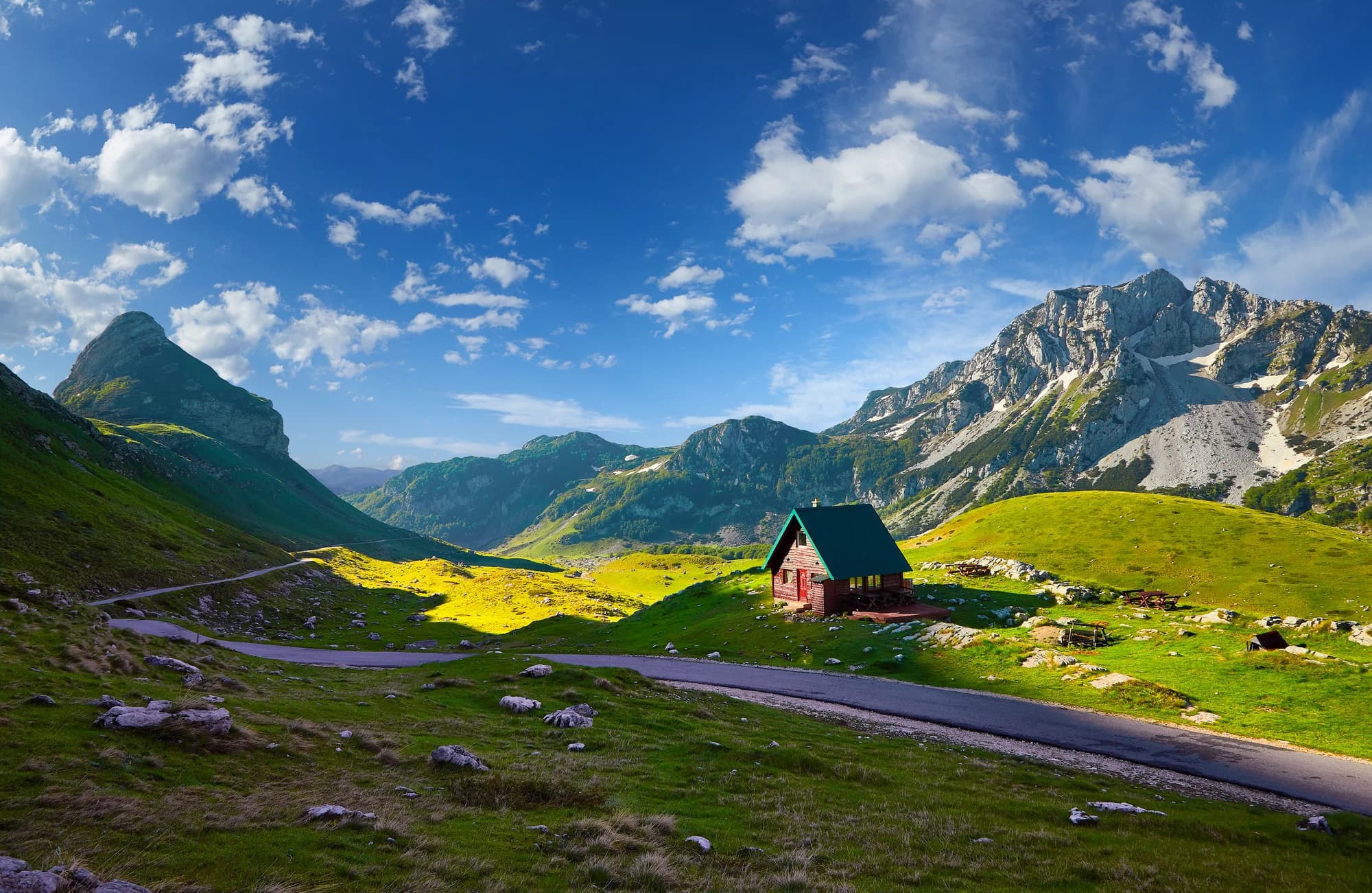
Two rivers end here and a third begins — in a field named for the duke whose title gave Herzegovina its name.
Šćepan Polje sits at the far northwestern corner of Montenegro, at the confluence where the Tara and the Piva meet and become the Drina. The two rivers arrive from opposite kinds of country, the Tara out of Europe's deepest canyon and the Piva from the reservoir behind the Mratinje dam, and the meeting point doubles as the border crossing into Bosnia and Herzegovina. It is less a town than a scatter of camps, bridges and river terraces at the bottom of a very deep valley. This is the main starting point for rafting the Tara. Trips run from half-day descents to multi-day expeditions with overnights in riverside camps, taking boats through rapids beneath walls that rise well over a thousand metres, in a canyon protected within Durmitor National Park and inscribed on the UNESCO World Heritage list. The water is cold and startlingly clear, and the season runs from the spring snowmelt to early autumn. May and June bring the highest, fastest water; July and August are gentler and better suited to families and first-timers. Away from the boats, the valley rewards a walk. On a bluff above the confluence stand the ruins of Soko Grad, a fortress of Herceg Stjepan Vukčić Kosača, the fifteenth-century nobleman whose title gave Herzegovina its name. Tracks climb from the river toward Piva Lake and the Piva Monastery, and the Durmitor high country is within an easy drive to the east. Šćepan Polje suits travellers who came to Montenegro for water and mountains rather than the sea, and it works as well for a single day on the river as for a week of it. Accommodation is mostly camp bungalows and family guesthouses, meals are grilled and generous, and evenings are quiet by design. Bring warm layers even in August: the sun leaves the canyon floor early, and the Tara never really warms up.
Two rivers end, one begins
Length in kilometres
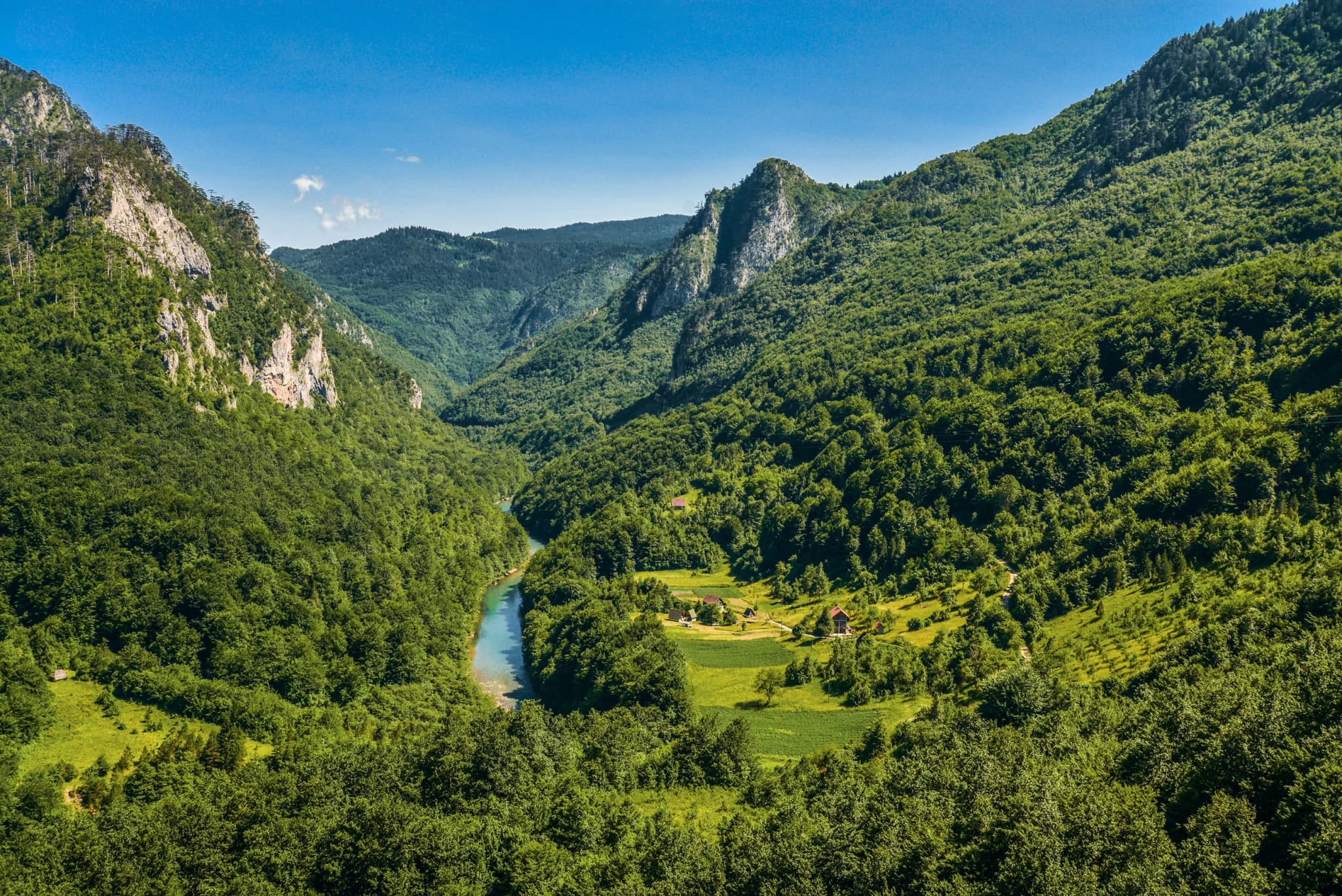
The Drina is nearly twice as long as both its parents together. Everything above Šćepan Polje is headwater — which is why a 57-metre dam ten kilometres downstream, on the Bosnian side, was fought to a standstill in 2005.
Who visits Montenegro
Share of foreign overnight stays, 2025
MONSTAT · 2025
Census population, Šćepan Polje municipality
Plužine municipality has halved in twenty years — 4,272 people in 2003, 2,177 in 2023, and half of that loss came after 2011. Šćepan Polje is not counted on its own: it is a hamlet of Brijeg, the hill settlement at 1,027 m, which last appeared in a published census in 2003 with 91 residents. No figure since then belongs to the confluence itself, so this page prints none.
Soko grad, an hour’s walk above the confluence, was Herceg Stjepan’s principal seat. Widths are to scale.
Wikipedia (sr): Soko grad (Piva), Plužine — the district joined Montenegro after the Congress of Berlin, 1878; Wikipedia (en): Piva, Tara River Canyon.
A day at the confluence
The rafting clock, and a border on the side
Meanwhile, in 2005
The Drina, ten kilometres down — the Buk Bijela dam is abandoned in April 2005 after protests. The proposed 57-metre wall, 93 MW, would have stood about 12 km above Foča, and the plans on the table were to flood a considerable part of the gorge behind it. The project returned in 2018 and lost its environmental permit in May 2019, when a court in Banja Luka ruled on a CEE Bankwatch complaint.
The Tara — the European rafting championships are held in Bosnia and Herzegovina that year, on the Vrbas and the Tara, and again in 2009.
Rome: Pope John Paul II dies on 2 April; over four million people travel to the Vatican.
Kyoto: the protocol enters into force on 16 February, eight years after it was signed.
“Written under Sokol.”
A Kosača charter, 1419
The charter by which Sandalj Hranić Kosača and his brothers ceded their half of Konavle to Dubrovnik records that it was written beneath the fortress — Soko grad’s earliest appearance in a document. Sandalj held it from 1392; Herceg Stjepan followed in 1435 and was styled “of Sokol”.
Search thousands of hotels and apartments with live prices.
We may earn a commission from partner links. This helps us keep Montenegro.com free for travelers.
Search hotels, apartments and guest houses with live availability.
We may earn a commission from partner links. This helps us keep Montenegro.com free for travelers.
At the confluence of the Tara and the Piva in the far north-west of Montenegro, right on the Bosnian border, where the two rivers join to form the Drina. It is about two hours from Niksic on the road through the Piva canyon.
Rafting. Most full-day trips down the Tara canyon finish at Scepan Polje, and the camps clustered around the confluence are where the rafting industry on this river is based. Almost everything here exists to serve it.
April to October. April and May bring the highest, fastest water from snowmelt and are for confident participants; June to September is the family season, with lower water and warmer air. Trips run half-day or full-day with camp accommodation.
The ruins of a 14th-century fortress on the Piva side, the seat of Herzog Stjepan Vukcic Kosaca — the noble whose title gave Herzegovina its name. Little is intact, but the position above the rivers explains why it was built there.
Yes, there is a border crossing at the confluence, on the road towards Foca and Sarajevo. It is a small crossing and can be slow in summer; check opening hours, which are shorter than at the main coastal posts.
The rafting camps themselves — bungalows and tents around the confluence, mostly open only in season and usually sold as part of a rafting package. For a hotel you need Pluzine, about an hour back down the canyon.
No — the nearest is Podgorica Airport (TGD), 143 km away by road.
26.8 km by road, about 41 min by car.
The UK Foreign, Commonwealth & Development Office (FCDO) has no advisory against travel to Montenegro; it last reviewed its guidance on 13 August 2026. That is their assessment of the country as a whole, not ours and not a judgement about Šćepan Polje, so read it yourself before you travel. The emergency number in Montenegro is 112.
AprHigh water — April and May run hardest — the operator’s own phrase is “foamy and boiling rapids”
JunThe optimal window — June to August is what the operators recommend: the safest water level and the fullest camps
SepGentler water — by September the spring high water has dropped — a milder ride, still wild
OctSeason ends — departures are listed all year but run mostly April to October; the camps and the ethno villages close
The local plate
Piva is sheep country. The jezersko-pivska pramenka, a long-tailed landrace kept across Plužine, Žabljak and Šavnik, grazes ground that runs from this confluence at 433 m to Bobotov kuk at 2,522 m. Its milk gives skorup; the skimmed cooked milk left behind becomes prljo, a lean cheese matured 60 to 90 days in a sheepskin mješina. The meat goes under the sač — a cast-iron bell buried in embers — with kačamak or cicvara beside it.
Where The camps serve roast lamb or veal at lunch, €20 on top of the Montenegrin rafting price and inside the Bosnian camp’s day rate; for the plateau version, Pivska Vila at Nedajno, also in Plužine municipality, open May to October
The nearest places to Šćepan Polje, at their true positions — Djurdjevića Tara is about 42 km away in a straight line.
Schematic. Positions and straight-line distances from the coordinates we hold for each place; mountain roads make the drive longer. Coastline and Lake Skadar © OpenStreetMap contributors.
Šćepan Polje in numbers
the Tara and the Piva end here; the Drina runs 346 km from this point to the Sava
the Tara canyon upstream — 82 km long, the deepest in continental Europe
the confluence, and the lowest ground in the Piva region — which tops out on Bobotov kuk at 2,522 m
the year the Ottomans took Soko grad, an hour’s walk uphill from the water
Zagrađe, built by Herceg Stjepan below his own castle
MONSTAT censuses, Plužine municipality · UNESCO Durmitor inscription, 1980 · Wikipedia (en/sr): Drina, Tara River Canyon, Soko grad (Piva), Manastir Zagrađe
A few hours
A confluence, a fifteenth-century monastery and an international border inside ninety minutes.
One full day
€69–85 a head buys the last eighteen kilometres of the Tara; the ruins above it cost nothing.
A weekend
Fifty kilometres of road covers a 220-metre dam, a reservoir 188 m deep and the highest peak in Bosnia and Herzegovina.
Šćepan Polje, the Montenegrin bank
Best for camps at the rafting finish — walking distance from the confluence, the monastery and the border post
The Drina bank, Bosnia and Herzegovina
Best for more camps over the bridge; DMD sits four kilometres downstream of the confluence and lists €70 for 2026 for a day with two meals, from €100 with a night and full board
Plužine, 27 km up the Piva
Best for the municipal town, above a reservoir 188 m deep instead of a river
Foča, 25 km down the Drina
Best for the nearest town of any size, and the way in to Sutjeska National Park 20 km beyond it
Best time: June · July · September
| Place | By road | Driving |
|---|---|---|
| Plužine | 26.8 km | about 41 min |
| Žabljak | 70.9 km | about 1 h 29 min |
| Šavnik | 82.9 km | about 1 h 44 min |
| Nikšić | 83.7 km | about 1 h 58 min |
| Podgorica | 134.3 km | about 2 h 57 min |
| Kotor | 163 km | about 3 h 31 min |
| Budva | 169.3 km | about 3 h 37 min |
Road distances routed over OpenStreetMap data, © OpenStreetMap contributors. Driving times are free-flow and take no account of summer traffic or a queue at the ferry ramp.