Tivat Solila is often presented as a natural refuge that survived the modern coast. The more interesting truth is that it is also an industrial afterlife. Salt production cut banks, channels and pans into a coastal wetland; failed attempts to revive the works left the geometry in place; legal protection later recast the same structures as habitat and cultural landscape.
That sequence matters because conservation here is not the recovery of untouched nature. It is the management of a place where shallow water, human engineering, migratory birds, archaeology, tourism and a fast-changing bay now overlap. The reserve's status is real, but the public evidence also contains stale documents, conflicting boundaries and bird totals that require explanation.

A conservation timeline built on incomplete records
| Period | Evidence | What changed | What remains uncertain |
|---|---|---|---|
| Antiquity | Hellenistic-Roman ceramic fragments | Shows early use of the shore | Does not prove continuous saltmaking |
| Middle Ages–18th century | Archive references summarized by manager | Saltworks became economically important, then production ceased | Annual output and exact operating chronology |
| 1960s | Manager's site history | Revival attempt failed | Comparable production and investment data |
| 2008 | National protection register | Special nature reserve established | Legacy article incorrectly says 2007 |
| 2009 | Manager's protected-area record | Recognized as an Important Bird Area | IBA is not the same as statutory reserve status |
| 2013 | Ramsar Site 2135 | Wetland of international importance | Information sheet still reflects 2013 conditions |
| 2014 onward | Morsko Dobro records | Public enterprise manages reserve and visitor works | Current ecological outcomes are not fully published |
Salt created the geometry birds now use
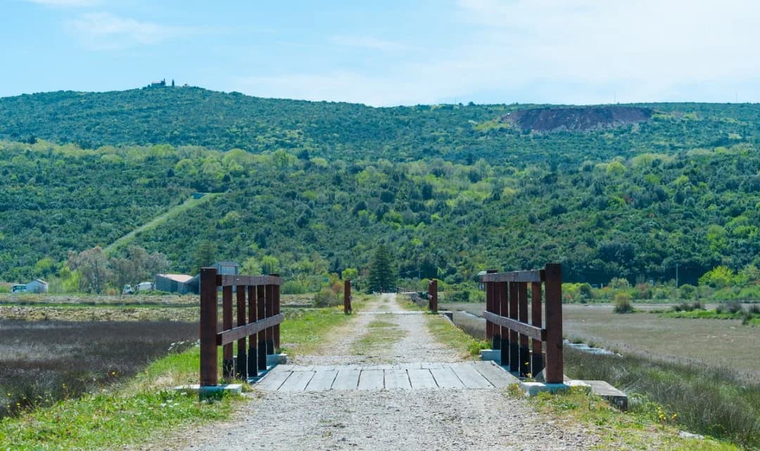
The Ramsar information sheet describes Solila as a centuries-old former saltworks in the coastal strip of Krtoli Bay. Morsko Dobro's historical summary says production was significant in medieval records, ceased in the eighteenth century and resisted a revival attempt in the 1960s. The surviving dykes and channels regulate shallow water and exposed mud—the physical conditions that now support feeding birds.
Archaeological evidence reaches further back. Ramsar records fragments of amphorae and Corinthian skyphoi, including material dated to the sixth century BCE. Those objects show long human use around the shore, but they do not create an unbroken story of salt production from antiquity. The distinction is important: a cultural landscape can be ancient without every visible structure being ancient.

What Ramsar status does—and does not—prove
Ramsar lists Tivat Saline as Site 2135, designated on 30 January 2013 at 150 hectares. The site qualified because of wetland types, scarce salt-adapted vegetation and its value to migratory and wintering birds, including black-tailed godwit, Eurasian curlew, ferruginous duck and pygmy cormorant.
International recognition does not mean the wetland is self-protecting. The same 2013 record named poaching, pollution and tourism pressure as possible threats. It also said a management plan was being prepared. More than a decade later, the public-facing Ramsar information still carries 2013 data. That does not prove management failure, but it weakens public accountability because a visitor cannot use the international record to assess recent water condition, enforcement or population trends.
Two boundaries, several conservation labels
Ramsar publishes a 150-hectare boundary. Morsko Dobro describes the nationally protected special reserve as about 140 hectares. These numbers should not be averaged. International and national designations can use different mapped boundaries, especially where the Ramsar site includes an underwater component.
Solila is also described as an Emerald site and an Important Bird Area, and tourism material places it on a preliminary Natura 2000 list. These labels come from different systems. An IBA identifies ornithological importance; Emerald relates to the Bern Convention network; Natura 2000 would operate through European Union habitat and bird law. BirdLife reported in July 2026 that Montenegro adopted a national proposal containing 58 Sites of Community Importance, but this article does not infer Solila's final EU status from that national announcement.
The practical legal message is simpler. Morsko Dobro says visits for monitoring, education and tourism are permitted only when they do not disturb wildlife or damage habitat. Its 2021 boundary notice says fishing is prohibited in the protected fishing area. Current signs and manager instructions outrank an old travel post.
Bird counts reveal monitoring effort, not simple recovery
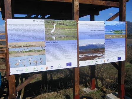
The original article gave 111 recorded species. That matches the 2013 EPA and Ramsar-era inventory. Later tourism material gave 178, a recent cultural-landscape publication gave 114, and the manager now gives 185. A 2025 assessment citing 2023 bird monitoring also says 185 species have been recorded cumulatively, 43 of them on Annex I of the EU Birds Directive.
It would be tempting to chart 111 to 185 as a conservation victory. The evidence does not support that conclusion. Longer observation finds more occasional visitors; taxonomy changes; different publications may include or exclude records according to their purpose. A rising cumulative list can occur while some populations decline. Proper outcome reporting would publish comparable annual effort, abundance, breeding success, water levels and disturbance—not only a growing checklist.
Where public money is visible
Infrastructure notices provide a partial ledger. In 2021, Morsko Dobro reported approximately €9,341 including VAT for a new shaded shelter with benches and a table near Široka River. It separately reported approximately €9,806 for seasonal work on signs, bridge decking, handrails, tower roofs, paths and a steel bridge. Another notice put work on the approach path and roadside lookout at approximately €19,663.
These are useful disclosures because they identify concrete works and amounts. They are not a full conservation budget. Nor do they demonstrate ecological impact. A repaired hide can concentrate visitors away from sensitive areas, but evidence of that benefit would require observation before and after the intervention. Visitor comfort and habitat protection can align; one should not be used as a proxy for the other.
The development contrast around Tivat Bay
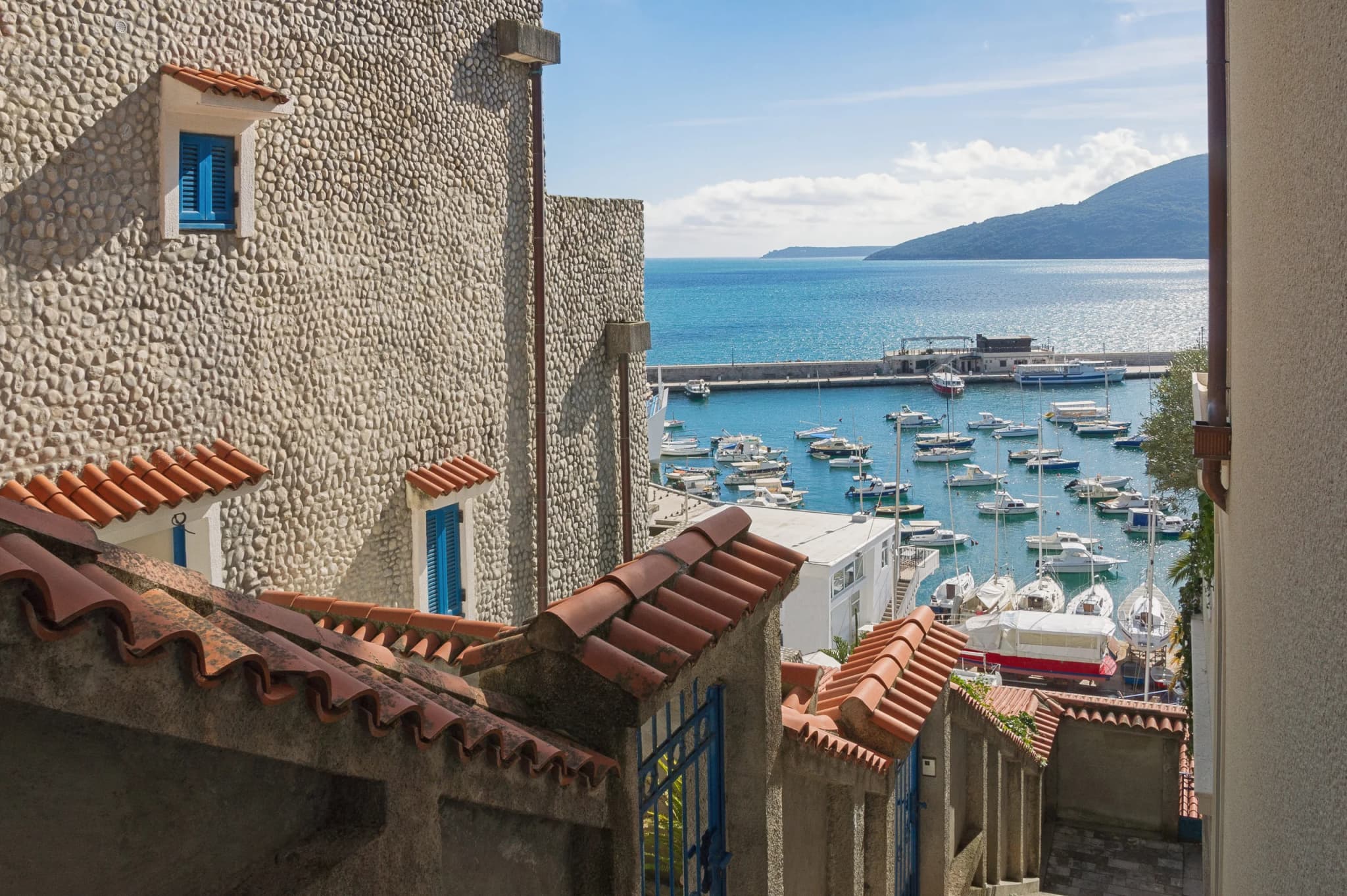
Solila sits in a municipality reshaped by aviation, marina investment, housing and resort development. The city-facing panorama is central to the reserve's meaning: a low wetland occupies valuable coastal space within sight of a destination marketed through yachts and waterfront property. Our complete Tivat guide explains that modern transformation, while the P-821 Heroj submarine story traces another industrial landscape converted for public use.

Conservation does not require pretending that tourism is absent. Tivat's tourism organization promotes free entry, paths, benches, observation towers and a lookout. The challenge is carrying visitors without converting a refuge into an attraction whose success is measured only by footfall. The municipality's wider tourism offer—from Buća Palace and the Great Park to marina excursions—can distribute attention rather than concentrating every visitor in a small reserve.
Practical, low-impact visit
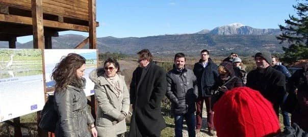
Use the official entrance and marked paths. Bring binoculars, water, sun protection and closed shoes; keep voices and phone alerts low. Do not enter salt pans, banks or reed edges for a closer photograph. The BTO birders' code advises staying on paths and never using playback during breeding season. If a bird changes behavior because of your approach, increase distance.
Apply the same low-impact discipline beyond the wetland. Our Montenegro hiking guide explains how season, terrain and protected-area rules should shape an outdoor plan; Solila simply concentrates those responsibilities into a smaller and more disturbance-sensitive space.
The tourism organization describes entry as free, two observation towers and a roadside viewpoint, but does not show a clearly current daily schedule. Verify access with the manager and read site notices. For an overnight base, compare areas in our where-to-stay Tivat guide. The winter hotel overview helps with off-season geography, though all property details require fresh confirmation.

What better accountability would look like
A high-quality public dashboard would separate cumulative species records from annual monitoring. It would publish survey dates and effort, water and salinity measures, breeding indicators, disturbance incidents, enforcement, visitor counts, infrastructure spending and current management actions. Sensitive nest locations could remain confidential.
It would also reconcile the 140- and 150-hectare boundaries with maps, update the Ramsar information sheet, and explain how national protection interacts with Emerald, IBA and Natura 2000 processes. These are not cosmetic requests. Clear baselines let residents, scientists and managers distinguish genuine improvement from a longer list of labels.
Frequently asked questions
Was Tivat Solila always a natural wetland?
It is a coastal wetland modified by centuries of salt-production infrastructure. Dykes, channels and pans are cultural features that now help create shallow-water habitat. Calling it purely industrial or purely untouched nature would miss the interaction.
When did Solila become protected?
National special-reserve protection dates to 2008. Important Bird Area recognition followed in 2009, Ramsar designation in 2013 and Morsko Dobro management in 2014. These milestones have different legal and scientific roles.
Does a higher species total prove the reserve recovered?
No. The cumulative list rose from a published 111 to a current manager claim of 185, but longer surveys and different methods can add records without showing population growth. Comparable abundance and habitat-condition data would be needed.
Can visitors walk through the reserve?
Official tourism material describes marked walking and cycling paths, benches, two towers and a lookout. Visitors must avoid disturbing wildlife and habitat, follow current signs and confirm access. Fishing is prohibited within the protected fishing area.
Sources and methodology
The protection chronology, boundary and ecological rationale were reconstructed from the Ramsar information sheet, the Environmental Protection Agency and Morsko Dobro's reserve account. Infrastructure figures come from three dated manager notices; they are not presented as total conservation spending.
Species totals were retained with their publication context instead of merged. Visitor information came from Tivat's tourism organization. National 2026 Natura 2000 context came from BirdLife, without assuming a final site-specific outcome. Where the public record lacks a current management plan, monitoring series or ecological evaluation, the gap is stated rather than filled by inference.