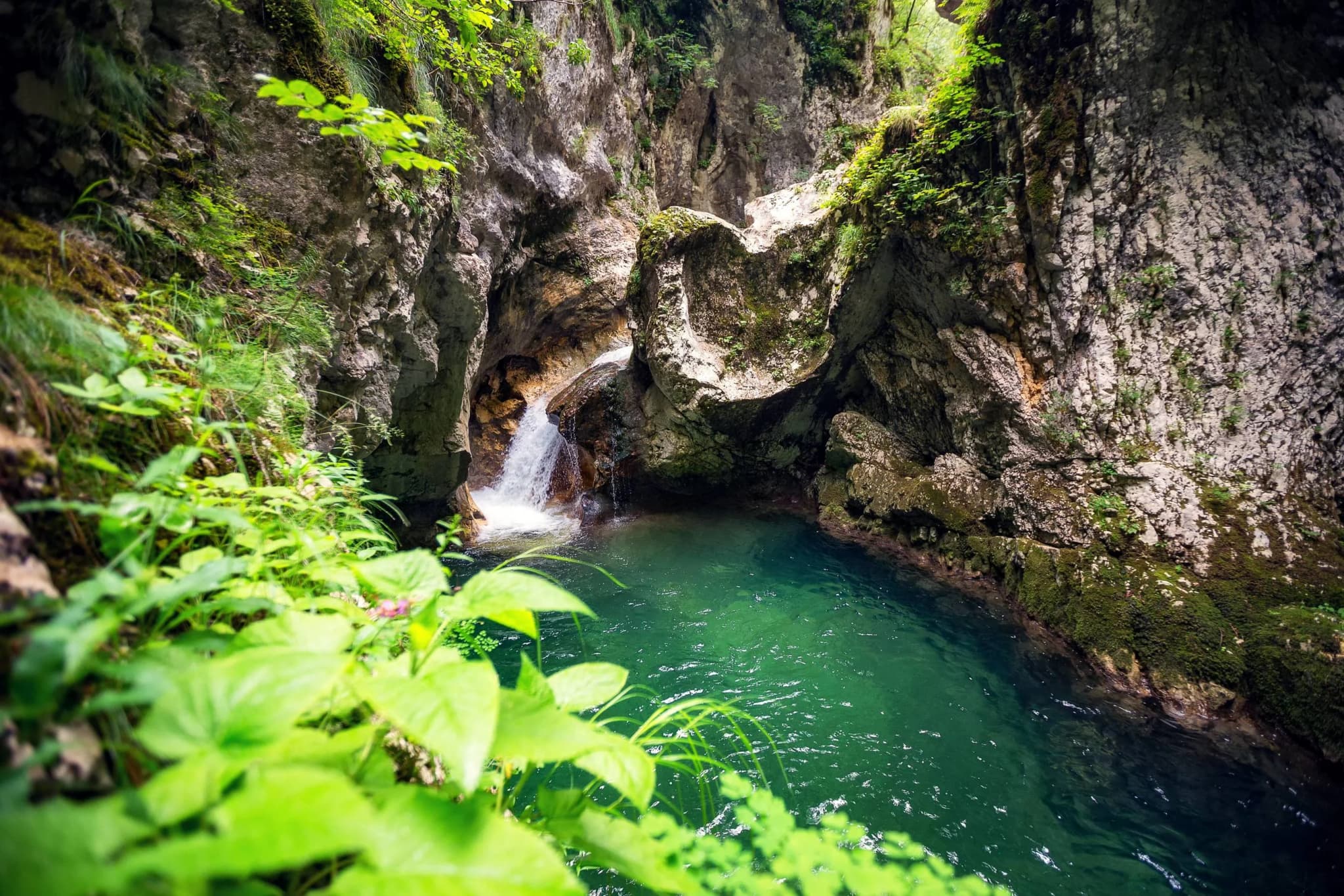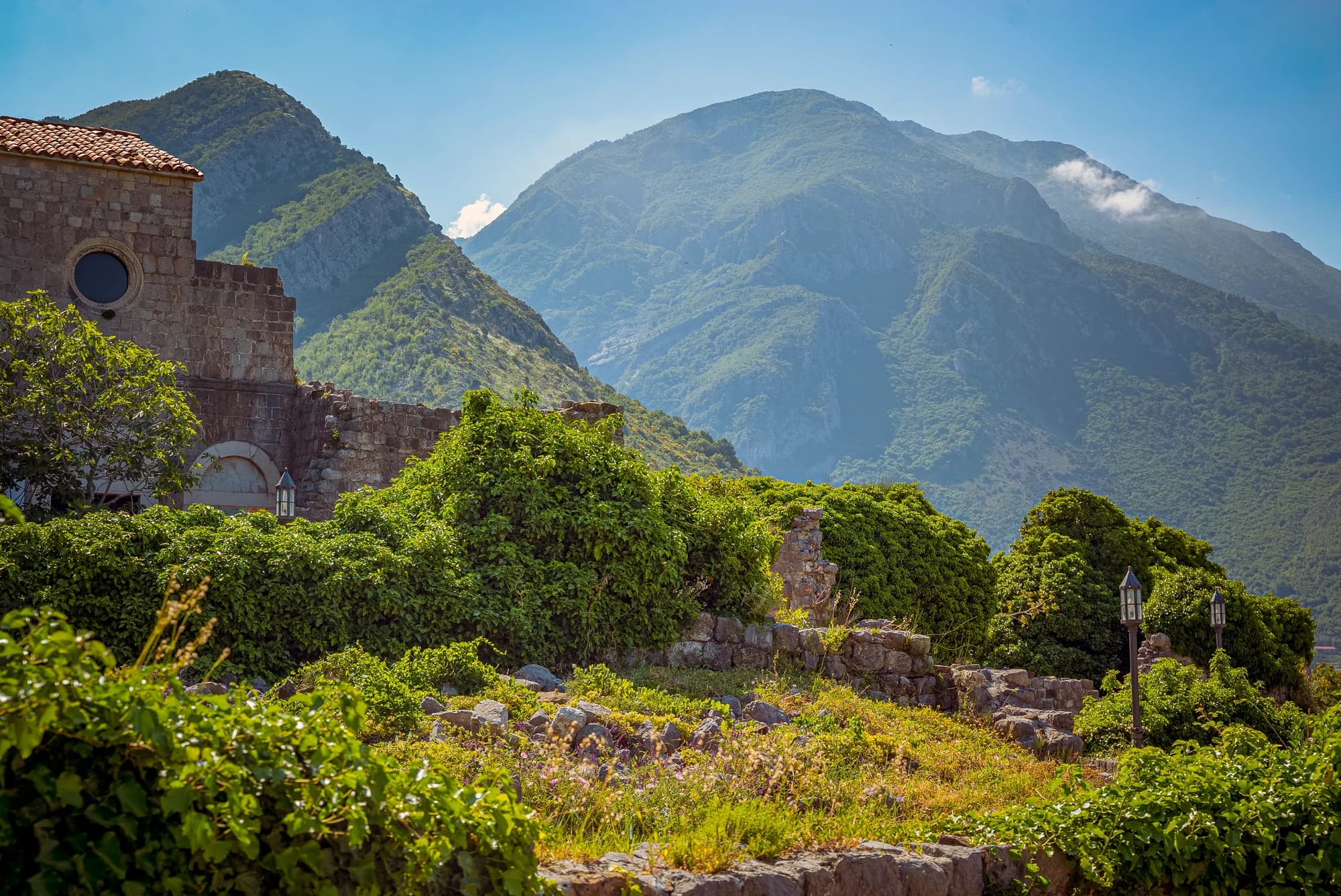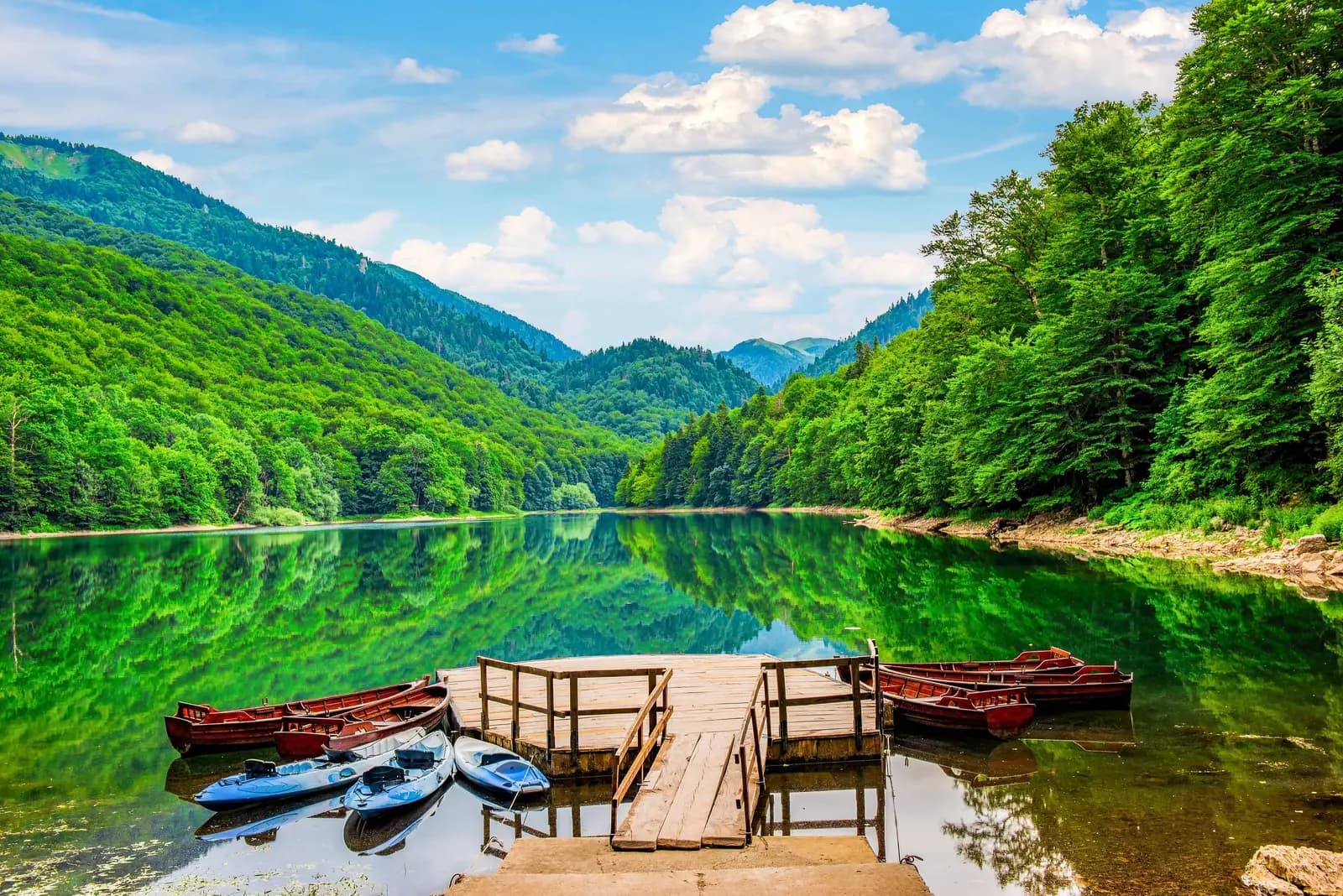
Biogradsko Jezero is the welcoming front door to a much larger mountain. At the lake, a short forest circuit, visitor centre and seasonal boat rentals make an easy day in nature. Above it, Biogradska Gora National Park rises across Bjelasica into open pasture, glacial basins and long routes where weather, navigation and an early start matter. Treating those experiences as interchangeable is the fastest way to arrive underprepared.
This guide separates the lake visit from the high country, corrects the park's protection and UNESCO status, and uses the current 2026–2030 management plan rather than inherited superlatives. Check the National Parks of Montenegro noticeboard on the day you travel: the gate can close for snow, ice, storms or safety work even when a generic map says the road is open.
Biogradska Gora at a glance
| Plan | What it includes | Preparation |
|---|---|---|
| Lake introduction | Visitor centre and part of the shore | Ordinary walking shoes; confirm gate status |
| Lake circuit | Official 3.3 km educational trail with six stations | Grippy footwear after rain; allow unhurried stops |
| Bendovac outing | Forest ascent toward the best-known overview of lake and reserve | Current route advice, water, layers and enough daylight |
| High Bjelasica | Glacial lakes, katuns, CT-1/E6 sections or Crna Glava | Mountain navigation, forecast check and conservative turnaround time |
| Overnight stay | Seasonal lake camping or privately run katun lodging | Reserve and verify facilities; do not assume wild camping is permitted |
What the park protects—and what it does not claim
What the sources say
Biogradska Gora became a national park on 20 August 1952. The legal-status table in the current management plan records 5,650 hectares and a 1,600-hectare primeval-forest reserve under the strictest protection. The same plan later prints 5,620 hectares for the area it covers, while a 2025 UNESCO Tentative List submission uses larger revised-study figures. That internal inconsistency and the different proposed boundary mean the totals should be labelled by document, not blended into one supposedly exact statistic.
The longer protection story begins in the nineteenth century. National tourism and UNESCO materials trace protection to 1878 and the tradition of a royal forest associated with Prince Nikola. That makes the site an early protected landscape, but it was not a modern national park in 1878. The legal national-park designation came in 1952—an important distinction between a historical conservation act and today's protected-area category.
Biogradska Gora is also often marketed as “one of the last three primeval forests in Europe.” The forest is unquestionably rare, but no authoritative Europe-wide inventory fixes the surviving total at three. A more defensible description is one of Europe's remaining old-growth or primeval forest reserves.
How a primeval forest actually works
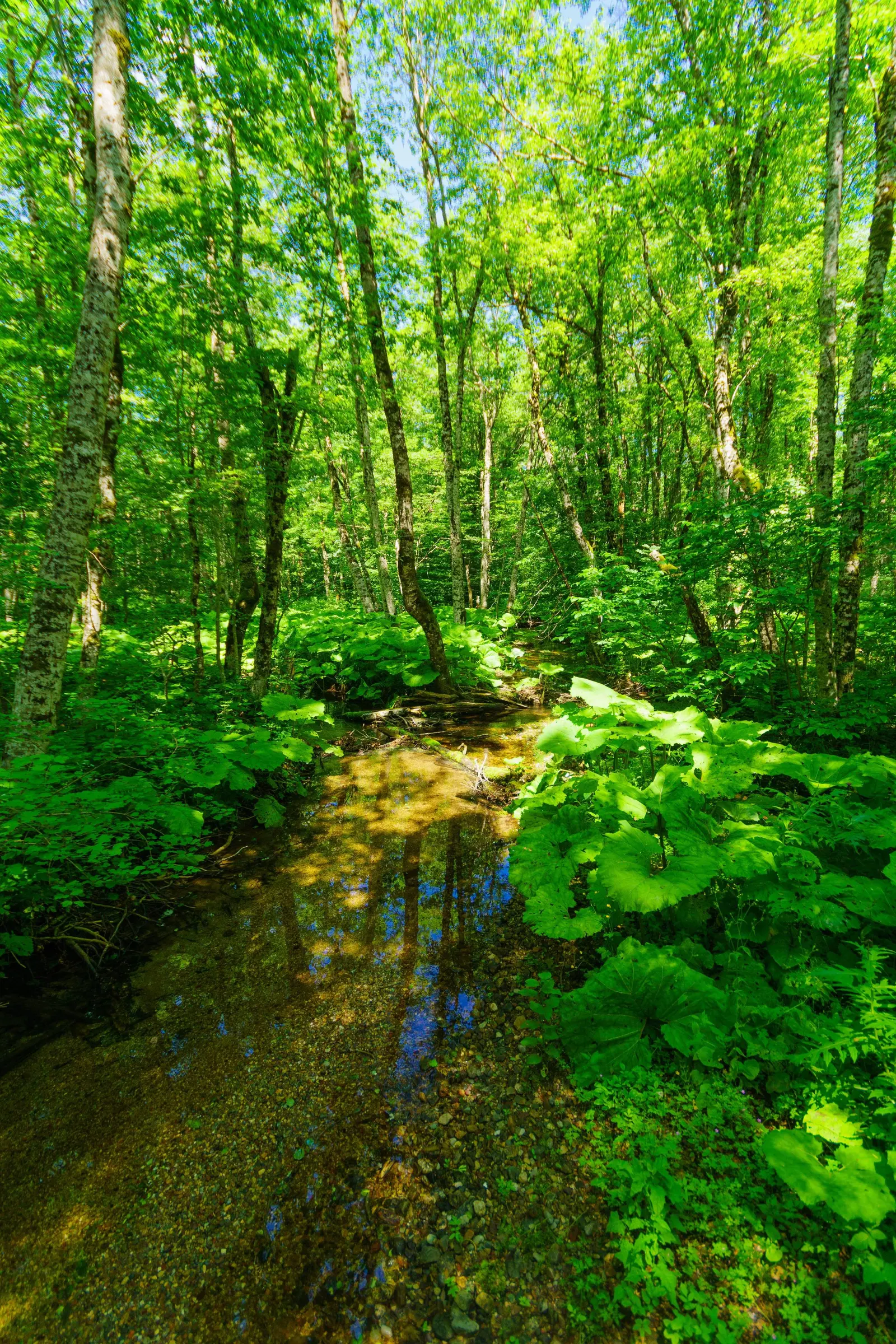
“Primeval” does not mean every tree is ancient or that people have never entered the basin. It describes a forest whose composition, regeneration and disturbance are governed mainly by natural processes. A storm opens a canopy gap; light reaches seedlings; fungi and insects break down fallen wood; nutrients return to soil; a mixed-age stand develops without a timber rotation. The current management plan therefore treats dead wood, standing damaged trees, canopy openings and natural regeneration as evidence to monitor, not defects to erase.
The park is not one uniform beech wood. Its reserve holds different forest communities shaped by elevation, moisture, slope and substrate. Beech dominates broad areas, while fir, spruce, maple, ash and alder appear in different combinations. Higher Bjelasica adds subalpine shrub, grassland, rock and wet habitats. This vertical sequence is why the lake walk and summit day reveal different ecosystems even though their trailheads may share the same map.
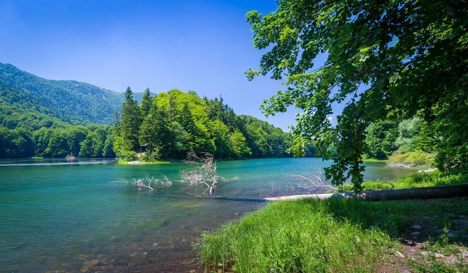
Biogradsko Lake and its inflowing and outflowing waters also form a dynamic system. The current plan gives a water surface of roughly 250,000 square metres depending on conditions and a maximum depth of 12.1 metres. The Biogradska River brings water and sediment; Jezerštica drains the lake toward the Tara. Managers identify erosion, sedimentation and openings through which water can be lost as long-term concerns. Low water or an exposed shore is therefore not merely a photographic inconvenience—it belongs to an active conservation problem.
Species lists should be read with the same care. The plan documents habitat for amphibians, bats, forest birds and large mammals, but presence does not guarantee a sighting. A particularly concrete monitoring story is the maternity colony of lesser horseshoe bats at Kraljevo Kolo. The building is in poor condition, so the plan proposes adaptation that protects the colony while eventually supporting interpretation. Responsible wildlife travel often means accepting that the animals remain unseen and undisturbed.
UNESCO status: candidate, not inscribed property
Biogradska Gora is not currently a World Heritage property. Montenegro placed the national park on its Tentative List in 2010. In 2025 it submitted the primeval forest reserve as a proposed extension to UNESCO's transnational property “Ancient and Primeval Beech Forests of the Carpathians and Other Regions of Europe.” UNESCO's current page still labels that proposal a Tentative List entry. Tentative status is a nomination pathway, not inscription.
The park does sit within the wider Tara River Basin Biosphere Reserve framework. A biosphere reserve and a World Heritage property are different UNESCO programmes, with different purposes and boundaries. Travellers should resist compressing “national park,” “biosphere reserve” and “World Heritage candidate” into one badge.
| Level | Where | Detail |
|---|---|---|
| Biogradsko Lake | 1,094 m · 3.3 km circuit | Lake circuit |
| Forest to katun | longer marked routes | Forest to katun |
| Glacial basins | exposed high country | Crna Glava · 2,139 m |
Source: nparkovi.me, whc.unesco.org
A good first visit: Biogradsko Lake
The main approach leaves the Kolašin–Mojkovac road at Kraljevo Kolo. The current plan describes roughly 3 km of asphalt from that entry to the lake. This road passes through the strict-protection zone, so drive slowly, obey staff instructions and use only designated parking. Do not follow an unverified shortcut into a katun from a mapping app.
Public transport along the main corridor does not guarantee a connection from the highway turnoff to the lake. If travelling without a car, arrange both outward and return transport before departure, confirm where the driver can legally stop, and keep enough time for a missed connection. Do not rely on an old taxi fare or assume a vehicle will be waiting at the gate.
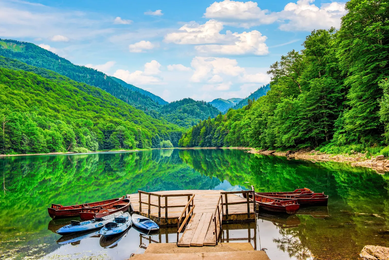
At 1,094 metres, Biogradsko Lake is the practical orientation point: visitor centre, educational trail, seasonal camping zone and watercraft storage are concentrated here. The official lake circuit is 3.3 km with six interpretive stations. It is the sensible choice for families and first-time visitors, but roots, mud and wet timber can still be slippery. A stroller, wheelchair or limited-mobility visit should be discussed with park staff first; the management plan itself identifies accessibility improvements still needed at visitor facilities.
Walk quietly and look at structure rather than chasing a wildlife checklist. Beech, fir, spruce, maple, ash and alder communities respond differently to elevation, soil and water. Amphibians depend on the lake edge, streams and seasonal wet places. Woodpeckers, owls, bats and decomposer species benefit from old trees and dead wood. Bears and wolves occur in the wider ecosystem, but a crowded shoreline is not a reliable wildlife-viewing hide.
Beyond the lake: Bendovac, glacial lakes and Crna Glava
Bendovac is the best-known viewpoint over the lake basin and reserve. The park plan names the themed “Summer in the Katun” trail toward Bendovac, but conditions, signing and access can change. Ask the visitor centre for the current start, distance and return option before setting out. The Durmitor spring-thaw guide explains why a mountain that looks green from below may still hold winter hazards higher up.
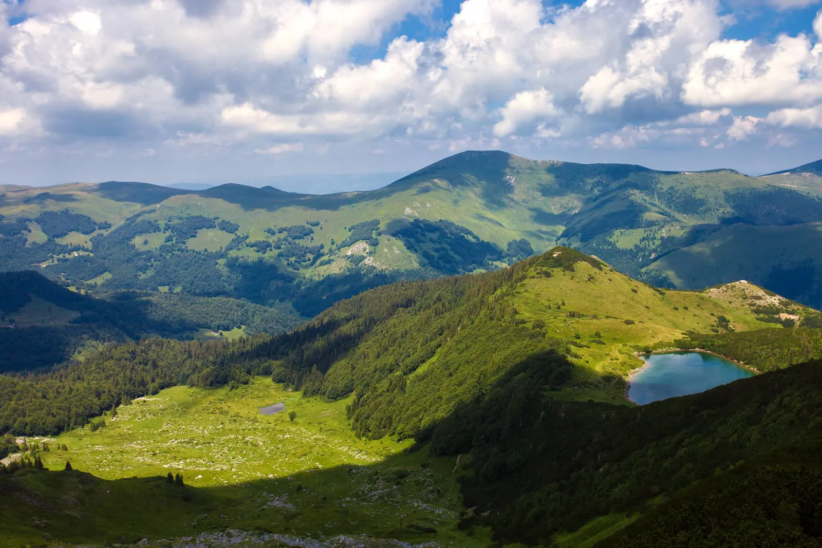
The upper park contains Pešića, Šiško, Ševarine, Veliko Ursulovačko and Malo Ursulovačko lakes. The official plan also traces the CT-1 “Mountains of Montenegro” route, part of E6, through Vranjak, below Troglava and Zekova Glava, past the Biogradska River source, over Crna Glava and toward Svatovsko Groblje. That is a network description, not a recommendation to link every point in one day.
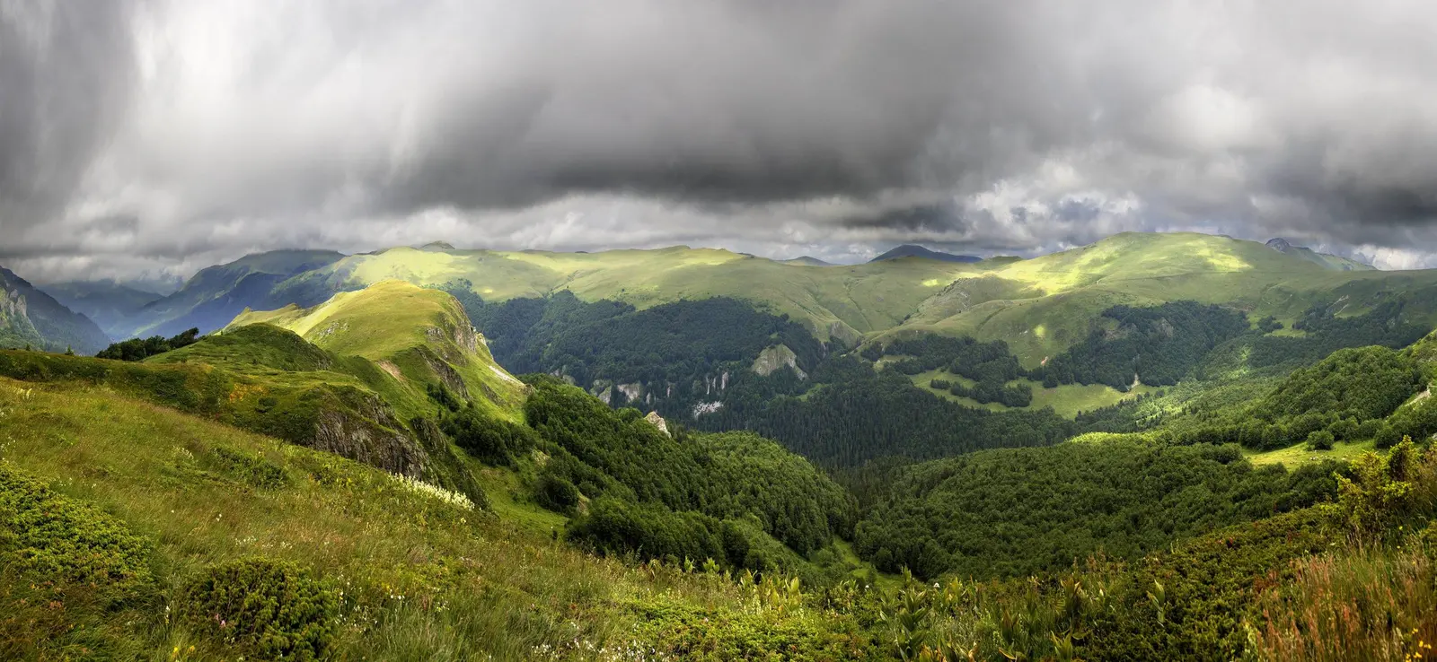
For a summit or multi-lake outing, use a current topographic map or verified GPX track, download it offline, carry rain protection and warm layers, and set a turnaround time. Cloud can erase the visual logic of Bjelasica's rounded ridges. Mobile coverage is imperfect. If you do not already navigate confidently in poor visibility, book a park guide or qualified local mountain guide. The broader Montenegro hiking guide explains equipment and route grading across the country.
Build a one-day or two-day itinerary
For a half day, stay at the lake. Begin at the visitor centre, walk the full educational circuit if the surface suits your group, and add a boat only if staff and weather permit. This plan preserves time for interpretation and avoids turning a forest visit into a race. It also works as one northern stop in a seven-day Montenegro itinerary, provided the driving day is not already overloaded.
For a full day, choose either a viewpoint ascent or a longer high-country objective after checking the route locally. Do not assume that the lake circuit, Bendovac and an upper glacial lake all fit comfortably together. The correct combination depends on fitness, daylight, trail condition and whether transport waits at the same exit. Keep a lake-only fallback for cloud or storms.
For two days, use the first to understand the lake and reserve, then devote the second to Bjelasica with a guide or a route you can navigate independently. Stay in Kolašin, Mojkovac or a confirmed katun property. The Kolašin accommodation guide distinguishes town-centre convenience from mountain access; verify check-in and transport before leaving mobile coverage.
Busy summer weekends change the experience even when the ecology does not. Arrive early enough to avoid rushing, but do not invent a gate time from an old blog. The Montenegro high-season guide helps decide when reservations and extra driving margin matter. In every season, build the day around an official opening notice rather than a cached business listing.
Practical planning: opening status, tickets and seasonal services
The park does not have a trustworthy year-round opening date. In 2026, it closed on 9 January because of snow and ice, then the manager announced reopening on 16 March—earlier than usual because conditions were favourable. That sequence is the useful fact: access follows conditions, not a permanent calendar.
The current official price list shows a €4 day ticket, including the visitor centre and educational trails, and a €13.50 annual ticket covering all five national parks for the calendar year. It also lists boat, kayak, bicycle, guide, camping and fishing charges. Prices do not prove that equipment, guides or camping facilities are available on a particular day; reserve or confirm directly.
| Item | Published charge | Important limit |
|---|---|---|
| Day entry | €4 per person | Check current opening notice |
| All-parks annual ticket | €13.50 per person | Valid in the stated calendar year |
| Wooden boat | €10 per hour | Seasonal availability |
| Single / double kayak | €3 / €5 per hour | Weather and equipment dependent |
| Park guide | €40 for 4 hours; €80 for 8 | Arrange ahead |
| Camping space / arranged camping area | €3 / €20 per day | Confirm which facilities are operating |
A familiar hotel name or an old bungalow photograph is not evidence of current accommodation. Verify that the property is operating, that your booking has a reachable host and that return transport is settled before building the day around it. International travel coverage has promoted Montenegro's mountains for years; the world-press review helps separate durable landscape appeal from individual claims that still need a current local check.
Safety and low-impact behaviour
Tell someone your route and expected return, carry water and food beyond the lake, and keep an offline map. For an emergency anywhere in Montenegro, call 112. The Ministry of the Interior says the service operates continuously and can coordinate mountain rescue. Give your coordinates, route, last known landmark, group condition and remaining battery; do not continue moving unless the dispatcher tells you to.
Inside the strict reserve, remain on marked visitor routes. Do not collect flowers, mushrooms, insects, wood or archaeological material; do not feed animals; keep noise low; and pack out every item. A fallen trunk may support fungi, beetles, birds and regeneration. Open fires belong only in explicitly designated places and require current permission or the listed fee. A paid entry ticket is not permission to camp or light a fire anywhere.
Photography without damaging the subject
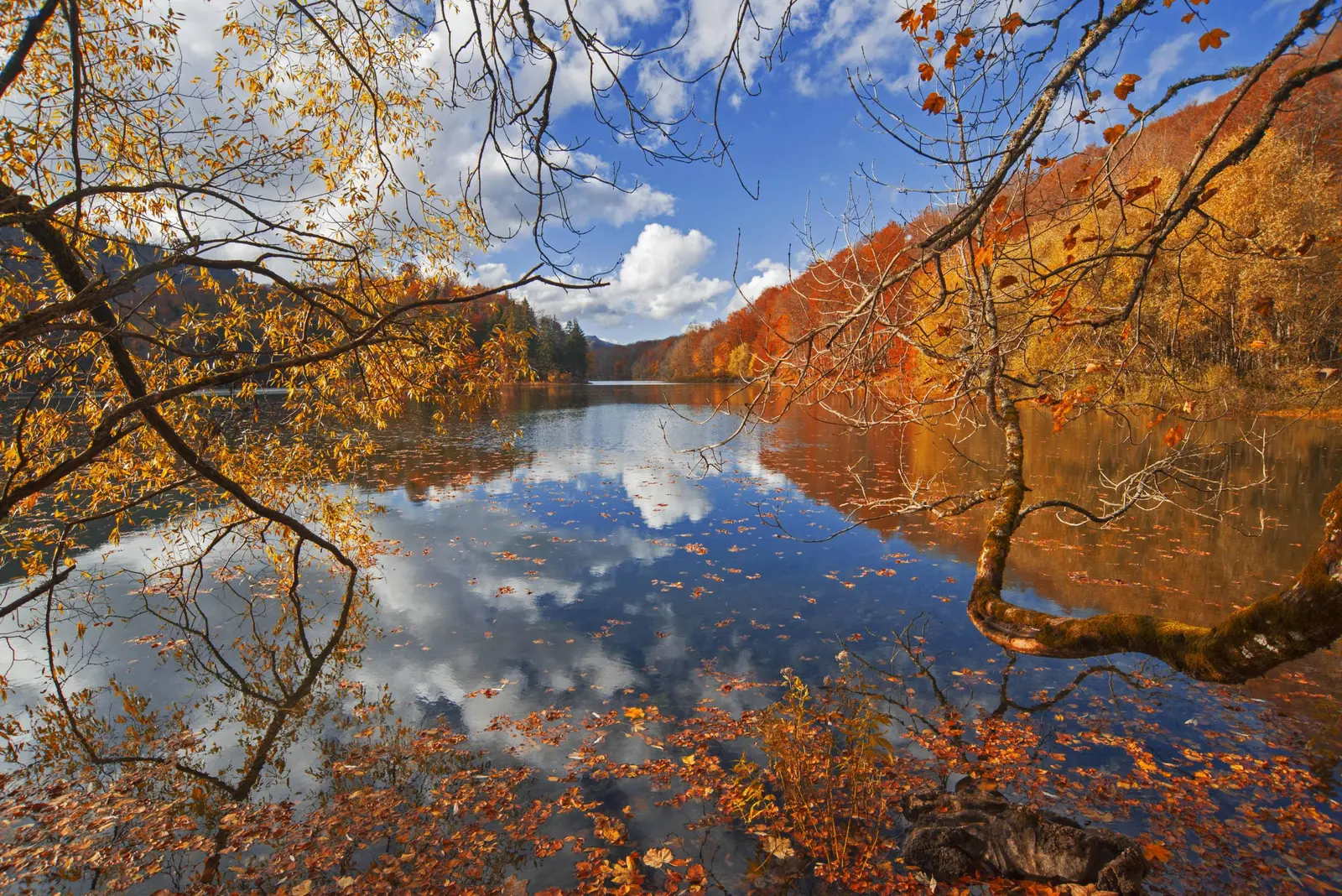
The familiar reflection photograph depends on wind, light, water level and where the shore trail is open. Do not step into soft margins, move dead branches or create a new viewpoint because the lake is not mirror-still. A polarising filter can reduce glare, but it can also remove the reflection you came to photograph. More importantly, no image justifies trampling shoreline vegetation or delaying other visitors on a narrow boardwalk.
Drones and commercial shoots are regulated activities, not an automatic extension of an entry ticket. The national-park manager requires prior approval for commercial filming and publishes separate charges. Recreational pilots must also satisfy national aviation rules and any local restriction. Ask first; wildlife disturbance and strict-zone protection matter even when a device is technically capable of taking off.
For forest photographs, use existing paths and let fallen wood remain exactly where it is. In the high country, keep enough battery for navigation and emergency communication instead of spending it all on video. Share sensitive wildlife and nesting locations cautiously. A responsible image should document the landscape without teaching the next visitor how to leave the trail.
Katuns are a living landscape, not park decoration
Seasonal pastoral settlements ring the forest and high pastures. The current plan names Vranjak, Goleš, Dolovi Lalevića, Suvodo, Šiška and other katuns as part of the cultural landscape. Huts, livestock paths, hay meadows and place names document working relationships between villages and mountain pasture. Some accommodation is privately operated; the park does not guarantee every katun bed or meal.
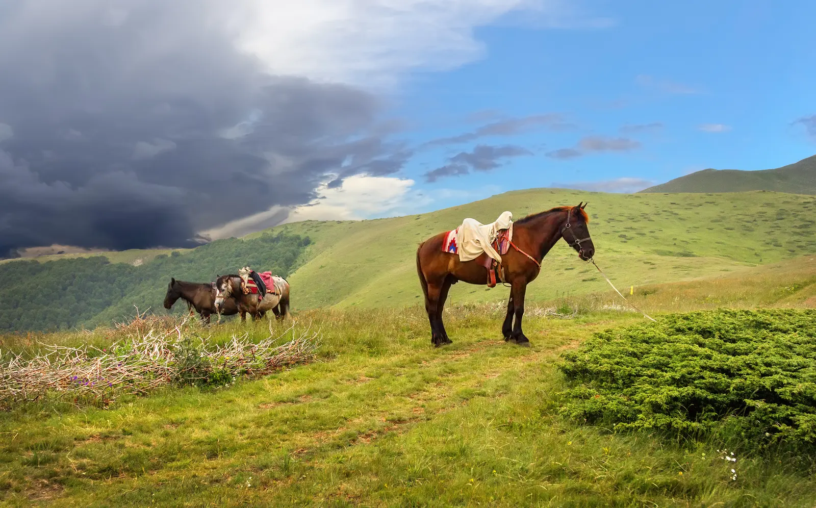
Ask before photographing people, homes or livestock. Close gates, give animals room and buy food or lodging directly when offered. Horse riding is part of the wider visitor economy, but animal welfare, route permission and guide competence still need checking. Wider travel writing often turns the park into a symbol of an “undiscovered” country; the working katun landscape is a reminder that beautiful places are already known, used and cared for by local communities.
When Biogradska Gora is not the right park
Choose Biogradska Gora for an old-growth forest and mountain-lake transition. Choose Lake Plav and Ali Pasha Springs for a valley-and-springs landscape at the foot of Prokletije. Choose Orjen when karst, exposed coastal-mountain terrain and a very different water story are the priority. None substitutes for the others, and all require current weather and access checks. A focused visit is better than collecting mountain names as hurried photo stops.
Frequently asked questions
Can I visit Biogradska Gora in winter?
Only when the park manager says access is open and your activity matches the conditions. Snow and ice can close the gate. Snowshoe or ski travel in the upper park requires winter mountain skills, avalanche awareness where relevant and a current route assessment.
How long is the walk around Biogradsko Lake?
The current management plan records a 3.3 km educational circuit with six stations. Time varies with stops, mud, children and mobility; do not rely on a universal completion time.
Is Biogradska Gora a UNESCO World Heritage Site?
No. The primeval forest reserve is on UNESCO's Tentative List as a proposed extension to an existing transnational beech-forest property. The wider area also relates to the Tara River Basin Biosphere Reserve, a separate UNESCO programme.
Can I swim or rent a boat?
The management plan provides for swimming and rowing at the main recreational lake locality, and the price list publishes boat and kayak fees. Ask staff about current water conditions, operating hours and equipment before entering the water.
Can I camp beside the lake?
The plan identifies a seasonal tent zone near the lake and notes limited infrastructure. Use only the designated area, pay the applicable charge and confirm toilets, water, fire rules and capacity in advance.
Is Crna Glava suitable for beginners?
Not as an unsupervised extension of the lake walk. At 2,139 metres it requires a real mountain plan, navigation, suitable conditions and enough daylight. Beginners should use a qualified guide.