Orjen: Montenegro's Highest Coastal Mountain and Europe's Wettest Spot
Mount Orjen rises 1,894 metres above the Bay of Kotor as Montenegro's highest coastal peak, with Europe's wettest weather station, ice caves, and pristine wilderness hiking.
Updated Originally published 19 min readby Montenegro.com Editorial Team
Orjen: The Highest Coastal Mountain and Wettest Place in Europe
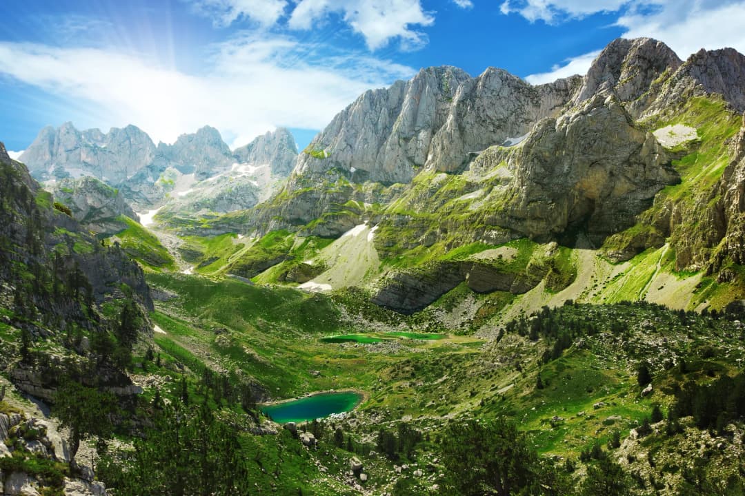
Mount Orjen (1,894 metres) is the highest peak in the coastal mountains of Montenegro, towering above the Bay of Kotor and the Adriatic Sea. This massive limestone massif straddles the border between Montenegro, Bosnia and Herzegovina, and Croatia, creating a dramatic natural barrier between the Mediterranean coast and the continental interior. For hikers, naturalists, and anyone drawn to wild, untamed mountain landscapes, Orjen is one of Montenegro's most rewarding and least-visited destinations.
Orjen holds a remarkable meteorological record: the village of Crkvice on its slopes receives an average of approximately 4,600 millimetres of precipitation per year, making it the wettest inhabited place in Europe. This extraordinary rainfall — nearly five times the London average — feeds lush forests on the lower slopes, alpine meadows higher up, and a labyrinth of underground rivers and caves within the mountain's limestone heart. In winter, Orjen receives enormous snowfall, and snow patches can survive on the summit ridges well into July.
Despite its proximity to the popular tourist centres of Herceg Novi and the Bay of Kotor — the trailheads are less than 30 minutes from the coast — Orjen sees remarkably few visitors. There are no cable cars, no mountain huts with hot meals, and no marked adventure parks. What you will find is genuine wilderness: ancient beech forests, high-altitude karst plateaus, endemic wildflowers, and views that stretch from the Adriatic to the mountains of Bosnia. For experienced hikers willing to carry their own supplies, Orjen offers an adventure that ranks alongside anything in Durmitor or Prokletije.
How to Get There
Orjen rises directly behind the coastal town of Herceg Novi, making it one of the most accessible mountains in Montenegro despite its wild character. The main trailheads are reached from two directions: from the coast (Herceg Novi side) and from the inland plateau (Crkvice/Grahovo side).
From Herceg Novi, the mountain road toward Crkvice climbs steeply from the coast, passing through the villages of Kameno, Žlijebi, and Vrbanj. The road is paved but narrow and winding, requiring careful driving. Allow about 40 minutes from Herceg Novi centre to reach the upper trailheads near Vrbanj (approximately 1,000 metres elevation). Beyond Vrbanj, the road continues toward the abandoned village of Crkvice (the famous weather station site), but this section can be rough and may require a four-wheel-drive vehicle.
From the inland side, Orjen can be approached from the Grahovo plateau or from Trebinje in Bosnia. The road from Grahovo toward the mountain is partially unpaved and less frequently used but offers a different perspective on the massif.
The nearest airport is Tivat (TIV), about 40 kilometres from Herceg Novi. Dubrovnik Airport (DBV) in Croatia is approximately 30 kilometres away — actually closer than Tivat, though the border crossing adds time. Podgorica Airport (TGD) is about 120 kilometres distant.
There is no public transport to the Orjen trailheads. A rental car is essential, and parking is available at several informal pull-offs near the upper villages. Some hiking groups arrange taxi drops at the trailheads.
Best Time to Visit
The hiking season on Orjen runs from June through October, with the optimal months being July through September. The mountain's extreme precipitation means that weather conditions can change rapidly at any time of year, and the summit ridge can be cloud-covered even on days that are sunny on the coast below.
Snow typically covers the higher elevations from November through May, and significant snow patches can persist on north-facing slopes into July. The annual snowfall at Crkvice can exceed 5 metres, and drifts in sheltered hollows can be much deeper. Winter ascents of Orjen are serious mountaineering undertakings requiring full alpine equipment.
Late June and July offer the best combination of accessible trails and wildflower displays. The alpine meadows above 1,500 metres burst into colour during this period, with endemic species including the Orjen iris (Iris orjenii), which grows only on this mountain. August and September bring the most stable weather, though afternoon thunderstorms are always possible in the mountains.
Spring (May-June) is exciting but unpredictable. The lower forests are green and beautiful, but the upper slopes may still be snow-covered, and routes can be obscured by lingering drifts. Always check conditions locally before attempting summit routes in early season.
Top Things to See and Do
Summit Hike to Zubački Kabao (1,894m)
The highest point of the Orjen massif is Zubački Kabao, reaching 1,894 metres. The most common route starts from the village of Vrbanj (approximately 1,000 metres) and follows a marked trail through beech forest, then across open karst terrain to the summit ridge. The ascent takes approximately 4-5 hours, with a similar time for the descent. The terrain on the upper mountain is rocky and exposed, with sections of scrambling near the summit. Navigation can be challenging in mist, as the karst plateau above the treeline is featureless and disorienting. Carry a GPS device, adequate food and water, and be prepared to turn back if weather deteriorates. The summit panorama on a clear day is extraordinary — the entire Bay of Kotor is visible below, along with the Adriatic coastline, the islands of Croatia, and the mountains of Bosnia stretching to the horizon.
Crkvice and the Weather Station
The abandoned village of Crkvice, perched at about 1,050 metres on the southern flank of Orjen, is famous for its weather station, which has recorded some of the highest precipitation totals in Europe. The station has been operational intermittently since the Austro-Hungarian era, and the annual rainfall here — averaging around 4,600 mm — is a product of Orjen's position as the first major mountain barrier encountered by moisture-laden Adriatic air masses. The village itself is largely abandoned, its stone houses gradually being reclaimed by the forest, but the atmosphere is hauntingly beautiful. Reaching Crkvice requires a rough drive or a walk from the upper road.
Beech Forests and Biodiversity
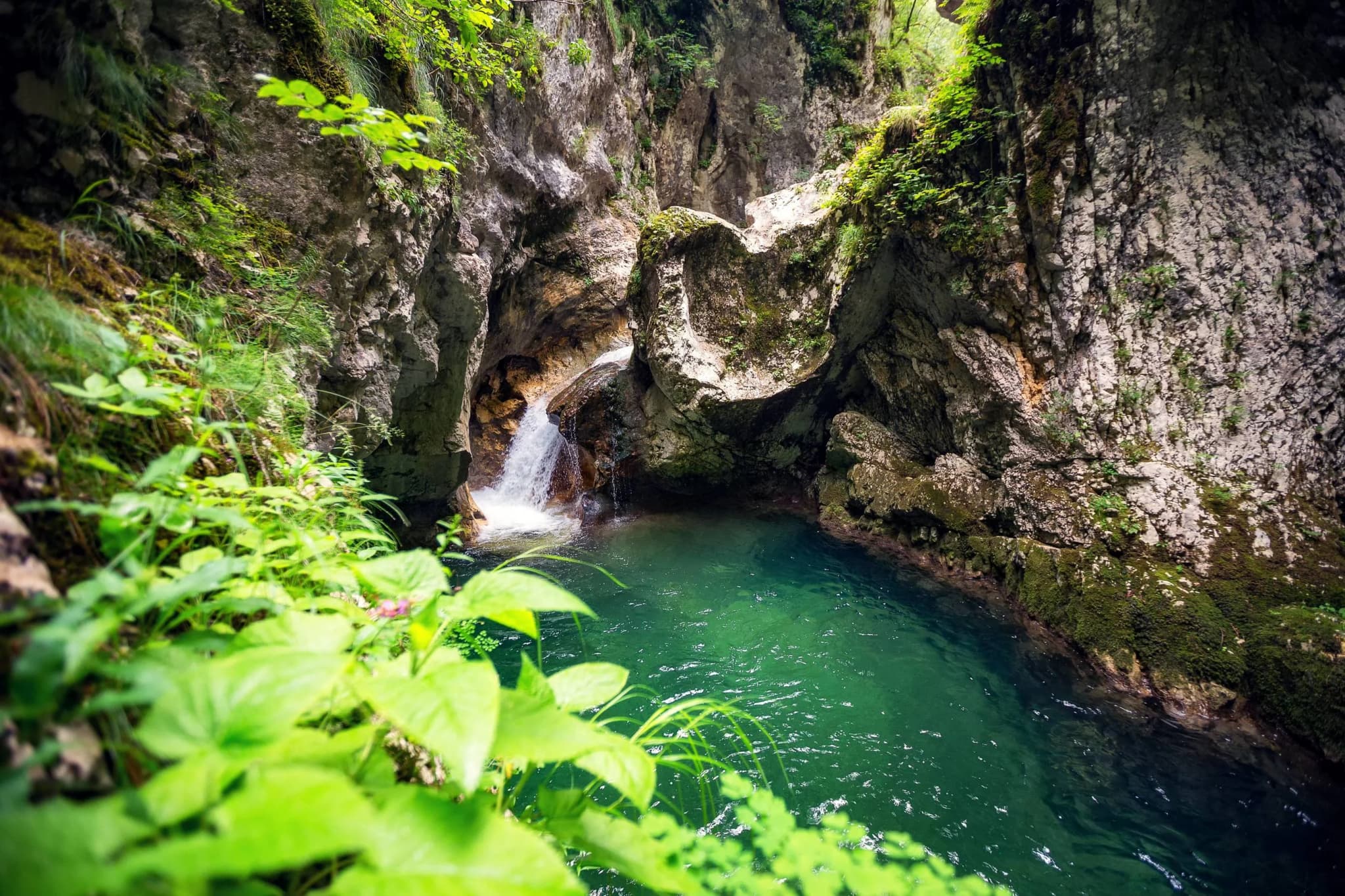
The lower and middle slopes of Orjen are covered in dense beech forest, some of which qualifies as old-growth and is of significant ecological value. Walking through these forests, especially in early morning when the light filters through the canopy and the air is cool and damp, is one of the most atmospheric experiences on the mountain. The forest floor is rich with ferns, mosses, and fungi, and the trees themselves are impressive — some specimens are centuries old, their massive trunks twisted by wind and snow. Orjen's forests are home to brown bears, wolves, wild boar, and roe deer, though all are shy and rarely seen. Birdlife is abundant, with woodpeckers, raptors, and numerous songbird species.
Alpine Meadows and Endemic Flora
Above the treeline (approximately 1,500 metres), Orjen's landscape opens into high-altitude karst meadows and rocky plateaus. These areas are botanically rich, supporting a diverse community of alpine and sub-alpine plants, including several species found nowhere else in the world. The Orjen iris (Iris orjenii), discovered and formally described only in the 21st century, grows in rocky crevices on the upper mountain and blooms in June-July. Other notable species include several endemic bellflowers, saxifrages, and sedums. The meadows are also carpeted with orchids, gentians, and edelweiss during the summer flowering season.
Cave and Karst Exploration
Orjen's limestone bedrock is riddled with caves, sinkholes, and underground watercourses. Some of the caves are of significant speleological interest, with large chambers and formations, though most are unexplored or only partially mapped. Cave exploration on Orjen should only be undertaken by experienced cavers with proper equipment, as the underground terrain is complex and potentially dangerous. However, even casual visitors will notice the dramatic surface karst features — massive dolines (sinkholes), limestone pavements, and the eerie silence of terrain where all water disappears underground.
Scenic Drive: Herceg Novi to Crkvice
Even for non-hikers, the drive from Herceg Novi up the mountain road toward Crkvice is rewarding. The road climbs through olive groves and Mediterranean vegetation, transitions through mixed forest, and eventually reaches the cooler, greener beech zone. Views back toward the coast are spectacular, with the Bay of Kotor and the Adriatic laid out below. Several informal viewpoints along the road provide opportunities to stop and photograph. The full drive to the upper villages takes about 40 minutes and gains approximately 1,000 metres in elevation — a dramatic transition from Mediterranean warmth to mountain coolness.
Mountain Biking
The network of old roads, logging tracks, and shepherds' paths on Orjen's lower slopes offers challenging mountain biking through spectacular scenery. The most popular route follows the road from Herceg Novi toward Crkvice, then loops back via forest tracks. The gradients are steep and the surfaces can be rough, so this is suitable for experienced mountain bikers with appropriate equipment. The reward is a thrilling descent through the forest with sea views and the satisfaction of a genuine mountain workout.
Winter Activities
In winter, Orjen's heavy snowfall transforms the mountain into a snow-sports playground, though infrastructure is entirely absent. Ski touring (backcountry skiing with climbing skins) is increasingly popular on Orjen, with the broad, open slopes above the treeline offering excellent terrain for ascending and skiing down. Snowshoeing through the beech forests is another winter option, with the snow-draped trees creating a magical atmosphere. Winter conditions on Orjen are serious — deep snow, sub-zero temperatures, and the risk of avalanches in certain terrain features. Only experienced winter mountaineers should venture above the treeline.
Where to Stay
There is no formal accommodation on the mountain itself — no mountain huts, refuges, or lodges in the alpine zone. Hikers must either make day trips from the coast or carry camping equipment for overnight stays. Wild camping is possible and tolerated at higher elevations, though there is no water on the karst summit plateau (all rainfall drains immediately underground), so you must carry enough water for your entire stay.
Herceg Novi, at the foot of the mountain, offers a full range of accommodation from luxury hotels to budget apartments. The town is an attractive base in its own right, with a lovely Old Town, excellent restaurants, and a waterfront promenade. Staying in Herceg Novi allows you to enjoy the Mediterranean coast in the evening after a day in the mountains — a wonderful contrast.
For those approaching from the inland side, the town of Nikšić (via Grahovo) provides accommodation options, though it is further from the mountain's main trailheads.
Camping near the trailheads at Vrbanj or along the upper road is possible in several informal spots, and this is the preferred option for hikers planning early starts on longer routes.
Where to Eat and Local Cuisine
There are no restaurants or food facilities on the mountain. Bring everything you need for a full day — food, water, and emergency supplies. The lack of water on the upper mountain is a particular challenge: there are no springs, streams, or reliable water sources above the treeline, so carry a minimum of 2-3 litres per person for a summit day.
Herceg Novi, back on the coast, has excellent dining options. The town is famous for its seafood, with restaurants along the waterfront and in the Old Town serving fresh fish, shellfish, and Mediterranean cuisine. After a long day on the mountain, a meal of grilled fish, fresh salad, and local wine on a terrace overlooking the bay is the perfect reward.
The mountain villages below the treeline occasionally sell local products — honey, cheese, rakija — from roadside stalls or private homes. These are worth seeking out as they represent the genuine mountain produce of the region, made from animals and bees that forage on Orjen's herb-rich slopes.
Nikšić, accessible via the inland approach, offers hearty mountain cuisine — grilled meats, stews, and the excellent Nikšićko beer — at very reasonable prices.
Practical Tips
Orjen is a serious mountain. Conditions above the treeline can be challenging even in summer, with cold winds, sudden fog, and afternoon thunderstorms. Carry warm layers, waterproof clothing, and navigation equipment.
There is no water on the upper mountain. Carry a minimum of 3 litres per person for a summit day, more in hot weather.
Trail markings on Orjen are inconsistent and can be obscured by snow or vegetation. A GPS track downloaded in advance is strongly recommended for summit routes.
Mobile phone signal is available on much of the mountain but can be unreliable in valleys and on the northern slopes. Do not rely on your phone for navigation.
Tell someone your planned route and expected return time before setting out. Mountain rescue response times in this area can be long.
The mountain road from Herceg Novi is narrow with sharp bends and no barriers. Drive slowly and be prepared for oncoming traffic, livestock, and occasional rockfall.
Weather can change with extraordinary speed on Orjen. A sunny morning can turn to thick cloud and rain within an hour. Always be prepared to turn back.
The endemic Orjen iris is a protected species. Admire and photograph it, but do not pick or disturb the plants.
Day Trip Ideas
Forest Walk and Coastal Return: Drive from Herceg Novi to the upper villages, take a 2-3 hour walk through the beech forests without attempting the summit, then return to the coast for a late lunch and an afternoon at Herceg Novi's beaches. This option is accessible for moderately fit walkers and requires no mountaineering experience.
Herceg Novi and Orjen Combo: Spend the morning exploring Herceg Novi's Old Town — the Kanli Kula and Forte Mare fortresses, the Savina Monastery with its magnificent gardens — then drive up the mountain road in the afternoon for views and a forest walk. The contrast between Mediterranean coast and mountain wilderness in a 30-minute drive is remarkable.
Cross-Border Circuit: For a full-day adventure, drive from Herceg Novi over the mountain toward Trebinje in Bosnia and Herzegovina. Trebinje is a charming city with Ottoman and Austro-Hungarian heritage, excellent wine (the Vukoje winery is highly regarded), and the Tvrdoš Monastery. Return via Grahovo and the Krstac Pass to Risan, or directly back to Herceg Novi. This circuit showcases the extraordinary geographic and cultural diversity of the region.
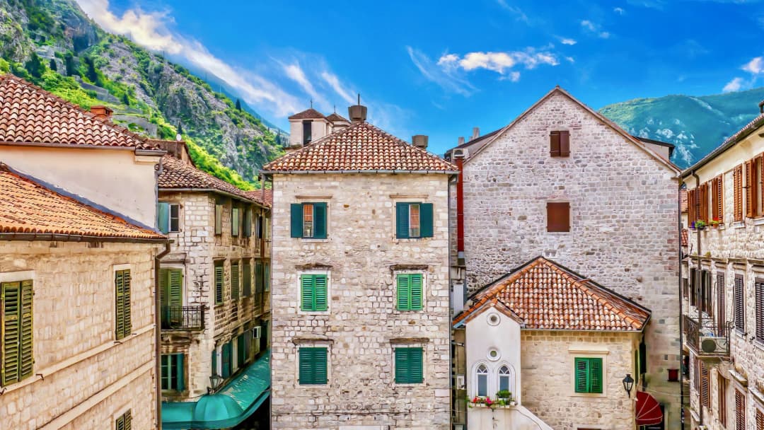
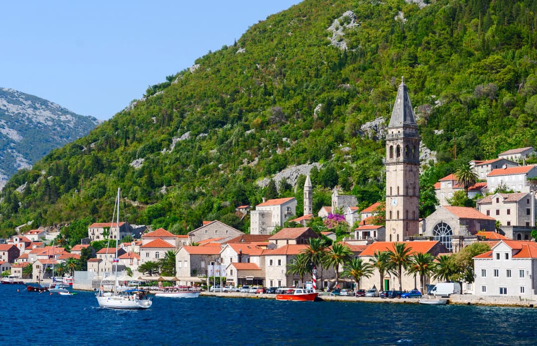
Bay of Kotor and Mountain Day: Combine a morning visit to Kotor or Perast with an afternoon drive up Orjen for mountain views and a walk. The transition from the UNESCO-listed bay towns to the wild mountain landscape above is one of the great contrasts in Montenegrin travel.
What the evidence supports
Orjen claims: source, meaning and limit
Claim
Best evidence
What it supports
What it does not support
Huge ancient ice cap
Peer-reviewed reconstruction
About 165 km² at maximum extent; ice up to about 450 m thick
Modern glacier or reliable spring snow
Exceptional rainfall
National communication archived by UNFCCC
Crkvice may reach about 7,000 mm annually
A fixed total every year or benign hiking weather
Historic road network
Park heritage interpretation
Routes, paved fabric, cisterns, posts and forts formed a system
Every road unchanged, maintained or driveable
Ice trade
Named local oral-history report
Organised extraction and sale before refrigeration
Safe cave access or independently audited quantities
Ice made the stage; limestone controls the visit
Research led by Philip Hughes and colleagues reconstructed repeated Pleistocene glaciation on Orjen. At its greatest mapped extent, an ice cap covered roughly 165 square kilometres and reached an estimated maximum thickness of about 450 metres; ice descended unusually low for a Mediterranean coastal mountain. These findings explain landforms, not present conditions. Orjen has no modern ice cap, and old glacial scale must not be converted into a snow guarantee.
Water creates a second apparent contradiction. Montenegro's Third National Communication says annual precipitation at Crkvice, at about 940 metres, may reach around 7,000 millimetres. Yet fractured limestone routes much of that water underground. On the ground, a visitor can encounter wet rock, sudden cloud and limited reliable surface water in the same day. Carrying water is therefore not an admission that the mountain is dry; it is a response to karst hydrology.
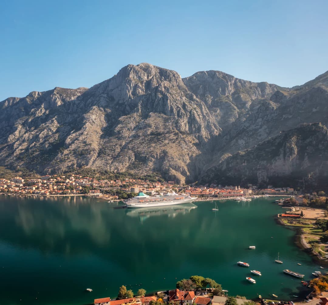
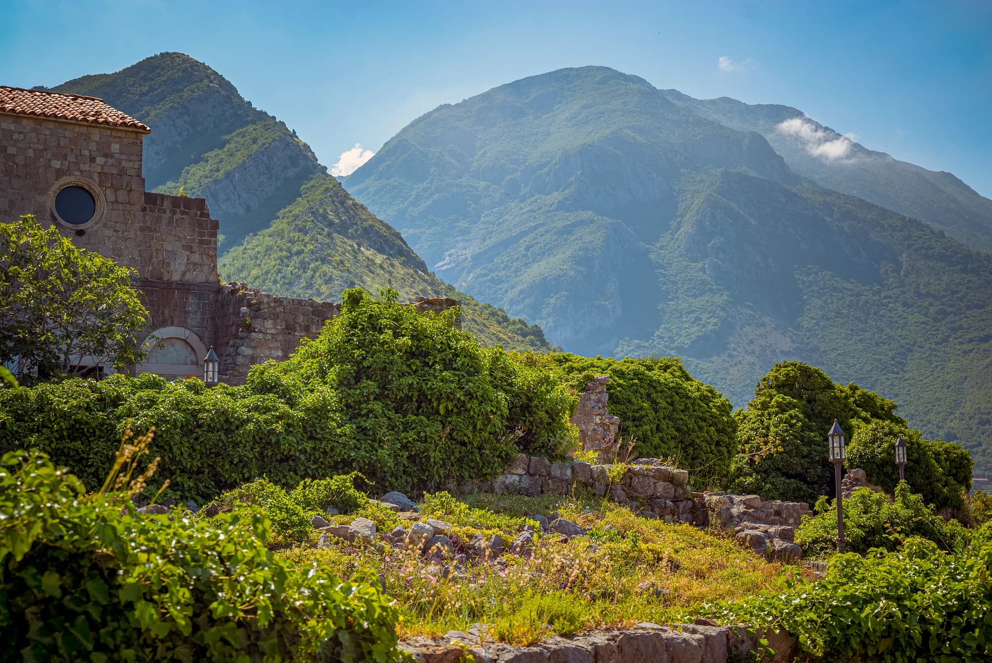
Licensed Bay of Kotor mountain context, not an Orjen trail or viewpoint. The coast-to-mountain relationship helps explain Orjen's unusual setting.
The physical surface is also an archive. Pavement, hollows, pits and deposits record ice and dissolution; paths, walls and roof stones record decisions about moving through that surface. Do not climb into a pit to make the geology feel more authentic. Cave and shaft environments require specialist permission, equipment and competence, while loose limestone can hide openings beside an apparently obvious line.
Roads, water works and forts formed one network
The Park's cultural-heritage account places the road system in the political landscape after the First Krivošije uprising. It describes military investment not as a single scenic road but as linked infrastructure: foot and cart routes, captured springs, cisterns, guard posts and fortifications along a sensitive frontier. It names the Herceg Novi–Kameno–Crkvice direction and the Trebinje–Vrbanj–Orjensko sedlo–Crkvice connection.
That distinction matters when looking at masonry. A retaining wall can be part of route engineering; a cistern can explain how people and animals remained in a water-poor zone; a fort's position can reveal surveillance of passes. The Park describes an early-1880s reconstruction of the older Herceg Novi hinterland route, with carefully laid stone surfacing and substantial edge blocks. It does not prove that every metre visible today is original or structurally sound.
The tourism organisation also associates the path to Veliki kabao with Austro-Hungarian Crown Prince Rudolf and calls it Montenegro's oldest purpose-built hiking trail. Treat that as official local interpretation, not licence to embroider the story. The source does not establish a modern royal itinerary, exact surviving fabric throughout, or current difficulty. Our Crkvice guide examines the rain station and military settlement in more detail.
How to read Orjen's historic infrastructure as a network
Element
Function
ROUTE
movement
WATER
endurance
POST
observation
FORT
control
One system, four functions
Interpret position and connection before guessing a ruin's purpose.
Source: orjen.me, hercegnovi.travel
Katuns: seasonal homes, not abandoned décor
Long before a trail became a recreation product, households used Orjen's higher ground seasonally. A park heritage programme identifies remains of summer dwellings connected with Kruševice, Mokrine, Kameno, Žlijebi and Ubal, and says active katuns have largely disappeared since the decades after the Second World War. The broader tourism account links grazing on glacial deposits with a human-shaped grassland ecosystem.
A katun should therefore be read through work: shelter, animals, water storage, movement between village and pasture, and repair with available stone. It is not automatically an empty public building. Walls can be fragile, land can have owners or users, and a photograph does not require stepping through a doorway. For a focused comparison of roof stone, quarrying and village fabric, see the Žlijebi stone-architecture guide.
Licensed Bay of Kotor stone-settlement context, not an Orjen katun. Mountain structures should be observed without entry, climbing or removal.
The ice trade: credible practice, carefully bounded numbers
Before mechanical refrigeration, stored mountain ice had commercial value. A Boka News heritage account, drawing on named testimony and the publication Kamenski ledari, describes ice being cut from four pits in the Subra area, packed and carried by horse toward Herceg Novi for sale to hospitality businesses. It also reports a rotation among pits and seasonal work by households from Kameno.
This supports the practice and its economic logic: snow persisted in shaded karst cavities, coastal businesses wanted cooling, and labour connected mountain and town. It is still an oral-history-based secondary account. Its exact daily horse totals and list of customers should be repeated as reported testimony, not converted into audited trade statistics. The pit is a workplace in memory and a hazardous void in the present, not a visitor attraction to enter.
Evidence chain for Orjen's historic ice trade: from winter accumulation to coastal sale
Stage
Role
SNOW + PIT
cold storage
LABOUR
cut + pack
HORSE
descent
COAST
buyers
Evidence status
Practice is well explained; reported quantities remain oral-history evidence.
Source: bokanews.me, unfccc.int
Protection is current—and transboundary
Orjen crosses political boundaries. A Parks Dinarides case study records designation of protected areas on the Montenegro side in 2018 and the Republika Srpska side in 2020, while identifying a continuing need for stronger cross-border communication. The Republika Srpska heritage institute records its 2020 declaration over 16,715.83 hectares on the Trebinje side. Those facts do not merge the two administrations: rules, managers, documents and access arrangements can differ.
On the Herceg Novi side, the Park's document library publishes management material, annual reports and a 2026 work programme. The municipality also opened consultation in 2024 on revised boundaries, category and protection regimes. That is evidence of active governance, but a draft and a consultation notice are not substitutes for the final rule applicable today. Check the manager before organised activity, research, commercial filming, collecting, drone use or entry to controlled sites.
Protection also concerns small, vulnerable things. Kew accepts Iris orjenii, first described in 2007, as native to Montenegro and records a Vulnerable assessment. EnvPro reports that conservation work moved a hiking line away from a population and reintroduced plants at Sedlo. The practical lesson is simple: remain on the current marked line and never pick, dig, geotag or trample a rare plant for a photograph.
Responsible sequence for an Orjen heritage visit: five checks before the first step
Check
What to confirm
1 SIDE
jurisdiction
2 NOW
conditions
3 LINE
marked route
4 LOOK
do not enter
5 TURN
when unsure
Note
Protected-area status is a starting point for checking rules, not a single cross-border permit.
Begin with the question you want the landscape to answer. For roads and military logistics, choose an officially described historic-road section and look for relationships among gradient, surface, water points and sight lines. For seasonal life, use an interpreted route near katun remains and keep outside structures. For karst, select a marked surface route rather than a cave. The broader Montenegro hiking guide explains national trail preparation.
Then verify the live layer: weather forecast, fire restrictions, route status, daylight, transport back, water, mobile coverage assumptions and emergency plan. Winter adds snow, ice and short-day consequences; use the Montenegro winter safety guide before treating a historic road as an easy snow walk. A road engineered for nineteenth-century military movement is not automatically maintained for a modern passenger car.
Keep the itinerary geographically modest. Orjen can work as a focused excursion from Herceg Novi, but a day should not depend on optimistic cross-bay driving or a spontaneous border crossing. If starting from Kotor, compare the transport burden in our day-trips-from-Kotor guide. Build a turnaround time and preserve enough daylight to interpret slowly rather than race between ruins.
···
Updated · Originally published
Montenegro Travel Newsletter
Get weekly stories, guides, and insider tips about Montenegro delivered to your inbox.
This article is about
Browse accommodation, travel guides, and local tips.