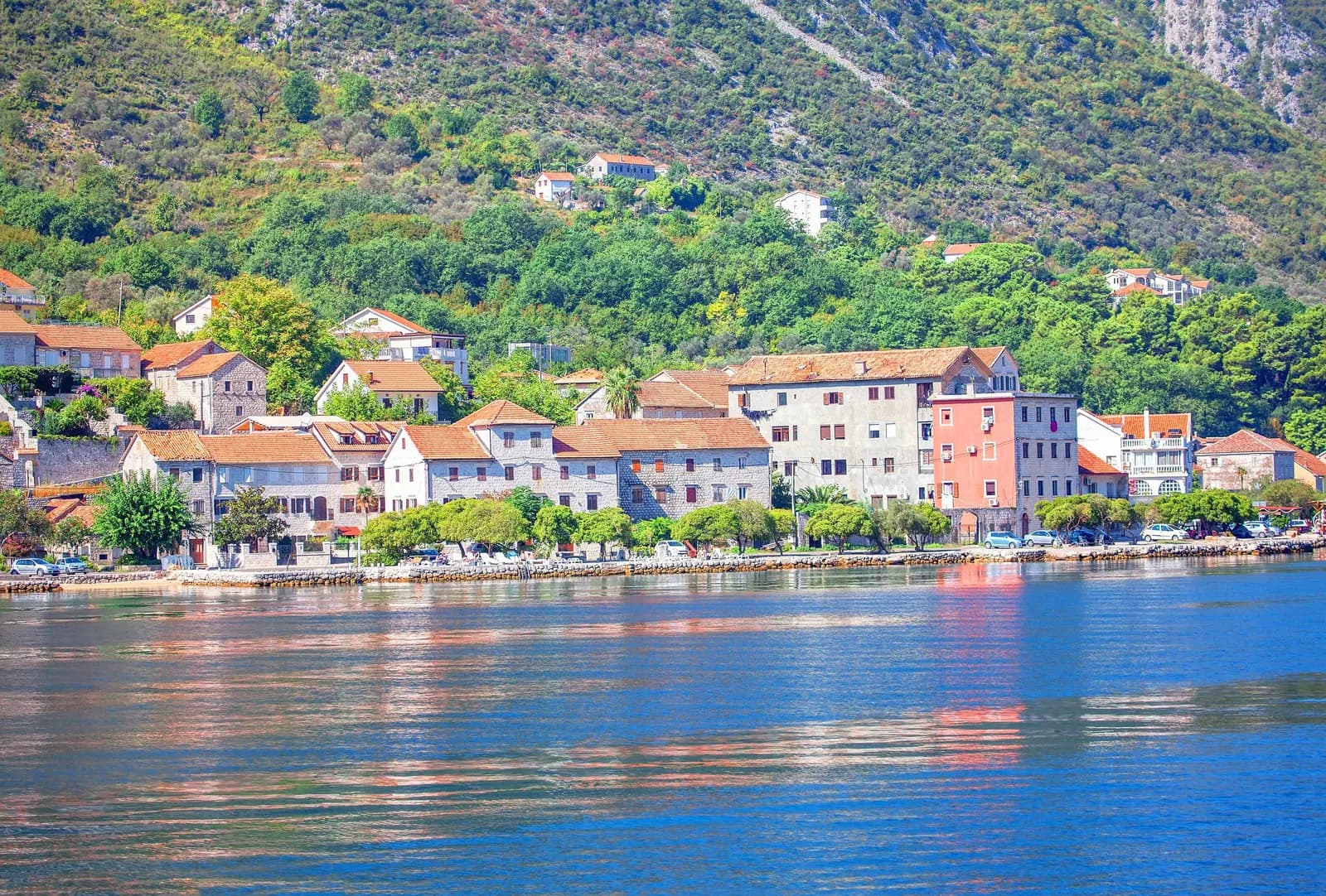
Orahovac is a small inner-Bay settlement where the beach, waterfront houses, steep slopes and Adriatic Highway occupy a compressed strip. That geography creates the appeal and the practical problem. A good 2026 visit depends less on a list of attractions than on four current checks: where you can arrive legally, which bathing location and flag apply, where vessels or shellfish-farm equipment constrain the water, and whether any uphill route is genuinely signed and suitable.
Orahovac is a living settlement inside the Kotor cultural landscape. Its spring-water reputation, small shores, steep paths and shellfish farms do not guarantee potable outlets, empty beaches, easy hiking or direct retail sales.
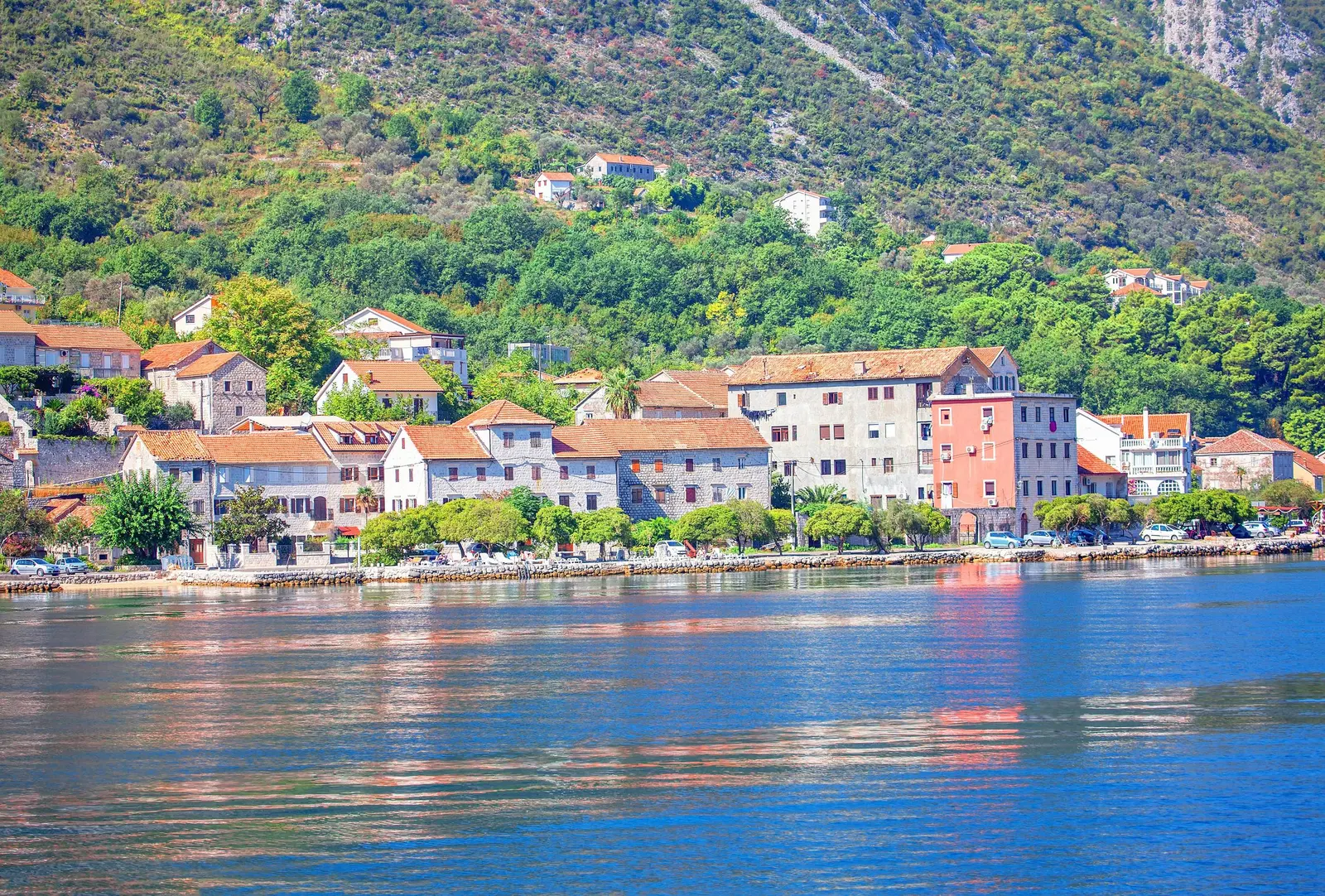
Orahovac at a glance
| Plan | What must be true | Live check | Fallback |
|---|---|---|---|
| Swim | Dated site result and current beach signals agree | Portal, flag, board, sea | Waterfront pause without entry |
| Family beach stop | Safe arrival, suitable surface and enough space | Legal access, shade, exit | Short look, then another beach |
| Village walk | Route avoids unsafe highway exposure | Footway, crossings, daylight | Small waterfront out-and-back |
| Uphill heritage | Signed route, suitable conditions and return margin | Current local or official advice | Observe St George from below |
| Shellfish meal | Licensed food business and clear product information | Menu, source, price, allergies | Buy elsewhere; never collect |
Orahovac lies on the northern shore of the inner Kotor–Risan Bay, between Ljuta and the Dražin Vrt–Perast direction. Use the Bay of Kotor guide for the regional structure, but do not turn map proximity into a fixed journey time. Traffic, road works, cruise operations and the last narrow approach can matter more than distance.
| Activity | Requires | Check | Fallback |
|---|---|---|---|
| Swim | Marked water space | Site result + flag | Keep a dry fallback |
| Observe | Waterfront + slopes | Shared-space etiquette | No swim required |
| Climb | Only a signed route | Weather + return margin | Confirm duration locally |
Source: kotor.me, monitoring.morskodobro.me
Getting there: narrow-road reality comes first
The Municipality of Kotor's detailed plan for Orahovac and Dražin Vrt records many local streets as narrow, steep and inadequate for vehicle traffic, with some slopes reaching 20–25 percent. It identifies the Adriatic Highway as the primary route through Donji Orahovac and Dražin Vrt and prohibits new direct plot connections to it.
The municipal plan does not identify current parking availability. Never assume that a lane, widened shoulder or waterfront opening is public parking or a safe turnaround. If driving, confirm a lawful destination before entering the tightest section. Keep through-traffic, emergency access, gates and residents' driveways clear. If accommodation advertises parking, ask whether the space is reserved, on site and accessible for your vehicle.
For bus or taxi travel, verify the current operator, precise stop and return plan. A roadside drop-off can involve traffic exposure or steps that a route planner does not show. Do not wait in the carriageway, cross on a blind bend or carry beach equipment along an unprotected road margin merely because the water is close.
| Step | What to do |
|---|---|
| 1. Confirm | Stop or reserved space |
| 2. Approach | Do not improvise a turn |
| 3. Inspect | Crossing + last walk |
| 4. Record | Exit + pickup + daylight |
Source: kotor.me
2026 bathing-water results
Montenegro's 2026 programme covers 114 bathing-water locations, including 15 in Kotor municipality, with ten analyses planned at roughly fifteen-day intervals from May through September. The Institute of Marine Biology tests the required microbiological parameters. Results are classified as excellent, good, satisfactory or poor.
The municipal picture changed within August. For samples collected 3–7 August, Kotor had ten excellent, four good and one satisfactory location. For 17–21 August, it had seven excellent, five good and three satisfactory locations. Neither national summary named Orahovac's exact class, so use the site-level monitoring portal for the dated result.
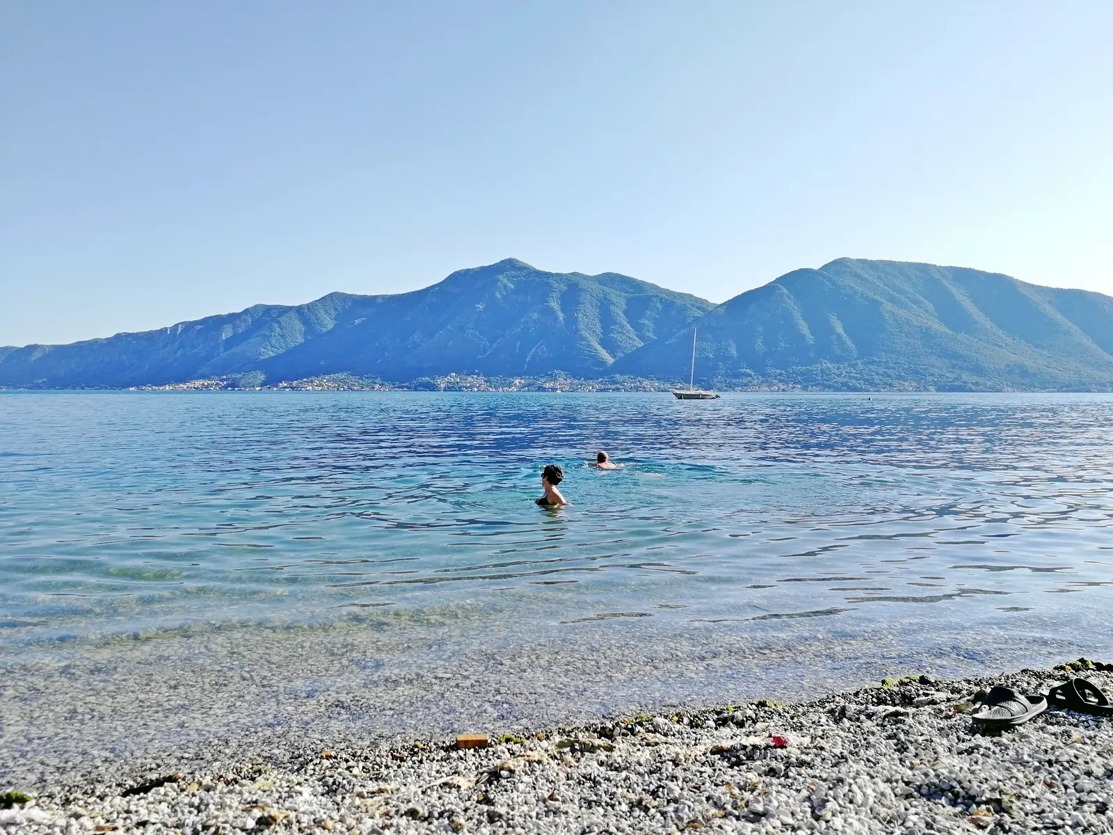
At organized bathing areas, check the information and safety boards, rescue flags and marked water limits. The coastal manager's rules define green as safe bathing, yellow as limited and potentially dangerous, and red as prohibited or without a lifeguard on duty. If the portal, flag, posted notice or visible conditions conflict, follow the more restrictive current signal.
Read the water as a working space
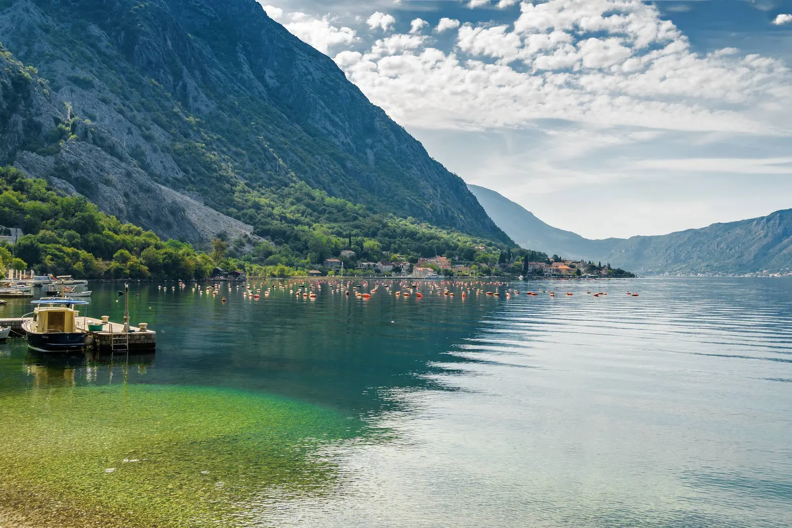
Orahovac's water is not only recreational. A peer-reviewed 2025 study placed experimental bivalve collectors at a shellfish farm in Orahovac and another at Kamenari. Kotor's mariculture guidance says the ministry determines farm locations, permits are issued for each farm and operators must mark farm boundaries in accordance with navigation-safety rules.
For a swimmer or paddler, the practical rule is simple: buoys, ropes, floats, cages and service craft are working infrastructure. Do not swim through them, tie to them, climb on them or take shellfish. Do not assume that a gap is a public passage. Stay within a clearly marked bathing zone and away from vessel approaches.
The municipality reported substantial cruise traffic at anchorages in the Kamenari–Orahovac zone in 2026. Watch current vessel movement, wakes, tender operations and harbour instructions rather than assuming a fixed ship schedule.
| Zone | What it is | Rule | Limit |
|---|---|---|---|
| Shore entry | Inspect footing | Keep access clear | No private shortcuts |
| Bathing zone | Board + flag | Stay inside markers | Supervise directly |
| Farm equipment | Working site | Do not enter or touch | Never self-collect |
| Navigation | Watch vessels | Expect wakes | Obey harbour signals |
Source: studiamarina.ucg.ac.me, investinkotor.me, kotor.me
Shellfish: farm presence is not a buying invitation
Mariculture near Orahovac does not guarantee a roadside seller, farm-gate shop, current harvest or direct purchase. A 2024 Studia Marina paper examined a mass-mortality event in farmed mussels and wider production-zone conditions. Buy shellfish through a registered food business rather than approaching visible farm equipment.
Buy from a registered food business. Ask the species, source, fresh-or-frozen status, price basis and preparation method. If priced by weight, confirm the unit and total before cooking. State allergies and cross-contact risk explicitly. Never remove shellfish from farm lines, rocks or shore, and never consume a wild-collected bivalve on appearance alone.
Spring water and drinking water are different questions
Orahovac is associated with springs, but a visible outlet is not necessarily potable and the distribution network can fail. Kotor Water and Sewerage has published an Orahovac outage notice caused by a distribution-pipeline fault. Check current utility information for the day of travel.
Use only a clearly designated potable source or sealed supply. If accommodation depends on a cistern or local system, ask about current service, testing and backup. Do not drink from an unlabeled spring, roadside pipe or decorative outlet. After heavy rain, construction or a local notice, seek current utility advice rather than trusting taste or clarity.
World Heritage context without a museum-town fantasy
UNESCO describes the Natural and Culturo-Historical Region of Kotor as a 14,600-hectare inner-bay landscape where settlements, palaces and monastic ensembles are integrated with steep, cultivated slopes. The value lies in relationships: shore, stone buildings, routes, terraces and mountains. Orahovac should be read as part of that living system, not as an isolated postcard.
That status brings conservation pressure, not automatic visitor privileges. In 2025 the World Heritage Committee requested a halt to further approvals for new construction and development within the property and buffer zone until protective policies and planning frameworks are harmonised. A 2025 UNESCO–ICOMOS mission annex considered a proposed Hotel Orahovac project to have a negative impact on Outstanding Universal Value. Project status requires current municipal planning information.
Walk quietly, keep residential entrances and working waterfronts clear, and admire historic-looking buildings without entering private property. The Perast guide explains a denser monumental town nearby; the Prčanj guide provides another captain-settlement comparison across the Bay. Orahovac's value does not depend on borrowing either place's biography.
St George and the uphill-route problem
The municipal Kotor planning concept lists the Church of St George in Donji Orahovac as a cultural property. A 2026 local heritage essay drawing on Stjepan Antoljak's archival study reports a documentary mention in 1466. Exact earlier foundation and fresco dates are not established in the current visitor information.
Confirm the route, current access and photography rules. Dress respectfully, keep noise low, and remain outside if worship or a service is underway. Never assume an unlocked interior; a view from a public route may be the entire visit.
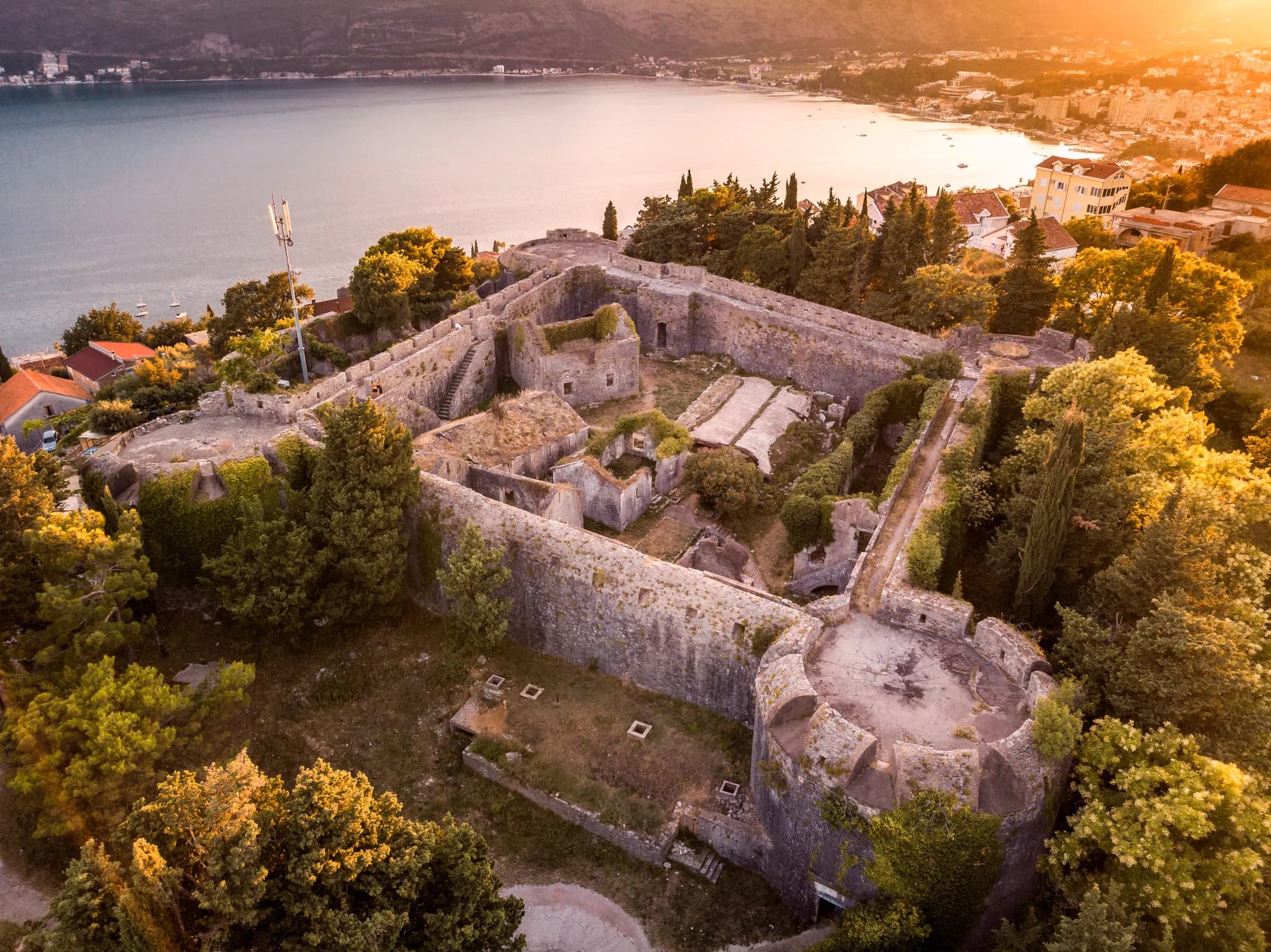
Do not plan the fort above Orahovac as a 45-minute light hike. Route alignment, signs, condition and rescue access require current local confirmation. The municipal plan documents very steep local streets, while terrain above the Bay becomes rocky and exposed. Attempt an uphill route only with a clear legal line, suitable weather and enough margin to turn back. Never descend a steep path from the highway to seek an isolated swimming cove.
For an alternative stone-village walk, use the Žlijebi guide. It is a separate destination and not a route above Orahovac.
A compact half-day plan
| Step | Focus |
|---|---|
| 1. Check | Road + water |
| 2. Arrive | Solve return first |
| 3. Inspect | Flag + boundaries |
| 4. Choose | Swim or dry plan |
| 5. Return | Before margin ends |
Source: kotor.me, monitoring.morskodobro.me, morskodobro.me
- Before departure: open the water portal, check weather and traffic, confirm the exact stop or reserved space, and save the return arrangement offline.
- At arrival: inspect the last walk and road crossing before unloading. If it is unsuitable, change the stop.
- Read the shore: identify the bathing board, flag, buoy line, vessel movement and any working equipment.
- Choose the middle: swim only when current signals agree; otherwise observe the waterfront and cultural landscape from durable public space.
- Add one heritage stop: visit St George only if access is clear, or continue by transport toward Perast. Do not force an unsigned uphill route.
- Leave carefully: take waste, avoid a blind roadside wait and use the confirmed pickup or exit.
If comparing quieter Bay bases, the Djenovići guide, Zelenika guide and Njivice guide show why “quiet” never means identical transport, beach or shoreline conditions.
Safety and emergency information
Call Montenegro's national number 112 for a serious emergency. Say Orahovac in Kotor municipality, identify the nearest signed beach sector, business, church, road marker or visible waterfront feature, and state whether the incident is on the shore, in the water, on the highway or uphill. Reception, road access and response time are not guaranteed.
Keep children directly supervised near water and traffic. Respect red and yellow flags, buoy lines, farm markers and harbour directions. Avoid swimming alone, at night, during thunderstorms or in vessel lanes. On foot, turn back before steepness, heat or fading light removes that choice.
Frequently asked questions
Is Orahovac good for swimming today?
Check the official portal for the exact Orahovac location and sample date, then obey the current flag, notice and sea conditions. Kotor's August 2026 municipal totals cannot answer for one beach or a later day.
Is the water always crystal clear?
No visual description proves sanitary quality. Water appearance changes with light, runoff, weather and activity; microbiological status requires the dated official test. A newer restriction or red flag overrides an older favourable result.
Can I park beside the beach?
Do not assume so. The municipal plan records narrow, steep and often inadequate local streets. Confirm lawful space or a precise stop before arrival and never block the highway, a gate, driveway or emergency route.
Can I buy mussels directly from the farm?
Farm presence does not establish retail permission or current food status. Buy from a registered food business, confirm origin and price, and never enter equipment or collect shellfish yourself.
Can I drink from Orahovac's springs?
Only use an outlet explicitly designated and currently confirmed potable. An abundant-spring reputation does not replace testing, labeling or utility advice, and network interruptions can occur.
Is the fort above Orahovac a 45-minute easy hike?
No. Do not plan it as a 45-minute easy hike. Obtain current local guidance, confirm the legal route and conditions, and turn back if signs, weather or daylight are uncertain.
Is Bajova Kula part of an Orahovac walking circuit?
Treat it and Dražin Vrt as separate road-corridor stops unless a current safe walking connection is confirmed. Do not walk along an exposed highway edge or descend an unsigned steep path to reach a cove.