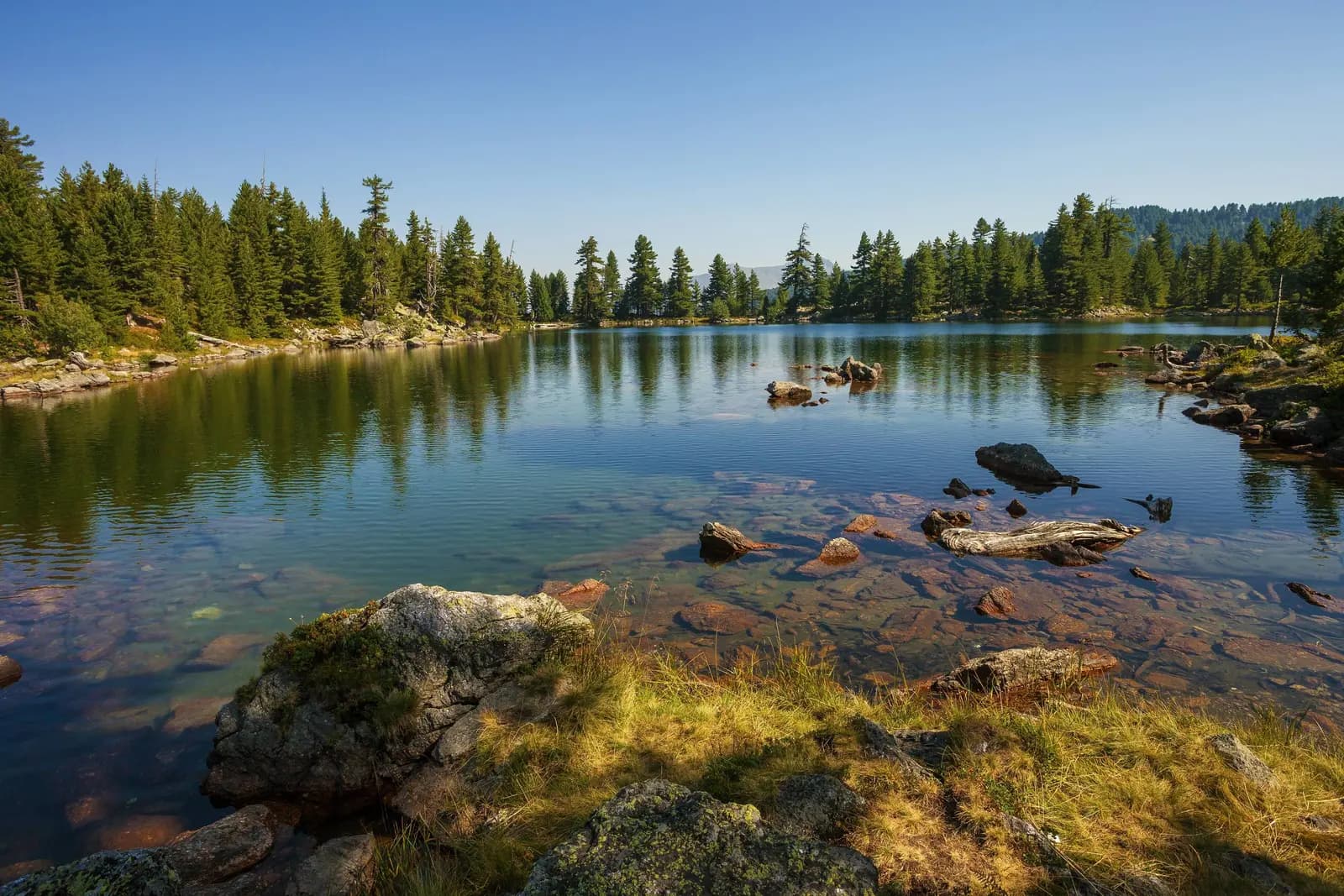
Hridsko Lake is not just a blue target at the end of a trail. At 1,970 metres in Montenegro's Prokletije, it sits inside a strict nature reserve, among protected molika pine, on terrain whose origin geographers still interpret differently. A good visit therefore combines route planning with restraint: know which itinerary you are following, verify conditions, and let the shore remain wilder than you found it.
This guide replaces vague “long half-day” advice with one measured through-route and two separately named park options. It also corrects a geological oversimplification: park documents classify Hridsko among glacial lakes, while a 2019 field study proposes that the basin formed within a relict rock glacier and is better understood as periglacial.
| Item | Published figure | How to use it |
|---|---|---|
| Lake elevation | 1,970 m | National park management figure |
| Surface area | 33,000–36,000 m² | Variable range, not one permanent size |
| Maximum depth | About 5 m | Approximate, not a swimming assurance |
| Through-stage distance | 20.31 km | Babino Polje–Hrid–Plav only |
| Through-stage time | 7–8 hours | Publisher estimate; conditions and pace vary |
| Emergency number | 112 | Reception not guaranteed |
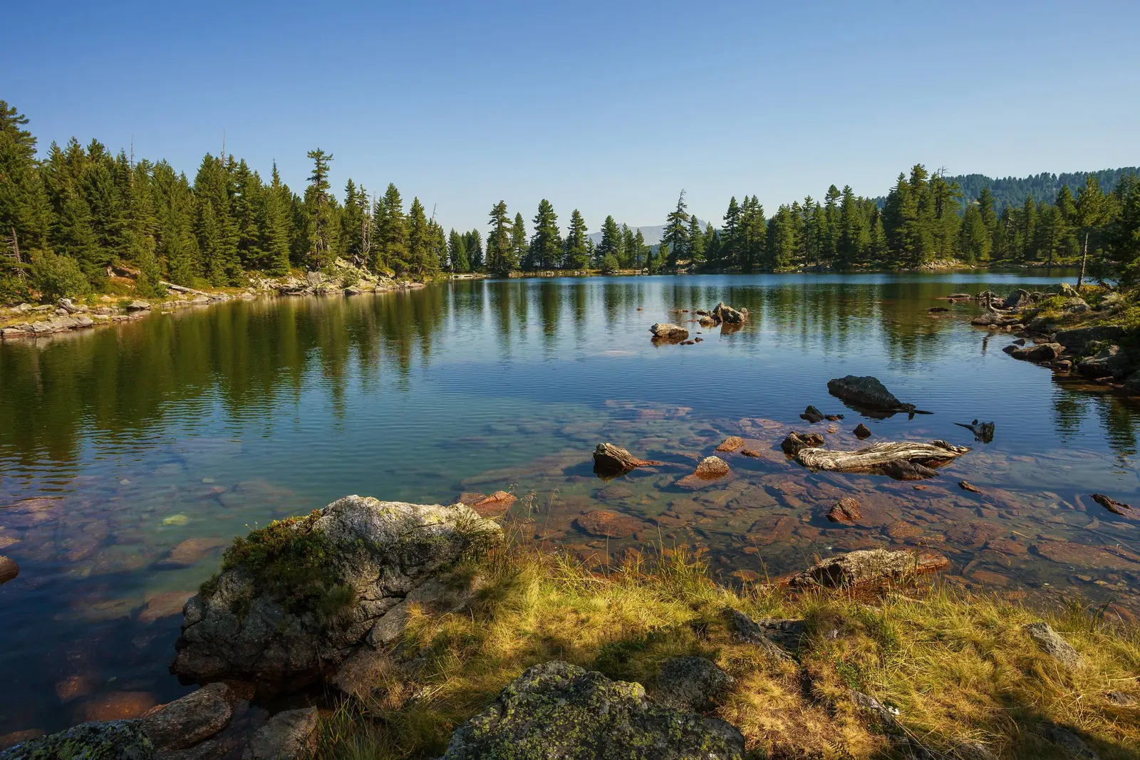
Where Hridsko Lake sits
Hridsko—also written Hrid or Ridsko in different sources—lies in the Bogićevica sector of Prokletije, southeast of Plav and near Montenegro's border zone with Albania and Kosovo. It is inside Prokletije National Park, established in 2009. The park's management plan places it at 1,970 m, within the boundaries of the Hridsko Lake nature reserve.
The same plan gives a surface area of 33,000–36,000 m² and a maximum depth of about 5 m. The range matters: a small mountain lake changes with precipitation, snowmelt, springs and loss. The plan says Hridsko receives water mainly from precipitation and weak peripheral springs, and has an intermittent outlet.
That is enough to retire two unhelpful habits: quoting a single exact area as permanent, and treating apparent clarity as drinking-water certification. Bring the water your party needs or a treatment system you know how to use; do not assume a mapped spring is flowing or safe.
| Attribute | Value |
|---|---|
| Elevation | 1,970 m |
| Surface | 33,000–36,000 m² |
| Max depth | ~5 m |
| Supply | Precipitation + weak springs |
| Outlet | Intermittent · hydrology changes |
Source: nparkovi.me
Glacial lake—or lake in a relict rock glacier?
National Parks of Montenegro describes Hridsko among the area's glacial lakes. That is the traditional interpretation: ice shaped Prokletije, and the mountain contains abundant cirques, moraines and other glacial landforms. A one-word origin story, however, hides an important research question.
A 2019 geomorphological study, based on field research and bathymetric mapping, proposed that Hridsko occupies depressions within a large relict rock glacier. In that hypothesis, accumulated fine material and organic remains helped block drainage after glacier retreat, making the immediate lake basin periglacial rather than a classic cirque hollow.
These positions are not mutually exclusive at landscape scale: Pleistocene ice profoundly shaped Bogićevica, while the specific depression holding today's lake may owe its form to post-glacial rock-glacier processes. The honest visitor interpretation is “a lake in a formerly glaciated high-mountain landscape, with a debated basin mechanism.”
| Account | Basin origin | Context |
|---|---|---|
| Park classification | Glacial lake | Within glaciated Prokletije |
| 2019 hypothesis | Relict rock-glacier depression | Periglacial basin mechanism |
| How to use | Present both | Do not declare the research closed |
Source: nparkovi.me, jbgs.arphahub.com
The molika forest is part of the destination
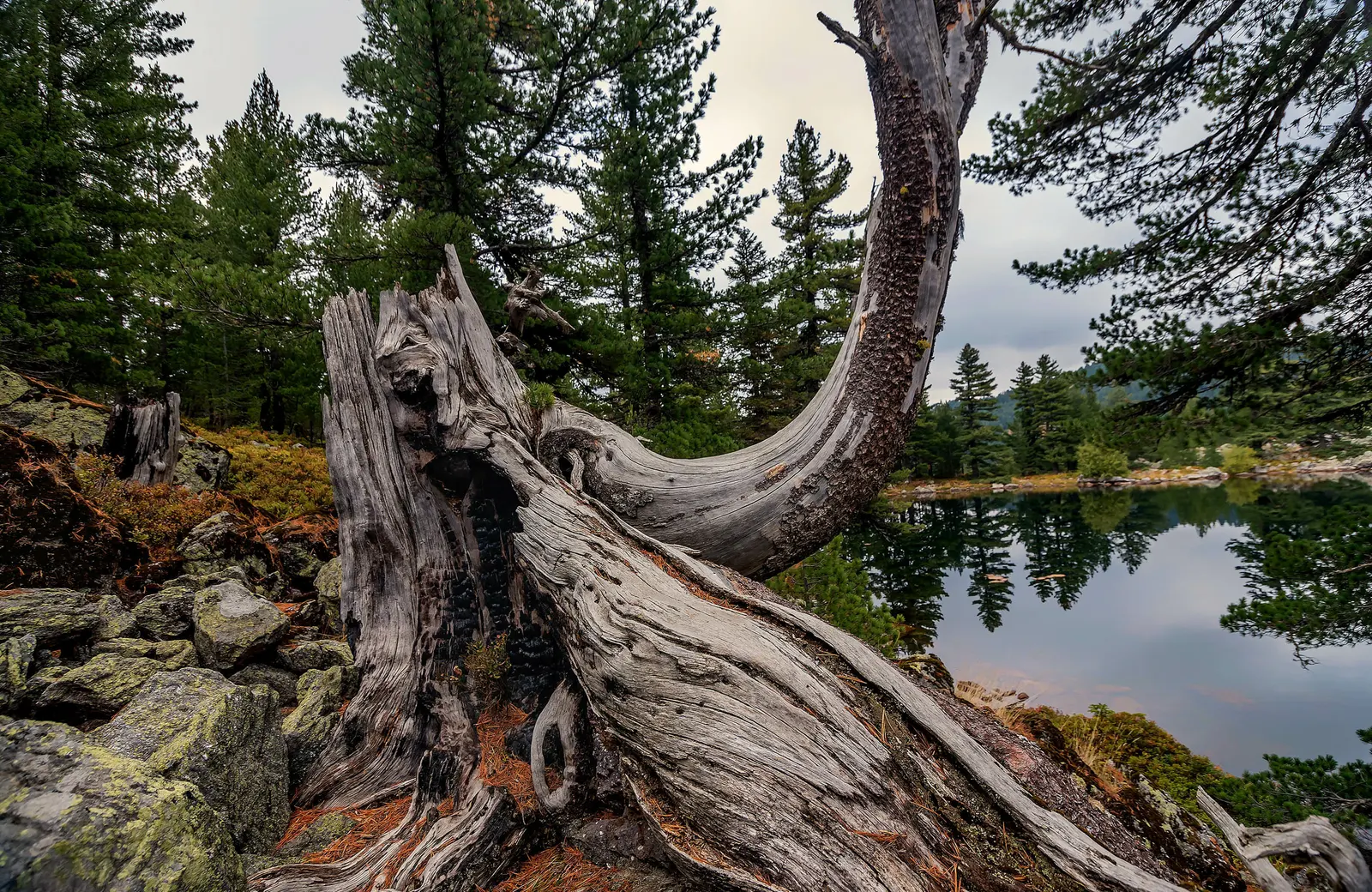
The lake's visual signature is molika, or Macedonian pine (Pinus peuce). National Parks says the tree is nationally protected and identifies the molika forest around Hridsko Lake as a strict nature reserve. The forest is not scenic background waiting to be rearranged for a photograph.
A peer-reviewed isotope study sampled molika near Hridsko at about 1,900 m, at the upper timberline, to examine climate information preserved in tree rings. That scientific use is a reminder that fallen wood, old trunks, roots and soil are habitat and archive. Do not carve bark, move deadwood, cut switchbacks or build informal fire rings.
| Subject | Detail |
|---|---|
| Molika | Pinus peuce |
| Status | Nationally protected |
| Habitat | Strict-reserve forest |
| Science value | Tree-ring climate evidence |
Source: nparkovi.me, mdpi.com
Choose the route before choosing the start
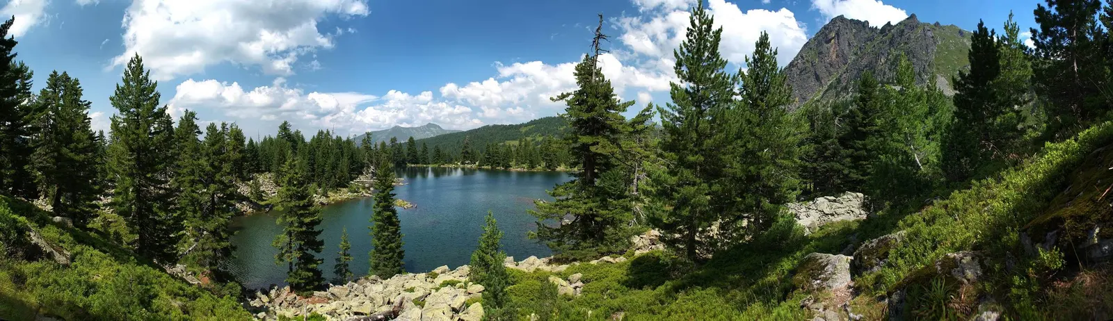
“The hike to Hridsko” is not one standardized walk. National Parks lists a shorter named option from Bajrovića katun to Hridsko Lake and a longer Babino Polje–Hridsko Lake–Tromeđa–Babino Polje circuit. Its general active-holiday page also includes Hridsko in longer hiking and cycling networks. Those pages do not publish a complete current metric set for every option.
The measurable itinerary is the Peaks of the Balkans stage from Babino Polje via Hrid Lake to Plav: 20.31 km, 7–8 hours, 719 m ascent, 1,250 m descent, maximum elevation 2,068 m, and a “moderate” publisher rating. It is a through-stage in that direction—not a generic lake out-and-back, and not evidence that every approach is moderate for every walker.
If you want the short katun approach, obtain a current start point, track, access condition and return plan from the park or a licensed local guide. Do not estimate the trailhead from a promotional photo. The park's own planning document says route signs, information boards and remarking need improvement.
| Itinerary | Route | Metrics |
|---|---|---|
| Katun approach | Bajrovića katun → Hridsko Lake | Metrics not published |
| Park circuit | Babino Polje → lake → Tromeđa → return | Verify border-zone route |
| Through-stage | Babino Polje → lake → Plav | 20.31 km · 7–8 h · 719 m up · 1,250 m down |
| Before you go | Name the itinerary | Download its track · confirm its current start |
Source: nparkovi.me, peaksofthebalkans.com
Practical 2026 hiking plan
Check the park first. Ask National Park Prokletije about snow, fire closures, washed-out tracks, road access, ticket arrangements and the current condition of your named trail. A 2026 park note recommends Hridsko as an outing but does not turn that recommendation into a year-round access guarantee.
Build the plan around daylight and turnaround time. Mountain weather, residual snow, heat, fire risk and short autumn days do not obey a fixed “safe season.” Forecasts should be checked for the mountain area, not only Plav. Start with enough margin to reverse course before darkness.
Carry navigation and insulation. Use an offline map or GPX track, charged phone and power reserve. Add proper footwear, waterproof and warm layers, sun protection, food, and water or a reliable treatment method. Tell someone your itinerary and expected return. A licensed guide is a strong choice for a first visit, uncertain conditions or the longer border-zone circuit.
Stay inside the intended country and route. Hridsko itself can be visited on named routes within Montenegro. Tromeđa means “tripoint,” and the wider massif meets Albania and Kosovo. Do not use an informal border crossing or assume a hiking track waives border formalities. Confirm any cross-border plan with the competent authorities before departure.
Emergency planning. Montenegro's 112 service coordinates emergency response, including mountain rescue resources. Reception may fail, so carry location information, conserve battery and make conservative decisions before help is needed.
| Check | What to confirm |
|---|---|
| Park status | Snow · fire · trail · access |
| Weather + light | Forecast · turnaround |
| Route | Named itinerary · offline track |
| Emergency | Trip note · battery · 112 |
| Note | A calendar date cannot replace current checks |
Source: nparkovi.me, gov.me
Reserve etiquette: folklore is not instruction
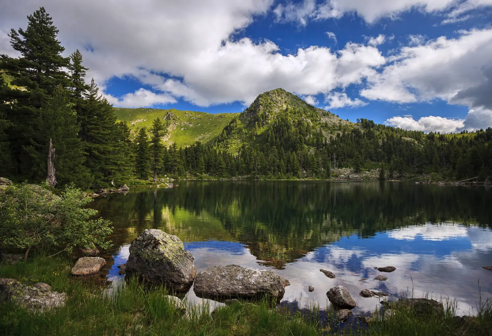
National Parks records the name “Lake of Happiness” and a legend in which mountain fairies bathed at Hridsko. It also mentions folk beliefs about bathing and throwing a coin or jewellery into the water. Preserve the story; do not copy the act. Foreign objects do not belong in a protected lake, and a legend is not a current swimming-safety or conservation rule.
Stay on marked surfaces, pack out food and litter, keep noise low, and do not disturb wildlife or move shoreline wood and stones. The park's 2025 report records restoration work across 2.4 ha of burned habitat at Hridsko, using felled fire-damaged trees to slow erosion and support planting. Recovery work may look untidy because its purpose is ecological, not decorative.
| Theme | Practice |
|---|---|
| Folklore | Fairies · happiness · wishes |
| Visitor practice | No coins or jewellery |
| Visitor practice | No fire rings or carving |
| Visitor practice | Pack everything out |
| Why it matters | 2.4 ha burned habitat under restoration in 2025 |
Source: nparkovi.me
Build a Plav and Gusinje itinerary
Base route logistics in Plav, then separate lake-hike day from valley sightseeing. Our Gusinje-to-Prokletije practical guide covers park trailheads, fees and border questions; the broader Gusinje destination guide helps place Grebaje and Ropojana in a different part of the massif.
For a lower-altitude water day, combine Lake Plav and Ali Pasha Springs rather than forcing them around a long Hridsko stage. To compare protected lake-and-forest management elsewhere, use the Biogradska Gora guide. For general trail-selection principles, see hiking in Montenegro.
Frequently asked questions
How high is Hridsko Lake?
The National Parks management plan gives 1,970 m. Some scientific publications round or measure it near 1,980 m; this guide uses the park's management figure and avoids false precision beyond it.
Is Hridsko definitely a glacial lake?
It lies in a strongly glaciated landscape and the park classifies it as glacial. A 2019 field study argues that the immediate basin formed within a relict rock glacier, giving it a periglacial mechanism. Both levels of explanation are disclosed.
How long is the hike?
That depends on the route. The measured Babino Polje–Hrid–Plav through-stage is 20.31 km and 7–8 hours. The park also names a shorter katun approach and a longer Tromeđa circuit without publishing a complete metric set on the reviewed pages.
Can I drive to the lake?
Park documents mention road repair and cycling access in the wider area, but do not provide a current ordinary-car promise to the shoreline. Verify the legal and physical road end; never assume a rough track is suitable for a rental car.
Can I swim or throw a coin for luck?
The park records those ideas as folklore. Hridsko is a strict reserve, so do not introduce coins, jewellery or other objects. No current source reviewed here establishes swimming as safe or environmentally appropriate.
Do I need a passport?
Not for a route that remains within Montenegro. Longer trails approach a sensitive international border zone; do not cross informally, and verify any planned international route and documentation with authorities in advance.