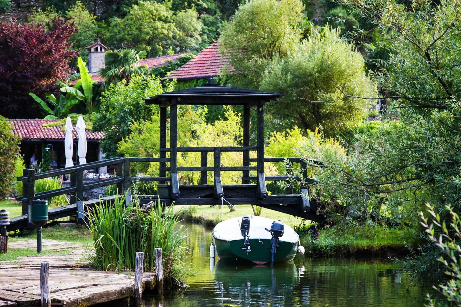
Morinj is a small inner-bay base where water shapes almost every decision. Karst springs feed the low valley, old mill sites explain the settlement’s history, and the shore is split into managed bathing areas rather than one uniform beach. The same geography also creates practical questions: is the accommodation above or below the main road, can you walk safely to the water, and does the published bus timetable work for the exact stop?
What the sources say
This 2026 guide treats “preserved nature” as something to verify, not a slogan. UNESCO records Morinj’s landscape value and development pressure; Morsko Dobro publishes current bathing-water evidence; the Municipality of Kotor publishes the transport documents; and a government hydrogeology project explains why so much fresh water emerges here.
| Trip priority | Morinj fit | Verify before booking |
|---|---|---|
| Quiet inner-bay stay | Potentially strong away from through-traffic | Exact pin, road exposure and night recording |
| Car-free touring | Possible, but timetable-dependent | Stop location, direction, return run and luggage route |
| Daily swimming | Address- and segment-dependent | Road crossing, access, newest exact-location sample |
| Old Kotor every evening | Weak if late transport is uncertain | Last practical return and taxi fallback |
| Water and heritage landscape | Strongest reason to choose Morinj | Public access, private boundaries and conservation rules |
Why Morinj has so much fresh water
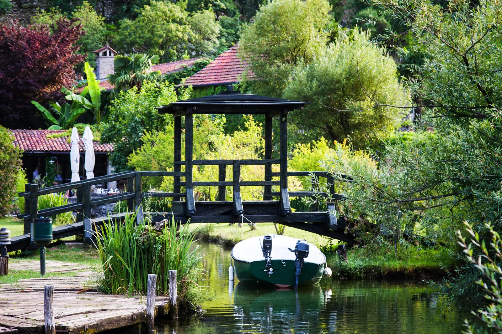
A government-hosted Water Framework project defines the Opačica–Morinj groundwater body. Its rough assessment, based on existing hydrogeological sources, reports Morinj Springs with Qmin of 1 cubic metre per second and records a tracer-test connection from the Ponikve swallow hole to the Morinj and Verige springs. This supports the freshwater landscape with hydrogeological evidence rather than wordplay about the village name.
Read the groundwater-body description within its limits. It is not a live flow gauge, drinking-water certificate, flood forecast or water-temperature report. Visible channels may be natural, modified, private or seasonally different. Never enter a channel or cross a garden because a map appears to show a route.
| Stage | Detail |
|---|---|
| Karst high ground | Ponikve |
| Tracer connection | springs |
| Rough assessment | Morinj Springs Qmin 1 m³/s |
| Visible valley water → bay | route and condition still vary |
| Caveat | Hydrogeology explains presence, not live safety or public access |
Source: wapi.gov.me, whc.unesco.org
“Preserved” means managed, not untouched
UNESCO’s World Heritage property covers the best-preserved inner part of the Bay of Kotor as an interrelated landscape of water, steep mountains, settlements and monuments. Morinj appears repeatedly in state-of-conservation material because new construction can alter those relationships. A 2014 World Heritage Committee decision encouraged controlled development in Morinj and requested Heritage Impact Assessment.
The 2018 Reactive Monitoring mission described the flat land between Morinj’s springs and streams as the valley bottom that fed its mills. The mission recommended that no further tourist development take place in that sensitive area. A 2023 state report later recorded several Morinj planning cases and the applicable landscape or settlement protection measures. These are dated conservation records, not a claim that every proposal remains active or that every parcel has the same rule.
For a visitor, the consequence is behavioral rather than abstract: use existing paths, respect closures and private boundaries, do not move stones or enter ruins, and avoid presenting a new viewpoint or stream crossing as a discovered public attraction. The companion Morinj water-and-history story adds narrative context; this guide supplies the verification layer.
| Year | Record | What it covers |
|---|---|---|
| 2014 | Committee decision | controlled implementation; heritage assessment |
| 2018 | Mission report | sensitive valley bottom; streams and mills |
| 2023 | State report | dated planning cases; protection measures |
| — | Caveat | Conservation evidence ≠ parcel-level legal advice |
Source: whc.unesco.org
Mills, sailors and the 1803 school
The Municipality of Kotor’s Morinj plan identifies old mills, churches, sailors’ houses and the school as cultural and historical assets. The National Tourism Organisation’s Bay of Kotor road brochure says Morinj once had twenty mills and that two remained when the brochure was prepared. Treat that as a published historical summary, not an inventory of buildings open today.
The education record is firmer. The Montenegrin Academy of Sciences and Arts lexicon says Morinj’s school was established in 1803 as a privately founded one-class primary school, financed by residents. It began in the home of Pavle and Andrijana Matković, entered the state-school system in 1871 and admitted girls from 1895. The municipal plan calls it the first vernacular-language school in Montenegro, but “first” depends on whether one means private, public, secular, church-linked or state schooling. The defensible story is local organization and continuity, not a universal superlative.
Use the CANU education record for the institutional chronology. A historic building is not automatically a museum. Confirm access before entering school or church grounds, and photograph people only with permission.
| Strand | Entries |
|---|---|
| School record | 1803 · resident-funded; 1871 · state system; 1895 · girls admitted |
| Mill landscape | streams powered work; tourism brochure: 20 once; two remained when written |
| Visitor check | public path? opening or service? private boundary? |
| Caveat | Chronology, survival and access are three different claims |
Source: kotor.me, leks.canu.ac.me, montenegro.travel
Gornji and Donji Morinj are not marketing labels
MONSTAT’s official settlement list records Gornji Morinj and Donji Morinj separately within Kotor municipality. The distinction matters when booking. A coastal pin can still sit across the main road from the shore; a hillside pin can add steep bends, stairs and car dependence; a low-valley address can have a very different walking environment from either.
Request the exact pin before free cancellation expires. Ask for one continuous video from the legal parking or bus stop to the entrance, then another from the entrance to the nearest usable shore access. Check road crossings, lighting, guardrails, steps, surface, slope and whether luggage can roll. “Morinj” alone is not enough location detail.
| Area | Advantage | Open questions |
|---|---|---|
| Donji Morinj | + shore and bus corridor | ? main-road crossing; ? legal parking; ? exact swim access |
| Low stream valley | + water landscape | ? private paths; ? drainage and insects; ? luggage surface |
| Gornji Morinj | + elevated setting | ? slope and bends; ? car dependence; ? walk after dark |
| Advice | Ask for the route, not a walking-time adjective |
Source: monstat.org, kotor.me
Getting there by bus: useful evidence, incomplete timing
The Municipality of Kotor’s public-transport page still links a Novo Naselje Škaljari–Kostanjica Blue Line timetable and fare matrix, both listed with an 8 July 2024 date. Morinj appears in the fare matrix between Lipci and Kostanjica. The matrix prints €2.00 between Kotor bus station and Morinj.
That is the best municipal evidence found, but it is not a 2026 guarantee. The timetable gives terminal departures, with some runs beginning at Risan, and does not print a Morinj pass-through minute. Sunday and holiday notes also alter the pattern. Use the municipal transport page, then confirm the stop, direction, fare, operating day and last practical return with the operator or Kotor station.
At the stop, photograph the sign and ask where the return service boards. A bus traveling toward Kostanjica is not the same as one toward Kotor. Build margin around a flight, ferry, restaurant reservation or separate intercity ticket. A posted terminal time cannot protect a connection from traffic through the bay.
| Document establishes | Confirm for the trip |
|---|---|
| ✓ Škaljari–Kostanjica line | ? exact Morinj minute |
| ✓ terminal departure pattern | ? 2026 fare and operation |
| ✓ Morinj in fare matrix | ? Sunday / holiday pattern |
| ✓ printed Kotor fare €2.00 | ? final return and stop side |
| Confirm before committing to a timed connection | The PDFs remain published; their listed date remains 2024 |
Source: kotor.me
Driving, unloading and parking
Morinj sits on the through-road around the inner bay, where bends, buses, pedestrians and driveways share limited space. Do not rely on a fixed drive duration from Kotor, Herceg Novi or Dubrovnik. Traffic, the ferry choice, border conditions, roadworks and the final property approach can dominate the journey.
Ask the host to distinguish a reserved private space from roadside availability. Obtain a photograph, dimensions, access direction and unloading procedure. Check whether the car can turn without reversing into traffic and whether re-entry is practical at busy hours. For the international approach, the Dubrovnik-to-Kotor transport guide explains the border corridor; the Kotor–Dubrovnik comparison helps decide which side should be the base.
Morinj beach is managed in segments
Morsko Dobro’s Kotor register names Morinj 3A and Morinj 3C separately. That means “Morinj beach” is not one operating contract. Equipment, free-use space, services, operator, access and maintenance can differ by segment. Ask for the managed-area code or the nearest fixed landmark rather than relying on a beach name alone.
| Segment | What to check |
|---|---|
| 3A | Verify at the exact segment |
| 3C | Verify at the exact segment |
| Checklist | access · free area · rental area · lifeguard · toilets · price · newest sample |
| Caveat | A register identifies management—not the live condition of the shore |
Source: morskodobro.me
Check bathing water by location and date
For samples taken 17–21 August 2026, Morsko Dobro reported that Kotor municipality had seven monitored locations rated excellent, five good and three satisfactory. That is useful context, but it does not reveal which category belonged to Morinj. The same announcement directs readers to the location-level monitoring application.
Historical results show why precision matters. Morsko Dobro’s 2024 season report records Morinj’s ten samples as four excellent, three good and three satisfactory. Do not use that old sequence as a 2026 label. Open the live bathing-water portal, select the exact location and read the newest sampling date.
Then make an on-site decision. Inspect visibility, debris, odor, surface runoff after rain, boat traffic, entry and exit, warnings and rescue equipment. Springs do not guarantee sanitary quality, and a municipal average does not answer a segment-level question.
| Step | Check |
|---|---|
| 1. Locate | 3A or 3C? fixed landmark? |
| 2. Sample | newest date; exact location |
| 3. Inspect | runoff · odor; craft · entry |
| 4. Confirm | warning flag; rescue equipment |
| Caveat | Freshwater presence is not a sanitary certificate |
| Note | 2024 variation explains the method; the live portal supplies the decision |
Source: morskodobro.me, monitoring.morskodobro.me
Where to stay in Morinj
Choose the shore corridor for the shortest access to the bus and water only if the road crossing is acceptable. Choose the low stream area for the water landscape only after confirming public access, drainage, insects, humidity and the route at night. Choose Gornji Morinj for an elevated setting only if the property’s slope, approach and parking fit every traveler.
Ask for bedroom-facing audio, not a generic property video. Confirm air conditioning, blackout, mosquito screens, potable-water source, wastewater arrangement, power backup and mobile signal if these affect the stay. None of those conditions can be inferred from greenery or a bay view.
If easier evening movement matters more than seclusion, compare a more connected base on the Risan–Perast–Kotor route. For a different quiet-coast tradeoff, the Njivice guide and Dobreč access guide make useful contrasts.
A low-friction three-day plan
Day one: arrive in daylight, locate both bus directions, walk the legal route to the shore, identify 3A or 3C and verify visitor registration with the host. Do not schedule a timed dinner before the access route is understood.
Day two: check the newest exact-location water sample, swim only after an on-site inspection, and explore Morinj’s existing public paths without entering private mill or school grounds. If dining at a private venue is important, confirm hours, reservation, cancellation, dietary needs and transport directly.
Day three: use a confirmed bus, taxi or car plan for Risan and Perast, then return before the last uncertain connection. The inner-bay day guide gives the sequence. If Morinj is one stop in a longer circuit, fit it into the seven-day Montenegro itinerary rather than adding backtracking.
| Day | Focus | Checks |
|---|---|---|
| Day 1 · Orient | Arrival basics | stop direction; shore route; segment code; night access |
| Day 2 · Local | Water and paths | newest sample; on-site swim check; public paths; confirmed reservation |
| Day 3 · Inner bay | Travel out | confirmed transport; Risan + Perast; return margin; backup taxi |
| Rule | Do not spend the first evening solving the last-mile route |
Source: kotor.me, monitoring.morskodobro.me, whc.unesco.org
Frequently asked questions
Is Morinj inside the UNESCO World Heritage area?
UNESCO conservation documents treat Morinj development as affecting the Natural and Culturo-Historical Region of Kotor and record landscape-protection measures there. That does not mean every Morinj building is an individually listed monument.
Why are there so many streams in Morinj?
A government hydrogeology project documents the Opačica–Morinj groundwater body, Morinj Springs and a tracer connection from Ponikve. The baseline explains water abundance but does not certify live flow or water safety.
Can I reach Morinj by local bus?
The Municipality of Kotor publishes a Škaljari–Kostanjica timetable and fare matrix that includes Morinj. Both are listed with a 2024 date, and no Morinj pass-through time is printed. Confirm current operation and the exact stop before relying on it.
How much is the bus from Kotor to Morinj?
The municipality-posted fare matrix prints €2.00 between Kotor bus station and Morinj. Treat it as the value on that 2024 document and confirm the current fare when boarding.
Is Morinj Beach one beach?
Morsko Dobro separately lists Morinj 3A and 3C. Verify the exact segment, free-use area, equipment terms, access and newest water sample.
Is the water always clean because of the springs?
No. Groundwater presence and sanitary bathing-water classification are different questions. Use the newest exact-location Morsko Dobro sample and inspect current conditions.
Was Morinj’s school the first in Montenegro?
Academic and municipal sources confirm a resident-funded vernacular-language school established in 1803. “First” varies with definitions of private, public, secular and state education, so this guide does not claim an uncontested national rank.
Should I stay in Gornji or Donji Morinj?
Choose by route. Donji Morinj may simplify shore and bus access but can involve the main road; Gornji Morinj may add slope and car dependence. The exact property pin decides.
What is the easiest day trip?
Risan and Perast form the lowest-friction inner-bay pairing when transport is confirmed. Herceg Novi is another option; the Literary Topla guide gives one focused walk there.
Methodology and source limits
This guide was checked on 30 August 2026 against UNESCO’s property record, Committee decision, 2018 mission and 2023 state report; Municipality of Kotor planning and public-transport documents; the government Water Framework project; Morsko Dobro’s managed-area register, current portal, latest 2026 announcement and 2024 season report; MONSTAT’s settlement list; the CANU education lexicon; and the National Tourism Organisation’s Bay of Kotor brochure.
Dates remain visible because institutional roles differ. UNESCO documents landscape conservation, not bus service. The municipality publishes route documents, not a Morinj bathing classification. Morsko Dobro manages bathing evidence, not private stream access. Hydrogeology explains groundwater, not the sanitary condition of the sea.
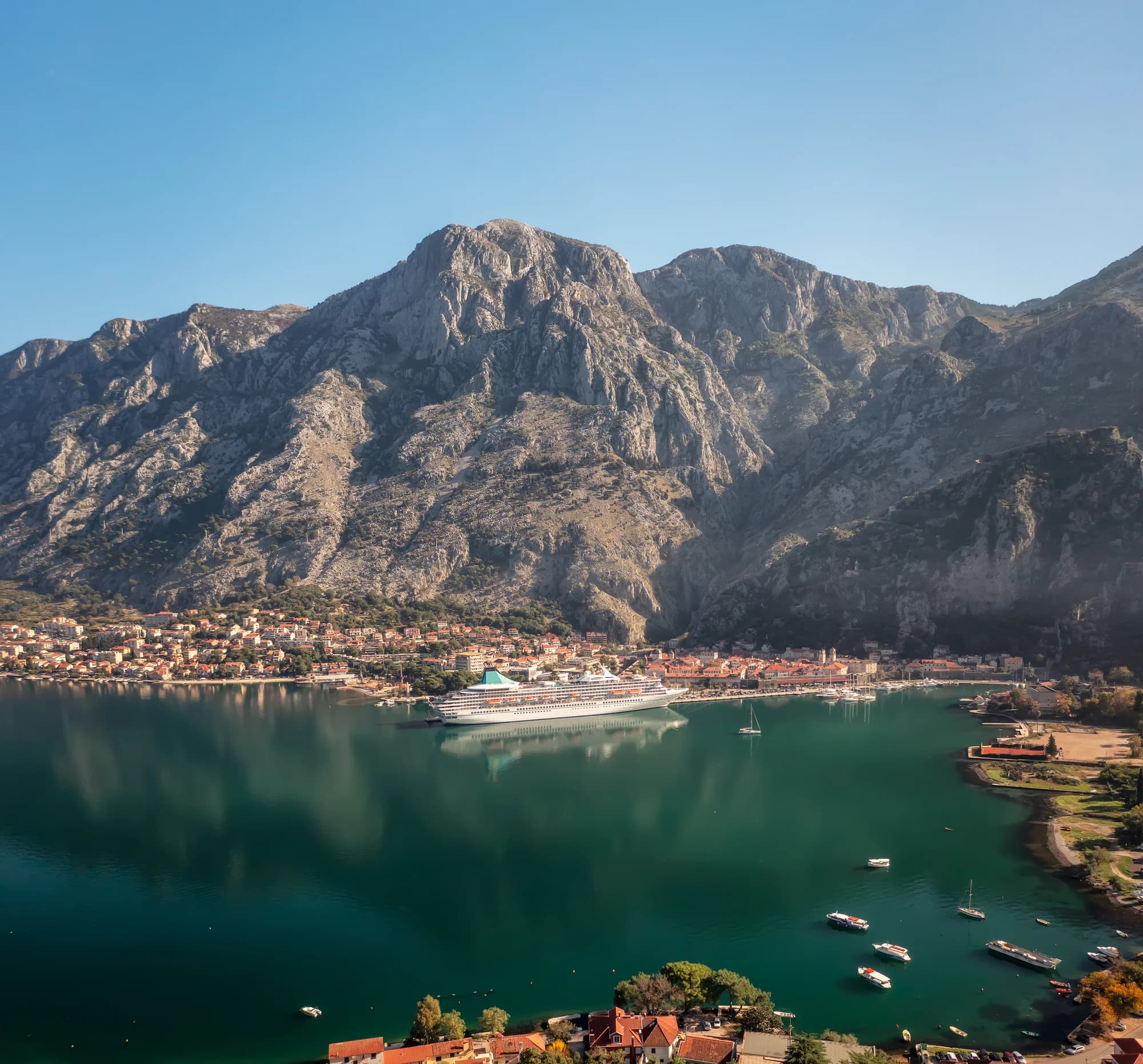
The inherited “best camping,” “best restaurant,” fixed distance and universal natural-purity claims were removed. The 1843 library claim was not repeated without a directly checked institutional record. One licensed photograph is used only for visible landscape features; all changing decisions are carried by primary records and source-linked diagrams.