Morinj is more than a quiet Bay of Kotor stop: springs, streams, stone bridges, watermills and terraced hamlets reveal a cultural landscape built around the meeting of mountain water and sea.
From the ArchivesUpdated Originally published 29 min readby Alex Obradovic
Morinj is where the Bay of Kotor stops behaving like a dry Mediterranean coast. Freshwater rises beneath the mountains, crosses a green alluvial field and reaches the sea through a web of short streams. Stone bridges, mill buildings, terraced plots and scattered churches record how generations adapted to that abundance of water. The village is small, but its landscape explains an entire way of living around the bay.
Most visitors encounter Morinj on the coastal road between Risan and the Kamenari ferry, at the head of a shallow inlet on the northern shore of the Bay of Kotor, between Risan and the Verige Strait. It can seem like a brief patch of shade and water glimpsed between larger destinations. A slower visit reveals something more consequential: a settlement whose natural systems and built heritage still read as one composition, and whose permanent population of just a few hundred supports a reputation far exceeding its size. Morinj is widely considered one of the finest places to eat seafood in all of Montenegro, and visitors from across the bay and beyond make pilgrimages here specifically for the dining experience.
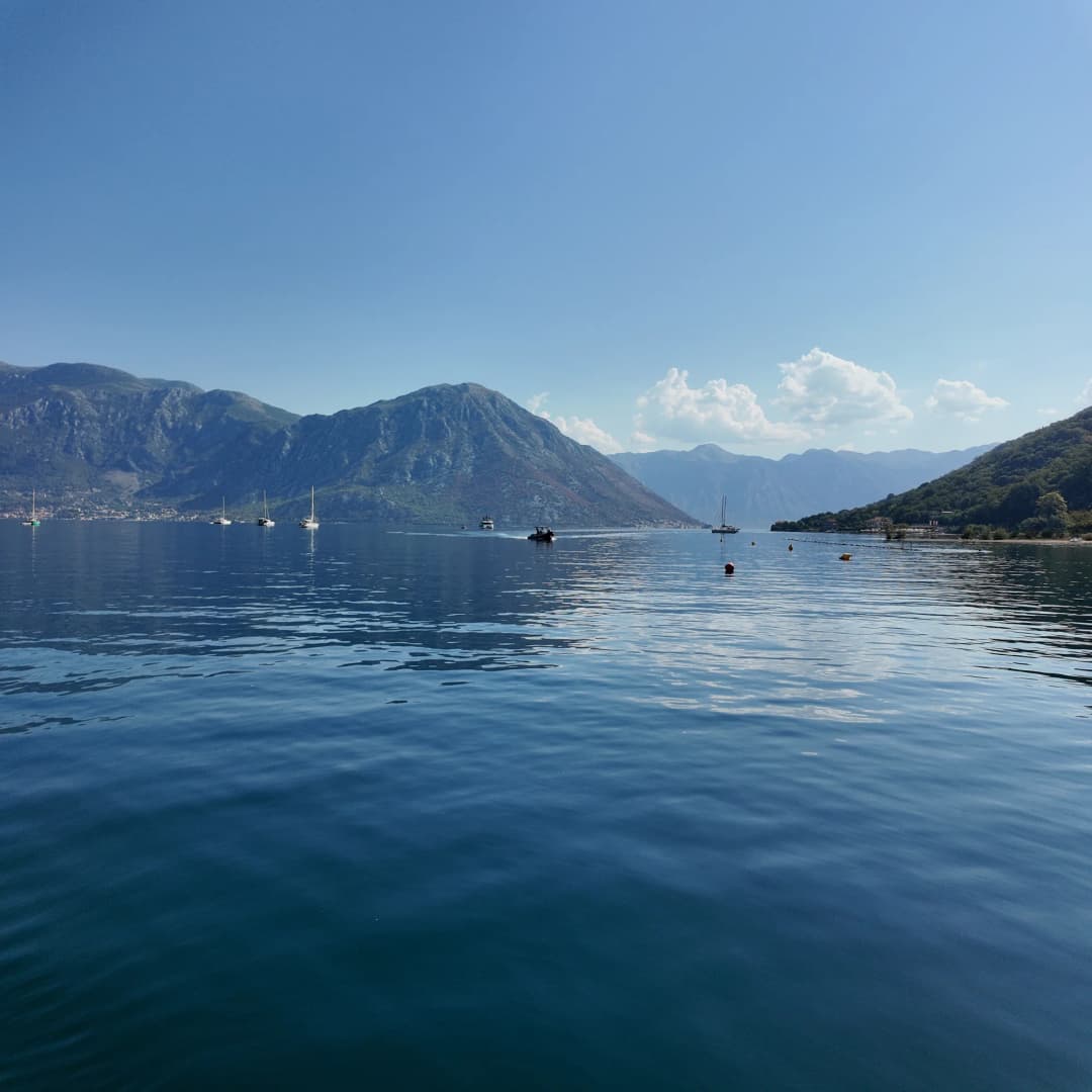
That combination — gastronomy, a powerful freshwater landscape, mussel and oyster farms floating offshore, a modest pebble beach and the ruins of a Roman villa — makes Morinj one of the most rewarding half-day or full-day excursions on the Bay of Kotor, and for those who stay overnight, one of the most peaceful places to sleep on the entire Montenegrin coast.
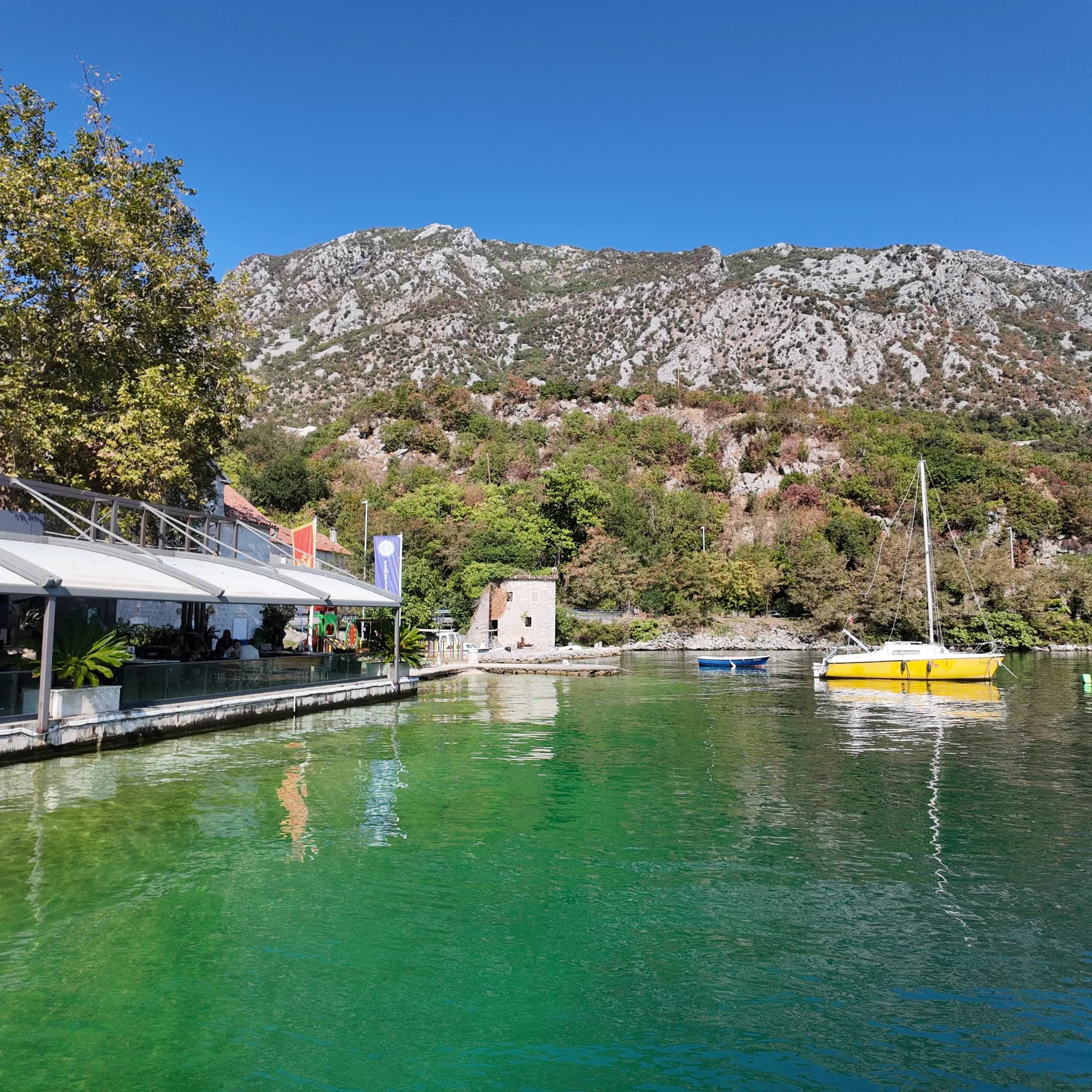
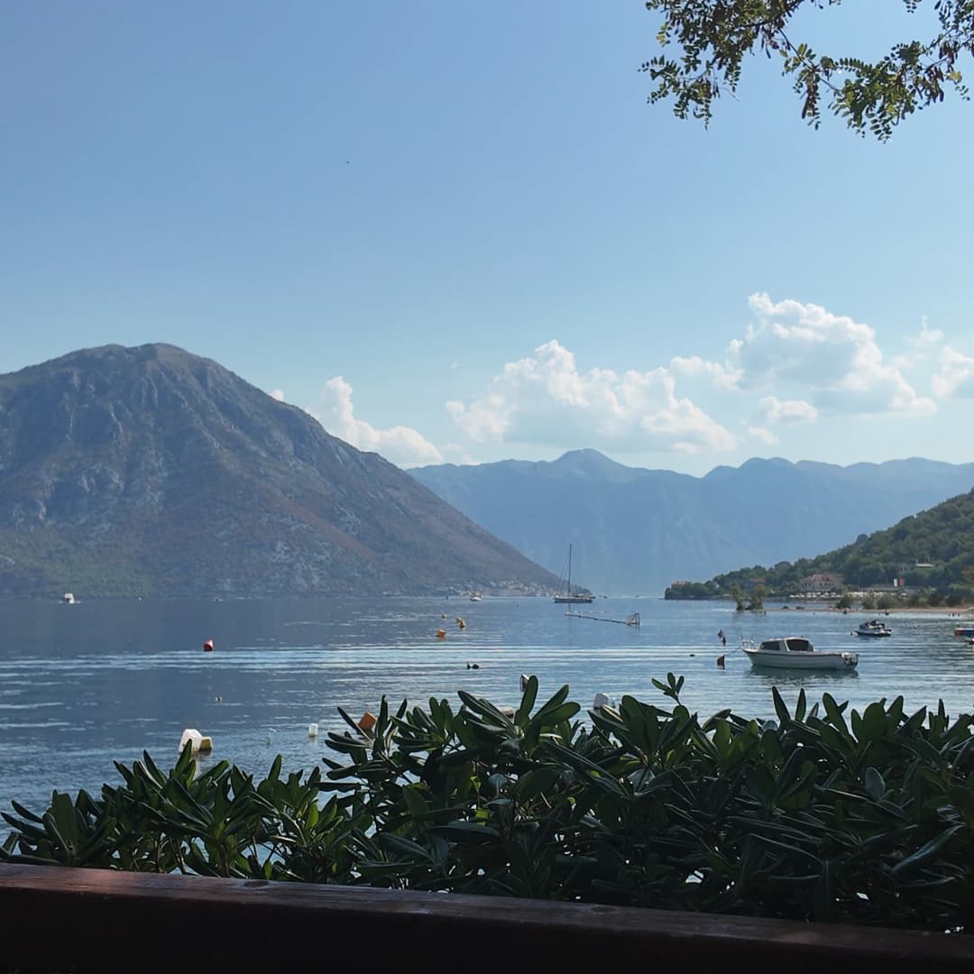
Morinj's defining landscape is the meeting of freshwater, cultivated ground and steep mountain walls. Montenegro.com licensed archive image.
The village that water built
An official study of cultural properties in Kotor municipality describes Morinj's greatest value as the quality of a landscape formed through centuries of interaction between people and nature. The study records many freshwater springs feeding a short river through Morinjsko Polje, or Morinj Field, with mills constructed along its course. That evidence matters because it moves the village beyond picturesque description: water determined where people built, worked, crossed and cultivated.
The village is built around the estuary of the Morinj Stream (Morinjska Rijeka), a crystal-clear waterway that flows from a powerful karst spring at the base of Mount Orjen. This freshwater spring, one of the strongest in the region, feeds a green landscape of willows, watercress beds and stone mill houses that gives Morinj a character quite unlike the drier Mediterranean villages elsewhere along the bay.
The contrast with the rockier shores of the bay is immediate. Reeds and water-loving plants gather around channels. Poplars and dense garden vegetation interrupt the usual sequence of stone walls and exposed slopes. Behind the lower settlement, Gornji Morinj rises through hamlets and terraced parcels supported by dry-stone walls. The heritage study notes roads paved in stone, arched bridges over streams, and yards organized around the terrain rather than imposed upon it.
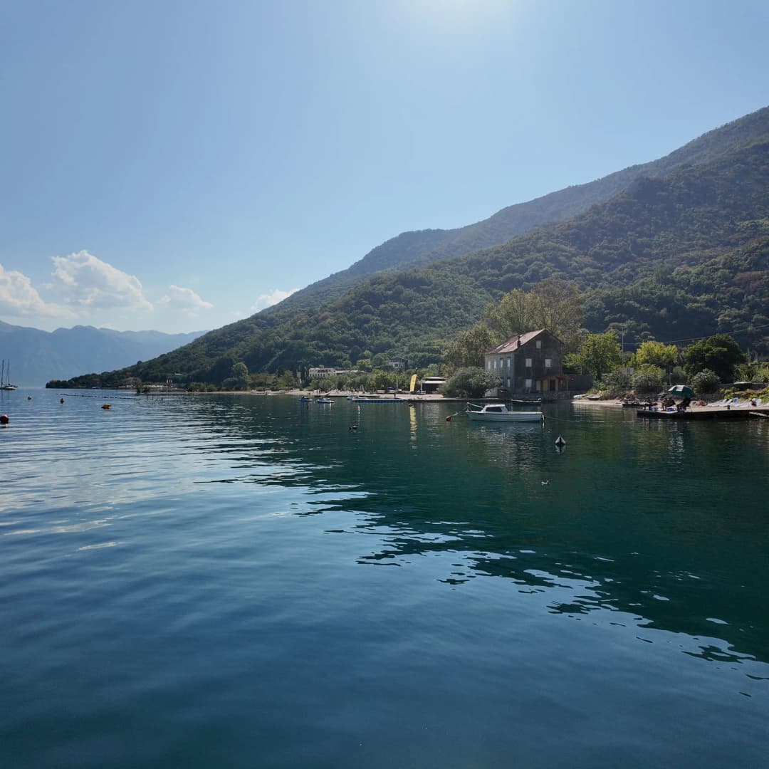
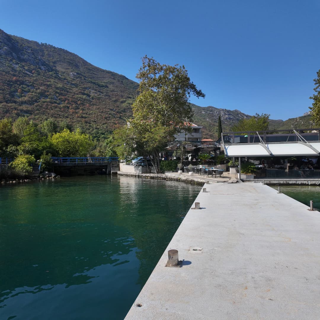
Freshwater channels and wet ground give lower Morinj an unusually lush character for the Montenegrin coast. Montenegro.com licensed archive image.
Visiting the karst spring
The Morinj Spring (Vrelo Morinj) is a powerful karst spring where water emerges from the base of the mountain in a clear, abundant flow that maintains a remarkably consistent temperature year-round. It feeds the stream that runs through the village and creates a lush microclimate of green vegetation in contrast to the surrounding grey limestone hills. The spring area is accessible on foot via a path that follows the stream upstream from the village, and it is a refreshing destination on a hot summer day — the water temperature hovers around 10–12°C even in August. The geological phenomenon of such a strong spring so close to the coast speaks to the immense volume of water absorbed by the porous limestone of Mount Orjen.
Visit early in the morning for the most serene experience and the best photographs; the light filtering through the trees is particularly beautiful before 9 AM. Follow the public path and treat gates, gardens and working premises as private, whatever an online map may suggest.
Why the mills belong to a larger system
Morinj's mills were working infrastructure, not decorative follies. The powerful karst spring made this one of the few places on the bay's northern shore with a reliable year-round water supply, which in turn supported the construction of water mills for grinding grain. Water power connected the mountain catchment to grain and olive processing, while paths and bridges connected upper hamlets with the shore. At various times, Morinj's mills served not only the village itself but also the wider bay community, with grain brought by boat from other settlements.
Some commercial accounts give an exact historical total for the mills, but the authoritative heritage material reviewed for this article confirms the system without establishing that number in its settlement summary. The defensible conclusion is that milling was a defining local activity; the precise peak count needs stronger archival support.
One adapted mill complex survives as a prominent hospitality business. Its own history says the family mills operated for more than two centuries, processing grain and olives. That is useful site-specific testimony, but it should not stand in for the history of every mill in Morinj. Read the surviving structures as parts of a productive waterscape: channels, thresholds, retaining walls, work buildings and domestic spaces were interdependent. The stone mill complex that survives today — and which forms the setting for the village's famous restaurants — represents the culmination of centuries of milling activity, carefully restored in the late 20th century.
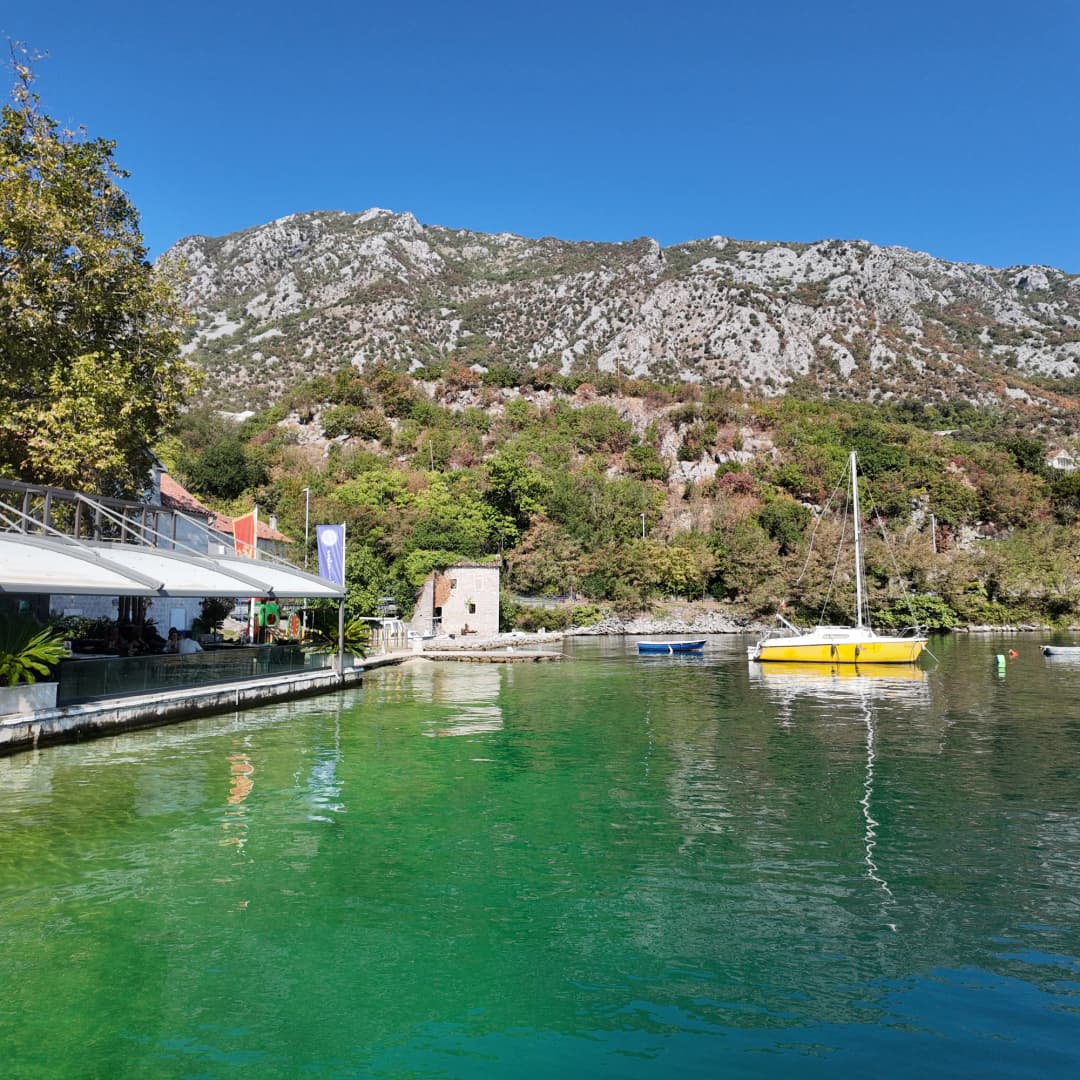
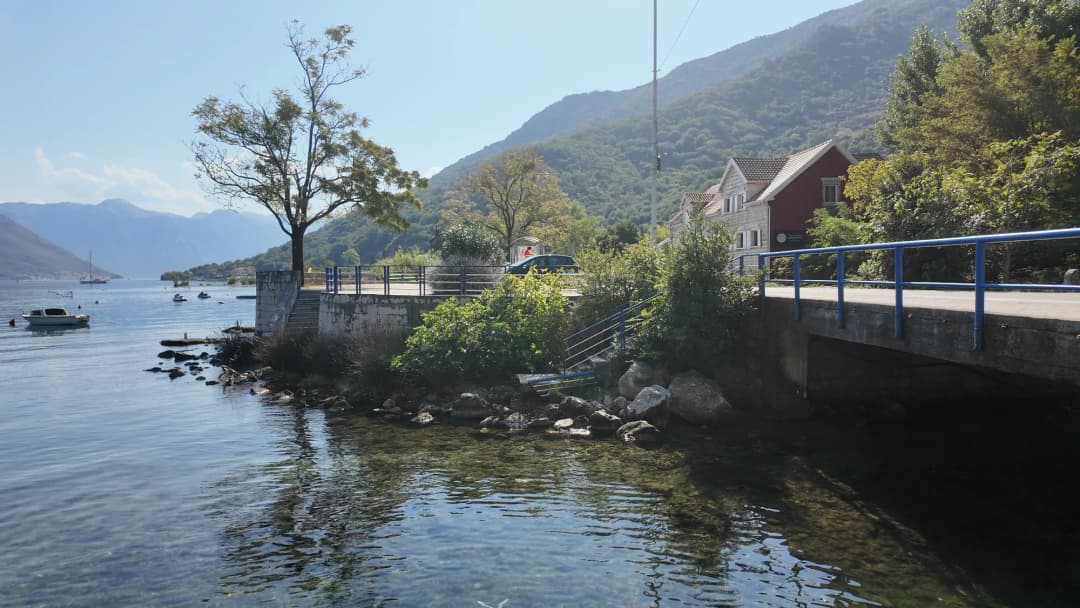
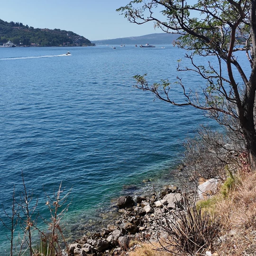
Bridges are not incidental decoration in Morinj; they are part of the circulation network created around springs and mill channels. Montenegro.com licensed archive image.
Morinj inside the Kotor cultural landscape
The Natural and Culturo-Historical Region of Kotor was inscribed on the World Heritage List in 1979. UNESCO defines its significance through the relationship between fortified and open settlements, palaces, churches, terraced slopes, roads and the sea. A 2012 ICOMOS evaluation explicitly listed Morinj among the settlements covered by the property's mapped historic landscape. That does not mean every house is a museum or every later building is individually protected. It means the settlement contributes to a cultural landscape whose value depends on relationships and views as much as individual monuments.
This distinction is important for travelers and developers alike. UNESCO's 2014 decision called for controlled development in Morinj, Kostanjica and Glavati and requested heritage-impact assessment. In 2021, the committee again referred specifically to a proposed Morinj accommodation complex and asked that alternatives avoiding harm to Outstanding Universal Value be considered. These are not abstract planning disputes. A large building, altered shoreline or lost terrace can weaken the spatial logic that makes the bay legible.
The wider Kotor cultural landscape is understood through relationships among water, islands, settlements and mountain slopes. This view is near Perast, not Morinj. Montenegro.com licensed archive image.
A village inside a bay-wide heritage system
Scale
Item
Figure
Protected landscape scale
Property area
14,600 ha
Morinj inventory in the state heritage study
Cultural properties
4
Morinj inventory in the state heritage study
Potential properties or ensembles
8
UNESCO World Heritage Centre and Kotor cultural-property study
A field guide to Morinj's heritage
The state heritage study lists four cultural properties in Morinj: the Church of St Petka in Bunovići; the building associated with the first school in the vernacular at Svrčak; the house of Duke Toma Milinović in Donji Morinj; and the Čardak of St Petar, a tower. It separately identifies potential properties and ensembles, including mills, Svrčak, the Pjaca and its residential street, the Vojvodići complex with two mills, and several churches.
Two cautions follow. First, an inventory is not an opening-hours list. Some places are religious buildings, private property, ruins or working premises; admire them from public routes unless access is clearly offered. Second, “potential cultural property” records professional heritage value but does not mean the same thing as a final statutory designation. The difference should remain visible in any responsible visitor guide.
How to interpret Morinj's documented cultural landscape
Layer
Evidence in the heritage study
What to notice responsibly
Water
Springs, a short river, channels and mill sites
Flow paths, ponds and the relationship between buildings and streams
Movement
Stone roads and arched bridges
Use public lanes; do not enter private yards for photographs
Agriculture
Terraced parcels, dry-stone walls and small fields
Look uphill from lower Morinj to read the historic land pattern
Architecture
Rural houses, summer residences, churches, mills and defensive forms
Compare materials and scale rather than expecting one uniform style
Heritage status
Four cultural properties and eight potential properties or ensembles
Do not assume every recorded place is publicly accessible
Donji Morinj and Gornji Morinj
Lower and upper Morinj are one spatial system but offer different experiences. Donji Morinj holds the coastal road, waterfront, wet field and most obvious visitor services. Gornji Morinj extends into hamlets including Bunovići, Bakoči, Dragomanovići, Lučići, Bekani and Svrčak, according to the heritage study. There, traditional parcels follow slopes, streams and roads. It is a dispersed inhabited landscape, not a signed attraction trail.
A demographic snapshot helps explain the scale. MONSTAT's 2011 census counted 222 residents, 84 households and 242 dwellings in Donji Morinj. The published cells for tiny Gornji Morinj were suppressed under statistical-confidentiality rules. These figures are historical evidence, not a current headcount, but they show why visitor pressure and second-home development can have an outsized effect on a small resident community. The more recent 2023 figures are set out further down this page.
Things to see and do
Explore the Roman villa ruins
Near the village, the remains of a Roman villa testify to Morinj's long history of human habitation. The site includes foundations, partial wall structures, and fragments of mosaic flooring. While modest compared to the famous Roman mosaics at nearby Risan (a ten-minute drive), the ruins are interesting as evidence of Roman settlement along the Bay of Kotor and provide context for Morinj's appeal across millennia. A small information panel at the site provides historical background.
See the mussel and oyster farms
The floating mussel and oyster farms in Morinj's inlet are a distinctive feature of the village's waterfront. The farms consist of long lines of buoys from which shellfish grow suspended in nets, taking advantage of the nutrient-rich waters where the spring meets the sea. Some local producers sell directly from their boats or from waterfront stalls, and the restaurants source much of their shellfish from these nearby farms — meaning the mussels and oysters on your plate may have been harvested just hours before serving. Ask at the restaurants about visiting or buying directly from the farmers.
Hike toward Mount Orjen
Mount Orjen, rising to 1,894 metres behind Morinj, is one of the wettest mountains in Europe and supports a unique ecosystem of Mediterranean and alpine vegetation. Trails from the Morinj area lead uphill through forests of holm oak and beech, with increasingly dramatic views as you gain elevation. While a summit attempt requires serious hiking preparation, early starts, and ideally a local guide, shorter walks on the lower slopes reward visitors with magnificent views over the bay and the surrounding mountains. The spring and early autumn months are best for hiking, when temperatures are comfortable and the vegetation is at its most colourful.
Kayak the inlet
The calm, sheltered waters of Morinj's inlet are ideal for sea kayaking. Paddle along the shore, past the mussel farms, and out into the wider bay for views back toward the village and the mountains beyond. Several kayak rental operators are based in the bay area, and guided tours sometimes include Morinj as a stop. The morning hours, before the afternoon breeze picks up, offer the best paddling conditions.
Swimming, food and seasonal reality
The village has a pleasant pebble beach at the head of its inlet, where the shallow water warms quickly in summer due to the inlet's enclosed geography. The beach is small and low-key, with no commercial facilities beyond a simple seasonal beach bar — bring your own towels and be prepared for a refreshingly uncommercial experience. Morinj's waterfront is attractive precisely because cold freshwater reaches the bay here, and the presence of spring water makes the temperature variable: cooler near the stream outlet, warmer further along the shore, and often cooler close to the outflows than at more exposed beaches. The character of the shore changes with water level, weather, seasonal services and the number of parked cars. Arrive early in summer, keep access lanes clear and do not promise yourself an empty beach based on an off-season photograph.
The village's reputation for food is anchored in the same mill landscape, and dining here is genuinely one of the highlights of any Bay of Kotor visit. The restaurants, set among restored stone mill buildings beside the clear-running stream, offer some of the finest seafood dining on the Adriatic. Fresh fish, mussels, oysters, prawns and octopus are prepared with skill and served in settings of extraordinary beauty — stone terraces shaded by centuries-old plane trees, with the sound of rushing water as background music. The combination of a morning swim followed by a long seafood lunch is the quintessential Morinj experience.
Catovica Mlini is Morinj's most famous restaurant and one of the best-known dining establishments in all of Montenegro. Set in a lovingly restored stone mill complex beside the stream, it specialises in fresh Adriatic seafood, house-made pasta and grilled fish, accompanied by excellent Montenegrin wines. The terrace tables beside the water, shaded by ancient plane trees with dappled sunlight filtering through the leaves, create a dining setting of almost magical beauty. Signature dishes include the seafood platter, the black risotto with cuttlefish ink, and the grilled orada (sea bream). Expect to pay 25–40 euros per person for a full meal with wine. Reservations are essential in summer, especially for dinner and weekend lunch — book several days in advance during July and August.
Other restaurants in the immediate vicinity also draw on the village's abundant fresh seafood supply and offer excellent dining at somewhat lower prices. The mussels and oysters, harvested from the bay just offshore, are particularly recommended — try them na buzaru (cooked in garlic, white wine, and breadcrumbs) for a true taste of the Boka Kotorska culinary tradition. Local accompaniments include fresh bread, seasonal salads, and Montenegrin wines from the Plantaze and Savina estates. Whichever place you choose, book directly with the business and verify current opening days rather than relying on an old guide.
Best time to visit
Morinj is a year-round culinary destination — the restaurants operate through most of the year, with only the deepest winter months seeing reduced service. For swimming combined with dining, visit between June and September. The spring and autumn months are particularly pleasant for a quieter visit, and the village's green landscape remains lush throughout the year thanks to the constant flow of the spring. Note that Mount Orjen behind Morinj produces heavy rainfall in winter and spring — Morinj receives significantly more rain than the southern shore of the bay, which keeps the landscape green but means you should pack a waterproof jacket if visiting between November and April.
Our dedicated Morinj practical overview, our complete Morinj travel guide and the feature on the Kamenari–Morinj shore provide complementary context. The broader lesson is that Morinj's hospitality makes most sense when it retains the water, vegetation and modest building scale that created the setting.
Where to stay
Morinj has approximately 3 properties on montenegro.com, offering a chance to immerse yourself in this remarkable village for more than just a meal. Staying overnight allows you to experience the village in the quiet of the morning and evening, when the day-trippers have left and you have the waterfront and stream largely to yourself. Accommodation is typically in renovated stone houses or modern apartments with terraces overlooking the inlet. The early morning light on the bay, the sound of the stream, and the utter stillness of a Morinj evening make overnight stays here deeply restorative. The address-verification method set out later on this page matters more here than the destination label on a booking platform.
Nearby places: choose by contrast
Morinj works well as a quiet base because several very different bay settlements are close enough for half-day trips. Risan offers deeper archaeological history, famous Roman mosaics and a broader waterfront; start with our Risan guide. Perast concentrates baroque architecture, island churches and boat traffic into a compact shoreline; our Perast guide explains how to visit without treating it as a quick photo stop. Both are within 10 minutes' drive. Kotor supplies the fortified urban climax; use the complete Kotor guide to plan around crowds and heat.
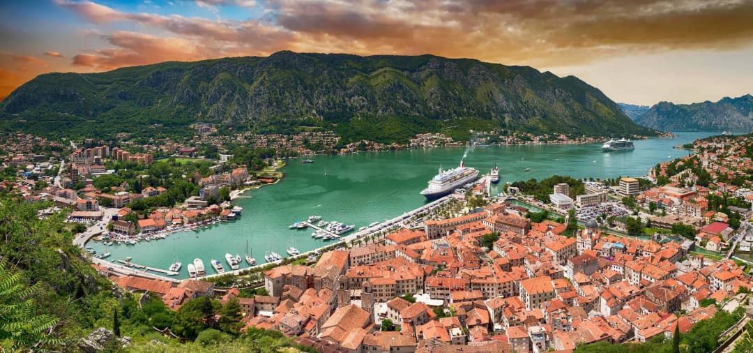
Nearby Risan anchors the western inner bay and makes a useful archaeological counterpoint to Morinj. This photograph shows Risan, not Morinj. Montenegro.com licensed archive image.Kotor offers the fortified urban experience that Morinj deliberately does not. This photograph shows Kotor, not Morinj. Montenegro.com licensed archive image.
Practical planning: getting there and moving carefully
Morinj lies on the bay road between Risan and Kamenari. From Tivat Airport, the drive takes approximately 20 minutes via the Kamenari–Lepetane ferry crossing, or about 40 minutes via the longer coastal road through Kotor and Perast. From Podgorica, allow about 90 minutes via the highway and then the winding descent to Risan. From Herceg Novi, the drive takes about 30 minutes along the northern bay road.
Driving gives the most flexibility, but the coastal carriageway is narrow in places and summer congestion can make short distances slow. Park only in marked or clearly permitted areas; never block household access, bus stops or the lanes beside water channels. Buses on the Kotor–Herceg Novi route stop on the main road near Morinj, though service is less frequent than along the southern shore. If arriving by bus, use the Municipality of Kotor's transport page to find the latest dated operator schedule and confirm that the service stops in Morinj. Do not assume a timetable copied from a previous summer remains valid.
Water taxis from other bay settlements are also an option during summer — arriving by boat and pulling up to the waterfront near the restaurants is a particularly enjoyable way to visit, and some restaurants will arrange boat pick-up for dinner guests.
Most of lower Morinj can be understood on foot and the village is entirely walkable, but surfaces may be uneven, wet or shared with vehicles. Wear shoes with grip around streams and old stone. Upper-hamlet exploration requires more time and sensitivity: routes can be steep, signage limited and property boundaries unclear. Ask locally before following an unsigned lane, carry water and return before dark. Mobile navigation is useful for orientation but should not be treated as permission to cross private land.
A low-impact half-day plan
Begin in the morning with a slow walk through the freshwater landscape, using public paths to observe bridges, channels and the relationship between stone buildings and water. Continue to the shore before midday, then eat locally or travel a few minutes to Risan. If conditions are calm, finish with a swim; if the beach is crowded, use the afternoon for the bay's cultural circuit instead. The combination of Morinj for lunch, Perast for the afternoon and Risan for the Roman mosaics makes for one of the best day trips on the Bay of Kotor. The objective is not to collect every church or mill as a sight, but to understand the system connecting them.
Practical tips
Book your restaurant table in advance during summer — Catovica Mlini can fill up days ahead, especially for weekend dinners. Call directly rather than relying on online booking.
Visit the spring early in the morning for the most serene experience and the best photographs — the light filtering through the trees is particularly beautiful before 9 AM.
Morinj is an excellent starting point for exploring the northern shore of the bay — Risan (with its famous Roman mosaics) and Perast (with its island churches) are both within 10 minutes' drive.
Bring insect repellent in summer — the stream and vegetation attract mosquitoes in the evening, particularly near the waterfront.
The village has no ATM or significant shops. Bring cash (many restaurants accept cards, but not all) and purchase supplies beforehand in Herceg Novi or Kotor.
If arriving by car, parking is available along the road near the restaurants, but spaces are limited during peak dining hours. Arrive early for lunch or consider coming by boat.
The combination of Morinj for lunch, Perast for the afternoon, and Risan for the Roman mosaics makes for one of the best day trips on the Bay of Kotor.
Start with the official three-name split
What the sources say
MONSTAT’s 2023 settlement list assigns code 205346 to Gornji Morinj and 205419 to Donji Morinj. A Government of Montenegro rural-development document also lists Bunovići, code 213853, separately within Kotor municipality. These are not marketing subareas created by accommodation platforms.
The distinction changes the first booking question. Ask the host to write the official settlement, street or cadastral locality, then send the exact entrance pin—not the center of a broad map label. Request a continuous approach video from the public road to the legal parking or pedestrian entrance. If the host’s written address, map pin and arrival instructions point to different places, resolve that before the cancellation deadline.
One destination label, three official settlement names — settlement code ≠ property entrance or visitor route
Settlement
Code
Role
Donji Morinj
205419
low settlement name
Gornji Morinj
205346
upper settlement name
Bunovići
213853
separate settlement
Source: monstat.org, wapi.gov.me
Read the 2023 census without guessing
What the sources say
The two MONSTAT workbooks provide the strongest quantitative distinction. The population-by-settlement workbook records 207 residents in Donji Morinj: 102 male and 105 female. The household workbook records 89 households. Those figures are census observations, not a count of guestrooms, restaurants, parking spaces or people present in August.
Gornji Morinj’s population, sex and household cells contain the symbol z. MONSTAT’s footnote defines it as protected data: frequencies below 10 receive primary protection, and other values can receive secondary protection to prevent indirect identification. The correct reading is “not published,” not zero and not an exact estimate. Even “below 10” cannot safely be assigned to every protected field because secondary protection also applies.
The spreadsheet analysis was read-only and row-specific: Donji Morinj’s population row, Donji Morinj’s household row, the corresponding Gornji Morinj rows, headers and MONSTAT’s disclosure-control footnote were checked together. This matters because a copied search snippet can show the letter z without explaining it.
Published counts and protected cells are different evidence — census size does not describe visitor services or current occupancy
Settlement
Population
Male / female
Households
Donji Morinj
207
102 / 105
89
Gornji Morinj
z — protected data
do not convert to zero
z — protected data
Source: monstat.org
Turn an accommodation pin into an access file
A practical Morinj booking needs five pieces of address evidence: the written official settlement; exact entrance coordinates; a day approach video; a night approach video; and a parking or final-walk description. Ask whether the route includes an unsigned turn, narrow meeting point, reversing section, stair, unguarded edge, seasonal surface or private gate.
For Donji Morinj, add the main-road crossing and shore route. “Near the sea” does not reveal which side of the road the entrance occupies or whether a continuous footway exists. For Gornji Morinj, add road width, oncoming-vehicle strategy, turnaround and the final gradient. For Bunovići, treat the whole journey as a separate access question rather than an extension of a casual village walk.
Do not use the inherited fixed distance from Kotor or a universal walking time. The Bay of Kotor guide explains the wider road geography; the Risan–Perast–Kotor day guide is the better source for sequencing inner-bay stops. Neither can replace the final property approach.
A destination pin becomes useful through five checks — resolve mismatched pin, address and instructions before cancellation
Check
What to confirm
1 · Name
official settlement
2 · Pin
legal entrance
3 · Road
continuous video
4 · Finish
parking or walk
5 · Time
day · night · weather
Source: monstat.org, kotor.me
What the 2025 Gornji Morinj roadwork proves
On 18 July 2025, Kotor municipality reported a partial resurfacing project toward Gornji Morinj: 500 metres, about 1,500 square metres, with a four-centimetre leveling and wearing asphalt layer. The work is useful evidence that an upper road section exists and received a documented intervention.
The operative word is partial. The notice does not certify the complete route in 2026. It gives no universal width, passing-place, parking, drainage, edge protection, snow, debris, visibility or vehicle-clearance guarantee. Do not convert “500 metres improved” into “easy drive to every Gornji Morinj address.”
Ask the host which part of the approach was resurfaced and whether the booked entrance lies beyond it. Request a current video after heavy rain if drainage or loose material could affect the final approach. If the driver is uncomfortable reversing on a narrow road, say so before booking and require a demonstrated turnaround.
A documented section is not the complete approach — full route · width · parking · drainage remain unverified
Reported item
Value
Resurfaced length
500 m
Reported area
≈ 1,500 m²
Reported layer
4 cm
Basis
2025 notice, not 2026 inspection
Source: kotor.me
The coastal bus does not solve the upper transfer
Kotor municipality still publishes its public-transport index with a Škaljari–Kostanjica timetable and fare matrix, both listed 8 July 2024. The fare matrix includes Morinj, but the terminal timetable does not print a Morinj pass-through minute. More importantly for this guide, the documents do not establish a scheduled bus to Gornji Morinj or Bunovići.
Use the municipal transport page to investigate a coastal arrival, then confirm the stop, direction, operating day, current fare and latest workable return. Separately obtain the upper transfer: a host pickup, licensed taxi or verified private transfer. Record the pickup point precisely enough that the driver does not wait at a different “Morinj” pin.
The fresh-water history of Morinj explains why the low valley deserves time on foot; the Morinj food-and-stay guide covers the commercial village angle. Neither should be read as evidence that upper and lower addresses share transport.
Two legs require two confirmations — do not infer an uphill service from a coastal route name; the currently posted documents are dated 2024
Leg
Status
What to confirm
Coastal leg
published route documents
Morinj in fare matrix; no pass-through minute
Upper leg
no bus established
pickup point required; fare and return required
Source: kotor.me
Verify mountain shade at the exact room
The inherited article says Morinj can receive little or no winter sun. The surrounding relief makes address-specific shade plausible, but no official solar study was found that justifies a settlement-wide promise. Orientation, mountain horizon, floor, neighboring buildings, trees and date all matter. “Gornji” does not automatically mean sunnier, and “Donji” does not automatically mean dark.
For an off-season stay, ask for timestamped window photographs near 10:00 and 15:00 on a clear day close to the booking date. Request the bedroom and main sitting area separately. Confirm whether heating and hot water depend on solar gain, electricity or another system. If outdoor steps remain shaded, ask about dampness, moss, ice and lighting without assuming any condition from the place name. The heavy winter and spring rainfall generated by Mount Orjen makes these questions more useful here than on the southern shore.
A phone compass and sun-path app can help interpret evidence, but the host’s current photographs should anchor the decision. Screenshots from summer are not a winter test. Keep the answer in the booking conversation so the expectation is documented.
Test the room, not the destination adjective — summer listing photos are not a winter sun test
Test
Detail
exact room
orientation
mountain
horizon
booking
date
photos
10:00 + 15:00
heating
plan
Source: monstat.org, kotor.me
Water explains Donji Morinj but not access
A government-hosted Water Framework description defines the Opačica–Morinj groundwater body and, in a rough assessment based on existing hydrogeological sources, reports Morinj Springs Qmin of one cubic metre per second. UNESCO’s 2018 mission described the low valley between springs and streams as the landscape that fed Morinj’s mills. This establishes why the lower settlement is water-shaped.
It does not make every channel public, natural, safe to enter or usable as drinking water. The photograph below appears to show carefully managed grounds. Do not cross a bridge, lawn, garden or service entrance merely because an image appears on a destination page. The inner-bay cultural route offers a broader historical frame, while this page keeps the property boundary visible.
Landscape evidence and visitor permission are separate — ask permission; obey gates and signs; never infer access from a photo
Evidence supports
Evidence does not grant
✓ groundwater body
✕ public entry
✓ rough-assessment Qmin
✕ drinking-water safety
✓ spring-and-mill landscape
✕ live flow or flood forecast
Source: wapi.gov.me, whc.unesco.org
Bunovići and St Petka need a separate plan
A Serbian Orthodox Church page identifies St Petka at Bunovići as a monastery with a 17th-century church. It records one celebration on August 7 and 8, including a liturgy and prior-evening program. The internal anniversary references indicate a dated program; it should not be treated as a perpetual timetable.
Before visiting, confirm the current worship schedule and whether non-worship visitors are welcome at that time. Ask about dress, photography, silence, vehicle access, parking and whether a religious service changes ordinary entry. Do not count on a drinking-water source or toilet. Do not map an inherited “pilgrimage route” unless the church or local authority confirms the current path and conditions.
If the walk is the purpose, require a route file with origin, destination, distance, ascent, surface, exposure, shade, water, mobile coverage and turnaround points. Tell someone the plan. The responsible-access method used for Žlijebi’s upper stone village is a better analogy than a casual coastal stroll, though the routes themselves are unrelated.
A dated feast notice is not a standing access promise — religious space first, attraction second; confirm for the actual date
Confirm
Detail
current
schedule
exact route
+ ascent
parking or
pickup
dress +
photography
If walking
route file · water · shade · coverage · turnaround
Source: spckotor.com, monstat.org
Practical decision checklist
For a Donji Morinj stay: verify the official address, main-road side, legal shore route, newest bathing-water information, parking and the precise coastal bus stop. Add the water-and-history context from the documented Morinj landscape article, but keep private grounds out of the itinerary.
For a Gornji Morinj stay: verify the complete approach beyond the 2025 resurfaced section, vehicle meeting and turning points, final walk, luggage handling, winter sun evidence, mobile coverage and host pickup fallback. Do not book on a view claim alone.
For a Bunovići visit: contact the religious institution, obtain a current route and schedule, confirm visitor protocol, and set a turnaround time. If any element is missing, use a lower-village day instead. Continuing west afterward can connect with the documented Herceg Novi promenade story, but it is a separate transport plan.
Frequently asked questions
Is Morinj part of the UNESCO World Heritage landscape?
Yes, UNESCO and ICOMOS documentation explicitly includes Morinj in the Kotor cultural landscape and later World Heritage decisions discuss development there. That status protects the value of the wider settlement-and-landscape relationship; it does not mean every building is individually listed or open to visitors.
Can I visit the old watermills?
You can see elements of Morinj's mill landscape from public areas, and one adapted complex operates as a hospitality venue. Other buildings may be private, fragile or inaccessible. Do not enter a mill, garden or channel without clear permission, even if an online map marks it as an attraction.
Is Morinj a good base without a car?
It can be, if you verify current bus services and are comfortable planning around limited frequencies. Buses on the Kotor–Herceg Novi route stop on the main road near the village, but service is less frequent than along the southern shore, and summer water taxis are seasonal. A car makes upper hamlets and multiple bay stops easier, but parking and traffic reduce that advantage in peak season. For a short stay centered on walking, swimming and food, the lower village is manageable.
How long should I spend in Morinj?
A half day is enough to read the water landscape, walk the shore and have a meal. One or two nights suit travelers who want a quieter base for Risan, Perast and Kotor. Longer stays work best for people content with a small settlement and limited nightlife.
History and heritage
Morinj's sheltered inlet has attracted human settlement for millennia. The Roman villa near the village provides tangible evidence that the Romans valued this site, likely for the same reasons visitors appreciate it today: the reliable freshwater spring, the sheltered harbour, and the natural beauty of the setting. The villa, though modest in comparison to major Roman archaeological sites, is an important piece of the broader picture of Roman settlement along the Adriatic coast of the province of Dalmatia.
During the medieval period, Morinj developed as a small agricultural and fishing settlement, its mills turning on the spring's dependable flow. Under Venetian rule (1420–1797), Morinj remained a quiet backwater, overshadowed by the larger settlements of Risan, Perast, and Kotor. The Austro-Hungarian period brought improved roads and modest infrastructure development, but the village remained primarily agricultural and maritime. It was only in the late 20th century, with the restoration of the mill complex and the establishment of the restaurants that now define the village, that Morinj found its modern identity as a gastronomic destination.
The mussel and oyster farming tradition in Morinj's inlet is also historically significant. The bay's unique hydrological conditions — where cold freshwater springs mix with warm saltwater — create an exceptionally nutrient-rich environment for shellfish cultivation. This practice, which likely has roots going back centuries, continues today with floating farms visible from the shore.
Written by
Alex Obradovic
···
Updated · Originally published
Montenegro Travel Newsletter
Get weekly stories, guides, and insider tips about Montenegro delivered to your inbox.