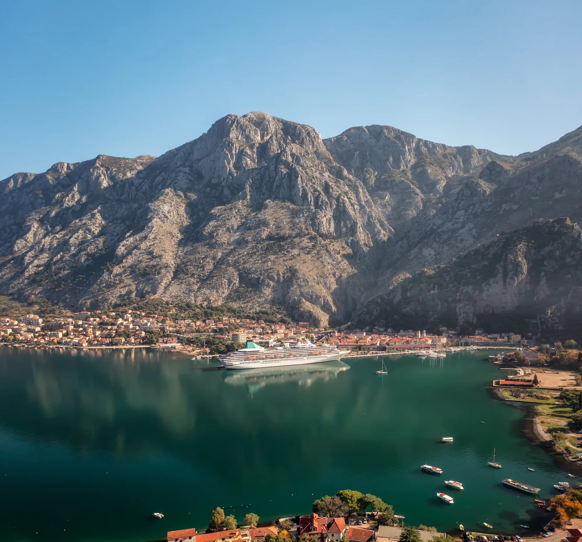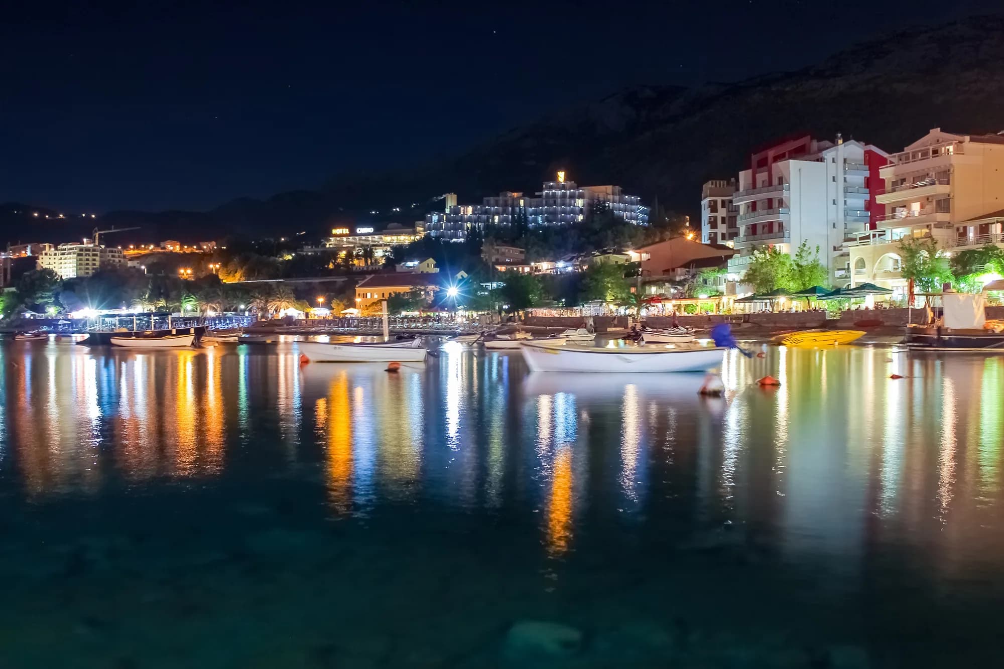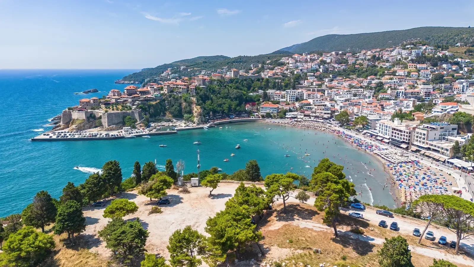
Ulcinj’s five headline attractions require five different kinds of planning. Old Town is a layered urban walk; Velika Plaža is a long coast made of distinct managed and natural sectors; medieval Šas is an archaeological site under conservation pressure; Ada Bojana changes with river and sea; Ulcinj Salina is an internationally important wetland whose future management company was the subject of a January 2026 establishment agreement. A “top five” is useful only when those differences remain visible.


Plan access separately for each place. Parking, visitor services, wildlife, water conditions and management status can change the day, especially at the beaches, Salina and archaeological site.
| Attraction | Visit contract |
|---|---|
| OLD TOWN | public lanes + verify museum |
| VELIKA PLAŽA | choose a sector + check conditions |
| ADA BOJANA | confirm access + respect zones |
| SALINA | confirm access + distant wildlife |
| ŠAS / SVAČ | conservation status + safe route |
Source: ulcinj.travel, rsis.ramsar.org, gov.me
Ulcinj’s top five at a glance
| Attraction | Best reason to go | Main uncertainty | Verify first |
|---|---|---|---|
| Old Town | Multi-period architecture and museum context | Museum and interior access | Hours, ticket, route needs |
| Velika Plaža | Long sandy coast and water sports | Sector-specific services and sea state | Managed zone, flags, transport |
| Šas/Svač | Medieval archaeology and landscape | Conservation works and safe entry | Current site authority guidance |
| Ada Bojana | Dynamic river-mouth beach landscape | Access, changing shore and zone rules | Operator, conditions, return |
| Ulcinj Salina | Ramsar wetland and saltworks history | Governance, routes and habitat works | Permission, entrance, route |
These places do not form one compact walking circuit. Old Town stands above Mala Plaža; Velika Plaža and Ada belong to the southern coastal plain; the Salina is a managed wetland; Šas lies inland by Šas Lake. A realistic first visit uses two days or chooses three stops, not five rushed photo calls.
1. Ulcinj Old Town: read the layers before the legends
Ulcinj Tourism describes Old Town as an organic urban ensemble built across roughly two and a half millennia. Its walls, gates, tight street network, houses and civic or religious structures hold ancient, medieval, Renaissance, Baroque and Ottoman layers. Venetian work forms one part of this much longer history rather than the origin of the whole defended settlement.
Enter with a route rather than a monument checklist. Compare the land and sea gates, the relationship between walls and cliff, later upper floors on older structures, and the way religious buildings changed use. The city museum’s archaeology and lapidary collections include an ancient base with a Greek inscription to Artemis, architectural fragments and objects from several periods. The dedicated Church-Mosque history guide explains the museum complex without flattening church and mosque phases into a novelty label.
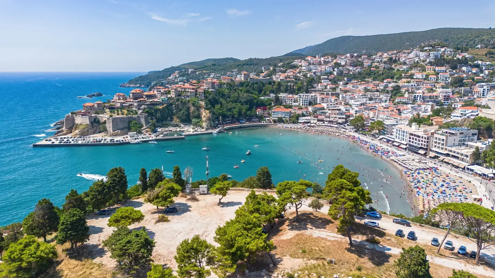
Museum hours and ticket prices can change. Ulcinj Tourism publishes info points at Mala Plaža, the bus station and other locations; ask for the current museum contact and opening before climbing specifically for an interior. A gallery or tower used for events is not necessarily open between events. Private accommodation, restaurant terraces and homes inside the walls remain private.
| Step | What to do |
|---|---|
| FORM | walls + gates |
| LAYER | not one era |
| VERIFY | museum today |
| RESPECT | worship + homes |
| STORIES | legends as tradition |
Source: ulcinj.travel
2. Velika Plaža: choose a sector, not “the beach”
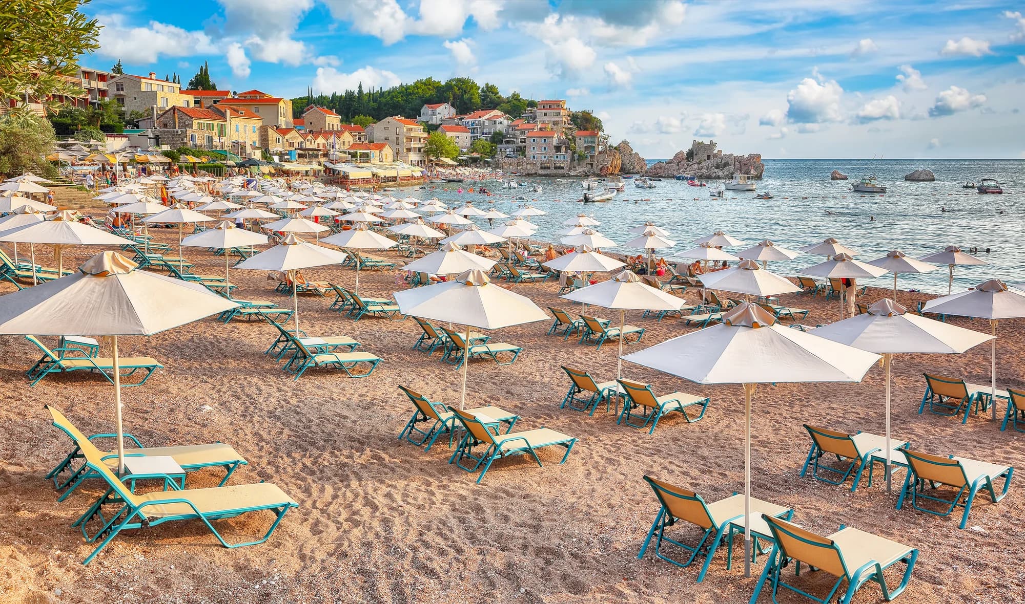
Velika Plaža is a long fine-sand coast extending from the Porta Milena side toward the Bojana mouth. Its scale is the attraction: different approaches lead to different beach clubs, camps, water-sport areas and less-developed stretches. Parking, rescue cover, accessibility, toilets and crowd levels vary from one sector to another.
Choose the sector by need. Families should prioritize a managed bathing area with visible safety information, a working lifeguard where available, shade and toilets. Shallow water alone does not make an entire coast safe for children. Kite or wind-sport users should use an established operator and stay clear of ordinary swimming zones. Visitors seeking quiet should still confirm legal access and avoid dunes or vegetation used as habitat.
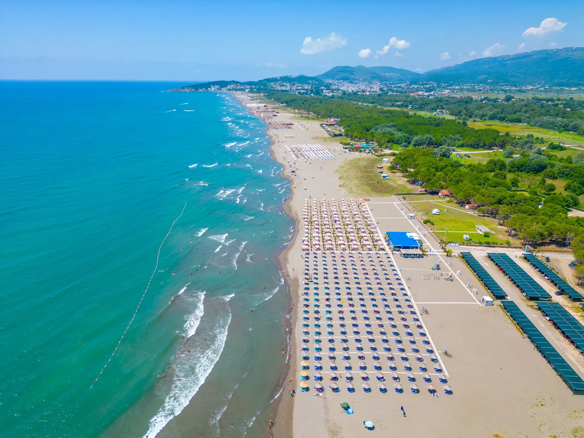
On arrival, read the flag and posted rules before entering the water. Wind, currents, waves and heat can change during the day. Never assume an empty roadside patch is free or legal parking, and leave nothing visible in a vehicle. For detailed sector selection and realistic logistics, use the Velika Plaža guide. The wider Adriatic beach planner helps compare Ulcinj with other coastal bases.
| Sector priority | What to check |
|---|---|
| MANAGED SWIM | flags · rescue · toilets |
| FAMILY NEEDS | shade · short transfer · facilities |
| WATER SPORTS | operator · separation · wind |
| QUIET SECTOR | legal access · dunes protected |
Source: ulcinj.travel
3. Šas/Svač: archaeology under conservation, not a ruin playground
Šas, also called Svač, occupies a hill above Šas Lake in the wider Bojana Delta landscape. Ulcinj Tourism promotes it as an ancient and medieval city; government documents confirm that it is a state-owned cultural site subject to authorized archaeological research. Excavations have uncovered architecture and material from late-antique and medieval phases. The familiar “church for every day of the year” belongs to local tradition rather than a documented building count.
Montenegro’s 2025 cultural-heritage programme allocated work for St Mary’s Church at Svač, noting unstable parts, inappropriate later additions and a need for urgent conservation and presentation. That is an explicit warning not to equate a tourism listing with a stabilized visitor circuit.
Before travelling, contact the tourism organisation or municipal/cultural authority and ask whether the site is open, which approach is authorized, whether works are active and whether a guide is required. Do not climb masonry, cross barriers, enter an excavation, remove fragments or use a drone. If status cannot be confirmed, view the landscape from an established public point and omit the ruins.
| Stage | Detail |
|---|---|
| Status | CULTURAL SITE + ARCHAEOLOGICAL RESEARCH |
| CURRENT RISK | unstable parts + conservation project |
| VERIFY | opening + route + guide + works |
Source: ulcinj.travel, gov.me, wapi.gov.me
4. Ada Bojana: confirm the current shore and visitor zone
Ada Bojana sits at the river mouth where two river sides and the Adriatic shape a triangular delta island. The official tourism beach page describes roughly 3 km of sand and explicitly notes that channels and the beach change from year to year. Access maps, resort descriptions and shoreline photographs can therefore become outdated.
Ada is associated with naturism and water sports, but neither label applies identically everywhere or every day. Before travelling, confirm the current access route, operating beach or accommodation sector, naturist boundaries, visitor admission, parking or transfer arrangement and closing time. Respect signed zones; never photograph identifiable people in a naturist area. A restaurant address does not indicate that every island facility or beach sector is open.
Kitesurfing and windsurfing require instruction, appropriate equipment and separation from swimmers. Marketing language about “good wind” cannot assess a beginner’s ability or today’s conditions. Use a reputable local operator, follow launch and bathing-zone rules, and accept cancellation. The full Ada Bojana guide covers this changing landscape and stay options in more depth.
| Check | What to confirm |
|---|---|
| ACCESS | route today |
| SECTOR | open + rules |
| WEATHER | wind + water |
| PRIVACY | no photos |
| RETURN | before dark |
Source: ulcinj.travel
5. Ulcinj Salina: habitat first, flamingos optional
Ulcinj Salina is Ramsar site 2399, a former saltworks within the wider Bojana Delta and Lake Skadar wetland complex. The Ramsar information sheet records salt production from 1934 until bankruptcy stopped it in 2013. Its shallow pans, embankments and saline vegetation support feeding, nesting, wintering and migration; Ramsar calls it a key stop on the Adriatic Flyway.

Governance changed recently. In January 2026, Montenegro’s government and the Municipality of Ulcinj signed an agreement to establish a dedicated nature-park management company. In February, the ecology ministry announced procurement for priority embankment rehabilitation. Current official information does not confirm the entrance, a free bicycle, a 5 km route to a particular hide or unrestricted access. Arrangements may change while conservation work proceeds.
Contact the Municipality of Ulcinj or Ulcinj Tourism before visiting. Ask whether visitors are admitted, which entrance and route are authorized, whether works affect access, what hours or fee apply, and whether bicycles are allowed or available. Follow staff and signs, stay on the authorized route, keep distance from birds and never use call playback. Flamingos, pelicans and other species move with water, food, weather and disturbance; a wetland visit succeeds without a target sighting.
| Step | Action |
|---|---|
| 1 | IDENTIFY AUTHORITY |
| 2 | CONFIRM ACCESS |
| 3 | FOLLOW ROUTE / WORKS |
Source: rsis.ramsar.org, gov.me
Birders can transfer the observation ethics in the Tivat Solila field guide, while the Lake Skadar wetland guide explains the connected regional landscape. The habitats differ; the same principles of distance, silence and uncertainty apply.
How to divide Ulcinj across two days
Day one—town and chosen beach: verify the Old Town museum, walk the public lanes early, then choose either Mala Plaža for immediate urban context or a specific Velika Plaža sector for a longer beach day. The Ženska Plaža guide is essential before considering that women-only cove; access, privacy and local purpose matter.
Day two—one dynamic landscape: choose Ada Bojana or the Salina after current confirmation. They should not be combined automatically: one is a river-mouth beach environment with zone and water-sport questions; the other is a protected wetland with governance and habitat rules. Add Šas only if the site authority confirms safe access and conservation work allows it.
| Day | Plan |
|---|---|
| DAY 1 · TOWN + SAND | Old Town public walk |
| DAY 1 · TOWN + SAND | + museum if open |
| DAY 1 · TOWN + SAND | + one beach sector |
| DAY 2 · CHOOSE ONE | Ada with current access |
| DAY 2 · CHOOSE ONE | OR authorized Salina route |
| DAY 2 · CHOOSE ONE | Šas only if confirmed safe |
Source: ulcinj.travel, gov.me
For broader destination context, the international media guide shows how global media narratives simplify Montenegro. Ulcinj’s multilingual, wetland and delta identity is precisely why a generic “coastal hotspot” label is inadequate.
Practical access, transport and safety
What the sources say
Use the Ulcinj Tourism info points to confirm local transport, museum and beach-sector information. The organisation lists contacts at the bus station, Mala Plaža, Velika Plaža–Đerane 2 and Štoj, but no universal opening hours are published on that page. Call before relying on a seasonal desk.
Road travel between the centre, Štoj, Ada and inland Šas can slow in summer. Do not plan back-to-back timed admissions without a buffer. Park only where current signs allow, never on dunes, verges or wetland embankments. If using a taxi, agree the pickup point and return method before entering a low-signal or lightly staffed site.
Accessibility must be site-specific. Old Town has slopes, stone and steps; beach surfaces are soft; watersport access involves equipment and unstable ground; wetland embankments may be uneven; archaeological ruins can be unsafe. Ask about the route from drop-off, gradients, surface, shade, toilets, seating and assistance. A short distance on a map is not a step-free route.
Frequently asked questions
What are Ulcinj’s five best attractions?
For a balanced first visit: Old Town, one Velika Plaža sector, Ada Bojana, Ulcinj Salina and Šas/Svač. Choose by interest and current access rather than trying all five in one day.
How long is Velika Plaža?
It is a long coast with multiple access points and managed sectors. Choose the sector that meets today’s access, service and safety needs.
Is Velika Plaža safe for small children?
No entire beach is automatically safe. Choose a managed sector, read flags, supervise continuously, account for heat and wind, and follow lifeguard instructions where service is present.
Is Ada Bojana entirely naturist?
Naturist boundaries depend on the current operating sectors. Confirm them, respect signage and privacy, and never photograph identifiable naturist visitors.
Is entry to Ulcinj Salina free, with a bicycle included?
Entrance and bicycle arrangements can change. An agreement to establish a management company was signed in 2026, and embankment work was announced. Confirm the fee, route and bicycle rules with the Municipality or tourism office.
Will I see flamingos at the Salina?
Not necessarily. Ramsar confirms exceptional bird habitat, not a sighting on demand. Water, season, food, weather and disturbance change where birds gather.
Is Šas open to visitors?
Verify before travelling. Government sources document archaeological research and urgent conservation needs; they do not establish a continuously staffed, stabilized public route.
Did Miguel de Cervantes live in Ulcinj?
The Ulcinj tourism page presents the connection as legend and offers competing versions. Treat it as local tradition rather than established biography.