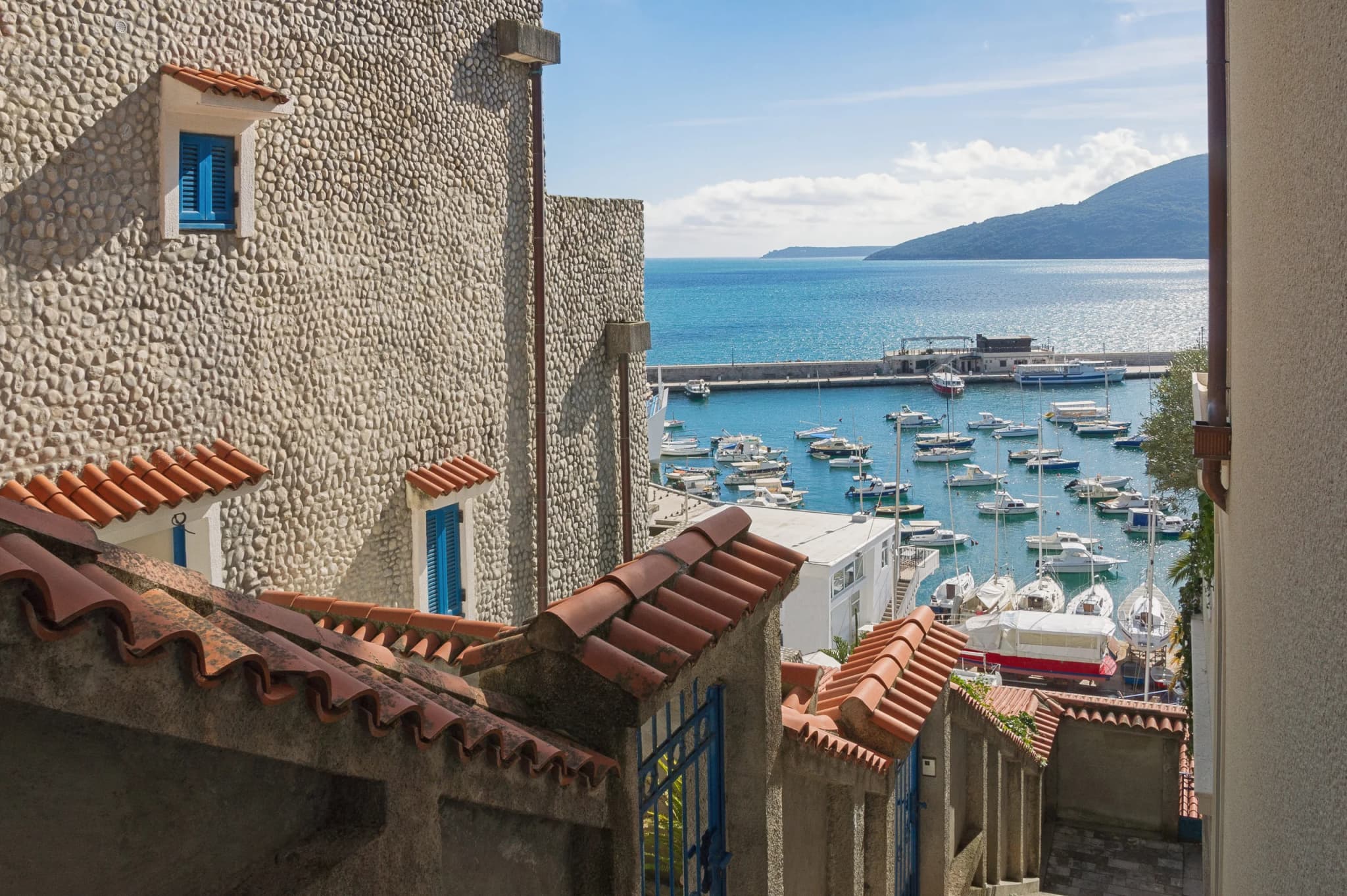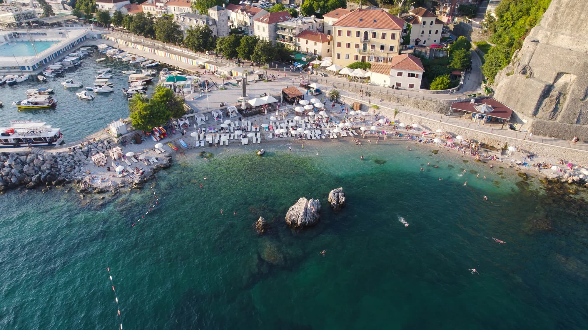
Herceg Novi does not end at its seafront. West of Igalo, the Sutorina valley leads to Montenegro’s main road crossing with Croatia; above it, Žvinje and Ilinica look over the mouth of the Bay of Kotor. Inland, Mojdež, Sušćepan, Ratiševina, Trebesin and Podi occupy terraces and slopes that the municipality treats as a distinct cultural landscape. Calling all of them “suburbs” misses the geography—and the practical differences between them.
This 2026 guide links the border plain, coast, hillside villages and Ilinica memorial ridge in a practical route. It explains what each cluster is good for and what to confirm on the day. It is not turn-by-turn navigation: local roads, private property, works and weather can change quickly.
| Cluster | Best reason to go | Critical check |
|---|---|---|
| Sutorina | Border-valley landscape | M-1 traffic and flood conditions |
| Njivice | Coast opposite Herceg Novi | Parking and beach access |
| Žvinje–Ilinica | High viewpoint and memorial | Road, path and weather |
| Mojdež circuit | Terraces and village landscape | Local works and turning space |
| Podi | Eastern hillside context | Do not confuse it with a through-route |
First understand the landscape
The municipality’s 2024 landscape-character assessment distinguishes the alluvial Sutorina valley and Igalo Solila wetland from terraced settlements such as Prijevor, Mojdež, Ratiševina, Trebesin and Podi. Old paths, retaining walls, bridges, wells and cisterns show how water, cultivation, roads and settlement form one system.
The same document classifies Sutorina as floodplain terrain. After intense rain, do not assume every low road, river edge or informal pull-off is usable. Consult current weather and municipal notices before committing to a valley walk or drive.
| Zone | Terrain |
|---|---|
| Sutorina | alluvial / floodplain |
| Mojdež · Sušćepan | terraces + retaining walls |
| Žvinje · Ilinica | views + exposed weather |
| Note | A short map distance can hide a large change in road and terrain |
Source: hercegnovi.me
Sutorina: a border corridor, not a quick attraction
Sutorina is where the M-1 meets the approach to Debeli Brijeg. Montenegro’s official crossing list says Debeli Brijeg–Karasovići handles road passengers and goods, while Kobila–Vitaljina is a passenger road crossing. Check documents, vehicle eligibility, insurance and live border information with the authorities responsible for your direction of travel.
Montenegro Police’s 2026 summer traffic order restricts goods vehicles over 7.5 tonnes on the M-1 from Debeli Brijeg through Herceg Novi during specified evening periods from 15 June to 15 September. This is not a general closure to passenger cars, but it signals seasonal pressure on the corridor.
If your day is about the landscape rather than the border, keep the plan modest. Observe the transition from river plain to hillside, but avoid industrial entrances, cultivated plots and unsigned tracks. Do not try to cross into Croatia on foot except through a checkpoint that formally accepts your mode of travel.
| Element | Detail |
|---|---|
| Period | 15 June–15 September |
| Vehicles | Goods vehicles over 7.5 t |
| Route | M-1 from Debeli Brijeg through the coast |
| Monday–Friday | 19:00–24:00 |
| Saturday–Sunday | 17:00–24:00 |
| Note | This is not a general closure to passenger cars |
Source: gov.me
Njivice: the coastal counterpoint
Njivice sits on the water west of Igalo, facing Herceg Novi across the bay. It works as a coastal pause before or after Sutorina. Parking, beach concessions and access can be seasonal, so use our updated Njivice guide and confirm the conditions you need.
The useful contrast is geographic: Njivice is at sea level, while nearby Žvinje and Ilinica climb toward the border ridge. Trying to combine beach time, a border crossing and an exposed hill visit in one fixed timetable creates avoidable pressure.
Žvinje and Ilinica: memorial ridge and church
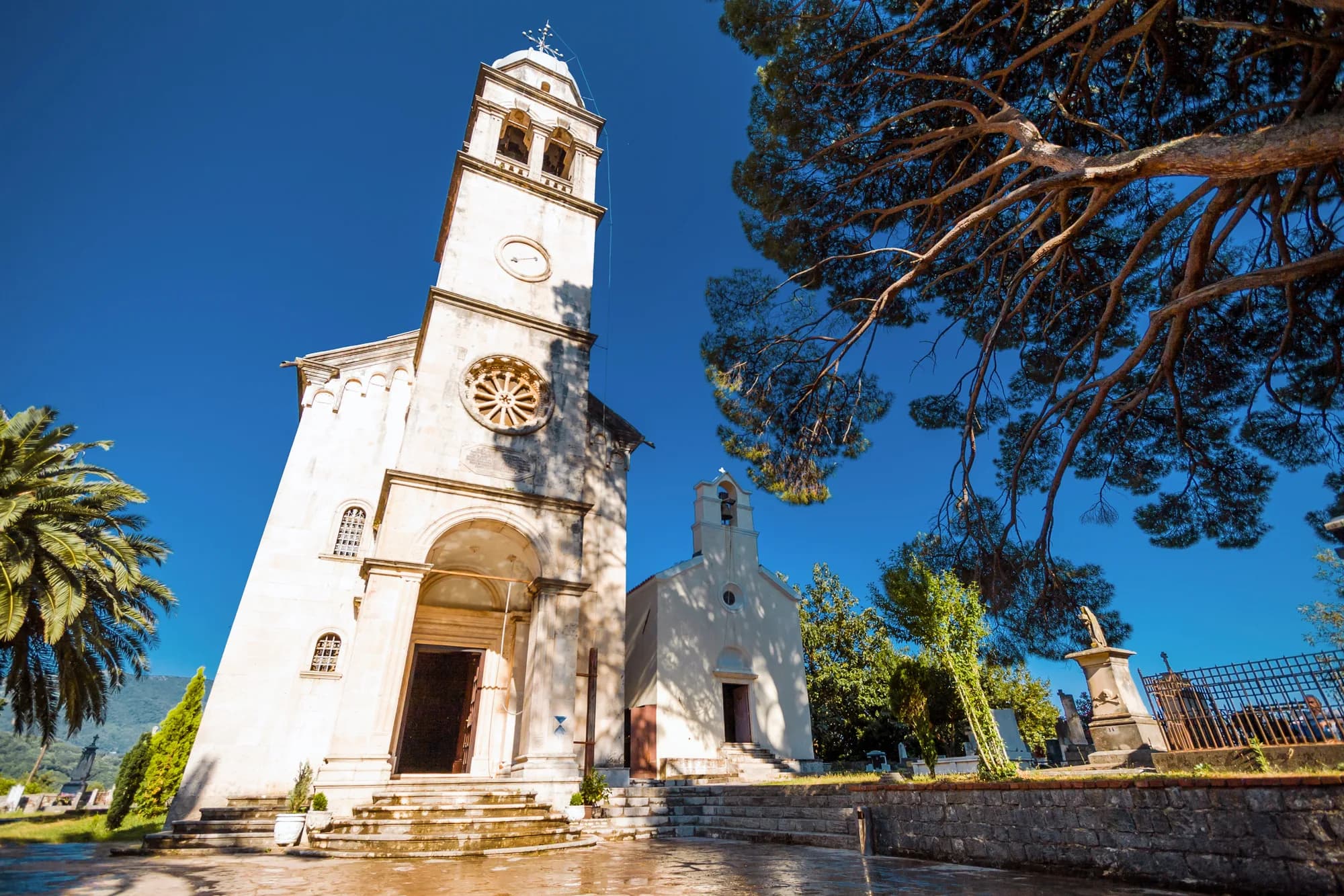
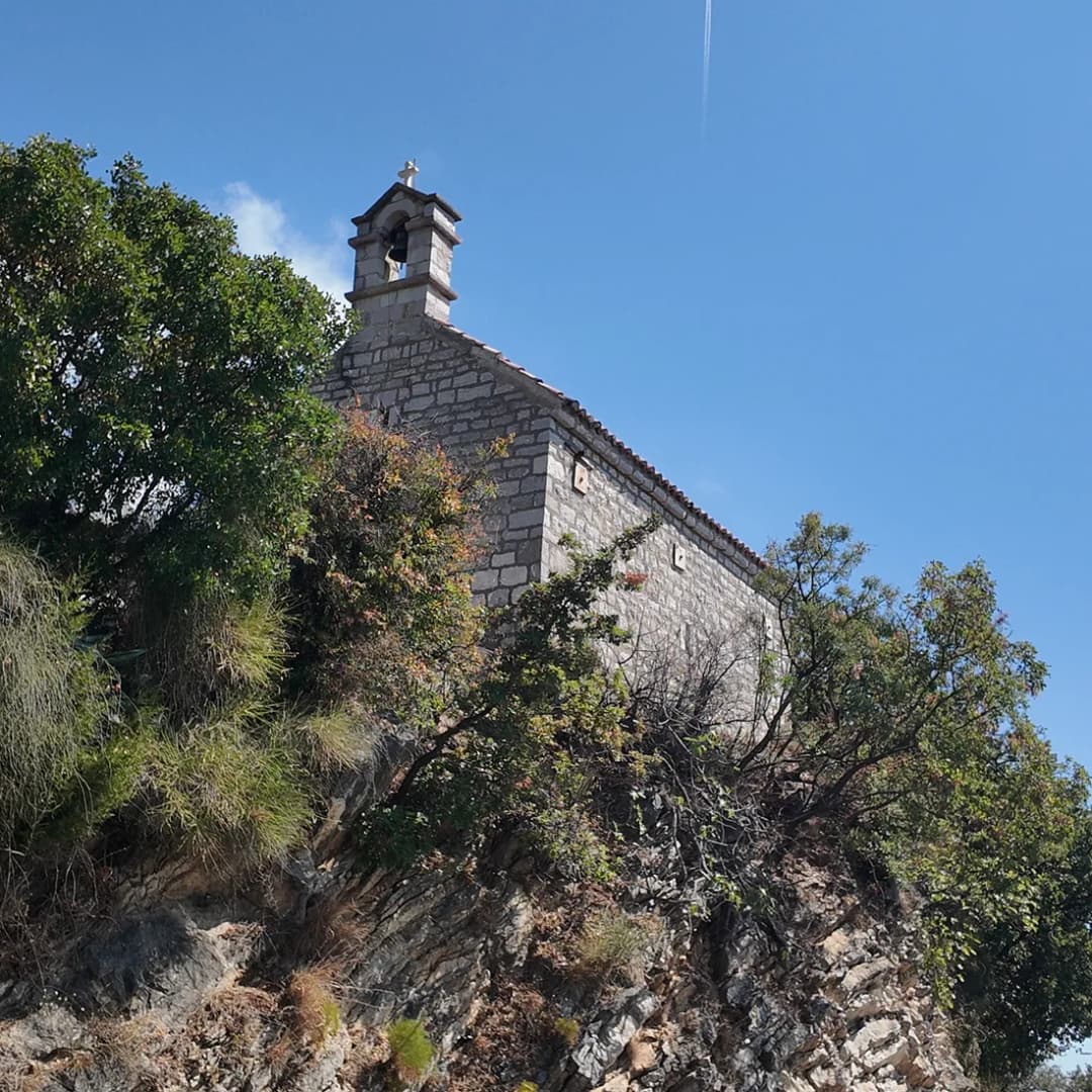
A municipal memorial record places the small Church of St Elijah above Igalo and documents French soldiers killed there on 29–30 November 1806. It records their communal grave and says French soldiers present in Boka erected the memorial in 1919; it does not date construction of the grave itself.
Church chronology also needs restraint. Municipal environmental documentation says the church is believed to have been built in 1600 and may be older. Those words mark tradition and uncertainty, not an excavated construction date. Read our focused Ilinica history and hike guide for a fuller account, but recheck the route, weather and any closures locally.
Do not plan on riding a cable car. A 2025 municipal environmental file describes a Sutorina–Ilinica gondola project, but a design and assessment file does not prove construction, completion, opening, tickets or 2026 operation. Until an operator publishes service information, treat Ilinica as a road-and-foot planning problem.
| Theme | Detail |
|---|---|
| Recorded history | 29–30 Nov 1806 |
| Recorded history | French deaths |
| Recorded history | 1919 memorial |
| Traditional date | church believed 1600 |
| Traditional date | possibly older |
| Traditional date | not a proven date |
| Plan carefully | confirm route conditions |
| Plan carefully | variable walking time |
| Plan carefully | confirm church access |
| Note | Confirm the route and church access locally |
Source: hercegnovi.me
Mojdež, Sušćepan and Ratiševina: a village circuit, not a race
The middle-hill cluster is best understood through terraces, settlement fabric and infrastructure. The municipal landscape assessment groups Mojdež, Ratiševina, Trebesin and nearby settlements among traditional terraced landscapes. This supports a slow scenic circuit. It does not establish that every old path is public, every church is open or every lane has comfortable passing space.
A municipal works notice documents reconstruction of the Sušćepan–Ratiševina road after roughly fifty years, including widening, retaining walls and new lighting. Treat that as a dated record of investment, not a live road report. A separate one-day notice for 3 April 2026 temporarily closed part of Ratiševinska Street and directed vehicles via Mojdež–Sutorina. The closure has expired; it is evidence of why navigation must remain flexible, not a current warning.
Springs and wells are part of the cultural landscape, but modern water supply is engineered and managed. The municipality’s technical concept discusses capacity limits and a proposed pipeline involving the Mojdež pumping station, Ratiševina, Topla and Podi. Never drink from a spring or well without current testing or an explicit safe-water notice.
| Project | Elements |
|---|---|
| Road works record | widening; retaining walls; lighting |
| Water concept | capacity need; pumping station; proposed pipeline |
| Note | Check current closures; do not drink from an unverified spring |
Source: hercegnovi.me
Trebesin and Podi: hillside context
Trebesin and Podi complete the wider hillside picture through settlement patterns, terraces and views toward the coast. Confirm access monument by monument rather than relying on general village descriptions or assuming that every church is open.
Podi lies east of the central city above Meljine, so it does not naturally follow the western Sutorina–Ilinica loop. Visit it as a separate extension and pair it with the coast around Zelenika or the religious landscape in our Savina Monastery guide. That avoids criss-crossing Herceg Novi at peak traffic.
For sacred sites anywhere on this circuit, assume neither opening nor visitor facilities. Dress respectfully, keep voices low, do not photograph worshippers without consent and never treat a cemetery as a viewpoint platform. A church can be culturally important even when its dating remains disputed or its door is closed.
| Area | Places |
|---|---|
| West | Sutorina; Njivice; Žvinje–Ilinica |
| Middle hills | Mojdež; Sušćepan; Ratiševina |
| East | Trebesin; Podi; Savina / Zelenika |
| Note | Leave time for turns, closures, weather and respectful stops |
Source: hercegnovi.me
Practical half-day plan
- Choose one cluster. For a first visit, use Sutorina plus Njivice, or Žvinje–Ilinica if current route and weather checks are positive.
- Check before leaving. Confirm border conditions if crossing, current road notices, weather and daylight. Download an offline map but do not assume every mapped line is a public road.
- Use a suitable vehicle—or stop early. If a lane becomes too narrow to continue without risky reversing, turn around only where safe. Never block a gate, agricultural access or emergency route.
- Carry water. Do not rely on springs, church facilities, cafés or public toilets.
- Protect the place. Take litter out, keep drones grounded unless every legal and site permission is clear, and avoid amplified music around homes, churches and memorials.
For city context before or after the hills, read our guide to literary Topla. If continuing east along the bay, compare the smaller settlements in Baošići and the larger transport context in our Tivat guide.
| Check | What to confirm |
|---|---|
| ROAD | works + closures |
| BORDER | only if crossing |
| WEATHER | heat + rain + wind |
| LIGHT | finish before dark |
| RETURN | room to turn safely |
| If one check fails | shorten the route — the hillside will still be there another day |
Source: gov.me, hercegnovi.me
| Question | If no | If yes |
|---|---|---|
| Road notice clear? | No → shorten / stop | Yes → proceed |
| Weather stable? | No → shorten / stop | Yes → proceed |
| Safe return known? | No → shorten / stop | Yes → proceed |
Source: gov.me
Frequently asked questions
Is Sutorina itself in Bosnia and Herzegovina?
No. Sutorina is in Herceg Novi municipality, Montenegro. For a visit in 2026, use the current official checkpoints and do not infer modern travel rules from historical maps.
Can I use the Ilinica cable car in 2026?
The municipality published cable-car project documentation in 2025, but no operational service is confirmed for 2026. Do not build transport plans around it without a current operator announcement.
How long is the walk to Ilinica?
Starting point, surface, closures, heat and fitness all change the walking time. Use current local route information and turn back if the path is unclear or exposed.
Are the village churches open?
Do not assume so. Treat village churches as religious sites first, seek a current local contact and plan the route so a locked door does not ruin the day.
Do I need a car?
A car or locally arranged taxi gives flexibility, but no universal vehicle recommendation fits every narrow lane. Confirm any public transport service directly and do not leave yourself without a safe return.
Can I drink from village springs?
Not without current testing or an explicit safe-water notice. The landscape has springs, wells and cisterns, but the municipality’s water planning shows that supply and capacity depend on engineered infrastructure too.
The reward of the Herceg Novi hinterland is not collecting village names. It is seeing how a border corridor, river plain, terraces, memorial ridge and modern utility network fit around one coastal city. Keep the route small and the day flexible. Carry water, protect yourself from sun, save an offline map, wear shoes suitable for uneven ground and leave enough daylight to return safely, well before dark.