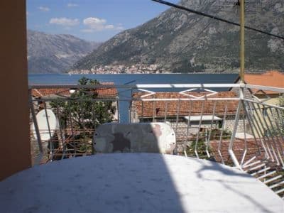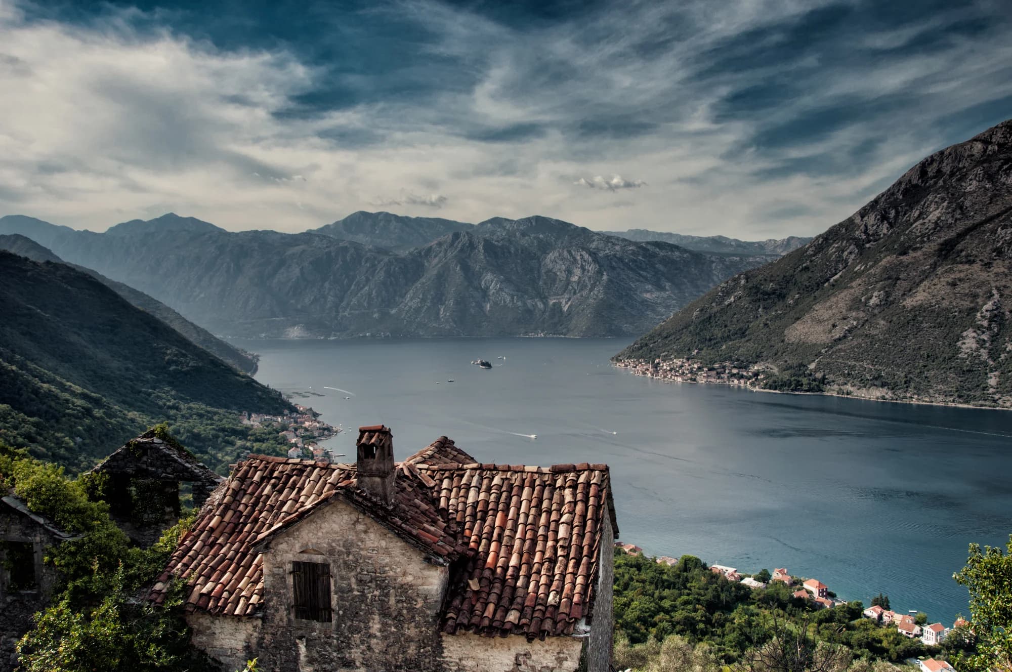
Gornji Stoliv is not best understood as a “ghost village.” Current Kotor heritage documentation identifies it as a rural historic settlement, connected to Donji Stoliv by a protected path through chestnut forest, terraces and traditional buildings. Some structures are ruinous, others are maintained or restored, and the churches remain cultural properties rather than abandoned stage scenery.
The walk is still wonderfully atmospheric: the shore falls away, sweet-chestnut canopy replaces waterfront glare, and the inner Bay opens around Perast's islets. But the valuable story is larger than emptiness. Gornji Stoliv is a connected cultural landscape—settlement, path, cultivated ground, forest and worship sites—inside the protected Kotor region.
| Question | Best-supported answer | Limit |
|---|---|---|
| Elevation | About 240 m | Visitor-source approximation |
| Promoted ascent time | About 45 minutes | NTO estimate, not a guarantee |
| Route character | Historic Donji–Gornji Stoliv footpath through chestnut landscape | Surface, heat and rain change difficulty |
| Heritage | Rural settlement, terraces, traditional buildings, St Elijah and St Anne | Protected does not mean open |
| Facilities above | Do not rely on any | Carry water and return margin |
| Events | Camellia Festival and Kostanjada are documented Stoliv traditions | Use a current programme for dates |
A vertical settlement, not two disconnected attractions
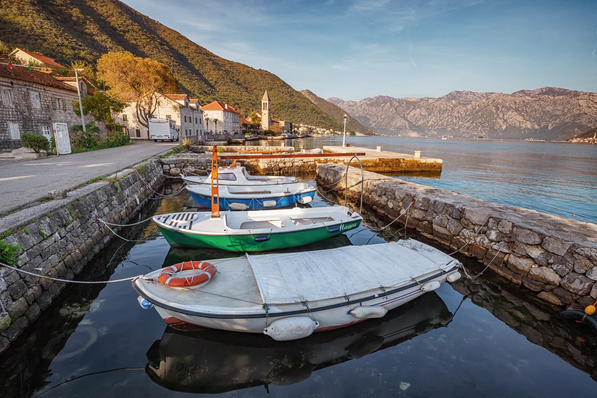
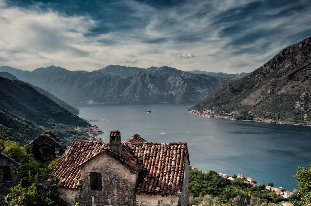
Stoliv occupies the northern slope of Vrmac. Donji Stoliv follows the water; Gornji Stoliv sits at about 240 metres in the chestnut zone above it. The Port of Kotor's Bay guide describes that two-part geography, while a Kotor cultural-heritage decision gives the stronger interpretation: the path, rural settlement, churches, terraced land and traditional structures form one protected corridor.
That matters because the climb is not simply transport to a viewpoint. The path is itself a heritage element. Terraces record cultivation on steep ground; stone boundaries organise water, soil and movement; the upper houses show how settlement once occupied more of the slope. The dedicated Stoliv guide supplies the wider waterfront context, but this walk is where the vertical logic becomes legible.
| Zone | Character |
|---|---|
| DONJI STOLIV | shore + road |
| PATH + TERRACES | chestnut landscape |
| GORNJI STOLIV | rural settlement · ~240 m |
Source: kotor.me, portofkotor.com
Why the chestnut forest matters
Sweet chestnut (Castanea sativa) is not decorative filler here. Montenegro's Coastal Zone Spatial Plan identifies chestnut clusters at Stoliv and Kostanjica as characteristic plant communities of scientific and conservation interest. A later Environmental Protection Agency assessment singles out the Stoliv chestnut forest and the Donji–Gornji Stoliv zone with its connecting path among the Bay's exceptional landscape elements.
That language changes visitor behaviour. Stay on the durable route; do not cut switchbacks into terraces, strip bark, carve trunks, move deadwood or light fires. Fallen wood is not rubbish waiting to be rearranged. Neither the presence of fruit nor the name Kostanjada gives visitors a right to harvest on land whose ownership and management they have not established.
| Element | Значение / Note |
|---|---|
| CHESTNUT | Castanea sativa |
| Conservation interest | exceptional landscape |
| Historic path + terraces | habitat, soil and memory |
Source: wapi.gov.me
What the “ghost village” label hides
A ghost-village headline suggests a clean break between a populated past and empty present. The official evidence is messier and more useful. The 2023 conservation decision describes Gornji Stoliv as a rural settlement, notes a row of traditional buildings, distinguishes a standing house from an attached ruin, and calls for preservation of terraced cultivated land, boundaries, paths and water regulation.
That is not evidence that every house is occupied, nor that the upper settlement supports daily services. It is evidence that “abandoned” is too absolute. Some buildings may be private, seasonal, restored, fragile or unsafe. Look from the public route; never enter a roofless structure, climb a wall, move a door or treat an unfenced threshold as permission.
| Framing | What it says | Verdict |
|---|---|---|
| SENSATIONAL LABEL | empty · frozen · open to explore | × |
| DOCUMENTED REALITY | rural historic settlement; traditional buildings + ruins; terraces + churches + path | ✓ |
| Visitor note | Fragile and partly private · observe from public space |
Source: kotor.me
St Elijah and St Anne: read the dates carefully
Kotor's cultural-property manual lists both the Church of St Elijah and the Church of St Anne in Gornji Stoliv as Category III cultural properties. A peer-reviewed 2019 study of Bay of Kotor place-names says Stoliv first appears in written evidence in 1326 and that the existing St Elijah church was enlarged in 1556.
“Enlarged” is not the same as “built.” The inherited article turned 1556 into a foundation date and added a precise bell-tower year, but secondary accounts disagree between 1833 and 1883. Without a checked primary inscription or conservation file for that addition, this guide leaves the tower date open. It is better to preserve one uncertainty than manufacture a clean chronology.
| Date | What it marks |
|---|---|
| 1326 | Stoliv recorded |
| 1556 | St Elijah enlarged |
| CURRENT LIST | St Elijah + St Anne protected |
| Bell-tower year | conflicting secondary accounts |
Source: studialexicographica.lzmk.hr, kotor.me
Both churches should be approached as living or protected religious sites. Do not assume doors will be open, request access from residents, use flash during worship or lean equipment against masonry. A closed interior is not a failed visit: the settlement pattern, church setting, roofs, terraces and view already communicate the place.
The view is part of a protected cultural landscape
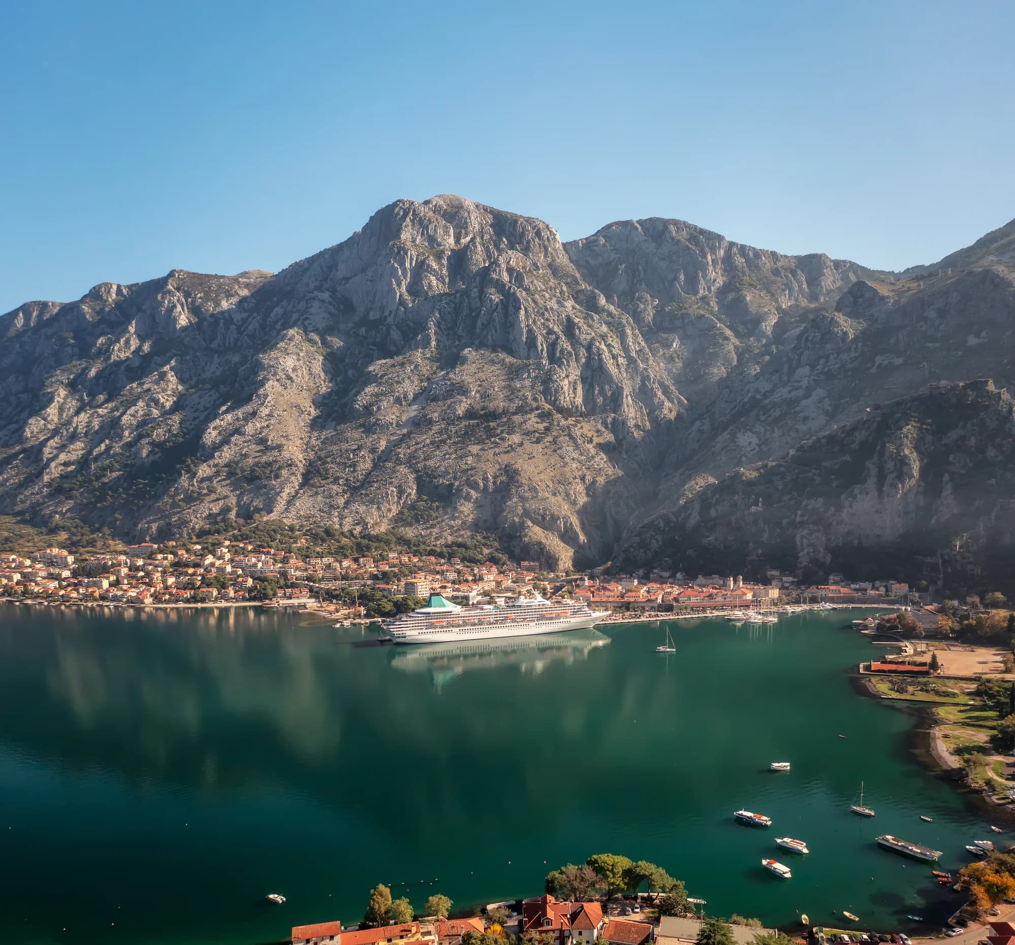
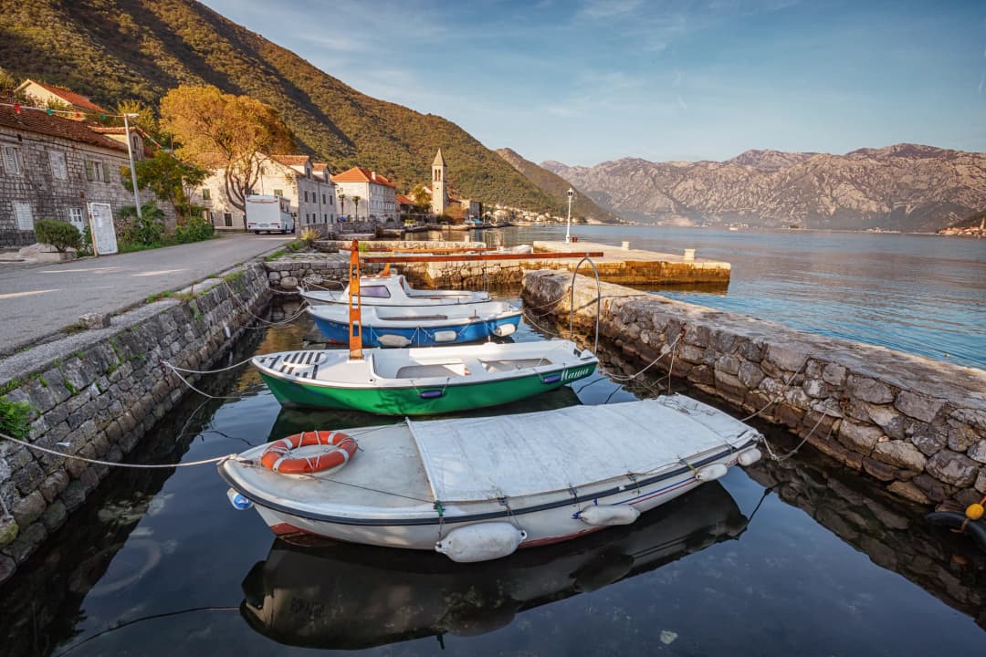
From the upper settlement, Perast and its two islets sit across the inner Bay. The view is spectacular, but it is also evidence. The 2023 heritage decision classifies the Gornji Stoliv route and settlement within the Natural and Culturo-Historical Region of Kotor; the Environmental Protection Agency identifies the central visual axis of Verige, Perast and the islets as important to the property's values.
UNESCO describes Kotor as an integrated cultural landscape and continues to flag management, tourism and cumulative development pressures. Its 2025 advisory mission says the management plan remains outdated and urges clearer identification of the attributes that convey Outstanding Universal Value. Visitors cannot solve planning policy, but they can avoid adding small harms: drones without authorization, geotagged trespass, noise at worship sites, litter, fire and erosion from shortcuts.
For close reading of the town opposite, use Perast on foot. For the full shoreline sequence, the Risan–Perast–Kotor day guide explains how the inner basin fits together without pretending one day reveals everything.
How hard is the walk?
The National Tourism Organisation promotes Gornji Stoliv as an “easy” walk of about 45 minutes. Treat both words as one publisher's estimate. The page gives no measured distance, ascent profile, surface audit or accessibility standard. A climb from sea level to roughly 240 m can feel very different in dry spring weather, summer heat or after hard rain.
Old paving and stone steps may be polished, irregular, leaf-covered or loose. Shade reduces sun exposure but can preserve dampness. Descending often demands more balance than ascending. If anyone in the group has limited mobility, vertigo, recent injury or heat sensitivity, obtain current local advice and be willing to turn back.
| Factor | Detail |
|---|---|
| ~45 MINUTES | NTO promotional estimate |
| Heat + sun | condition to plan for |
| Wet stone + leaves | condition to plan for |
| Fitness + footwear | condition to plan for |
| Navigation + stops | condition to plan for |
| Advice | Carry water · allow return time · turn back early |
Source: montenegro.travel
Practical 2026 access plan
Reach Donji Stoliv without creating a road hazard. The shoreline road through Prčanj and Stoliv is narrow, with limited pedestrian and parking space. The NTO recommends public transport or taxi in the summer rather than adding a large parked vehicle. Kotor municipality completed 1,310 m² of asphalt repairs on the Kotor–Prčanj–Stoliv route in June 2026, but better surfacing does not widen blind bends or guarantee a legal space near the path.
Check works. A March 2026 municipal contract covers a new Stoliv–Prčanj sewer network and Prčanj–Stoliv water-supply project. The earlier announcement anticipated work after the main season. This guide does not claim a closure; it does mean same-day access and traffic checks are sensible before committing to a taxi drop-off or timed bus.
Carry the essentials. Bring water, grippy closed shoes, sun protection, a charged phone and an offline map. A light layer helps in wind or cooler shoulder-season shade. Do not count on a café, tap, toilet, bin, handrail or open church above. Montenegro's official safety advice recommends marked routes, weather checks, durable footwear, sufficient water, a charged phone and a flashlight.
Use daylight. Begin early during hot weather, but not so early that noise disturbs homes. Avoid the walk during thunderstorms, strong wind, wildfire warnings or immediately after intense rain. If the surface becomes slick or the route unclear, reverse while the descent is still manageable. Call 112 for an emergency in Montenegro; reception is not guaranteed.
Pair the walk with a careful lower-shore day rather than rushing onward. The Prčanj captains' village guide adds maritime context, while Risan, Perast and Kotor helps position the opposing shore. If this is one stop in a first-time itinerary, compare it with the smaller places in five Montenegro stops worth your time.
Stoliv's event seasons: verify the year
Kotor municipality documents two different Stoliv traditions. Fešta kamelija centres on camellia displays, art, workshops and a traditional ball. A signed municipal agreement funded the 2026 programme for 27 March–21 June; that period is now past and cannot be recycled as a future schedule. Kostanjada celebrates chestnuts from the Vrmac slopes above Stoliv, but the municipality's general event page is not a dated 2027 programme.
The inherited article also promised a large St Elijah celebration every 20 July and equated it with “Night in the Chestnut Forest.” The saint's association with the upper church is real, but no current official 2026 programme was found to support the detailed schedule. Check the Municipality of Kotor, Stoliv community channels and local tourism sources for the relevant year.
| Event | Verified | Date status |
|---|---|---|
| CAMELLIA FESTIVAL | 2026 period verified | 27 Mar–21 Jun (past programme) |
| KOSTANJADA | tradition verified | future date: check |
| ST ELIJAH | church link verified | detailed schedule: unverified |
| Before travel | Find a dated official programme |
Source: kotor.me
For a quieter winter-and-early-spring trip, use the Montenegro off-season guide. Off-season does not mean maintenance-free: fallen leaves, damp stone, reduced services and short daylight matter. If your wider choice is between major walled cities rather than small Bay settlements, the Kotor versus Dubrovnik comparison gives the right scale.
A responsible half-day sequence
- Before leaving: check rain, heat, fire warnings, daylight, road works and the current route start. Save an offline map.
- At Donji Stoliv: arrive by a safe transport plan. Do not block gates, boat access, the roadway or residents' spaces.
- On the ascent: follow the durable historic path, keep the group together and avoid shortcuts through terraces or forest.
- In Gornji Stoliv: view churches and houses from public space, keep noise low, and enter only where access is clearly permitted.
- At the outlook: identify Perast, St George, Our Lady of the Rocks and Verige; keep drones grounded unless every legal and site permission is in place.
- On return: descend before fatigue or darkness, carry out all waste and leave chestnuts, wood and masonry where they are.
Frequently asked questions
Is Gornji Stoliv abandoned?
Not in a way that justifies “ghost village” certainty. Heritage documentation calls it a rural historic settlement and records traditional buildings, ruins, terraces, paths and protected church settings. Occupancy can vary, and privacy still applies.
How long does the walk take?
The National Tourism Organisation promotes about 45 minutes for the ascent. Treat that as an estimate. Heat, wet stone, leaf cover, pace, navigation and stops can make it longer; allow ample time to descend.
Is the walk easy?
“Easy” is the NTO's promotional label, not an accessibility standard. The route climbs from the shore to roughly 240 m on an old surface. Current conditions and the walker matter more than the adjective.
Was St Elijah church built in 1556?
The peer-reviewed source says it was enlarged in 1556. That wording implies an earlier structure and should not be simplified to an original construction date.
Can I enter the churches or stone houses?
Only when access is clearly permitted. Protected churches may be closed, and houses or ruins can be private and unsafe. Do not enter through an open gap or move barriers.
Can I collect chestnuts?
Do not assume so. The forest and terraces form a valued landscape, and land or harvest rights may be private or managed. Attend a verified public event or ask the relevant landholder.
When are Stoliv's festivals?
The 2026 Camellia Festival programme ran from 27 March to 21 June. Kostanjada is a documented tradition, but future dates require a current municipal or organiser programme. Do not copy last year's calendar.