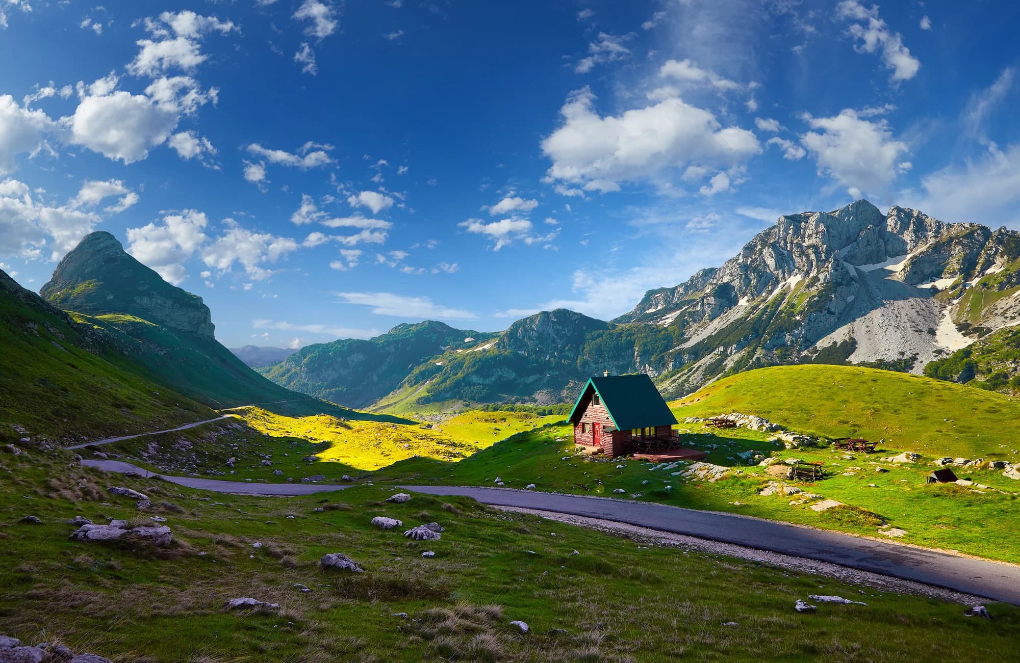
Bottom line: Montenegro can support a superb cycling trip, but “small country” does not mean easy riding. The official network crosses coast, karst, canyons and high mountains; long climbs, shared roads, heat, snow, rough surfaces and sparse services can occur within one itinerary. Choose the route by surface, climbing, traffic exposure and exit options—not by distance alone.
What the sources say
The National Tourism Organisation currently publishes five national routes from 236 to 626 km and downloadable GPX links. Treat those as planning frameworks. They are not promises that every section is traffic-free, freshly marked or recently cleared. For a first visit, one or two verified day rides from a fixed base are usually easier to manage than joining an entire national line without local checks.
| Route | Published length | Planning interpretation |
|---|---|---|
| TT1 Salty and Sweet | 626 km | Longest network; coast-to-interior touring, not one ride |
| TT2 Northern Discoveries | 390 km | Mountain touring; stage and weather planning essential |
| TT3 Eastern Enchantment | 305 km | Eastern and northern terrain with mixed exposure |
| TT4 Endless Landscapes | 415 km | Podgorica through central and northern municipalities |
| TT5 Stories by the Water | 236 km | Shortest national line, still a multi-stage undertaking |
Choose the trip type before choosing the scenery
Road touring makes sense if you are comfortable sharing narrow roads, descending confidently and climbing for sustained periods. A touring or endurance road bike with low gearing is more useful than a race setup. Gravel and mountain riding open Bjelasica, Komovi and katun roads, but surface condition after rain matters more than the word “trail.” Leisure cycling works best as a short local rental on a known low-traffic segment, not as a scaled-down version of a mountain circuit.
An e-bike can reduce the physiological cost of climbing; it does not reduce traffic, braking distance, exposure or remoteness. Confirm motor power, battery range under climbing load, charger compatibility and whether the rental contract permits the selected surface. Carrying a heavy e-bike over a washout is a different risk from riding it up a paved pass.
| Bike type | Priorities |
|---|---|
| ROAD | low gears • strong brakes • lights |
| GRAVEL | tyre volume • tubes / plugs • low gearing |
| MTB | traction • control • repair kit |
| E-BIKE | range under load • charger • carry weight |
Source: montenegro.travel
Five route families, with honest difficulty
1. Durmitor Ring: high-mountain road day
The official scenic-road programme gives the Durmitor Ring as 76 km. It passes through Durmitor National Park and Piva Nature Park, with high exposed terrain, steep gradients and long gaps between reliable services. It is a panoramic road used by motor vehicles, not a dedicated cycle track and not routinely closed for cyclists. A brown route sign confirms the scenic itinerary, not your right to expect an empty road.
Experienced road cyclists may treat 76 km as a long day because elevation and weather dominate the effort. Start only after checking the full profile, wind, precipitation, road works and daylight. Carry enough braking margin for descents and enough insulation for stops. The mountain can retain winter conditions after lower Montenegro feels like spring; our Durmitor thaw guide explains that mismatch.
| Official source proves | It does not prove |
|---|---|
| 76 km panoramic road | segregated cycleway |
| signed scenic itinerary | routine traffic closure |
| spring / summer / autumn listing | today’s road condition |
Source: montenegro.travel
2. Boka and Kotor–Lovćen: dramatic, traffic-sensitive climbing
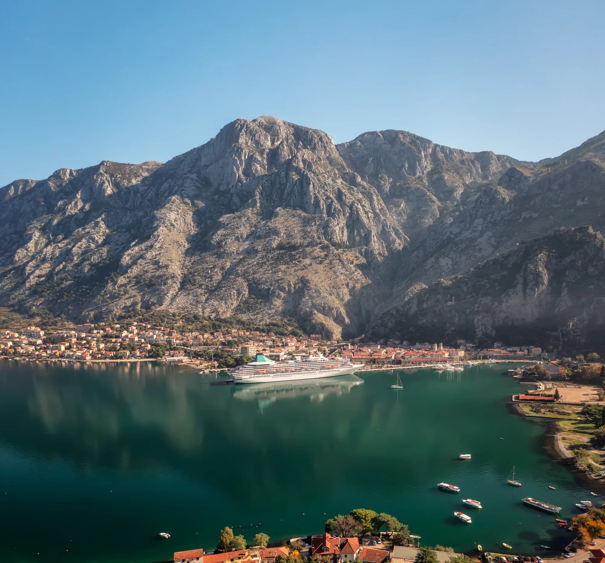
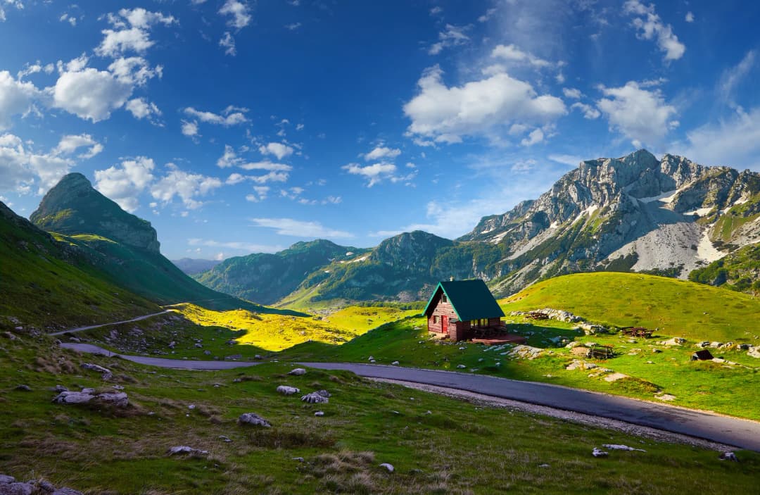
The tourism organisation names the Bay of Kotor and a finish at Njeguši among favourite rides. That does not make the bay highway or Kotor serpentines beginner infrastructure. Road width, tourist traffic, buses, blind bends and stopping vehicles change by hour and season. Build the route from current road intelligence, depart early only if visibility is good, and avoid assuming the shoulder continues.
Active 2026 restriction: a Police Directorate order says traffic for all vehicle categories is prohibited on R-1 from Krstac toward Trojica daily 08:00–15:00 and from Trojica toward Krstac daily 14:00–19:00, from 25 May through 15 October 2026. Do not enter during those windows. Because the order’s category language, enforcement and later amendments may require local interpretation for bicycles, confirm applicability and the current order with police or the road authority before planning this climb.
For a lower-risk first day, select a short local segment with a confirmed turnaround rather than committing to a large loop. The Lovćen guide supplies park context, while our Kotor day-trip guide helps assess transfer distances. Neither replaces route reconnaissance from a cycling operator or current map.
3. Lake Skadar and the central hills: heat and water planning
The national tourism page suggests Podgorica–Virpazar, the old road through Rijeka Crnojevića and a return toward Podgorica. It is a scenic concept with meaningful climbing, exposed sun and shared roads. In summer, the route can be physiologically harder than its elevation profile suggests. Put water capacity, refill verification and a conservative turnaround time into the plan before café stops or photography.
Spring and autumn often provide a better thermal window, but rainfall can alter debris and grip. Our autumn weather-first guide is useful for month-level context; it cannot replace a forecast and route check on the morning of departure.
4. Kolašin to Goleš: a compact mountain undertaking
The KO01 publisher gives 19.59 km, minimum and maximum elevations of 945 and 1,692 metres, and 1,549 metres of cumulative climbing. The inherited article printed 17,191 metres—an obvious error now removed. The 747-metre difference between low and high points is not total ascent: repeated climbing makes the cumulative figure much larger. The route leaves Kolašin, climbs through forest and katun terrain, and uses gravel. This is not a casual city ride.
Do not repeat the route page’s accommodation claims without confirmation; katun operations can be seasonal or private. Carry navigation, repair capability, water and food even if you hope to buy them. For regional background see the Biogradska Gora guide, and choose a practical base with the Kolašin area guide.
| Measure | Published value |
|---|---|
| Distance | 19.59 kilometres |
| Elevation range | 945–1,692 m |
| Cumulative climb | 1,549 m |
Source: pedalaj.me
5. Andrijevica, Komovi and Bjelasica: route chaining matters
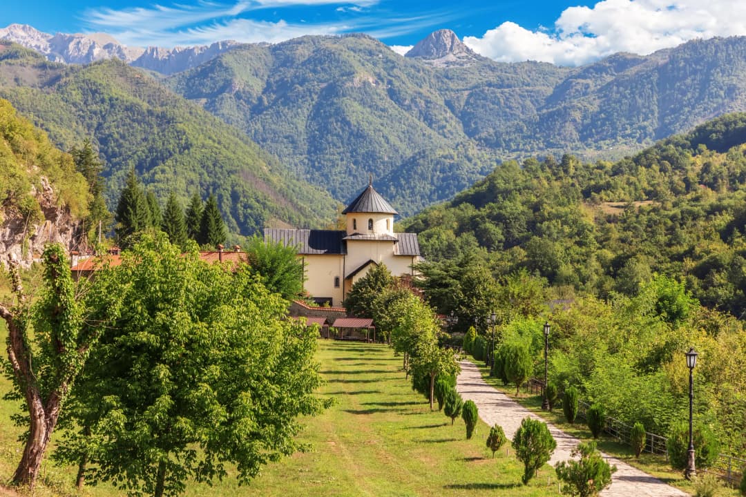
AN03 Rudo brdo is the clearer self-contained challenge: the publisher gives 43.55 km, 1,250 m of climbing and a mix of 30 km asphalt, 7 km macadam and 6.5 km dirt. It also warns that high sections are sparsely populated and recommends a repair kit, spare tyre, light, map, navigation and group travel.
AN04 is easily misunderstood. Its page gives 28.99 km and 790 m of climbing, with 2 km asphalt, 7 km macadam and 20 km dirt. But its start below Lisa is reached by following AN03 from Andrijevica over Trešnjevik. Therefore 28.99 km is the named segment—not the whole town-to-town effort. The page also describes steep, rough and gullied sections and advises against riding during or after heavy rain.
| Route | Distance • climb | Asphalt | Macadam / dirt | Note |
|---|---|---|---|---|
| AN03 • RUDO BRDO | 43.55 km • 1,250 m climb | 30 km asphalt | 7 km macadam • 6.5 km dirt | published town route |
| AN04 • BJELASICA | 28.99 km • 790 m climb | 2 km asphalt | 7 km macadam • 20 km dirt | requires AN03 access |
Source: pedalaj.me
Season: Montenegro is rideable year-round, not every route is
The tourism organisation promotes cycling across all four seasons. Read that nationally: the coast may be usable when high Bjelasica is snowy, and a mountain morning may be comfortable when the Lake Skadar basin is dangerously hot. Individual route pages are more restrictive. AN03 and AN04 specify spring to autumn and warn against dirt sections during or after heavy rain.
May, June, September and early October often offer useful possibilities, but no month guarantees a route. Snowpack, freeze–thaw damage, storms, wildfire controls and heat waves vary by elevation and year. Check a mountain forecast, road notices and local route condition within 24 hours, then again at departure. If the route lacks a safe early exit, set stricter wind, heat and rain thresholds.
| Region | Seasonal constraints |
|---|---|
| COAST | winter rain + wind • summer traffic + heat |
| BASINS | strong summer heat • exposed roads |
| HIGH MOUNTAINS | snow + freeze–thaw • rapid weather change |
Source: montenegro.travel
Road rules and equipment: a time-stamped legal check
The Police Directorate’s published summary of Montenegro’s Road Traffic Safety Law says cyclists must use a cycle path or lane where provided; otherwise they may use up to one metre from the right edge of the carriageway. It also says a white front light and red rear light are required at night or in reduced visibility, a helmet is required on main and regional roads, and a reflective vest is required outside settlements at night or in reduced visibility.
That police page is archived. The Government published proposed road-safety amendments in March 2026, and a proposal is not automatically proof of enacted law. Before riding, check the consolidated law or ask a qualified local provider. Regardless of the legal minimum, wear a correctly fitted helmet, run daytime lights on shared roads, add reflective material, carry identification and avoid headphones that prevent traffic awareness.
| Rule | When it applies |
|---|---|
| USE LANE | where provided |
| LIGHTS | night / low visibility |
| HELMET | main / regional road |
| VEST | outside town* (*at night or in reduced visibility, per archived police summary) |
Source: gov.me
Practical route-validation workflow
Download the official GPX, but also save an offline basemap. Inspect the elevation profile, surface notes and every junction where a shortcut appears possible. Then ask a local tourism office, park visitor centre, accommodation host or cycling provider a precise question: “Has this exact segment been ridden in the last seven days, and were there washouts, snow, logging, dogs, locked gates or construction?” A generic “the route is open” answer is weaker.
Set four decision points: start, first bailout, halfway and final no-return point. At each, compare actual time, remaining daylight, water, battery, weather and rider condition against the plan. Turn around before the schedule fails. For mixed groups, pace and braking competence—not enthusiasm—set the route. Our mountain safety guide adds useful principles for exposed terrain, while a seven-day itinerary can keep transfer ambitions realistic.
What to carry
- Navigation: phone with offline map, downloaded GPX, power bank and a paper or secondary overview.
- Repair: pump, tyre levers, tube or tubeless plugs, patches, multitool, chain link and knowledge to use them.
- Visibility: charged front and rear lights, reflective layer and clear eyewear.
- Weather: wind/rain shell, insulating layer for mountains, sun protection and gloves suitable for long descents.
- Food and water: enough for the gap between verified refills, plus a delay reserve.
- Emergency: ID, insurance details, emergency contact, compact first-aid supplies and exact route shared with someone ashore.
Montenegro’s Interior Ministry says 112 operates 24/7 nationwide and can mobilise emergency medical, police, fire and mountain-rescue resources. In a call, give the route name, last known point, coordinates, direction of travel, injuries, group size and remaining shelter. If coverage is poor, an offline location record helps once contact is restored.
| Item | Detail to give |
|---|---|
| WHERE | coordinates |
| ROUTE | + direction |
| INJURIES | severity |
| GROUP | count |
| EXPOSURE | shelter |
Source: gov.me
FAQ
Is Montenegro good for beginner cyclists?
Yes, if the beginner chooses a short, currently verified low-traffic route with an easy turnaround. The famous high-mountain and Kotor–Lovćen routes are poor default choices because climbing, shared roads and descents add risk.
Is the Durmitor Ring closed to cars?
Do not assume so. The official source presents it as a 76 km panoramic road. It does not establish a recurring traffic closure for cyclists. Check any event-specific closure with the organiser and road authority.
Can I rely on route markings?
No. Use markings as confirmation, not sole navigation. Download the official GPX, carry an offline map and confirm current field conditions because signs, tracks and access can change.
What bike is best?
For paved touring, choose low gearing, reliable brakes and durable tyres. For Bjelasica or Komovi dirt, use a suitable gravel bike or mountain bike based on the worst section. An e-bike helps with climbing but adds battery and carrying constraints.
When is the best time?
There is no single national answer. Spring and autumn can suit lower routes; high mountains may retain snow or become muddy, while summer basins and the coast add heat and traffic. Verify the specific elevation and surface within 24 hours.
Should I book a guided tour?
A qualified local guide adds value when the group lacks navigation, traffic, repair or mountain-weather experience. Verify the exact route, guide credentials, insurance, bike standard, support vehicle, cancellation threshold and what “guided” includes before paying.