0 accommodations available
Bioča is a small village in the Podgorica municipality, in the transitional country where the flat Zeta plain gives way to the low hills of the interior. It is a rural settlement in the plainest sense: a scatter of houses along a road, gardens and small holdings behind them, and pasture and scrub running up the slopes beyond. There is no centre to speak of and no tourist infrastructure, which is precisely what makes it a useful window onto how much of Montenegro outside the coast and the cities actually lives. The land around Bioča is worked in the way the hinterland has been worked for generations — vegetable plots and fruit trees close to the houses, vines on the warmer slopes, sheep and a few cattle on the rougher ground. The climate here is the Podgorica climate, which means hot, dry summers where midday shuts everything down and work happens early and late, and mild wet winters that keep the hills green when the high north is under snow. Stone field walls, old wells and abandoned outbuildings mark generations of settlement. Its practical value to a traveller is position. Podgorica and its transport links are close, and from this side of the capital the roads run quickly north into the Morača canyon, west toward Nikšić and Ostrog, and south to Lake Skadar and the coast. Anyone driving between those places passes through country like this, and stopping in it — buying fruit at a roadside stand, walking a farm track for half an hour — costs nothing and tells you more than another monument. Bioča suits travellers with their own transport who are interested in ordinary rural Montenegro rather than sights, and people staying in village accommodation near the capital. Spring and autumn are the most pleasant seasons; midsummer in the Zeta basin is among the hottest weather in the country.
Search thousands of hotels and apartments with live prices.
We may earn a commission from partner links. This helps us keep Montenegro.com free for travelers.

Search hotels, apartments and guest houses with live availability.
We may earn a commission from partner links. This helps us keep Montenegro.com free for travelers.
Bioca is a small village in the Podgorica municipality, in the transitional country where the flat Zeta plain gives way to the low hills of the interior. Note that it is a different place from Bioce, which sits north of the capital at the mouth of the Moraca canyon.
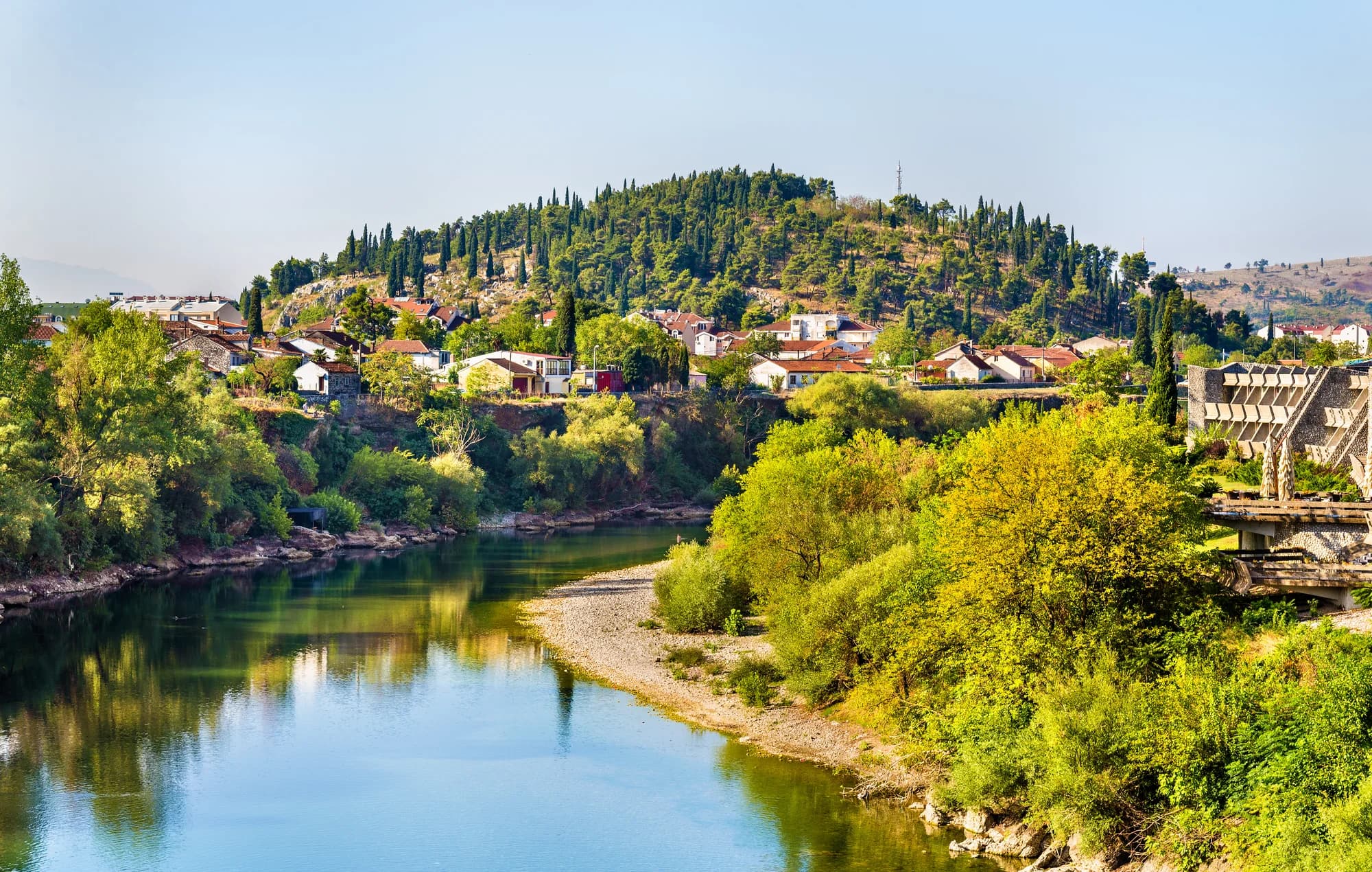
Rural in the plainest sense: a scatter of houses along a road, gardens and small holdings behind them, and pasture and scrub running up the slopes beyond. There is no centre to speak of and no tourist infrastructure.
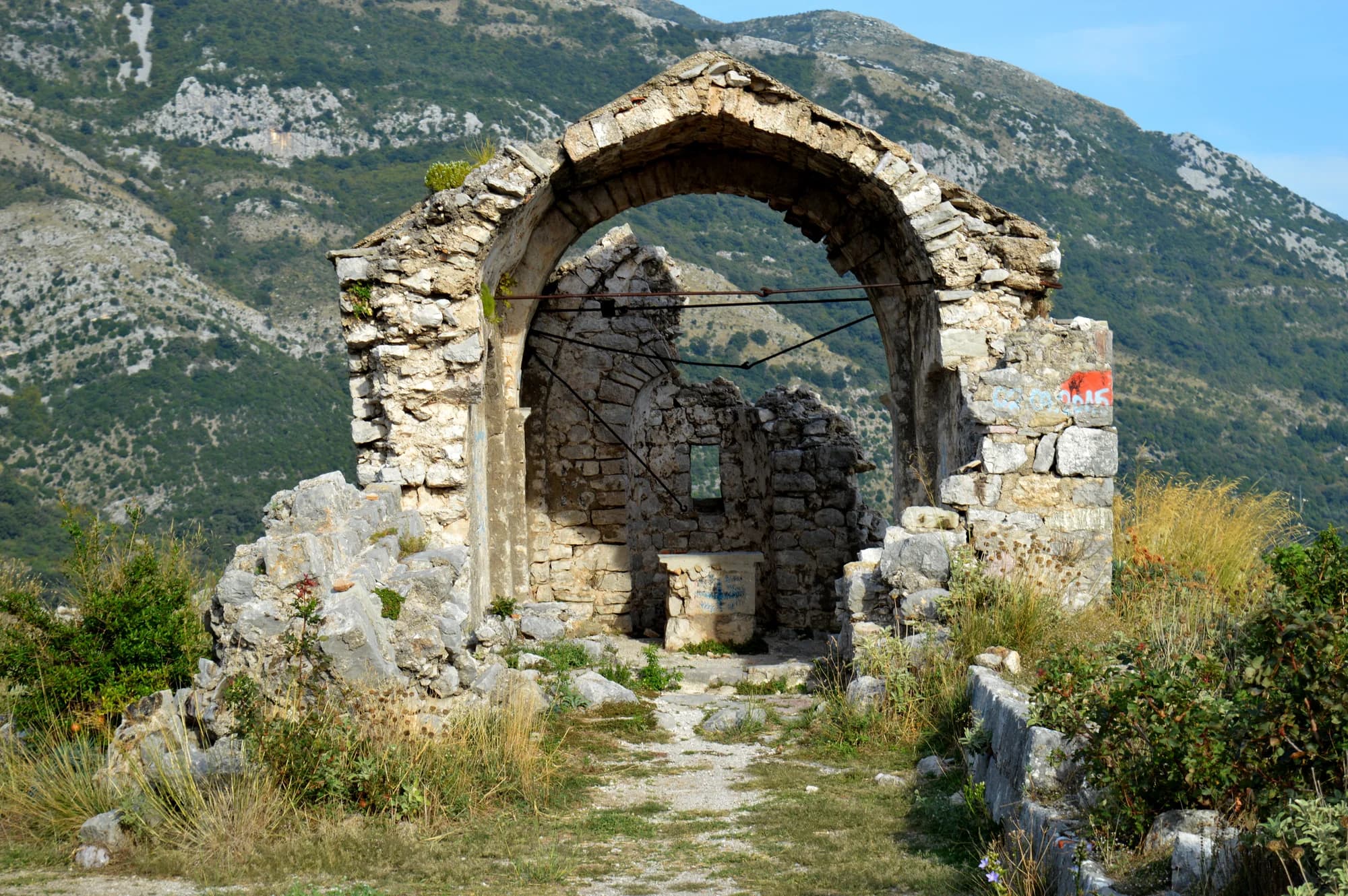
The way the hinterland has been worked for generations — vegetable plots and fruit trees close to the houses, vines on the warmer slopes, sheep and a few cattle on the rougher ground. Stone field walls, old wells and abandoned outbuildings mark generations of settlement.
The Podgorica climate: hot, dry summers where midday shuts everything down and work happens early and late, and mild wet winters that keep the hills green when the high north is under snow.
Position. Podgorica and its transport links are close, and from this side of the capital the roads run quickly north into the Moraca canyon, west toward Niksic and Ostrog, and south to Skadar lake and the coast.
Travellers with their own transport who are interested in ordinary rural Montenegro rather than sights, and people staying in village accommodation near the capital. Spring and autumn are the most pleasant; midsummer in the Zeta basin is among the hottest weather in the country.
7.6 km by road, about 11 min by car.
The UK Foreign, Commonwealth & Development Office (FCDO) has no advisory against travel to Montenegro; it last reviewed its guidance on 13 August 2026. That is their assessment of the country as a whole, not ours and not a judgement about Bioča, so read it yourself before you travel. The emergency number in Montenegro is 112.
The nearest places to Bioča, at their true positions — Klicevo is about 17 km away in a straight line.
Schematic. Positions and straight-line distances from the coordinates we hold for each place; mountain roads make the drive longer. Coastline and Lake Skadar © OpenStreetMap contributors.
Best time: April · May · October
| Place | By road | Driving |
|---|---|---|
| Podgorica | 7.6 km | about 11 min |
| Bioče | 9.5 km | about 14 min |
| Tuzi | 16.2 km | about 22 min |
| Spuž | 18.4 km | about 29 min |
| Budva | 66.5 km | about 1 h 27 min |
| Kotor | 78.5 km | about 1 h 38 min |
| Žabljak | 116.9 km | about 2 h 22 min |
Road distances routed over OpenStreetMap data, © OpenStreetMap contributors. Driving times are free-flow and take no account of summer traffic or a queue at the ferry ramp.