Montenegro's coast is only one part of the country, but it dominates the visitor economy: seaside resorts generated 92.6% of all registered overnight stays in 2025. That concentration can make “the coast” sound like one continuous resort. It is not. Boka, the Budva Riviera, the Bar coast and the Ulcinj south differ in geology, urban form, heritage, beaches and the practical decisions they demand.
The government's 2022–2025 tourism strategy treated those areas as four separate clusters: Bay of Kotor; Budva Riviera; Bar Riviera with Lake Skadar; and Ulcinj with Ada Bojana. This guide uses that framework as a planning tool—not as a claim that each cluster has hard visitor boundaries.
| Region | Strongest character | Planning pressure |
|---|---|---|
| Boka | Enclosed ria, maritime towns, Kotor heritage | Roads, parking, cruise peaks, development |
| Budva Riviera | Dense resort belt, old town, varied beaches | Summer traffic, noise, exact accommodation pin |
| Bar + Lake Skadar | Working port city, heritage hinterland, lake link | Split coast/lake logistics and live access |
| Ulcinj south | Old town, long sand, wetlands, Albanian culture | Wind, beach facilities, habitat protection |
| Region | Character | Second focus | Third focus |
|---|---|---|---|
| Boka | Ria | Maritime towns | Inner heritage |
| Budva | Resort coast | Old town | Beach choice |
| Bar | Port city | Old Bar | Lake link |
| Ulcinj | Long sand | Wetlands | Bojana delta |
| Order | Northwest → southeast |
Source: gov.me, monstat.org
Why the coast matters—and why it needs more than promotion
MONSTAT recorded 15,367,166 overnight stays in 2025; 92.6% were in seaside resorts. Mountain resorts accounted for 2.8%, the capital 2.7% and other resorts 2.0%, with the published rounded shares summing to 100.1%. This is evidence of demand concentration, not proof that every coastal municipality shares demand evenly.
Boka: a ria, not Europe's southernmost fjord
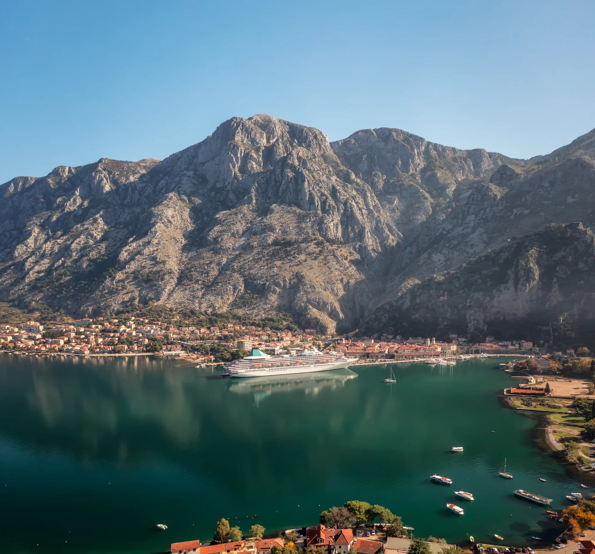
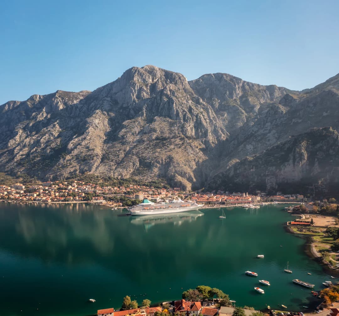
Boka Kotorska resembles a fjord because steep Dinaric mountains frame long, narrow basins. Geologically, however, a peer-reviewed seabed study identifies it as a ria coastal system: deeply incised river valleys flooded by rising sea level, not valleys excavated by glaciers. The inherited claim that Orjen and Lovćen glaciers created the modern bay is not supported by that research.
Boka itself contains several linked basins and very different town experiences: Herceg Novi at the entrance, Tivat on a broader inner bay, Kotor against the steep southeastern edge, and Perast on the Verige-facing shore. The Boka planning guide compares bases; the Buća Palace and Great Park show how Tivat's civic history extends beyond its marina.
| Landform | Origin |
|---|---|
| Fjord | Glacier-carved valley + flooding |
| Boka: ria system | River incision + sea-level flooding |
| Takeaway | Mountain walls explain the resemblance; geomorphology explains the name. |
Source: sciencedirect.com
The Kotor World Heritage property has a boundary
UNESCO's Natural and Culturo-Historical Region of Kotor is a defined 14,600-hectare property covering the best-preserved inner southeastern part of Boka. Its 36,491-hectare buffer zone is separate. The entire bay should not be casually called “the UNESCO site.”
The recognised value is the relationship between fortified and open settlements, maritime architecture, terraced slopes and water—not individual monuments in isolation. UNESCO also warns that ongoing development and urbanisation can irreversibly transform the coastline. A responsible visit uses established accommodation, respects residential lanes and treats viewpoints as parts of a managed cultural landscape.
Budva Riviera: resort density with cultural depth
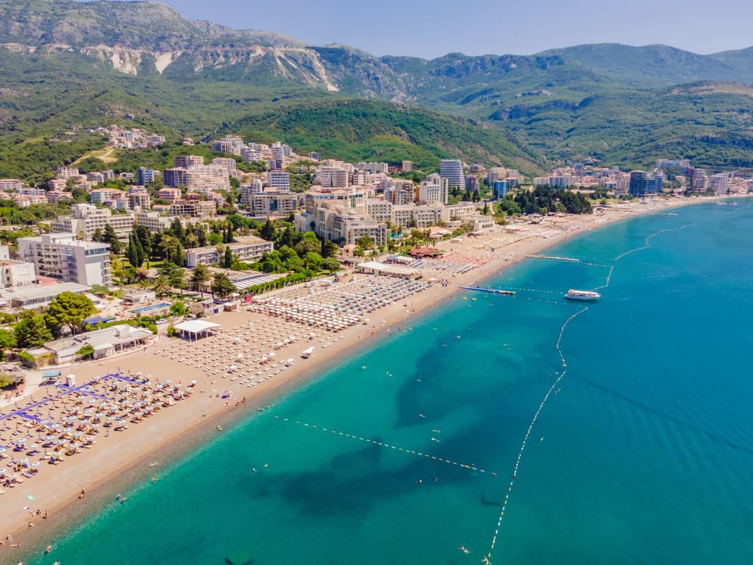
The government's Budva cluster profile combines Budva municipality and Petrovac and identifies beaches, hotels, events, nightlife and cultural sites as defining products. That mix is why the Riviera can fit a short car-free beach break, an old-town stay or a quieter base farther south—but not from the same address.
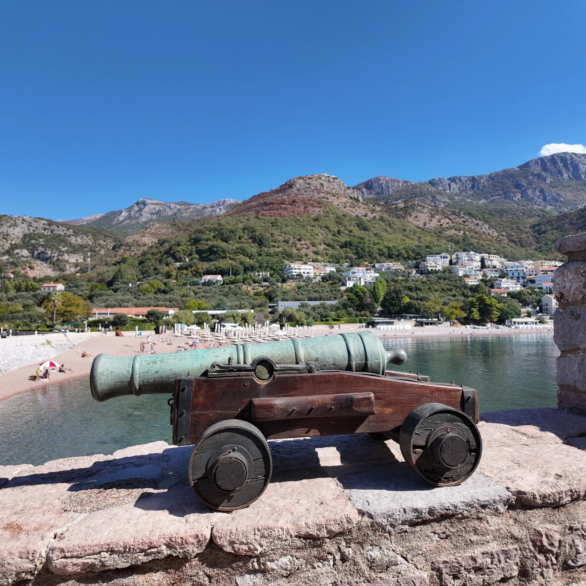
Central Budva concentrates activity and traffic. Bečići foregrounds a broad resort beach. Sveti Stefan and Miločer shift the emphasis to landscape and accommodation access. Petrovac and Buljarica offer a smaller-town or wetland edge. The Budva beyond beaches guide adds museums and urban history, while Sveti Nikola Island explains a boat-dependent day trip and its environmental limits.
Bar: coast, working city and Lake Skadar hinterland
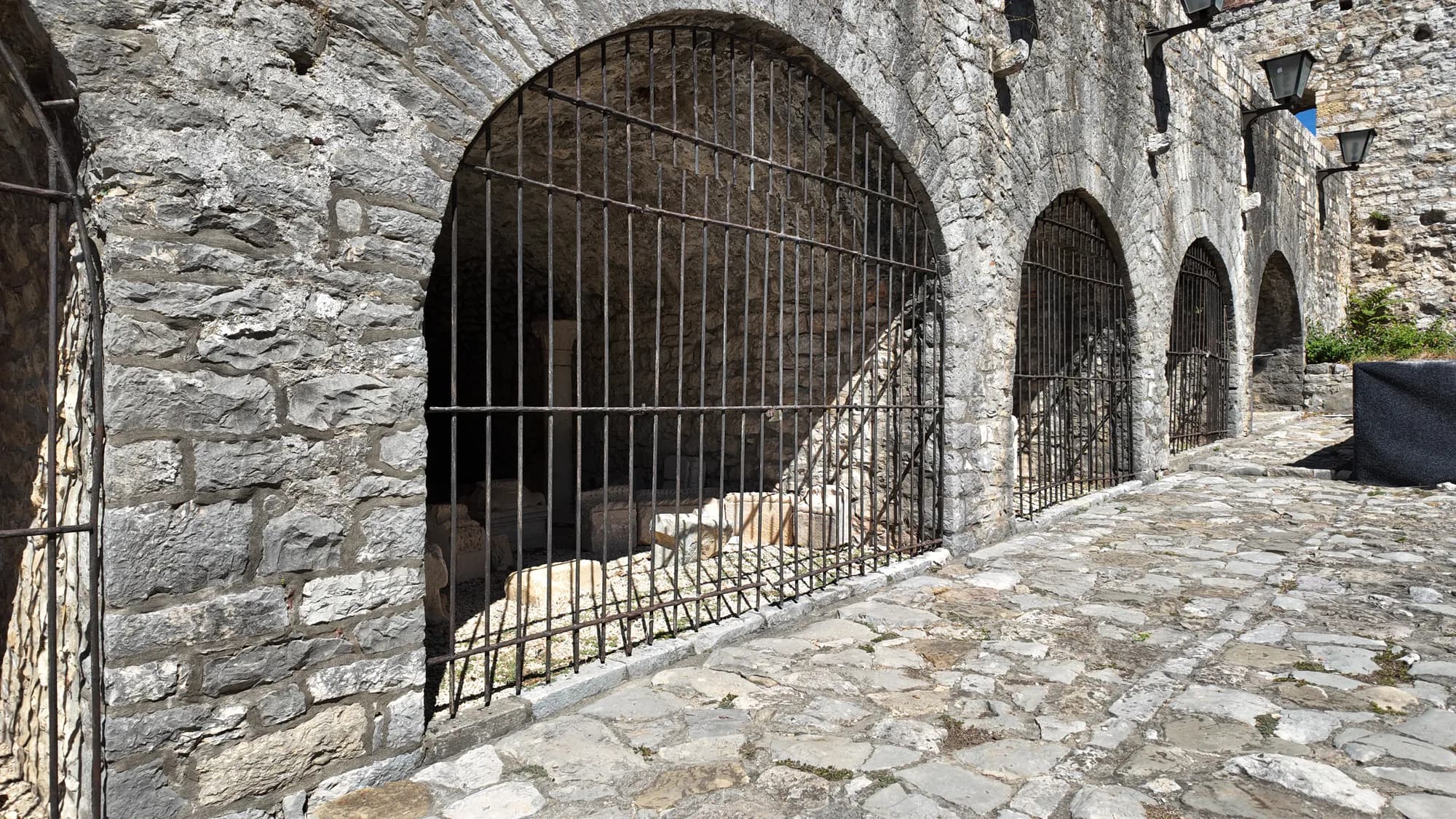
Bar should not be reduced to a ferry terminal. The modern coast includes the working port, railway connection, city waterfront and King Nikola's Palace; inland, Stari Bar preserves a different settlement form beneath Rumija. The official tourism strategy deliberately joins the Bar Riviera with Lake Skadar, recognising that coast, old town, olive landscapes and wetland travel can form one regional trip.
That link needs time. Lake Skadar is not a beach add-on: weather, water levels, boat operations, park rules and wildlife sensitivity alter the day. Current park material confirms 2026–2030 management planning and asks visitors and operators to keep away from pelican nesting areas. Sightings are never guaranteed.
Ulcinj: long sand, old town and wetlands
What the sources say
Ulcinj's southern coast differs physically and culturally from Boka. The National Tourism Organisation lists Velika Plaža—Long Beach—at 13 kilometres. Treat that as a region-scale orientation figure, not a promise that every section has the same road access, sand condition, lifeguard, facilities or atmosphere.
The old town, Port Milena, the Bojana delta, Ulcinj Salina and long beach require different visits. The Port Milena guide explains fishing heritage alongside water and access questions. National Parks material identifies Ulcinj Salina, Lake Skadar and Tivat Solila as Montenegro's Ramsar wetlands, so undeveloped-looking land is not empty space awaiting recreation.
| Site | Status | What to check |
|---|---|---|
| Long Beach | 13 km | Access + wind + water + facilities |
| Ulcinj Salina | Ramsar wetland | Habitat + rules + observation distance |
| Note | A long beach figure never cancels protected-area boundaries. |
Source: montenegro.travel, nparkovi.me
Practical beach and water checks
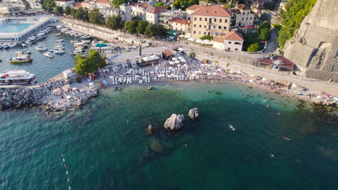
Montenegro's Coastal Zone publishes an official bathing-water portal searchable by municipality, beach, season and test. Use the newest result for the exact location; do not substitute a municipality-wide reputation or last year's grade. Also check wind, waves, heat, fire restrictions, jellyfish reports where available and local safety flags on arrival.
| Step | Action | Detail |
|---|---|---|
| 1 • Pin | Exact location | |
| 2 • Sample | Newest result | |
| 3 • Sea | Wind + flags | |
| 4 • Access | Route + terms | |
| 5 | Look | Never generalise one result to the whole coast |
| Why | Samples expire; conditions change between nearby beach sections. |
Source: monitoring.morskodobro.me, gov.me
Practical multi-base planning
A one-week trip should normally choose two coastal regions, not collect every old town. Boka plus Budva creates strong heritage-and-beach contrast with less transfer exposure. Budva plus Ulcinj favours open-coast variety. Bar plus Ulcinj suits travellers interested in historic towns, wetlands and the southern shore. Add Lake Skadar as a base or deliberate day—not a rushed roadside stop.
For hiking above the coast, use the Orjen guide and current weather rather than assuming sea-level conditions apply aloft. The national hiking guide covers trail preparation. Mountain roads, coastal queues and border traffic make fixed drive-time promises unreliable.
| Trip length | Bases | Rule |
|---|---|---|
| 7 nights | 2 bases | Choose contrast + slack |
| 10 nights | 2–3 bases | Keep transfer days light |
| Regions | Boka • Budva • Bar/Lake • Ulcinj | select, do not speed-run |
Montenegro.com editorial framework
| Element | Type |
|---|---|
| Herceg Novi | Basin |
| Kumbor | Strait |
| Tivat | Basin |
| Verige | Strait |
| Risan | Basin |
| Kotor | Basin |
| Why it matters | Different shore geometry, traffic patterns and town relationships within one ria system |
Source: sciencedirect.com
| Place | Character | Second trait |
|---|---|---|
| Budva | Old town | Night activity |
| Bečići | Broad beach | Resort belt |
| Sveti Stefan | Hillside views | Access checks |
| Petrovac | Smaller town | South Riviera |
| Rule | Choose by sleep environment and daily route—not a generic Budva label. |
Source: biznis.gov.me
| Destination | What it offers |
|---|---|
| Modern Bar | Port + rail + coast |
| Stari Bar | Heritage inland |
| Lake Skadar | Park + wetland |
| Caution | Regional proximity does not make the lake a casual beach detour. |
Source: gov.me, nparkovi.me
| Component | Focus |
|---|---|
| Old Town | Urban history |
| Port Milena | Fishing heritage |
| Long Beach | Open sand |
| Bojana | Delta + wetland |
| Planning | Allocate separate time for culture, beach use and habitat-sensitive observation. |
Source: gov.me, montenegro.travel
| Wetland | Character |
|---|---|
| Lake Skadar | Park + pelicans |
| Tivat Solila | Coastal wetland |
| Ulcinj Salina | Saltpan habitat |
| Rules | Check access • stay on routes • keep wildlife distance • a sighting is never guaranteed |
Source: nparkovi.me
| Priority → region | Live check |
|---|---|
| Maritime landscape → Boka | Traffic + heritage boundaries |
| Resort choice → Budva | Pin + noise + beach terms |
| Coast + lake → Bar | Transfer + park conditions |
| Sand + wetland → Ulcinj | Wind + water + habitat |
| Rule | No region removes the need for a same-day condition check. |
Source: gov.me, monitoring.morskodobro.me
| When | Action | Second action |
|---|---|---|
| While planning | Choose exact sites | Save official links |
| Night before | Repeat results | Check forecast |
| On arrival | Read flags | Observe locally |
| Note | A saved result is evidence from its timestamp—not a future guarantee. |
Montenegro.com editorial framework
| Slot | Meaning |
|---|---|
| Primary | Your main reason |
| Contrast | A different rhythm |
| Slack | Weather buffer |
| Rule | The coast dominates recorded visitor nights, but a good itinerary need not visit every cluster. |
Montenegro.com editorial framework
Frequently asked questions
How long is Montenegro's coastline?
What the sources say
An official MONSTAT geographical table reports 293 kilometres. That includes varied shoreline and does not mean 293 kilometres of beach.
Is the Bay of Kotor a fjord?
No in geological terms. Peer-reviewed seabed research describes Boka as a ria system formed from river-incised valleys flooded by sea-level rise, not a glacier-carved fjord.
Is the entire Bay of Kotor UNESCO-listed?
No. The inscribed Kotor region is a defined 14,600-hectare property in inner southeastern Boka, with a separate buffer zone.
Which coastal region is best for beaches?
It depends on beach type. Budva offers a dense mix of resort beaches and coves; Ulcinj is strongest for long open sand; Boka often uses pebble strips and built swimming edges. Check the exact site and current water result.
Can I visit the whole coast from one base?
Possible day trips are not always good days. For seven nights, two bases usually produce a calmer and more informative trip than repeatedly crossing traffic-prone corridors.
Is Bar only a port stop?
No. Modern Bar, Stari Bar, the coast, Rumija foothills and Lake Skadar connection create a wider region. Current passenger-ferry operations should be checked directly rather than assumed from historic service.