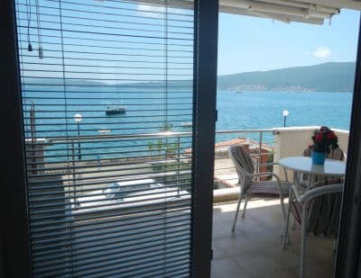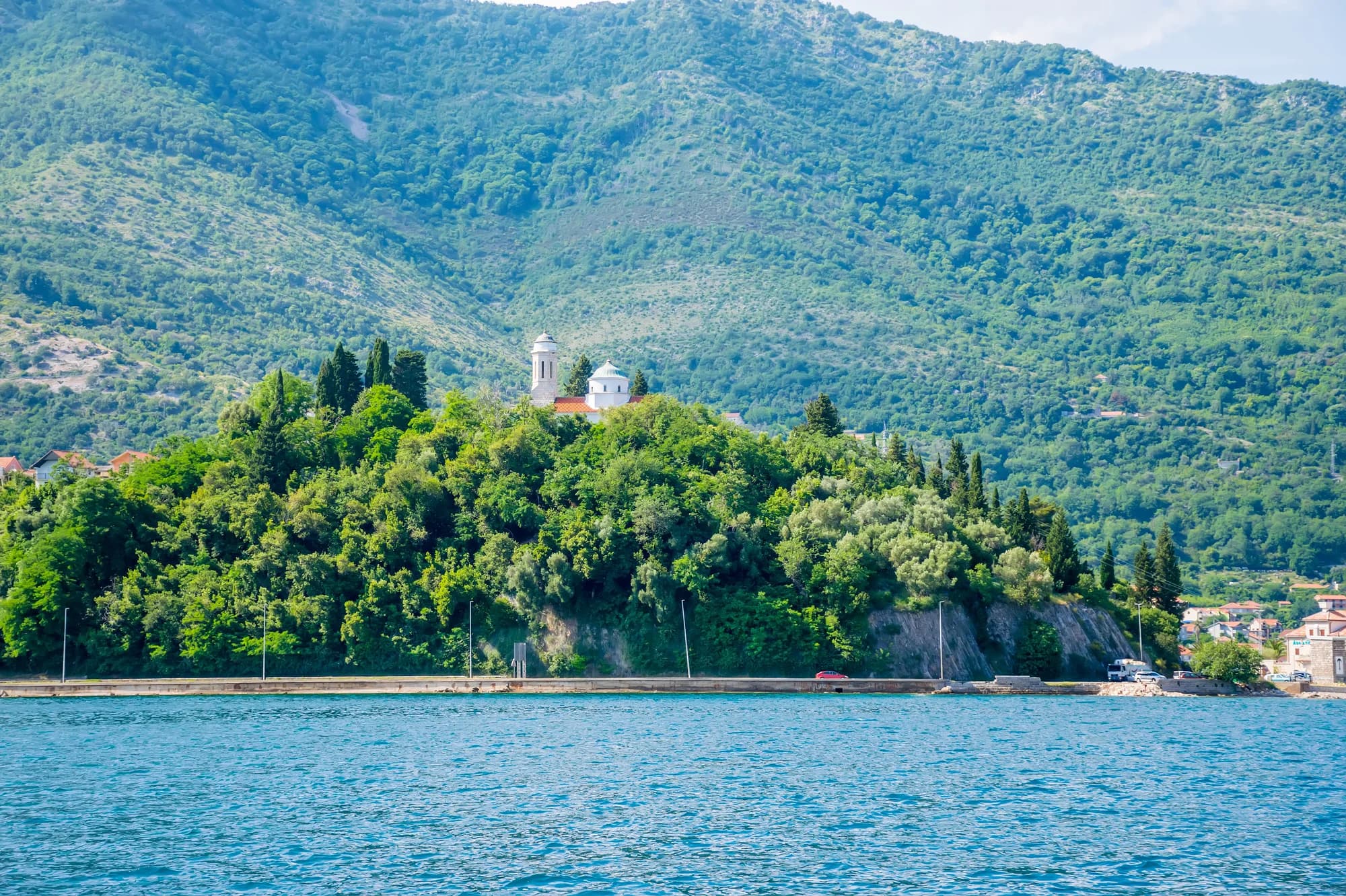
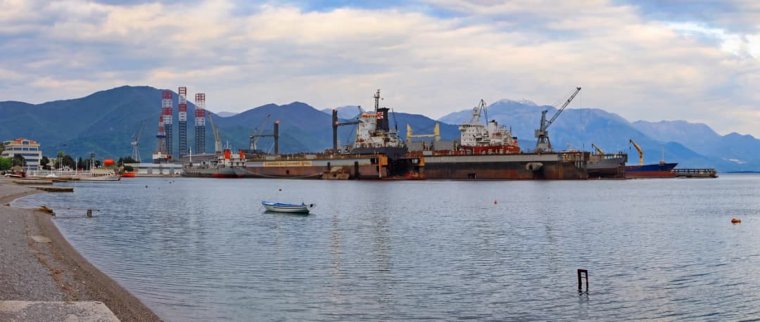
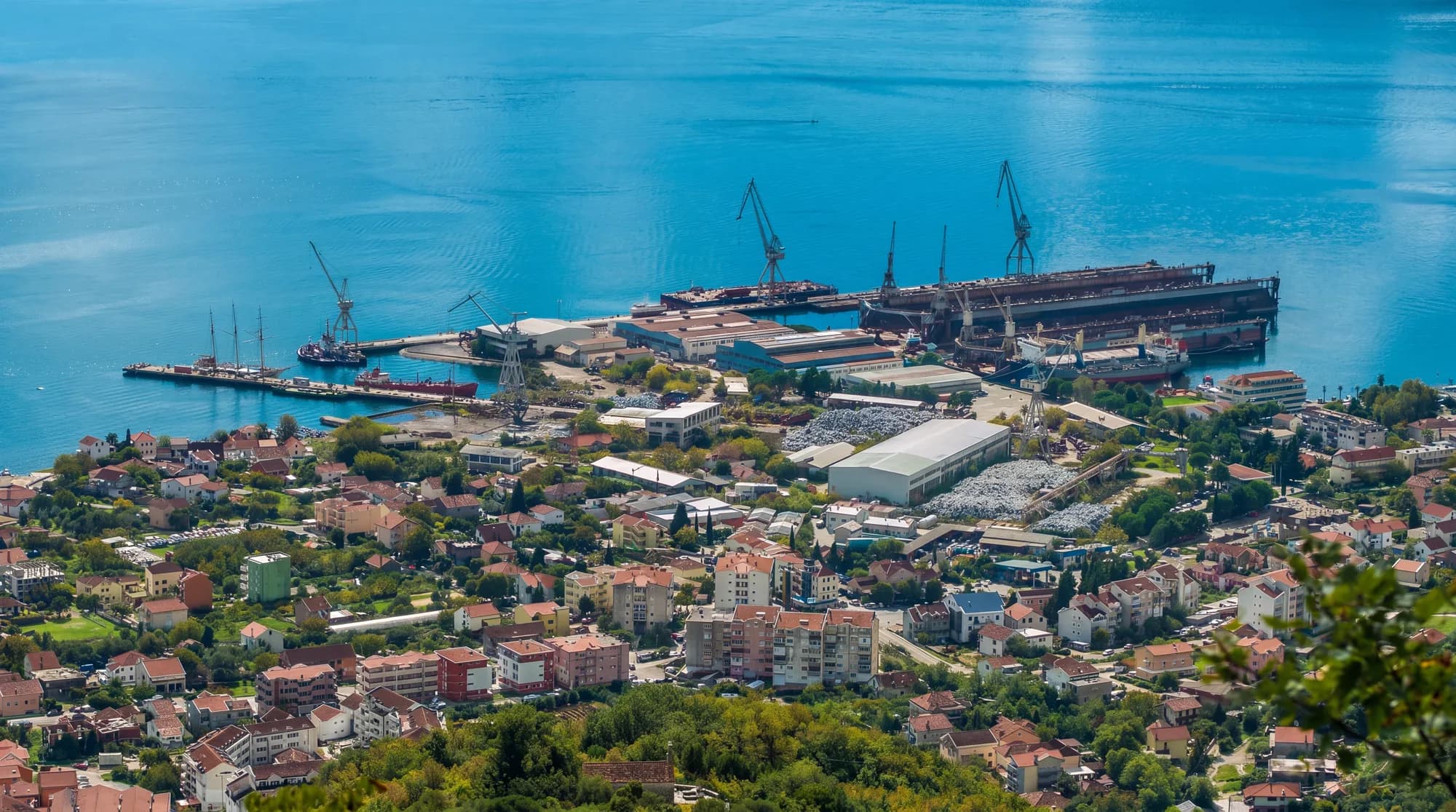
Bijela is where the Bay of Kotor's holiday coastline meets the consequences of heavy industry. For nearly a century, its shipyard repaired vessels and organised local working life. The old company failed in 2015, leaving contaminated blasting grit and a difficult brownfield. Cleanup followed; a new concessionaire then returned yacht repair to the site. This guide treats that transition as essential context—not scenery to hide behind a list of beaches.
What that produces on the ground is a practical Bay of Kotor base rather than a miniature old town. Bijela stretches along the northern shore between the Herceg Novi urban area and the Kamenari ferry approach, with homes, shops, small bathing places and a working maritime site sharing a narrow coastal corridor. That mix is its character: morning swimming can happen within sight of a refit dock, while stone churches sit above the traffic and apartment blocks.
The town suits travellers who value a lived-in waterfront, self-catering and access around the bay more than a concentrated sightseeing district. It is less suitable if the priority is a wide natural beach, a car-free promenade or nightlife outside the accommodation. This guide separates durable geography from details that change by season—ferry frequency, tourist bureaux, beach concessions and traffic—and links those changing claims to the responsible operator.
Bijela at a glance: who should stay here?
Bijela lies on the Herceg Novi side of the Bay, west of Kamenari and east of Baošići. It is a linear settlement: homes, services, small waterfront spaces and industrial land share a constrained band between sea and mountain. That form produces convenience but also road noise, uneven pavements, summer congestion and sharp differences from one address to the next.
| Travel need | Why Bijela can work | What to verify before booking |
|---|---|---|
| Longer apartment stay | Daily-life services and self-catering inventory | Exact walking route, stairs, road crossing and construction nearby |
| Bay road trip | Near the Kamenari ferry and between Herceg Novi and inner-Bay destinations | Parking dimensions, access lane and seasonal queues |
| Car-light holiday | Local buses and a walkable central strip | Current stop, timetable, late return and luggage route |
| Beach-first stay | Small local waterfront access points | Surface, shade, ladder or beach entry, monitoring notice and accessibility |
| Old-town atmosphere | Day trips are possible | Bijela itself is a working linear town, not a fortified historic centre |
| Noise-sensitive stay | Some lanes sit back from the road | Distance from main road, yard operations, bars and active building sites |
| Question | Evidence-led answer | Check before travel |
|---|---|---|
| What kind of place is it? | A linear, inhabited bay settlement with small waterfront sections, local services and a major marine-refit site. | Street position of the accommodation; “Bijela” can describe addresses spread along the corridor. |
| Who is it best for? | Couples, families and road-trippers wanting a quieter base between Herceg Novi and the Kamenari crossing. | Steps, gradients, parking and distance to the nearest usable shore access. |
| What are the beaches like? | Mostly compact bathing places, pebble or made shore and concrete pontoons—not one continuous resort beach. | Morsko dobro listing, current operator, water-quality notice, lifeguard and accessible entry. |
| Can you visit without a car? | Yes, if lodging is near shops and a bus stop; the ferry carries pedestrians and cyclists free under the current tariff. | Local bus timetable and safe walking route; the main road is not a continuous promenade. |
| Is it an old-town destination? | No. Its heritage is dispersed uphill, while daily life and swimming occupy the lower strip. | Church service, event and access arrangements rather than assumed museum hours. |
| How long should you stay? | Two to four nights works for a relaxed base; longer stays make sense for self-catering and slow bay travel. | Whether daily trips through summer road bottlenecks match your tolerance. |
The key booking question is not “Is Bijela cheap?” Prices change and averages conceal poor fit. Ask for a pin, unedited approach video, floor level, stair count, parking measurements, window orientation and the walking surface to the water. Our Herceg Novi accommodation guide compares the municipality's other bases.
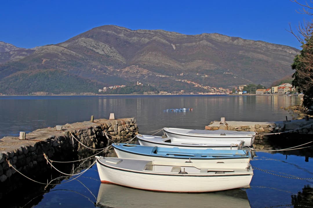
Orientation: shore, highway and hills
Bijela has three useful layers. The lowest is the shore: short beaches, pontoons, accommodation and places to eat. Just inland runs the Adriatic Highway, the main route towards Herceg Novi in one direction and Kamenari in the other. Above it, lanes climb through residential neighbourhoods towards old church sites and wooded slopes. A listing that looks “close to the sea” on a flat map may still involve crossing traffic, steps or a steep return walk.
Choose lodging by the routine you actually want. For swimming before breakfast, ask for the walking route to a specific public access point—not merely a sea-view photograph. For day trips by car, confirm off-street parking and whether the entrance requires reversing onto the main road. For travellers without a car, a nearby food shop and verified bus stop matter more than an abstract central location. Taxi availability and bus frequency are seasonal, so obtain a same-week answer from the host.
| Point on the corridor | Role |
|---|---|
| Herceg Novi | Corridor anchor west of Bijela |
| Bijela | Seasonal 2026 visitor bureau |
| Kamenari | Vehicle + foot ferry |
| Lepetane | Sea crossing landing |
| Before you book | Verify bus times, ferry operations and the safe walk from your exact address |
Source: trajekt.me, hercegnovi.travel
A shipyard town since 1927
The Government of Montenegro's Maritime Economy Strategy dates Bijela's industrial story to 1927, when a workshop for wooden ships and sailing boats was established; a separate Government profile of the former repair yard gives the same founding date. The yard later became Jadransko Brodogradilište Bijela, a major repair facility in the southern Adriatic. Its history was not a steady ascent. The 1979 earthquake badly damaged the plant; reconstruction lasted into the mid-1980s. United Nations sanctions in the 1990s then constrained work and finance.
The yard mattered beyond its fences. It provided specialised trades, apprenticeships, stable wages and a working identity different from palace-lined Perast or fortified Kotor. Apartment blocks, traffic patterns and family histories grew around industrial shifts. For generations it shaped employment, skills and the settlement's waterfront identity. This is why “ugly shipyard beside a pretty Bay” is too shallow a frame: the facility helped create modern Bijela, and industrial Bijela should not be edited out of the destination.
Accumulated losses ended that chapter. The official maritime strategy says bankruptcy proceedings began in June 2015; a World Bank summary says the yard declared bankruptcy and stopped operating that year. The legacy Montenegro.com page incorrectly described the original shipyard as still operating on a smaller scale. It did not. What operates now belongs to a later concession and corporate structure. The inherited description of the yard as the southern Adriatic's first and only shipyard “to this day” likewise freezes a promotional claim from another era.
The cleanup: what blasting grit left behind
Ship repair involved removing paint and hull coatings by abrasive blasting. The spent grit accumulated with contaminants including heavy metals; earlier technical assessment also identified substances such as tributyltin, PAHs and PCBs at the industrial site. The waste sat close to the sea and created public-health and environmental risk. This was not a cosmetic redevelopment problem. In 2021 the Government called the former yard one of Montenegro's four ecological black spots.
The World Bank-supported Industrial Waste Management and Cleanup Project financed collection, export, disposal and soil remediation. A 2019 World Bank project brief reported 35,000 tonnes of hazardous waste already exported at that point, with further material to be handled. Later government announcements reported additional grit shipments: in 2021 the Government reported a shipment of about 6,300 tonnes of hazardous grit to Spain during remediation. Different figures refer to different dates and waste categories; they should not be merged into a single final total without a completion account, and a single documented shipment is a specific clean-up stage rather than a blanket declaration that every environmental issue was resolved.
Most importantly, “cleanup happened” is not the same as “every obligation is closed.” An April 2025 World Bank concept document said the Government intended to move remaining contaminated soil—classified there as non-hazardous—from the Bijela site to a managed disposal location, freeing the last occupied part for future use. Later World Bank project material reviewed in August 2026 changed the wider project's scope and did not restate the Bijela residual quantities or confirm their removal. This guide therefore reports the 2025 plan with its date rather than presenting it as a current site-status finding.
Visitors do not need to fear the whole town, but they should respect boundaries. Do not enter fenced land, climb harbour structures, collect industrial objects or use an unmarked shore beside the yard as a swimming spot. Historic soil contamination also cannot prove today's bathing-water quality at a separate beach: those are distinct evidence questions requiring current, site-specific monitoring. Neither sensationalise the industrial legacy nor assume that redevelopment erased it.
| Stage | Site status |
|---|---|
| 1927 | Wooden-vessel workshop |
| Yugoslav era | Large repair yard |
| 2015 | Bankruptcy and operations stop |
| 2018 onward | Concession + cleanup |
| Apr 2025 plan | Yacht refit active; residual soil identified |
| Caveat | The dated plan is not proof of August 2026 site status; current completion remains unverified |
Source: wapi.gov.me, thedocs.worldbank.org, documents1.worldbank.org
The return of repair work: Adriatic 42
In November 2018, the Government awarded a 30-year concession for commercial use of the shipyard port. The participating consortium changed before implementation, and Adriatic 42 became the operating company. In 2022, the Government publicised a 180-metre floating dock and the operator announced enhanced operations and its first major yacht refit.
Adriatic 42 now describes itself as a full-service superyacht refit, repair and maintenance facility. Its published infrastructure includes a 180-by-34-metre floating dock, a 720-tonne travel lift and 8,000 square metres of workshops and warehouses. That wording and those specifications come from the company and should be read as an operator description, not an independent ranking—useful for understanding the scale visible from the bay, not an invitation to enter an active industrial area. The deeper continuity is skilled maritime work; the discontinuity is equally important. A failed state-era commercial shipyard, remediated brownfield and luxury-yacht facility are three different economic models.
For residents, the new yard promises employment and year-round work. It can also bring noise, traffic, visual change and contested access. A responsible travel guide should not decide that debate for the town. It should help visitors see why industrial heritage, environmental repair and luxury tourism meet at one fence line. Our separate Bijela shipyard investigation follows the ownership, remediation and refit transition in greater depth.
| Chapter | What it covers |
|---|---|
| 1927 | Repair-yard founding |
| Remediation | Hazardous grit removal |
| Refit era | Adriatic 42 operations |
| Evidence base | Historic government profile • dated clean-up record • current operator specifications |
Source: wapi.gov.me, gov.me, adriatic42.com
The waterfront beyond the yard
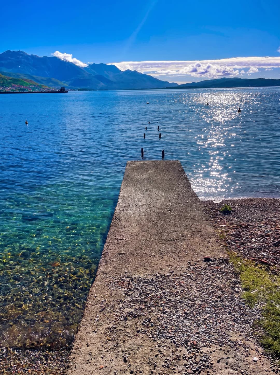
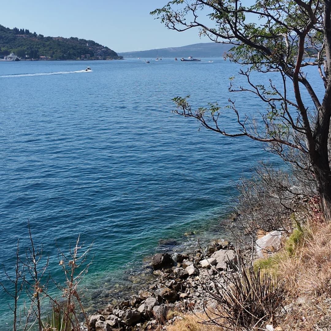
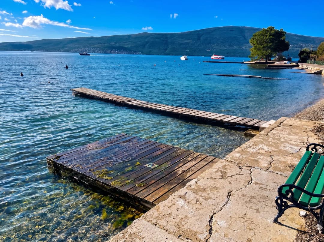
Central Bijela has small-boat moorings, stone edges, short promenades, bathing platforms and pebble pockets rather than one continuous resort beach. Its swimming appeal is intimacy rather than scale: expect a sequence of short waterfront pieces—pebble pockets, made terraces and stone or concrete pontoons separated by buildings, walls and moorings. Conditions vary block by block. Some paths narrow, some steps reach the water without handrails, and some shore structures serve homes or boats. Verify public access instead of following anyone through a gate.
What the sources say
The public-coast manager, Morsko dobro, includes Bijela in its Herceg Novi bathing-site programme, including the 19A designation. That confirms managed bathing locations exist; it does not promise that every visible strip is public, staffed, accessible or equipped on the day you arrive.
For swimming, inspect the exact entry. Look for the current site board and water-quality notice, weather, boat traffic, depth, submerged obstacles, ladder condition and a safe way out. Check depth beside pontoons instead of assuming a shallow step, and use footwear where stone, shells or urchins make footing uncertain. Sheltered Bay water can appear calm while wind, wake and thunderstorms change quickly. Never describe all of Bijela's water as “clean” or “safe” from an old report; current local monitoring and the conditions in front of you control the decision. Do not collect or eat shellfish from the sand: ownership, harvesting rules, contamination and food safety cannot be judged from appearance.
Beach furniture is also a live condition. A concession may provide loungers while retaining a required free section, but layouts and operators can change. Photographing a price board is more reliable than relying on an old review. If step-free access matters, ask for the exact entry surface, handrails, accessible toilet and route from parking; the word “beachfront” answers none of those questions. The similarly important gap between a marketing name and a physical place is explored in our investigation of La Perla and Monte Palm Beach.
| Step | Check | What to look at |
|---|---|---|
| 1 | Public access | Site board + boundary |
| 2 | Live notice | Water + weather |
| 3 | Safe exit | Depth + footing |
| 4 | Your needs | Shade + access |
| If unclear | Move on | Choose another managed access point |
Montenegro.com editorial framework
Families should ask accommodation hosts for the closest public entry with a gradual shore, shade and toilet, then inspect it together. Small children need closer supervision because some edges change abruptly from beach to quay, and concrete ladders can be unsuitable for small children or limited mobility. Water shoes may help on pebble and rough surfaces but do not replace supervision. Keep clear of mooring lines and never swim into an operational harbour lane.
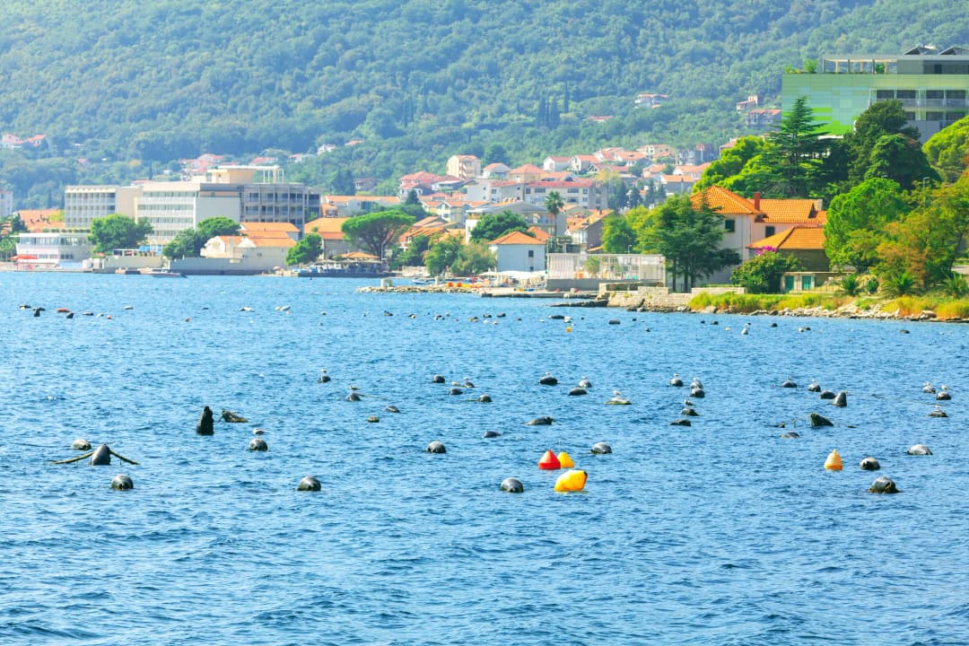
Bijela inside Herceg Novi municipality and the Bay landscape
What the sources say
Bijela is a settlement within Herceg Novi municipality, not a separate municipality. MONSTAT's final 2023 census reports 30,824 usual residents for the municipality as a whole. That number should not be presented as Bijela's population, and this review did not locate a current English settlement table strong enough to replace the old article's unsupported “around 3,000” claim. The distinction affects more than statistics: municipal services, tourism registration, roads and planning extend across a Riviera of settlements with different identities.
The coast westward links Baošići, Đenovići, Kumbor, Zelenika, Meljine and Herceg Novi; eastward lie Kamenari and the road toward the inner Bay. Herceg Novi's own excursion page lists Bijela within that Riviera geography. A visitor may experience it as one ribbon of development, but residents use named local communities, harbours, churches and neighbourhood centres. Preserve those names when asking for a stop or reporting a problem. “Somewhere between Herceg Novi and the ferry” is not operationally useful, and neither is an address described only as “Bijela” when the name covers a corridor.
Bijela also sits within a Bay-wide cultural-landscape question. UNESCO's Natural and Culturo-Historical Region of Kotor is centred on the best-preserved inner, south-eastern Bay; Bijela should not be labelled part of the inscribed core. UNESCO says, however, that the property's buffer zone encompasses the entire Bay of Kotor and warns that uncontrolled coastal construction and infrastructure can gradually erode landscape integrity.
That matters on an industrial shore. Environmental cleanup, working-port infrastructure, housing, visitor accommodation and public access are not isolated projects when mountains and water make every intervention visible across the Bay. The answer is not to pretend the shipyard never existed or to freeze Bijela into a postcard. It is to ask whether new work protects health, retains meaningful industrial memory, supports residents and fits the shared landscape. Our complete Herceg Novi guide supplies the wider municipal orientation.
For travellers, this means reading planning notices and fences as information. A temporary closure, works vehicle or changed shoreline route is not an inconvenience to bypass. Photograph from public ground, follow diversions, and report environmental concerns to the responsible authority with an exact location and date.
Church heritage above the shore
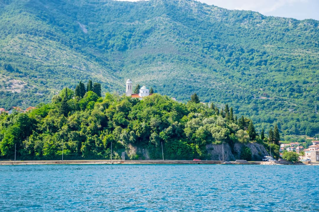
Bijela's strongest protected heritage is not on the beach. The wooded rise and stone churches visible around the settlement remind visitors that Bijela did not begin with the shipyard. The Municipality of Herceg Novi's cultural-property study records the Church of the Robe of the Mother of God—Crkva Riza Bogorodice—as immovable cultural property protected since 1957. It describes a terraced complex: the larger church and former school on the lower level, with the Church of Saints Cosmas and Damian and an old cemetery above. The study also records older fabric and fresco significance, making conservation more important than ticking off an interior. The legacy page, by contrast, assigned the Church of St George medieval origins and described its interior without citing a heritage register; this rewrite does not repeat a date it cannot support.
Approach as a worship site and cemetery. Dress modestly and speak accordingly, silence phones, avoid services unless attending respectfully, and never photograph worshippers, graves at close range or liturgical objects without permission. A closed door is not a failed attraction. Published heritage status establishes significance, not opening hours. A viewpoint does not grant access to graves, terraces or household lanes. Claims about rare books or a particular manuscript being on display should not be repeated without a current inventory and authorised-access notice.
The uphill lanes can be steep and shaded surfaces slippery after rain. Carry water, use shoes with grip and turn back if a private gate or unclear path replaces the public route. For a longer heritage walk with comparable gradients and living-village etiquette, see Gornji Stoliv’s chestnut route or the responsible-visit guide to Žlijebi stone village. For accessible literary heritage closer to central Herceg Novi, the Topla guide explains two better-defined visitor sites. If you want documented church and monastic history, pair Bijela with the researched Savina Monastery guide rather than improvising labels from a map.
| Terrace | What stands there |
|---|---|
| Lower terrace | Riza Bogorodice + old school |
| Upper terrace | Saints Cosmas and Damian + cemetery |
| Access note | Protected status since 1957 does not guarantee visitor entry |
Source: hercegnovi.me
Practical transport: the Kamenari ferry, road and bus
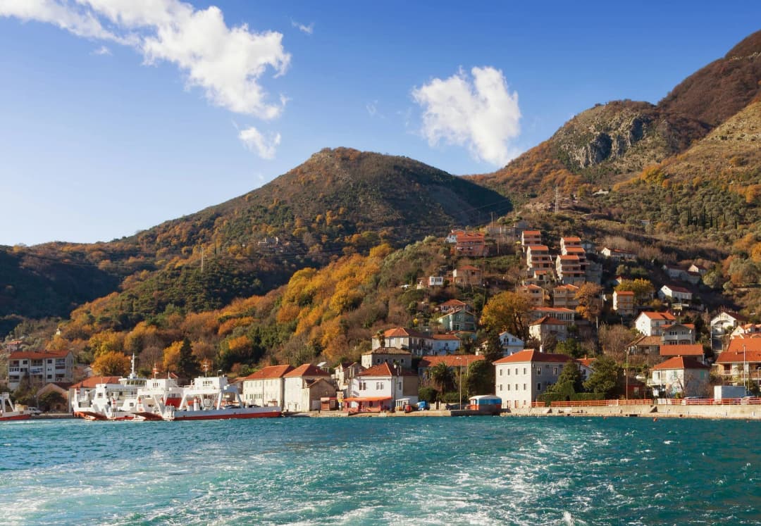
Bijela sits on the main coastal corridor between Herceg Novi and Kamenari. That is useful and limiting at once. Its strongest transport advantage is proximity to Kamenari, where the ferry crosses the Verige strait to Lepetane, shortening many journeys towards Tivat compared with driving around the inner bay.
Do not copy a frequency from the operator's timetable page for a 2026 trip: when checked, its downloadable summer file was dated 2024 and its displayed winter validity ended on 30 April 2025. Obtain current confirmation directly from the operator, using the official ferry ticket platform for current categories and price and the public operator's current sailing notice for service. Loading queues, weather and operational changes can still affect the trip, and a frequent schedule still permits a vehicle queue.
Under the current official tariff, pedestrians, cyclists and people with disabilities travel free. Motor vehicles are charged by class and season, so use the operator's price page instead of a copied fare. For an airport appointment, build in margin for the queue, embarkation and onward road; the short water crossing is only one part of the transfer. Dubrovnik Airport can be geographically tempting, but border delay makes any fixed travel-time promise misleading.
Local buses use the coastal corridor and can connect the Riviera settlements, but service frequency, stops and payment practice change between school days, weekends and high season. Ask the local operator or tourist information office for the dated timetable, confirm the stop name in both directions, identify the stop on both sides of the road, and check whether the last return suits dinner plans. Preserve a backup for evening travel and do not plan around the old page's minute-by-minute promises. Walking along the main road can be uncomfortable where pavements narrow; after dark, visibility and the exact access lane to accommodation matter. Cyclists should treat the highway as traffic infrastructure, not as a relaxed bay cycleway.
Driving provides flexibility but not immunity from delay. The road carries residents, buses, deliveries and visitors through a narrow built-up strip. Ask whether accommodation parking is on site, how wide the access is and whether a large vehicle can turn without reversing into traffic. “Free parking nearby” is not a specification.
Where to stay and eat without invented rankings
Choose the waterfront strip for the shortest swim-and-coffee routine, accepting more road and social noise, limited parking and compact shore access. Choose just above the highway, in an uphill lane, for possible quiet and views, after checking the gradient, stairs and parking. Choose the Kamenari side—the eastern side—if repeated ferry trips towards Tivat are central. Choose westward for the Baošići–Đenovići–Kumbor corridor and evenings in Herceg Novi. In every case, verify the actual walking route rather than judging from straight-line distance.
Ask hosts five concrete questions: Is there a legal guest-registration process? Is parking reserved rather than merely “nearby”? How many steps separate the room, road and shore? Which exact bathing access do guests use? Are windows effectively insulated from road or yard noise? An honest answer is more valuable than a broad “five minutes from everything.”
For every property, request dated photos and explicit answers about air conditioning, blackout, hot water, Wi-Fi test, kitchen equipment, washing, waste collection and tourist registration. If mobility matters, ask for a continuous step-free route from parking or bus stop to room and water; “ground floor” may still sit above exterior steps. Travellers planning an onward journey can use our Montenegro-to-Albania guide to avoid treating Bijela as if it were already on the southern-coast corridor.
Restaurants and cafés can be seasonal. Do not travel for a legacy recommendation without checking that it still operates, whether a reservation is needed and how dietary requests are handled. Fish sold by weight should have the price explained before ordering. A market display is not proof of local catch, and “homemade” is not an allergen statement.
Registration and tourist tax in 2026
The Herceg Novi Tourist Organisation's residence-tax page assigns accommodation providers a duty to register guests within 24 hours. The same page gives €1 per adult per night, €0.50 for ages 12–18 and no charge for children under 12, with further statutory exemptions. Registered accommodation normally handles registration and collection; ask the provider to confirm what it completed rather than assuming an online booking performed the legal step.
Separately, the organisation's visitor-facing 2026 notice lists a seasonal information and stay-registration bureau at MZ Bijela, the local-community office. That service notice is not the source of the provider's 24-hour duty. Because seasonal dates and desk hours can change, check before walking there. The fuller Montenegro tourist-tax and registration guide explains what to retain, what private hosts must do and where foreign-visitor registration fits.
A low-friction day in Bijela
- Early morning: use the nearest verified public bathing point before traffic and heat build. Read the site board and enter only where depth and footing are visible.
- Late morning: walk one section of the waterfront and observe the working-bay landscape from public space. Do not approach shipyard gates or photograph workers at close range.
- Afternoon: rest, then take a deliberate uphill visit to the protected church complex if conditions, clothing and access are appropriate.
- Evening: eat locally or travel towards Herceg Novi only after checking the return bus or arranging a taxi. Summer road congestion can turn a casual outing into a long transfer.
A second day can use the Kamenari ferry as a foot passenger, but design the outing around the onward route from Lepetane. The ferry itself is a transport link, not a complete excursion. Keep a separate weather plan: rain makes steep lanes less attractive, while strong sun can make an exposed shore day tiring.
Day trips that reveal the Bay
Westward, the Riviera settlements lead toward Herceg Novi. Kumbor shows another former military waterfront redeveloped for high-end tourism; Đenovići and Baošići retain residential and small-harbour rhythms between new projects. Our Kumbor guide and Đenovići guide help separate the places instead of presenting the coast as one continuous promenade.
Continue west for Herceg Novi's stairs, squares, fortresses and Savina. The Kanli Kula and Forte Mare guide explains access differences that a single “fortress visit” label hides. Do not schedule a steep old-town circuit immediately before a fixed airport departure.
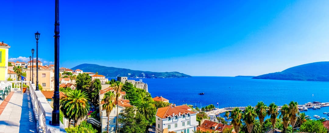
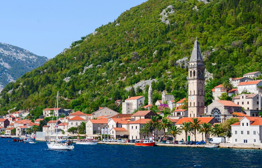
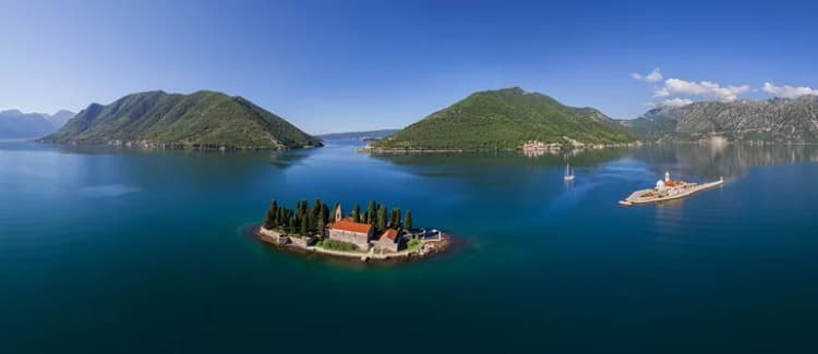
Eastward, Morinj, Risan and Perast show older maritime and aristocratic layers of the inner Bay. Perast is compact but visitor pressure, limited road access and boat marketing demand patience. Use our Perast guide and confirm museum and boat details on the day.
.webp&w=1080&q=75)
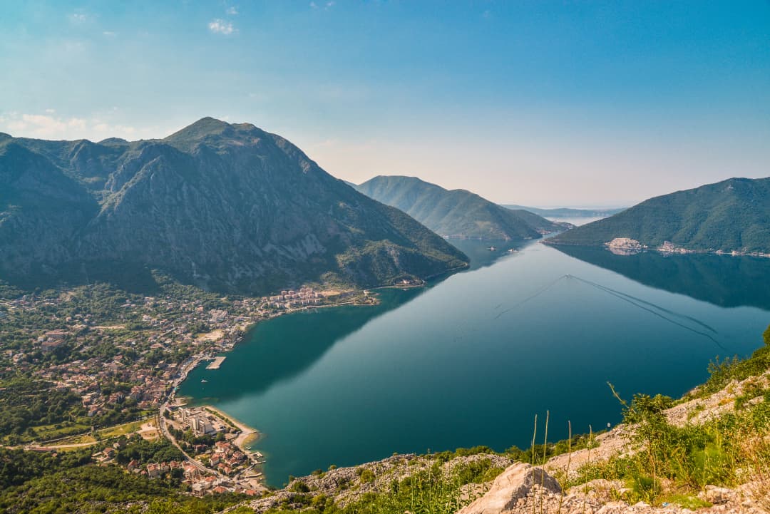
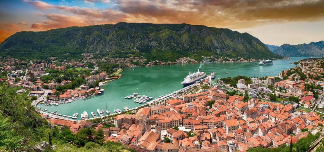
For Tivat, Luštica or Budva, the ferry can avoid the long inner-Bay circuit, but destination traffic remains. For Kotor, the correct choice between ferry and Bay road depends on origin, queue and current congestion. There is no permanently fastest route. Our Bay of Kotor guide gives the full geographic framework.
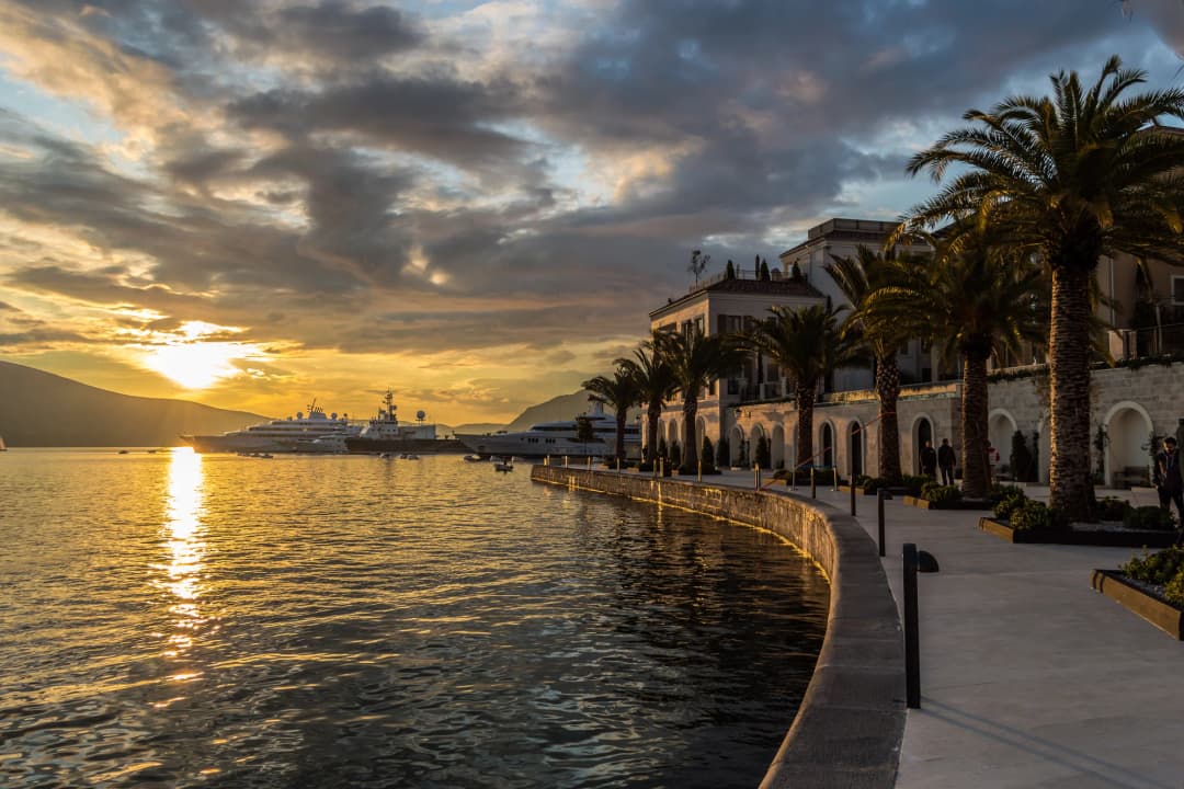
Best time: decide by purpose
| Period | Strength | Constraint | Plan |
|---|---|---|---|
| April–May | Comfortable walking and green slopes | Variable rain; some seasonal services unopened | Pack layers and confirm every business |
| June | Long days and generally warmer water | Traffic and heat begin rising | Do errands and road transfers early |
| July–August | Full seasonal offer | Heat, crowds, queues, noise and higher demand | Protect midday; add transport margin |
| September | Often warm enough for a coast-focused stay | Weather and service levels begin shifting | Keep a rain and closure alternative |
| October–March | Local rhythm and quiet | Rain, shorter days and reduced visitor services | Book for heating, not only sea view |
Historical climate averages are useful for packing, not a forecast. Check official weather and marine warnings close to the day. Thunderstorms can make swimming, small boats and exposed waterfronts inappropriate even after a calm morning.
Safety and responsible use
- Keep clear of active berths, cranes, fenced industrial land and vessel manoeuvres.
- Do not jump from a pontoon without checking depth, boat traffic and a safe exit.
- Leave shellfish and other marine life in place; appearance cannot establish harvest legality or food safety.
- Use bins and refillable bottles. Small waterfront sections have little capacity for abandoned inflatables or bulky waste.
- Treat churches, cemeteries and residential lanes as living community spaces rather than open-air sets.
- Check heat, storms and water quality on the day; a destination guide cannot certify conditions.
Frequently asked questions
Is Bijela a good base for first-time visitors?
Yes for travellers who want a calm, practical bay base and understand that major sights require transport. No if the trip depends on walking directly into an old town or spending each day on a broad natural beach.
Is the Bijela shipyard closed?
The original Jadransko Brodogradilište company entered bankruptcy and stopped operating in 2015. A new 30-year concession and operator later returned the site to yacht refit, repair and maintenance under Adriatic 42. Calling that an uninterrupted continuation is inaccurate.
Can visitors tour the shipyard?
Do not assume so. Adriatic 42 is an active refit and maintenance facility, not a public industrial museum. Observe only from lawful public space unless the operator announces an authorised event.
Is the industrial cleanup complete?
Large quantities of hazardous blasting grit were removed and soil remediation took place. An April 2025 World Bank concept document identified residual contaminated soil, classified there as non-hazardous, for managed removal; later material reviewed here does not establish the current completion status. Use current official project notices and stay outside controlled areas.
Can I swim in Bijela?
There are local bathing access points, but this guide does not certify every shore. Check the exact site's current monitoring notice, entry and exit, boat traffic, weather, water condition and any closure sign before swimming.
Does Bijela have sandy beaches?
Do not book on that assumption. The shore is mixed and fragmented, with pebble, made surfaces and pontoons. Ask the host for a current, named bathing access and recent unedited photographs.
Is Bijela a good base without a car?
It can be if the accommodation lies on a safe walking route to services and a current bus stop. Verify the dated timetable, final return, road crossings and luggage route. A car-light stay is different from assuming every Bay attraction is directly connected.
How long does the ferry take?
The water crossing is short, but total journey time includes reaching Kamenari, buying or validating a ticket, queueing, boarding and onward traffic. Check the live service and never build a flight connection around a bare crossing time.
Can I reach Tivat Airport through the ferry?
The Kamenari–Lepetane ferry is the direct crossing used for the Tivat side of the bay. Allow generous time for reaching Kamenari, loading or walking aboard, crossing and the onward road. Check live operations before an airport deadline.
Is the ferry free?
The current operator price page says pedestrians, cyclists and people with disabilities travel free. Vehicles are charged by category and season; recheck the official tariff for the travel date.
Are the Bijela churches always open?
No public timetable is established here. Their protected status does not create guaranteed museum access. Visit respectfully, accept closure and seek local parish information for services or authorised entry.
Is Bijela cheaper than Kotor?
It may offer different inventory and value, but a universal percentage saving is not supportable. Compare the same dates, cancellation terms, taxes, parking, view, air conditioning and walking access before deciding.

.jpg&w=2048&q=75)