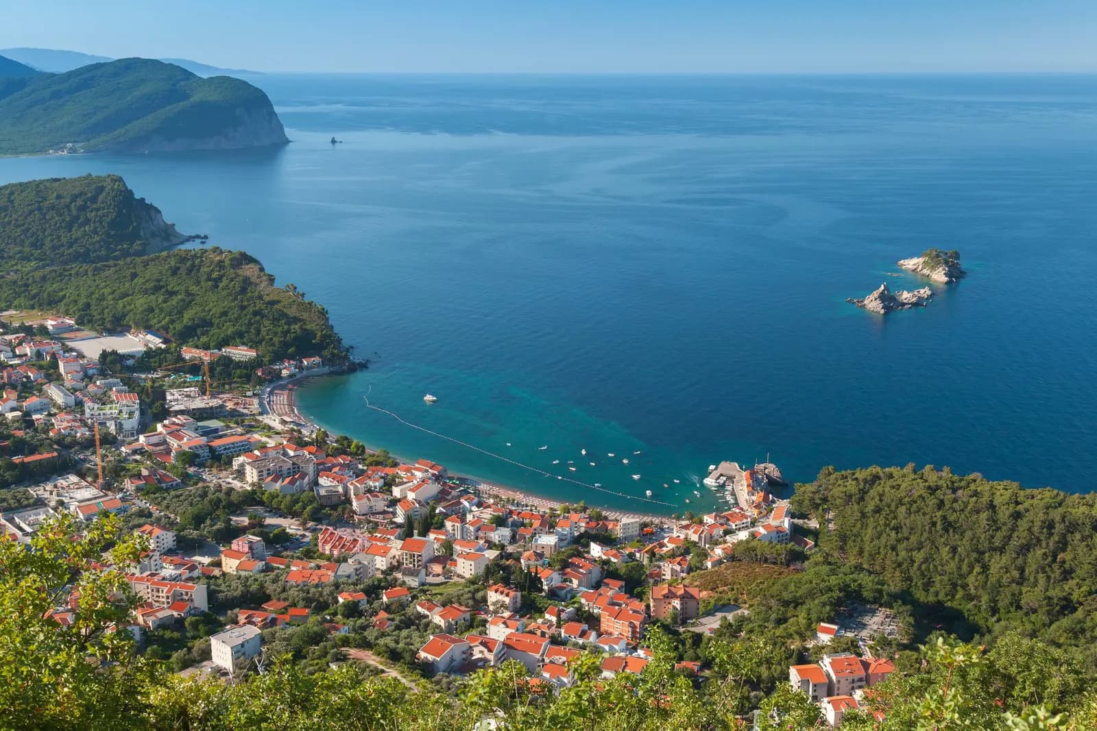
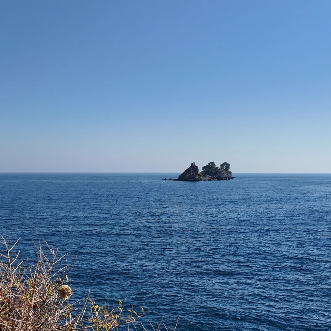
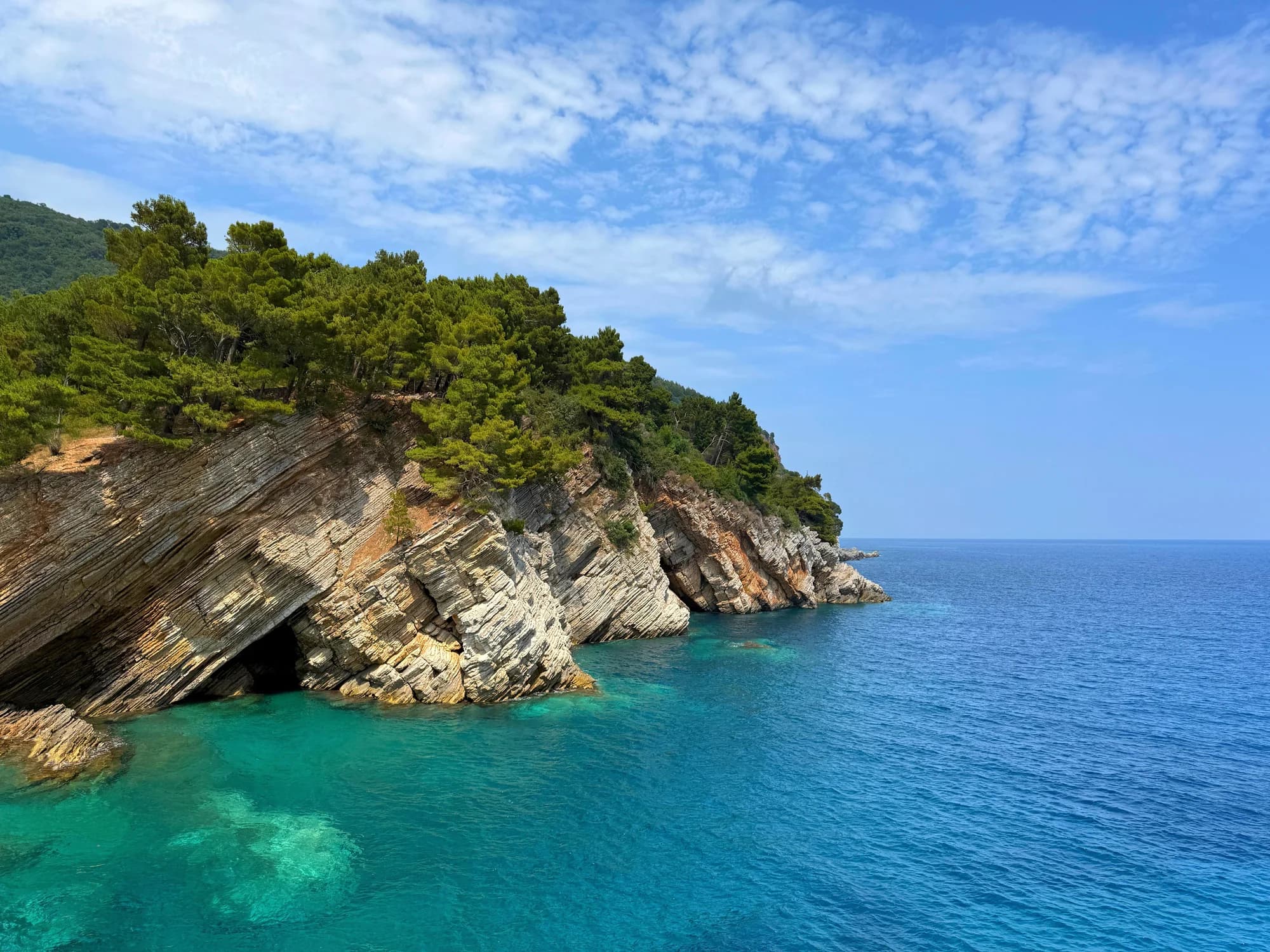
Katič and Sveta Nedjelja are not simply two rocks to swim toward from Petrovac. They sit about 800 m from the town beach inside protection zone II of Katič Nature Park. The smaller islet carries a simple chapel and several origin traditions; the larger lies beside protected seagrass and coral habitat. Current park rules prohibit anchoring in zone II and place recreational and tourist visits under a controlled, approval-based framework.
The safest complete experience is available from land: identify the pair from Petrovac’s beach and promenade, view them from Kastio, and read the chapel story as oral tradition rather than a verified shipwreck report. If considering a boat or self-powered craft, confirm the exact route, authorization and no-anchor procedure with the operator and park manager before departure.
| Established | Not established |
|---|---|
| Two small islets off Petrovac | A universally accepted name for each rock |
| About 800 m from Petrovac Beach | A safe or supervised swimming route |
| Zone II of a 2,744 ha nature park | Unrestricted landing or chapel access |
| Anchoring prohibited in zone II | Permission from a casual boat offer |
| Small historic chapel on the lesser islet | A documented construction date or founder |
| Several recorded origin traditions | One proven shipwreck narrative |
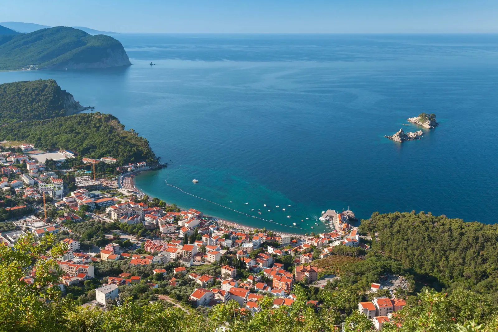
Which islet is Katič?
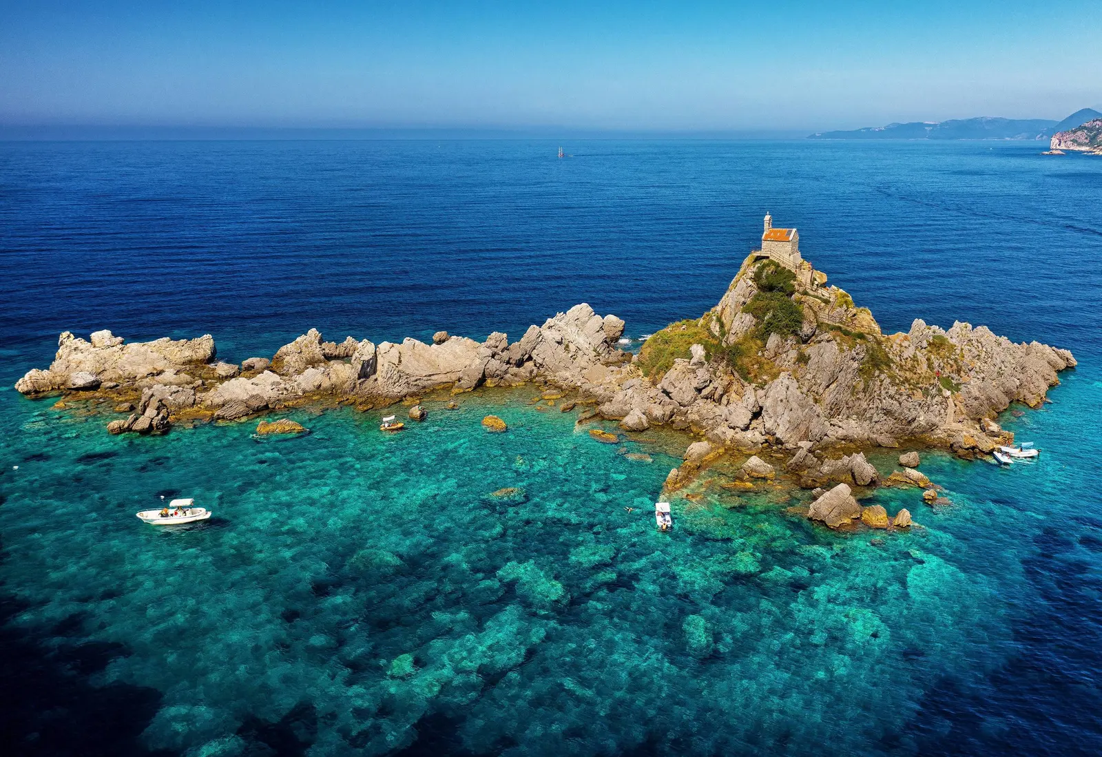
Modern visitor language usually calls the larger, bare rock Katič and the smaller chapel-topped rock Sveta Nedjelja. Institutional sources reveal why naming can be confusing. Budva Museums describes two islets—Sveta Nedjelja with its church, and Katič—while its chapel page says the smaller Katič took the chapel’s name. The park’s internal-order decision uses the technical forms Mali Katič for the chapel rock and Veliki Katič for the larger one.
Use the visual distinction rather than arguing over labels: the chapel identifies the smaller islet. On a chart, permit, operator plan or safety call, repeat the exact name and position used by that authority. An article cannot reconcile every historical and local naming convention into one legal coordinate.
What the sources say
The public coastal manager places the pair at approximately 800 m from Petrovac Beach. Budva Tourism uses the looser phrase “several hundred metres.” Those descriptions are compatible as visitor orientation. Neither is a surveyed swimming line, and the direct visible gap says nothing about wind, current, waves or vessel movement.
| Feature | Detail |
|---|---|
| Petrovac | town beach |
| Distance offshore | ≈800 m |
| Larger rock | no chapel |
| Chapel rock | identifying marker |
| Use | Orientation only · not a route or swim plan |
Source: morskodobro.me, muzejiigalerijebd.me
The islets are inside protection zone II
Montenegro’s Government approved Katič as a protected nature park in 2021, and the formal decision was published on 25 October. The public coastal manager describes it as the country’s second integrated coastal and marine protected area. Its 2,744 ha extend from Cape Skočiđevojka to Cape Štrbina and include Perazića Do, Petrovac Beach, Lučice, Buljarica, Pećin, Čanj, Maljevik and both islets.
The park has two protection zones. The manager rounds zone II to 276 ha and zone III to 2,468 ha; the internal-order decision gives 276.90 ha and 2,468.29 ha. This is one park, not one permission. The zone-II unit around Mali and Veliki Katič extends toward the Petrovac bay along a technical boundary defined in the declaration. Visitors should not reconstruct it from an illustration or GPS guess.
The park’s internal-order decision says visitors must obey the law, declaration, information boards, signs, warnings and wardens. For zone II, it permits controlled educational, recreational and tourist visits only in an area to be determined from an expert basis and with prior approvals. It also prohibits motor-vessel speeds above 10 knots, except for service vessels of the park manager and competent services controlling activity at sea. That speed ceiling is a restriction, not authorization to enter, stop or land.
| Order | Coastal segment |
|---|---|
| 1 | Skočiđevojka |
| 2 | Perazića Do |
| 3 | Petrovac |
| 4 | Lučice |
| 5 | Buljarica |
| 6 | Pećin |
| 7 | Čanj |
| 8 | Maljevik / Štrbina |
| — | islets |
Source: morskodobro.me
Why the water around Katič is protected
The strongest reason is below the surface. The manager identifies Posidonia oceanica seagrass beds as a core conservation value. It also identifies coral communities around Veliki Katič and Maljevik, plus caves around Pećin. On land, the protected values include Mediterranean rocky shore with endemic Limonium, thermomediterranean scrub and annual vegetation of shifting shores.
The internal-order decision names seagrass and coralligenous habitat around the two islets among the areas that must not be destroyed or damaged. It prohibits anchoring throughout zone II, disturbing or killing species, damaging habitat or archaeological values, discarding waste and polluting the sea. Visitors must carry waste out and may not light fires.
This changes the meaning of “small boat trip.” A responsible operator must have a lawful route and stopping method that does not rely on dropping an anchor beside the rocks. “We always do it” is not an authorization. Ask where the vessel remains, how passengers move, whether the route enters zone II and which approval covers any landing.
| Layer | Rule |
|---|---|
| rock + coastal plants | no collecting or disturbance |
| Posidonia beds | no anchoring in zone II |
| coral communities | no collecting or disturbance |
Source: morskodobro.me
The chapel: three traditions, no proven founder
Budva Museums describes the chapel as small, rustic and of simple construction, raised “in ancient times.” Crucially, the institution records multiple traditions rather than one settled history. One says sailors funded it. Another says a Greek sailor built it after surviving a shipwreck on the holy day called Nedjelja. A third connects its existence to the era when Mahmut Pasha Bushatli devastated Paštrovići.
These accounts cannot all function as the same construction record. The Greek-sailor story may be the most memorable, but the reviewed institutional page supplies no date, donor inscription, archaeological sequence or archive document proving it. The honest version is richer: coastal memory preserves competing explanations for why a chapel stands on an exposed rock.
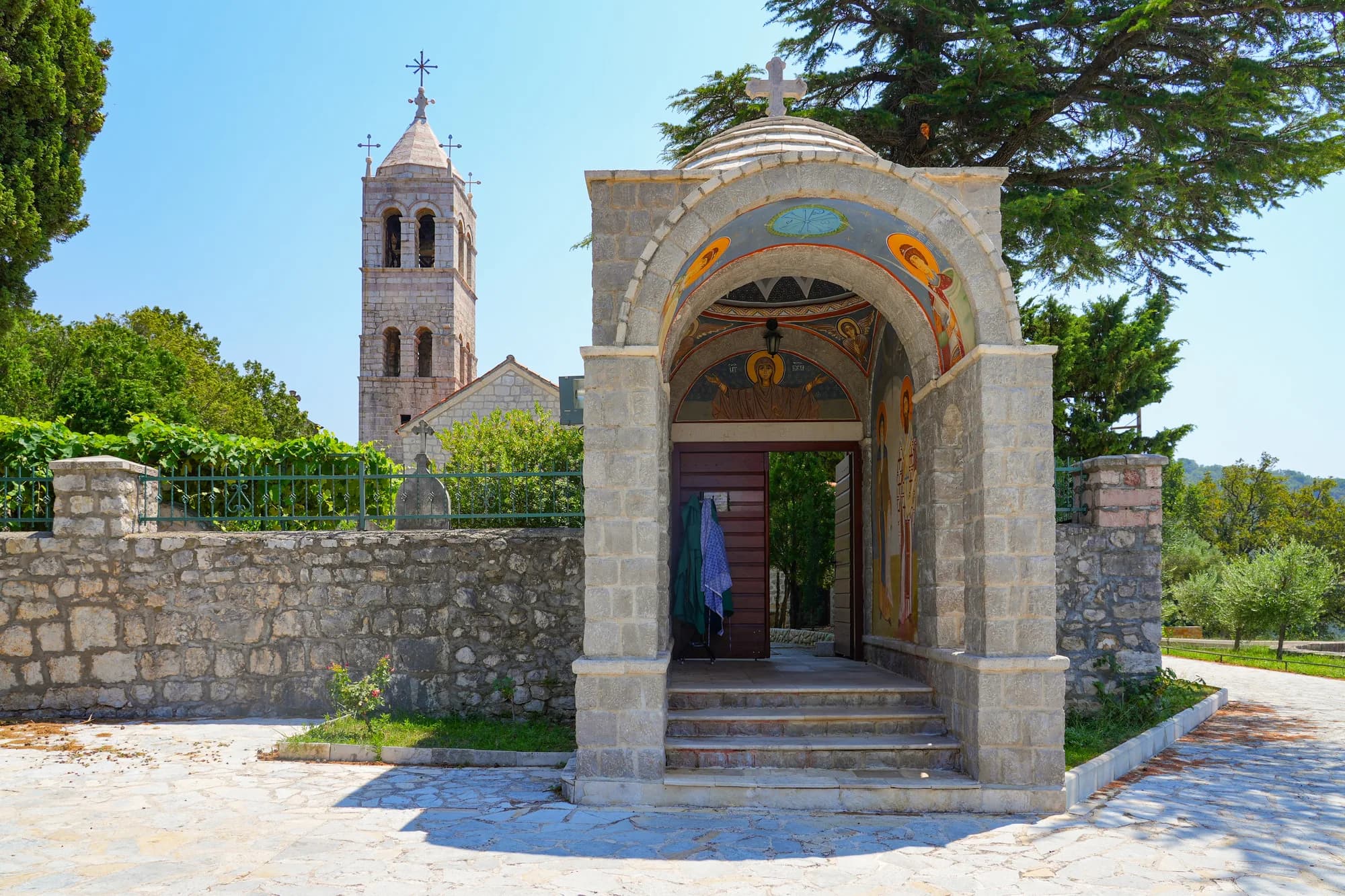
The park manager lists the Church of Sveta Nedjelja as cultural heritage alongside Kastio, Lazaret and Mirišta. That establishes its heritage importance, not a daily opening schedule. The inherited claims that the chapel was destroyed in the 1979 earthquake, rebuilt later and has a bell visitors should ring for luck are omitted because the reviewed official and institutional sources do not document those details or visitor permission.
| Tradition | Attribution | Status |
|---|---|---|
| tradition 1 | Sailors' contributions | Unproven: exact founder + date |
| tradition 2 | Greek survivor | Unproven: exact founder + date |
| tradition 3 | Bushatli era | Unproven: exact founder + date |
| — | Chapel + heritage value | Documented |
Source: muzejiigalerijebd.me, morskodobro.me
Do not treat the islets as a marked swim
The 800 m figure is long enough for wind, current, chop, fatigue and boat traffic to matter, and a round trip doubles exposure. More importantly, Petrovac’s organized bathing water is managed through signed boundaries and lifeguard coverage; the park page does not designate a supervised swim corridor to the islets. A confident pool or beach swimmer is not automatically prepared for open-water navigation.
Stay inside the marked bathing sector shown on the current beach board. The public coastal manager says an organized bathing area should have marked sea boundaries, rescue equipment, licensed lifeguards and flags. Green means safe bathing, yellow limited or potentially dangerous conditions, and red prohibited or no lifeguard on duty. None of those flags grants permission beyond the designated area or onto a protected islet.

| Factor | What it means |
|---|---|
| Distance | ≈800 m each way |
| Exposure | wind + current + chop |
| Traffic | vessels may be hard to judge |
| Exit | bare rock is not a beach |
| Access | zone-II rules still apply |
| Advice | Remain inside the marked bathing area |
Source: morskodobro.me
Four ways to experience the view
1. From the beach and promenade
This is the lowest-impact option and the only one that needs no marine access assumption. Walk the public promenade, use a long lens and let changing light alter the silhouettes. The dedicated month-by-month weather guide can help with seasonal expectations, but the same-day forecast controls.
2. From Kastio
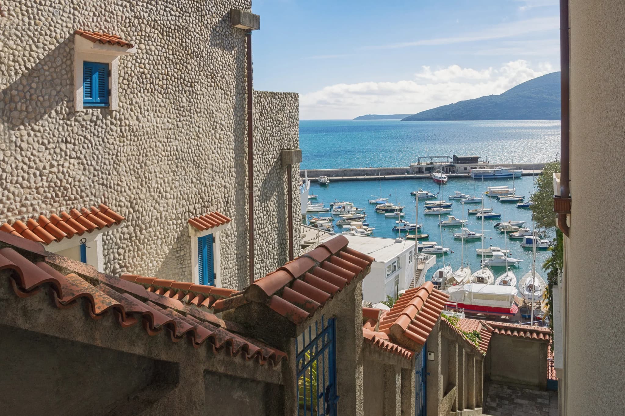
The fortified waterfront gives elevation and historical context, subject to current public access and barriers. Our Kastio guide explains why the fort and former Lazaret belong to the same maritime landscape as the chapel.
3. With a current authorized operator
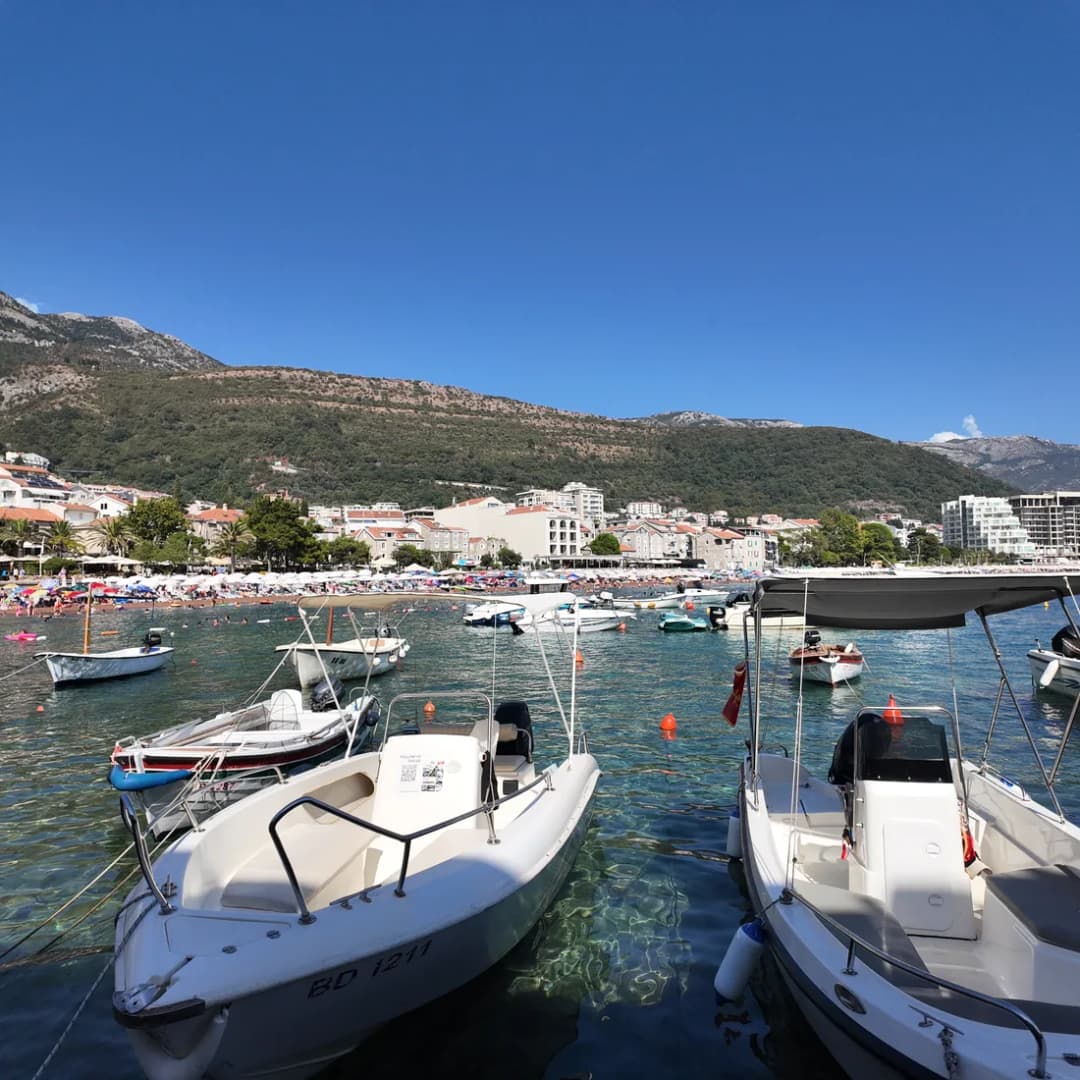
Ask for the operator’s legal identity, exact vessel and route, lifejacket provision, group size, weather decision, cancellation terms and the approval covering any zone-II visit or landing. Ask directly how the vessel complies with the anchoring prohibition. A shoreline sales pitch is not enough.
4. By kayak or paddleboard
Self-powered does not mean permission-free or condition-proof. The zone-II visitor framework, weather, traffic visibility, flotation, group competence and landing status still matter. Confirm the current rule with the park manager and use a qualified local provider; do not infer access from another protected place. The Blue Cave guide shows how quickly marine rules can change.
| Option | Requirement |
|---|---|
| Shore | no marine entry |
| Kastio | verify public access |
| Authorized operator | route + approval |
| Self-powered | rules + competence |
| Self-directed swim | not recommended by this guide |
Source: morskodobro.me, gov.me
What to ask before any boat departure
A credible answer should be specific enough to audit. “The sea is calm” does not answer a protected-area question, and “everyone lands there” does not answer a safety question.
- Who operates the vessel, and where can the authorization be verified?
- Does the route enter protection zone II, and how is its 10-knot motor-vessel cap observed?
- Is this a viewing circuit or a landing, and which approval covers it?
- How does the vessel stop without anchoring in zone II?
- What personal flotation is provided in the correct sizes?
- Who cancels for wind, waves, visibility or traffic, and what refund applies?
- Where exactly are departure and return, and what happens if landing becomes unsafe?
Do not pay for an answer that changes after departure. In high season, build a land-based fallback rather than accepting an unsuitable vessel because the day is busy. Our high-season guide explains why capacity pressure is a reason for stronger checks, not weaker ones.
| Step | Question to ask |
|---|---|
| 1 | Operator identity |
| 2 | Exact zone and route |
| 3 | Landing approval |
| 4 | No-anchor method |
| 5 | Correct flotation |
| 6 | Weather cancellation |
| 7 | Departure + return |
| — | No clear answers? Keep the shore plan |
Source: morskodobro.me, gov.me
Respect the chapel without entering it
Heritage respect begins before physical access. Do not ring a bell, enter the chapel, attach objects, leave candles, carve the rock or move anything unless a current custodian or authorized guide explicitly permits the act. A repeated online ritual is not proof that the building, bell or landing can absorb unlimited visitors.
Use a long lens from public land. Do not fly a drone without checking aviation, local, privacy and protected-area rules. Avoid geotagging a landing line as if it were a public trail. The smaller the site, the more quickly one informal instruction can become damaging visitor volume.
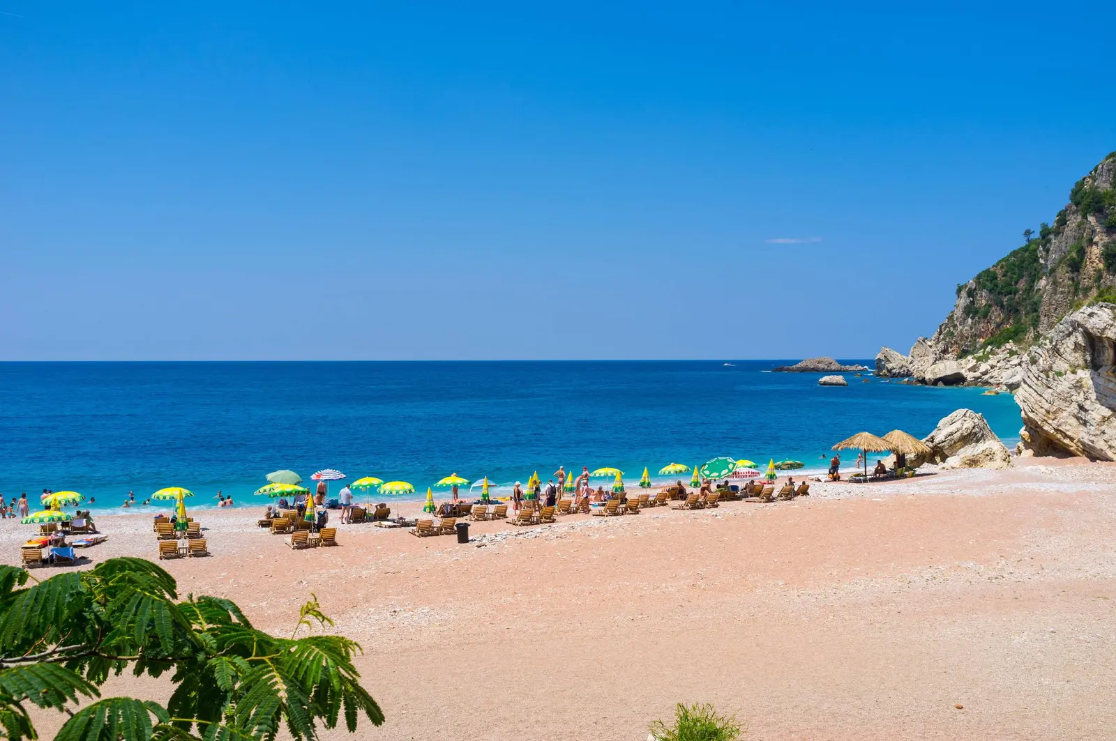
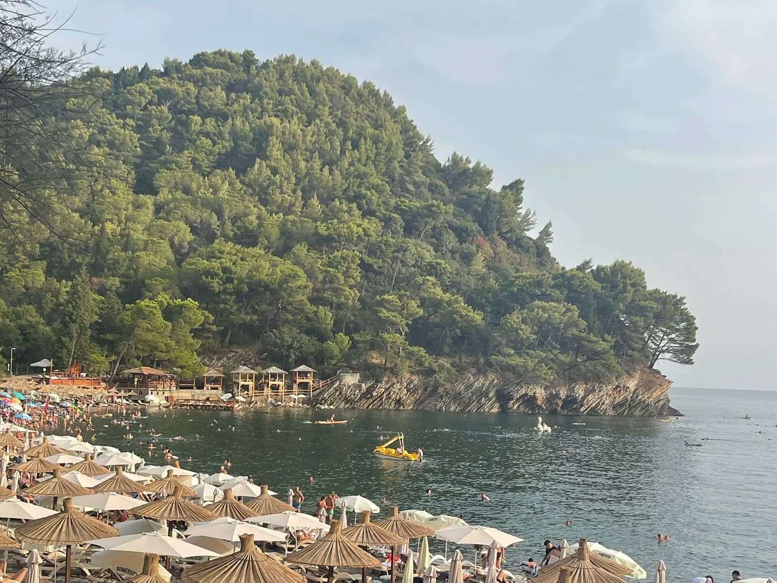
For another beach within the same park, compare Lučice; its organized bathing questions are different from zone-II islet access. For a deliberately quieter Petrovac stay, the off-season guide explains what remains variable outside summer.
Practical same-day plan and emergency contacts
Start at Petrovac’s bathing-area board. Check the flag, wind, visibility and vessel traffic even if remaining on land. Walk the promenade and Kastio viewpoint first. If a verified operator is available, compare its answers with the park rules; if not, keep the land circuit and use the second half of the day for Lučice or Petrovac’s heritage sites.
The Maritime Operations Center monitors traffic, transmits meteorological and navigational information and coordinates search and rescue. Its dedicated maritime-safety emergency number is 129. Montenegro’s integrated emergency number is 112. In an emergency, give your position, nearest landmark, number of people, craft description and nature of distress; then follow instructions. Saved numbers do not guarantee mobile reception.
| Number | Service | Use for |
|---|---|---|
| 129 | maritime safety | search + rescue at sea |
| 112 | integrated emergency | multi-service coordination |
| Report | position · landmark · people · craft · incident | then follow instructions |
Source: gov.me
| Step | Check |
|---|---|
| 1 | Beach board and flag |
| 2 | Forecast, visibility and traffic |
| 3 | Shore and Kastio views first |
| 4 | Operator route, approval and no-anchor plan |
| 5 | Missing answer? Use the land fallback |
Source: morskodobro.me, gov.me
Frequently asked questions
How far are Katič and Sveta Nedjelja from Petrovac?
The park manager gives approximately 800 m from Petrovac Beach. Treat it as orientation, not a measured swim route or duration estimate.
Which islet has the chapel?
The smaller rock has the Chapel of Sveta Nedjelja. Park documents also call it Mali Katič; naming varies, so identify it visually by the building.
Can I swim to the islets?
This guide does not recommend it. The crossing is open water beyond an ordinary marked bathing sector, with weather, current, traffic, fatigue and protected-area access questions.
Can a boat anchor beside Katič?
The park’s internal-order decision prohibits anchoring in protection zone II, which includes the unit around Mali and Veliki Katič. Ask an operator to explain its lawful no-anchor method.
Can visitors land at the chapel?
Do not assume so. Zone-II tourist and recreational visits are controlled and tied to designated areas and prior approvals. Ask the park manager and operator for the current rule and authorization.
Was the chapel built by a Greek shipwreck survivor?
That is one of several traditions recorded by Budva Museums. Others say sailors funded it or associate it with the Bushatli era. The reviewed source provides no proven founder or construction date.
Should I ring the chapel bell?
Not without explicit current permission from an authorized custodian or guide. A repeated visitor story is not a public-access rule.
What should I do if no authorized trip is available?
Use the beach, promenade and Kastio viewpoints. Continue with the wider Montenegro travel-coverage audit for context or plan a separate signed beach day at Velika Plaža; neither requires turning the islets into a landing objective.
The most responsible Katič visit may never leave shore. The islets are visually powerful because chapel, rock and sea form one composition. Protection keeps that composition—and the habitat below it—from becoming merely another unchecked excursion.

.JPG&w=2048&q=75)
