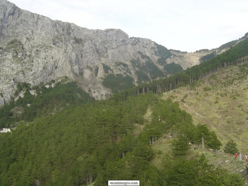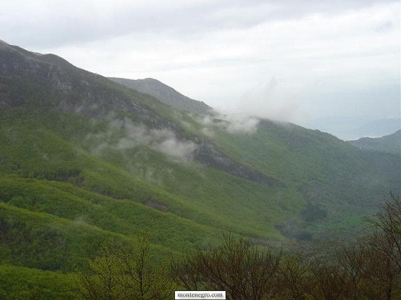
The old Montenegro.com photo essay praised a group for leaving the “official” path to reach Njegoš Mausoleum through fog and May snow. It did not record a track, date, gradient, equipment list or decision points. Those omissions make the story unusable as directions. This replacement begins with the route Lovćen National Park actually publishes: a 4.8-kilometre, medium-grade linear trail from the Ivanova Korita visitor centre to Jezerski vrh, then builds the weather, return, museum and conservation decisions around it.
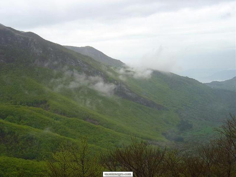
Lovćen is a mountain system, not one summit
What the sources say
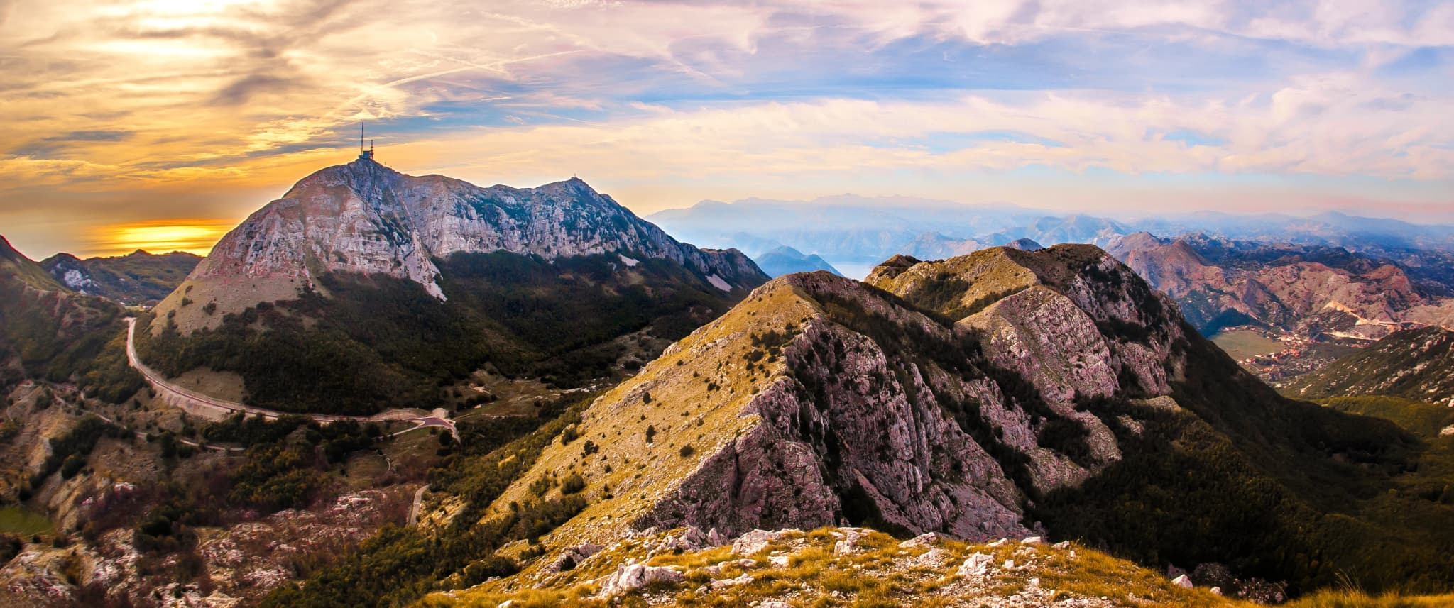
The National Tourism Organisation places Lovćen National Park between roughly 939 and 1,749 metres. Štirovnik is the highest point at 1,749 metres; Jezerski vrh, where the mausoleum stands, is lower at about 1,657 metres. Treating the mausoleum as “the top of Lovćen” confuses the best-known cultural destination with the mountain's highest elevation.
That distinction matters operationally. A mausoleum visit can begin near the upper road and still include 461 tunnel steps. A hike from Ivanova Korita adds a marked mountain approach. A summit-oriented trip toward other high ground raises separate questions about infrastructure, access, navigation and exposure. This guide does not present Štirovnik as a casual alternative.
For the wider park, settlement and road context, start with our complete Lovćen guide. For standards that apply across the country—group planning, navigation, water, lightning and emergency communication—use the Montenegro hiking guide.
The official Ivanova Korita–Mausoleum trail
Lovćen National Park's active-holidays page publishes a route from the visitor centre via the Ivanova Korita spring, Blatišta and Mali Bostur to Jezerski vrh. It lists 4.8 kilometres, medium difficulty, approximately two hours and a linear format. That is the best available official starting point—but it contains an ambiguity a careful guide must expose.
“Linear” means the route does not naturally return to its start. The page does not say clearly whether 4.8 kilometres and two hours describe one direction or the whole outing. Do not assume. Ask the visitor centre, inspect the current map and decide whether to return on foot, use a prearranged vehicle at the upper end, or choose a circuit whose published endpoints match your transport.
| Item | Published value | Note |
|---|---|---|
| Length | 4.8 km | published length, linear route |
| Time | ≈ 2 h | published time |
| Difficulty | medium difficulty | — |
| Return | RETURN? | not clarified |
| Planning step | confirm + add margin | A safe plan accounts for transport or a full walk back. |
Source: nparkovi.me
| Option | Published form | Best for | Critical check |
|---|---|---|---|
| Visitor centre–Jezerski vrh | 4.8 km; medium; about 2 h; linear | Hikers who want the mausoleum as destination | Whether metrics are one-way and how to return |
| Treštenički vrh–Babina glava | 13 km; about 3 h; circular | A landscape circuit without relying on a pickup | Current marking, pace and whether published time fits group |
| Staza Vuka | Park-listed educational circuit | Shorter interpretation near Ivanova Korita | Current map, length, surface and seasonal state |
| Kraljevo počivalo–Zlatarice | Remarked in 2025 | Link toward cable-car area | Current endpoints and cable-car operation independently |
| Majstori–Stanjevići | Remarked in 2025 | Longer cultural-landscape connection | Transport, total distance and descent logistics |
| Međuvršje–Goliš–Jezero–Jezerski vrh | Remarked in 2025 | Experienced walkers with current route data | Snow, water-body conditions and exact track |
The last three routes were announced as newly marked in August 2025. A marking announcement is not a permanent warranty. Paint fades, snow covers signs, forestry alters junctions and maps lag. Obtain current route information from park staff instead of stitching together social-media tracks.
Turn the visitor-centre stop into a route briefing
A useful briefing produces specific answers, not a general “the trail is open.” Show staff the intended route on the current map and name the direction of travel. Ask where the first marker is, which colour or symbol identifies the route, whether any junction has changed, and whether snow, fallen trees or forestry work interrupts the line. Confirm whether the published 4.8 kilometres and two hours are one-way figures. If the answer remains uncertain, plan for the more demanding interpretation.
Then ask about the destination. The trail endpoint, mausoleum parking area, tunnel entrance and viewpoint are not interchangeable. Establish where the walking time ends and how much ascent remains. Ask when the visitor centre and upper facilities close, but keep those operating hours out of the safety calculation: staff departure does not provide a late hiker with transport, light or rescue cover.
Record the answers in the group leader's phone and on paper. Take a photograph of the current map only if staff permit it; a photograph is easier to share than one person's memory. Mark the planned turnaround time, vehicle location and alternative rendezvous. Before leaving, make every adult repeat the response to three failures: lost marker, worsening cloud and missed pickup. This small exercise exposes misunderstandings while help and road access are still close.
The park may recommend a different route on the day. Treat that as new planning, not an automatic substitution. Compare its distance, elevation, technical character, endpoint and transport with the original plan. If those facts are unavailable, choose a short interpreted walk near Ivanova Korita or a road-based museum visit instead of improvising a mountain traverse.
What the archive proves—and what it cannot
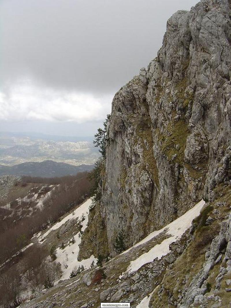
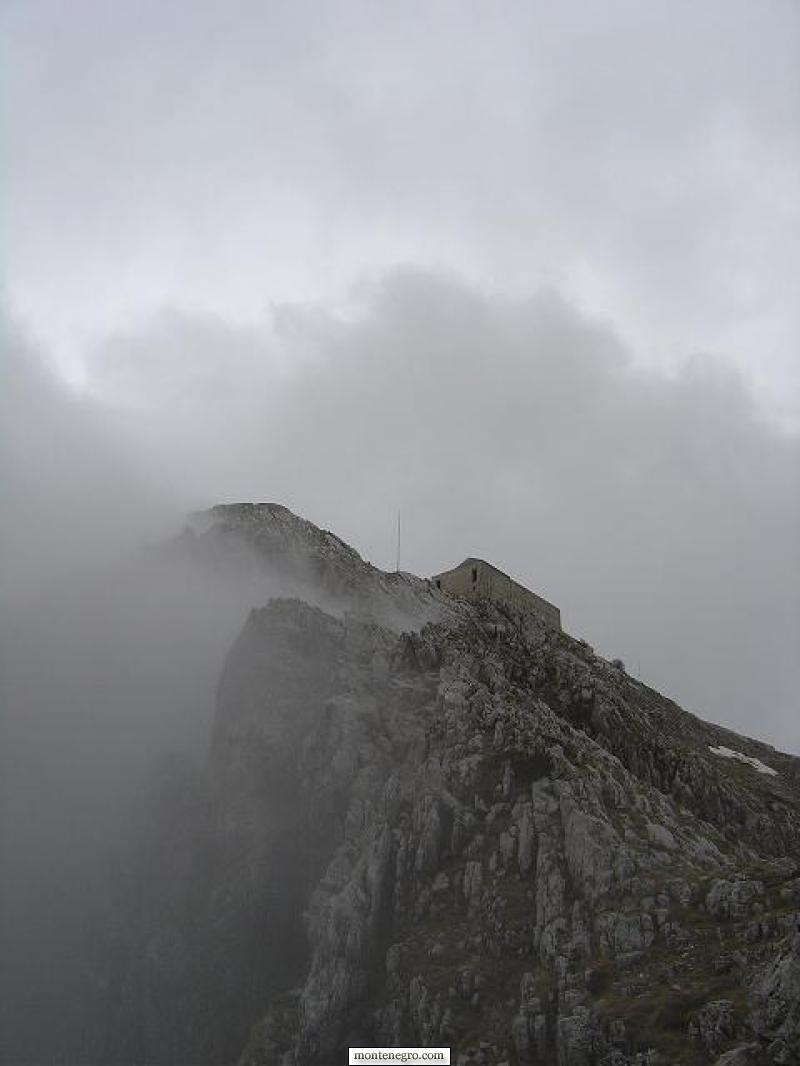
The source essay credits photographer Đorđije Kalezić and says the group hiked through fog and May snow to the mausoleum by a route other than the official path. Fifteen photographs support the presence of low visibility, lingering snow, exposed rock and arrival at Jezerski vrh. They do not establish the start, line, direction, date, equipment, snow stability or whether the party had permission and sufficient experience.
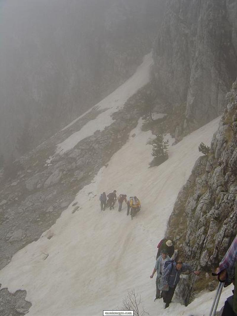
A summer walking trail can become a mountaineering problem under snow. Hard morning snow may require traction and self-arrest competence; soft afternoon snow can hide holes and collapse around rocks. A traverse above a dangerous runout is qualitatively different from walking a flat patch. This article cannot assess the pictured snow years later, and readers should not copy it.
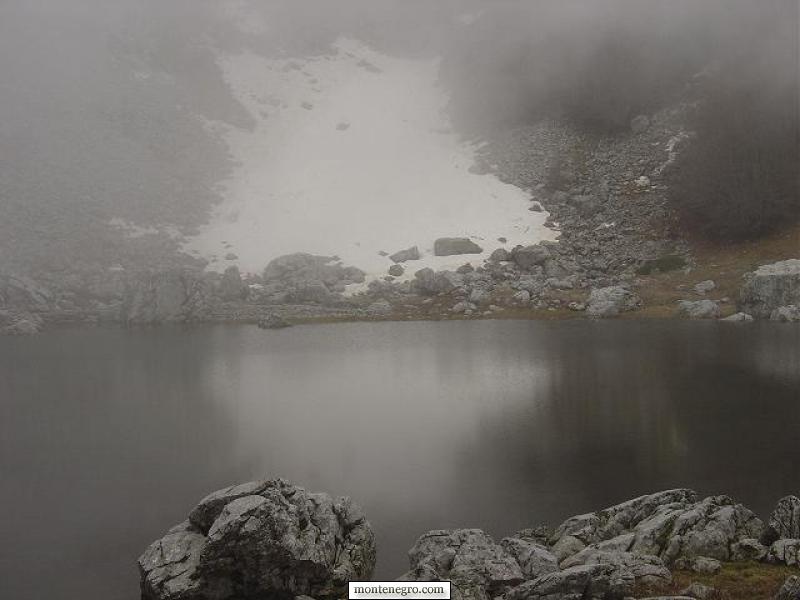
The archive calls a dark pool a mountain lake. Its photograph shows water, snow and rock but cannot establish whether it is a permanent named lake, temporary snowmelt or another feature. The current draft management plan mentions a Jezero route, yet that does not identify the old image. Precise restraint is more useful than a confident caption.
Fog changes navigation before it changes difficulty
Lovćen rises abruptly between the Adriatic, Bay of Kotor and Cetinje basin. Cloud can remove long-distance reference points while leaving a path physically walkable. That is exactly when a casual group can drift onto limestone, forestry tracks or snow. Turnaround should be based on navigation confidence and margin, not on whether legs still feel strong.
Carry an offline official map plus a charged phone and independent power. A downloaded crowd-sourced track is backup evidence, not authority. Keep the group together at junctions, record the last confirmed marker and reverse early if markers disappear. Do not descend an unknown slope because a road seems audible below.
Manage the group for the least certain walker
Fog separates parties quietly. Put a competent navigator at the front and a designated adult at the rear; neither changes position without telling the other. Regroup at every junction, road crossing and transition from forest to open limestone. Visual contact is the minimum. In thick cloud, shorten spacing until voices are reliable without shouting into the landscape.
A faster walker should not be sent alone to find the route. If the line is uncertain, the entire group stops at the last confirmed point while the leader checks only within immediate visual contact. Mark the time spent investigating: a ten-minute error in both directions can consume the turnaround margin. If certainty is not restored quickly, reverse on the known line.
Children, inexperienced hikers and anyone anxious near exposure need explicit permission to stop the group. Cold, dehydration and fear impair decisions before they become dramatic. Ask about hands, feet, balance and concentration at scheduled pauses rather than waiting for a complaint. Split parties create two navigation and communication problems; only separate when the return route, responsible adults and meeting point are unambiguous.
Use the national hydrometeorological service and compare mountain-level cloud, precipitation, wind and temperature with our Montenegro weather guide. A Kotor or Cetinje forecast alone may not describe Jezerski vrh. If thunder is possible, avoid exposed ridges and do not make the mausoleum terrace a lightning objective.
The mausoleum is a second objective after the hike
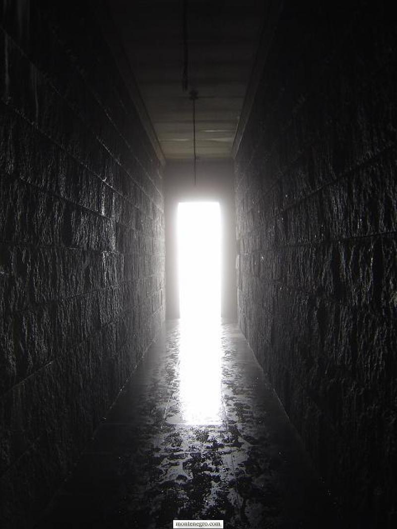
The National Museum says Njegoš Mausoleum was built in 1974 to Ivan Meštrović's design and reached through a tunnel of 461 steps. Those steps come after the mountain approach. Someone who completes the hike may still lack time or mobility for the museum sequence, and the descent remains after the visit.
The current museum visitor page presents seasonal opening and a winter closure period. Treat live museum confirmation and trail safety as separate gates: an open museum does not certify the hiking route, and a safe trail does not make a closed museum accessible. Check park entry and museum admission independently.
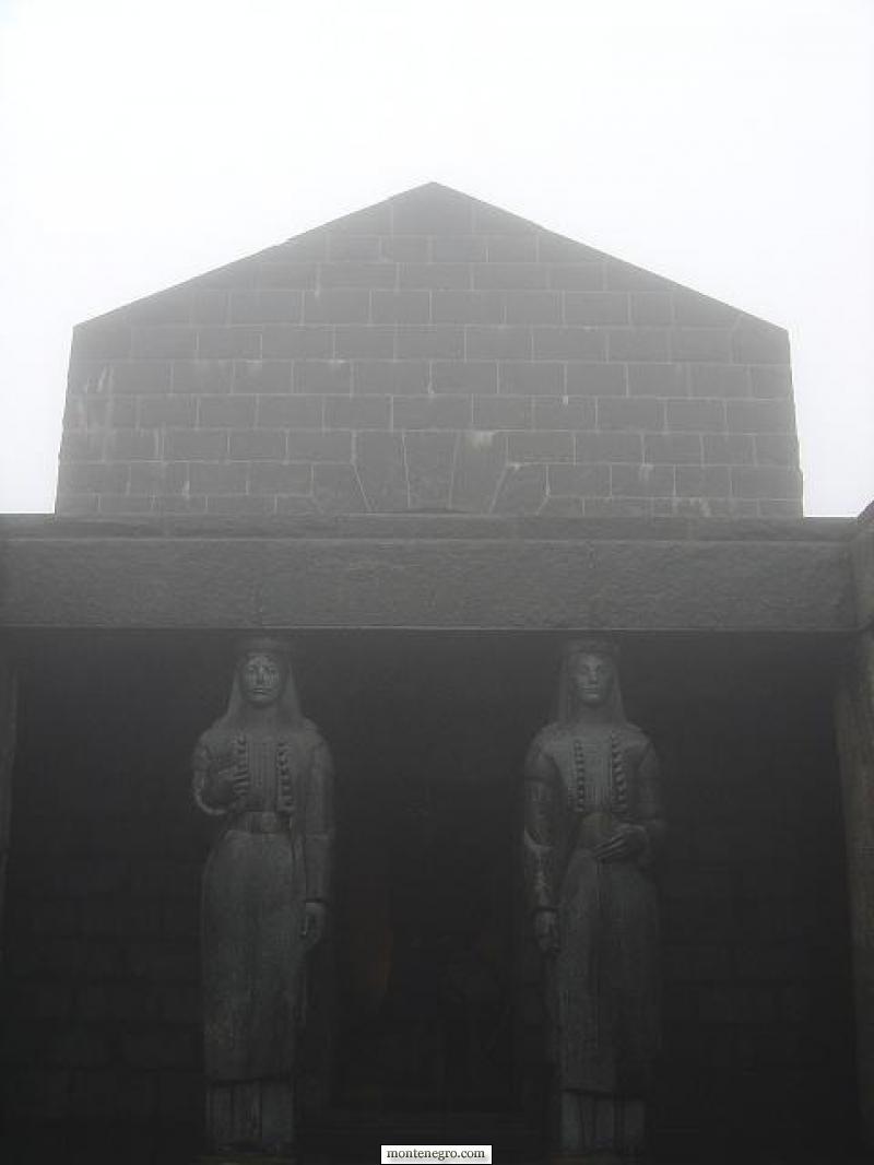
Inside, reduce noise and follow photography rules. The monument is both a museum site and the burial place of Petar II Petrović-Njegoš. The two caryatid figures, dark stone, central sculpture and crypt belong to a deliberate architectural sequence; they are not merely shelter from poor weather. Our Cetinje guide and the National Museum's Biljarda collection provide the political, literary and museum context that a summit selfie cannot.
Accessibility requires a step-by-step audit
“Reachable by car” is not the same as accessible. A realistic inquiry should cover the road-to-entrance surface, parking distance, gradients, handrails, rest points, the 461 tunnel steps, toilets and evacuation assistance. Ask the National Museum about the visitor's specific needs and date; do not rely on an old review or a photograph that excludes the approach.
For someone able to walk only part of the sequence, identify the last comfortable turnaround before beginning. The exposed viewpoint beyond the monument may add stairs and uneven stone even after the museum threshold. A companion who provides physical assistance also needs reserve for the return. Weather can make handrails, paving and vehicle transfers wet, cold or slippery.
Travelers who cannot complete the tunnel should still be included in the cultural plan. Pair the mountain landscape with the National Museum collections in Cetinje, where staff can confirm current access arrangements, or use an agreed viewpoint that does not require the summit sequence. Describe this honestly as an alternative experience—not as equivalent access to the mausoleum.
Read the cultural landscape below the monument
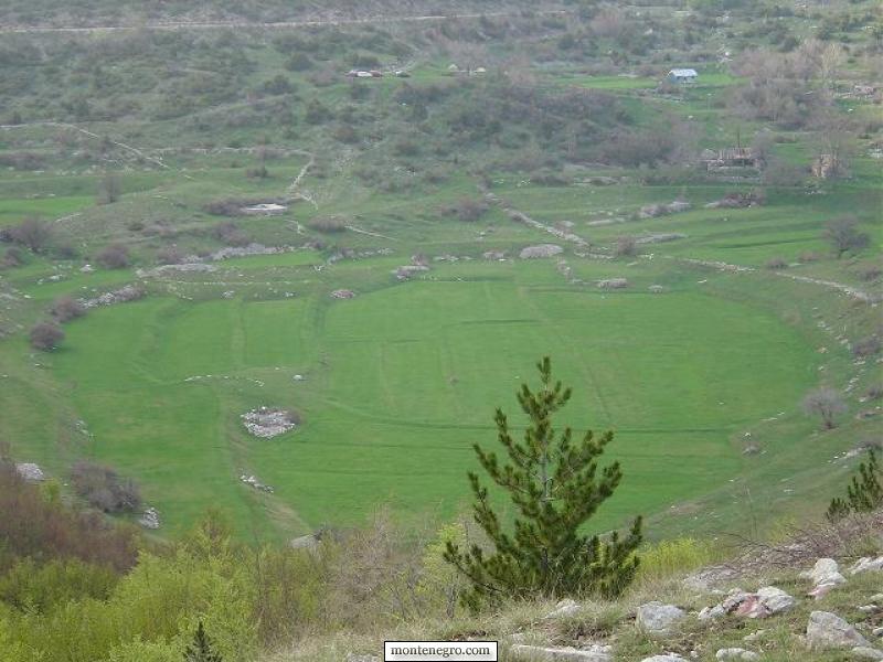
Official park material describes memorial, sacred, village and technical heritage around Njeguši and Ivanova Korita. The path network crosses beech forest, old stone roads, katun landscapes, fields and viewpoints. Hiking only to “conquer” the monument misses how movement, seasonal pastoral use and stone construction made the mountain legible.
Do not cross walls, enter huts, disturb livestock or remove stone. A meadow can be private or actively cut; a spring can serve households; an apparently abandoned structure can have seasonal use. If adding Njeguši, make it a deliberate food-and-history stop rather than a hurried purchase at the end of a late descent.
Biodiversity requires staying on durable routes
A government planning document reports roughly 1,300 plant taxa across the Lovćen massif and identifies the park within a wider protected and Emerald-network landscape. That scale does not license species identification from a photograph. The archive includes snails and low alpine plants, but no expert determination or collection data; they remain unnamed.
Stay on the current marked trail, especially across thin karst soil and wet ground. Step around plants rather than widening the path. Carry out food scraps and tissues. Keep dogs under the park's current rules and away from livestock and wildlife. Do not collect flowers, snails, fossils or rock. Drone use requires legal, park and privacy checks and should never disturb nesting birds or other visitors.
Spring water is not automatically potable. Carry enough from the start and treat any natural source only under reliable current advice. Wildfire risk can close or transform routes; open flame and discarded cigarettes are incompatible with a national park.
Approach roads and transport decide the route
Ivanova Korita is roughly ten kilometres from Cetinje in official tourism material, making the old royal capital the cleanest base. Driving from Kotor is visually dramatic but adds a winding mountain approach before the hike. Consult our Montenegro driving guide and never assume a passenger-car transfer is a trivial prelude.
From the coast, the elevation change is substantial and the Bay of Kotor may be clear while Lovćen is clouded. Cruise passengers using our Kotor guide should not attempt a full hiking circuit on a narrow ship-return window. Traffic, parking, museum queues and a cautious turnaround can exceed a sightseeing schedule.
If using a taxi, agree whether it waits, meets at a different endpoint or returns at a fixed time. Mobile contact does not replace a missed-pickup plan. If the intended trail is linear, name both endpoints in writing and confirm that the driver understands them.
Gear by consequence, not by season label
| System | Carry or confirm | Failure it addresses |
|---|---|---|
| Navigation | Current park map, offline copy, charged phone, power bank, compass skill | Fog, missing marker, wrong forest track |
| Weather | Waterproof shell, insulating layer, sun protection, hat/gloves when cold | Rapid cooling, wind, rain and exposed sun |
| Footing | Hiking footwear with grip; poles if competent | Wet limestone, leaf litter and loose ground |
| Water/food | Full supply plus reserve | Closed services, unsafe spring, delayed return |
| Emergency | First aid, whistle, light, emergency contact and route shared off-mountain | Immobilisation, darkness, communication delay |
| Museum | Live hours, ticket method, stair capacity and closing margin | Reaching a closed site or exhausting the group |
| Snow | Current condition report and skills/equipment matched to terrain | Slip, hidden hole, navigation loss, avalanche-like runout consequence |
This list is not a certification. If snow equipment would be needed and the group cannot identify that equipment or use it, choose a snow-free route or turn back. Trail-running shoes may be comfortable on dry path but perform poorly on wet limestone or hard snow. Cotton layers can accelerate cooling when soaked.
Three realistic day structures
1. Trail-first, mausoleum optional
Begin at the visitor centre with current route confirmation. Walk the published Ivanova Korita trail only while visibility, markers and surface agree with the briefing. Reach Jezerski vrh with enough margin to decide whether the 461-step museum visit and return remain reasonable. This structure treats safe return as the primary objective.
2. Mausoleum-first, short interpretation walk
For travelers whose main interest is Njegoš or who cannot commit to the full mountain route, reach the upper visitor area by arranged road transport, complete the stairs if able, then return to Ivanova Korita for a short park-approved educational trail. It is still physically demanding and must not be called accessible without current facility confirmation.
3. Landscape circuit without the mausoleum
Choose the published Treštenički vrh–Babina glava circuit or another staff-recommended loop so start and finish match. The park lists 13 kilometres and about three hours for that circuit, but build in substantial margin. A circular route removes pickup logistics; it does not remove weather or navigation risk.
Whichever model you choose, do not combine it casually with the full seven-day itinerary's other attractions. A good Lovćen day can include one Cetinje museum or one Njeguši meal, not every Bay viewpoint and coastal town.
Practical go/no-go gate
At breakfast, check the mountain forecast, park notices, museum status and road access. At Ivanova Korita, ask staff about the precise route metrics, return, water, snow, damaged markers and last safe museum entry. At the trailhead, verify that every person has clothing, water and footwear. At each junction, confirm the marker before continuing. At a predetermined turnaround time, return regardless of summit distance.
Build time from components, not one headline estimate
Start with the park's approximate trail time, then add separate allowances for briefing, navigation stops, food, weather clothing, photographs, the tunnel stairs, museum visit and return transport or walking. Do not hide those activities inside a faster walking pace. A group moving at three kilometres per hour on clear path may average far less once elevation, junction checks and a slower member are included.
Set three clocks. The decision clock is when the group must choose whether to continue to the monument. The turnaround clock is the latest reversal regardless of progress. The road clock preserves a buffer before darkness, driver departure or another fixed obligation. Museum closing time can tighten the first clock but should never extend the other two.
On a linear route, calculate the return before the ascent begins. If walking back, reserve at least the time justified by the terrain and group; descent is not automatically faster on wet limestone or tired legs. If using a pickup, keep the full walking return as a contingency only when daylight, fitness and route knowledge make it genuinely feasible. Otherwise the transport arrangement is a single point of failure and the route should change.
Stop immediately for thunder, hard snow without competence, deteriorating visibility, lost markers, injury, uncontrolled fear near exposure or a return plan that no longer fits daylight. Call 112 for a genuine emergency and provide location, group condition and last confirmed landmark. Do not continue merely to improve phone signal unless emergency guidance directs it.
International first-time visitors should also review our Montenegro practical guide. Learn the local words for help, trail and danger in the language guide, but preserve battery and carry written location information rather than relying on translation software.
Frequently asked questions
How long is the hike from Ivanova Korita to Njegoš Mausoleum?
The park publishes 4.8 kilometres, medium difficulty and about two hours for a linear visitor-centre–Jezerski vrh route. It does not clearly say whether those metrics include a return. Confirm with park staff and add the walk back or arranged transfer explicitly.
Can I follow the snow route in the old photographs?
No. The archive provides no track, date, gradient, snow assessment or equipment record. It shows consequential terrain and should be treated as historical evidence. Use a current marked route and turn around if snow obscures it or exceeds the group's skills.
Is Jezerski vrh the highest point of Lovćen?
No. Official tourism material places Štirovnik at about 1,749 metres and Jezerski vrh at about 1,657 metres. The mausoleum makes Jezerski vrh the cultural focus, not the mountain's highest summit.
Is the mausoleum open year-round?
The National Museum's current visitor page presents a seasonal open period and winter closure. Dates and hours may change, especially with weather. Verify directly on the day; museum opening and trail safety are independent decisions.
Can someone with limited mobility visit?
The museum approach includes a tunnel of 461 steps, and the hiking route adds uneven mountain terrain. Current assistance, road access and alternative viewing cannot be inferred from photographs. Contact the National Museum and park with the person's specific mobility needs before travel.
Is the published 13-kilometre circuit really only three hours?
That is the park's approximate figure for the Treštenički vrh and Babina glava circuit. It implies a brisk pace before stops. Navigation, elevation, group speed and conditions can extend it substantially; use the official estimate as a reference, not a deadline.
Can I hike from Kotor and return the same day?
Long approaches from the coast are separate mountain undertakings, not extensions of the 4.8-kilometre Ivanova Korita route. Use an official current track, experienced planning and transport margin. Cruise passengers should avoid itineraries whose safe return depends on perfect timing.