0 accommodations available
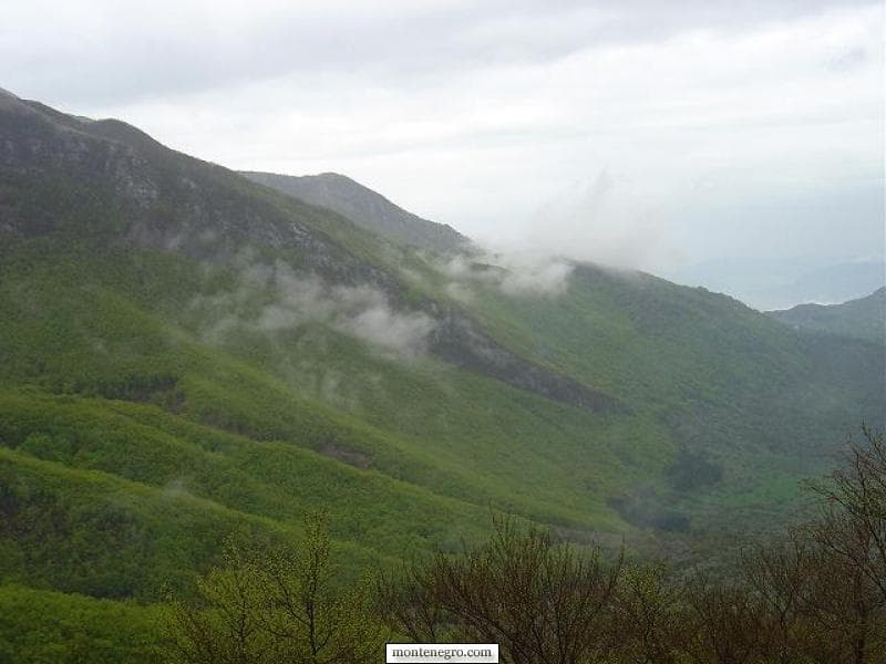
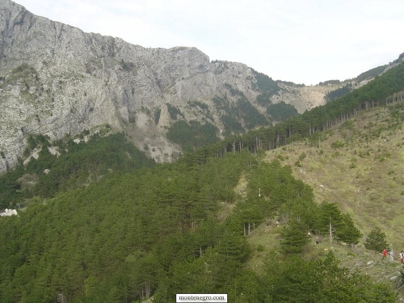
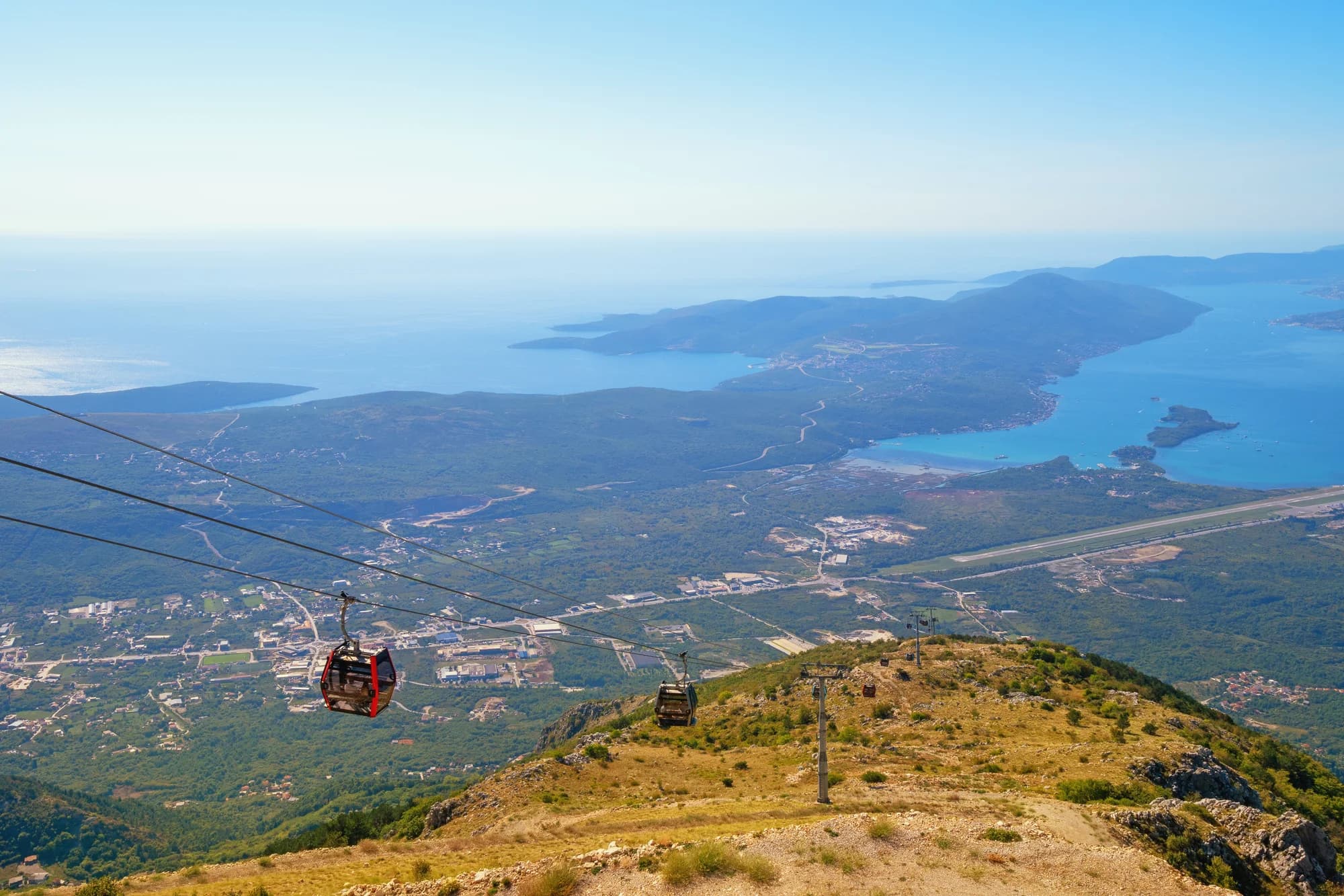
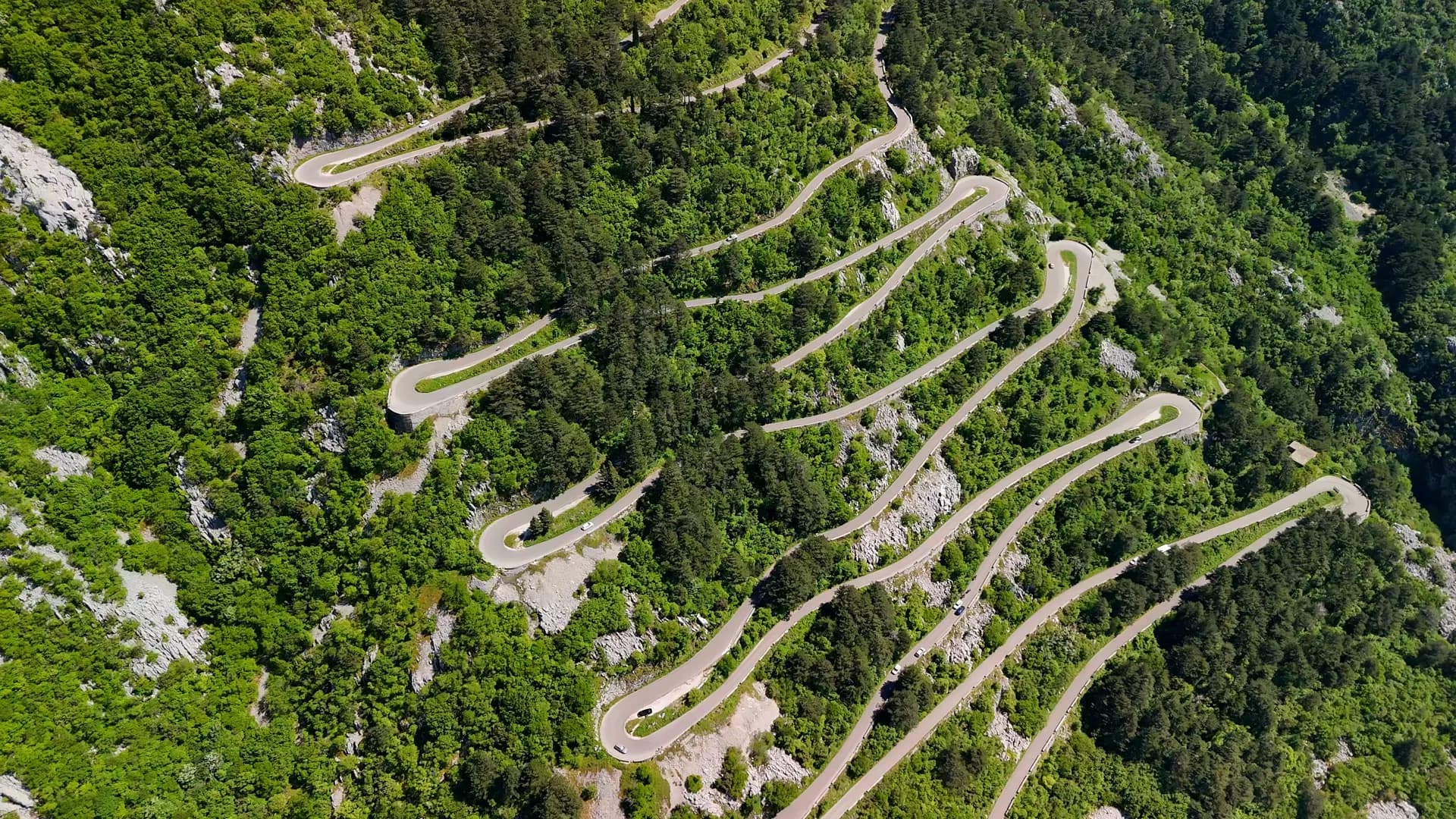
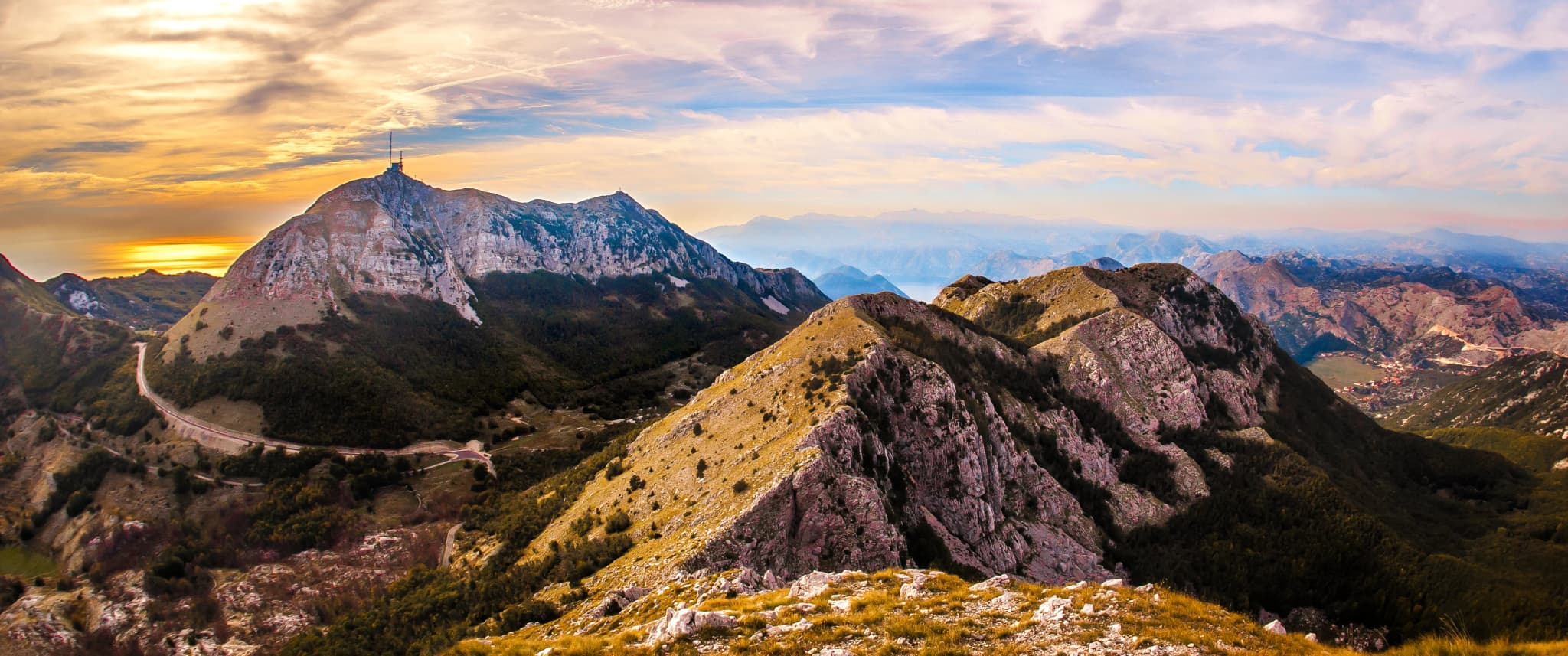
Mount Lovćen rises directly behind the Bay of Kotor, a dark limestone massif that gave Montenegro its name and much of its idea of itself. Its two main summits — Štirovnik at 1,749 metres and Jezerski vrh at 1,657 — stand at the centre of a national park established in 1952, where beech forest, karst pasture and bare grey rock meet the edge of the coastal escarpment. The mountain has long served as the country's natural fortress and its symbol. On top of Jezerski vrh sits the Mausoleum of Petar II Petrović-Njegoš, the bishop, ruler and poet who shaped modern Montenegrin identity. Designed by Ivan Meštrović and completed in 1974, it is reached through a tunnel and 461 steps cut into the rock, opening onto a terrace where two granite caryatids guard the entrance and a seated granite figure of Njegoš waits inside beneath a gold mosaic ceiling. The view from the terrace takes in the bay, the open Adriatic, Skadar Lake and the mountains of the interior, and on the clearest days the Italian coast across the sea. Getting there is half the experience. The serpentine road from Kotor climbs the escarpment in a long series of hairpins, each one opening a wider view over the bay, and joins the old route through Njeguši — Njegoš's birth village, and home of Montenegro's best-known smoked ham and cheese — before dropping to Cetinje, the old royal capital at the mountain's foot. Ivanova Korita, a meadow basin inside the park, has walking trails, picnic ground and space for children to run. Lovćen suits drivers, hikers and anyone with an interest in Montenegrin history, and it works as a day out from Kotor, Budva or Podgorica. May to October is the season: the mausoleum and the high roads close or turn difficult under snow, and even in summer the summit is far cooler and windier than the coast below, so carry a layer.
Search thousands of hotels and apartments with live prices.
We may earn a commission from partner links. This helps us keep Montenegro.com free for travelers.
Search hotels, apartments and guest houses with live availability.
We may earn a commission from partner links. This helps us keep Montenegro.com free for travelers.
The mountain that rises directly behind Kotor and the national park declared around it in 1952. It is the symbol of old Montenegro — the black mountain the country is named for — and separates the coast from the karst plateau and Cetinje.
The tomb of Petar II Petrovic Njegos, prince-bishop and poet, on Jezerski vrh at 1,657 m. Designed by Ivan Mestrovic and completed in 1974, it is reached by 461 steps through a tunnel, and the terrace behind it gives a view across most of the country.
Stirovnik, the highest point, reaches 1,749 m. Jezerski vrh, where the mausoleum stands, is 1,657 m. Neither is far from the road, which is why Lovcen is one of the easiest high viewpoints in Montenegro to reach.
By the old serpentine road above the town, a sequence of twenty-five hairpins climbing the wall of the bay. It is narrow, spectacular and slow; allow an hour to Njegusi and more in season, and check that the road is open outside summer.
On a clear day the Bay of Kotor, the Adriatic, Skadar lake, the Albanian mountains and the Durmitor massif — much of the country at once. Haze in high summer often shortens that; mornings and days after rain are best.
Year-round, but the mausoleum and the access roads are subject to snow from late autumn to spring, and the road from Kotor can close. Summer visits are best made early: the car park at the top fills by mid-morning.
30.8 km by road, about 38 min by car.
The UK Foreign, Commonwealth & Development Office (FCDO) has no advisory against travel to Montenegro; it last reviewed its guidance on 13 August 2026. That is their assessment of the country as a whole, not ours and not a judgement about Lovćen, so read it yourself before you travel. The emergency number in Montenegro is 112.
The nearest places to Lovćen, at their true positions — Rijeka Crnojevića is about 17 km away in a straight line.
Schematic. Positions and straight-line distances from the coordinates we hold for each place; mountain roads make the drive longer. Coastline and Lake Skadar © OpenStreetMap contributors.
Best time: April · May · October
| Place | By road | Driving |
|---|---|---|
| Cetinje | 20.3 km | about 34 min |
| Njeguši | 20.9 km | about 28 min |
| Kotor | 30.8 km | about 38 min |
| Muo | 31.6 km | about 40 min |
| Budva | 46.8 km | about 1 h 12 min |
| Podgorica | 55.2 km | about 1 h 17 min |
| Žabljak | 145.4 km | about 2 h 59 min |
Road distances routed over OpenStreetMap data, © OpenStreetMap contributors. Driving times are free-flow and take no account of summer traffic or a queue at the ferry ramp.