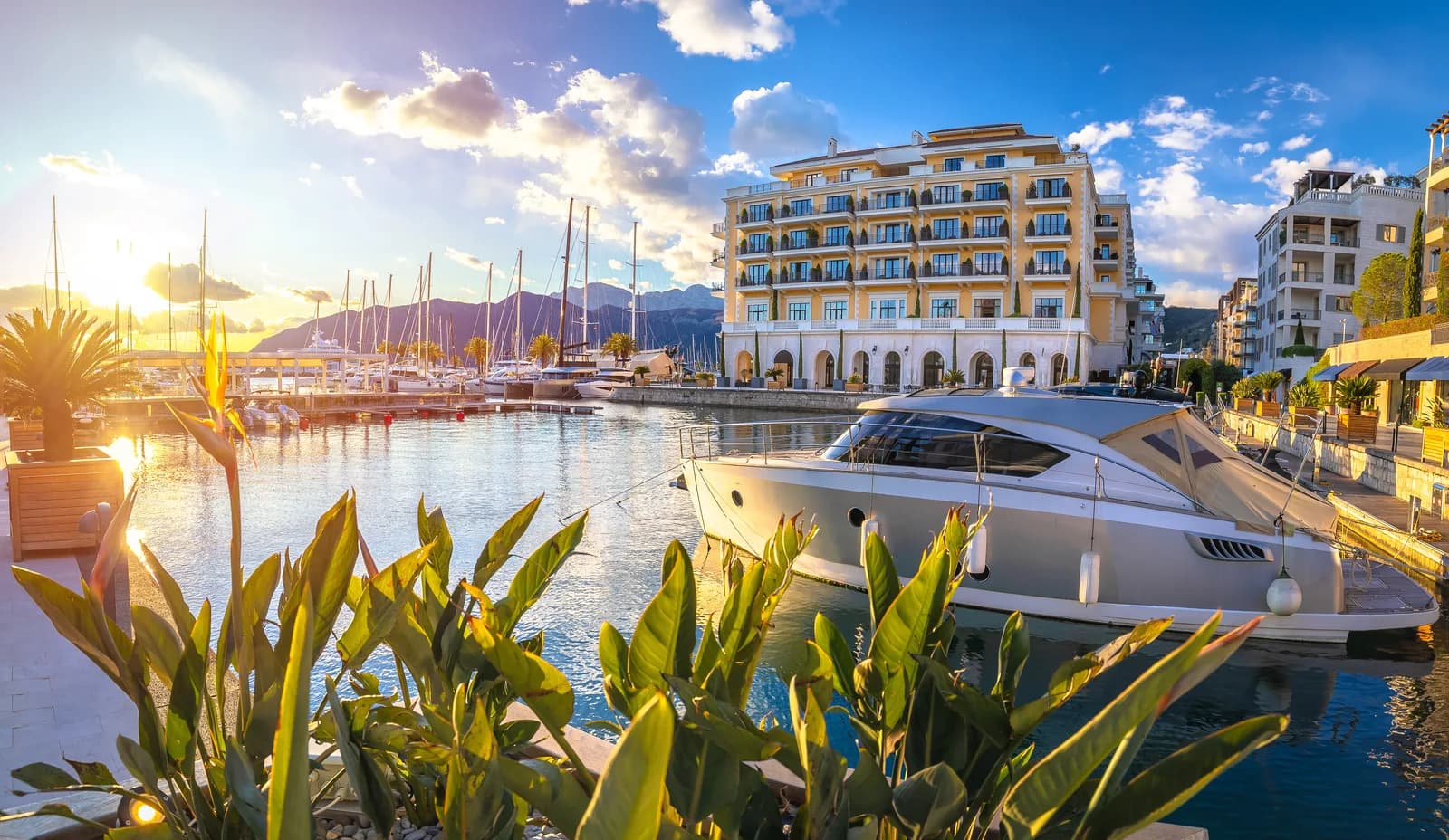
From ancient Illyrian shores to a world-class superyacht marina, Tivat is Montenegro’s most dramatic transformation story – a small coastal town that reinvented itself as the Adriatic’s premier luxury destination without losing its Mediterranean soul.
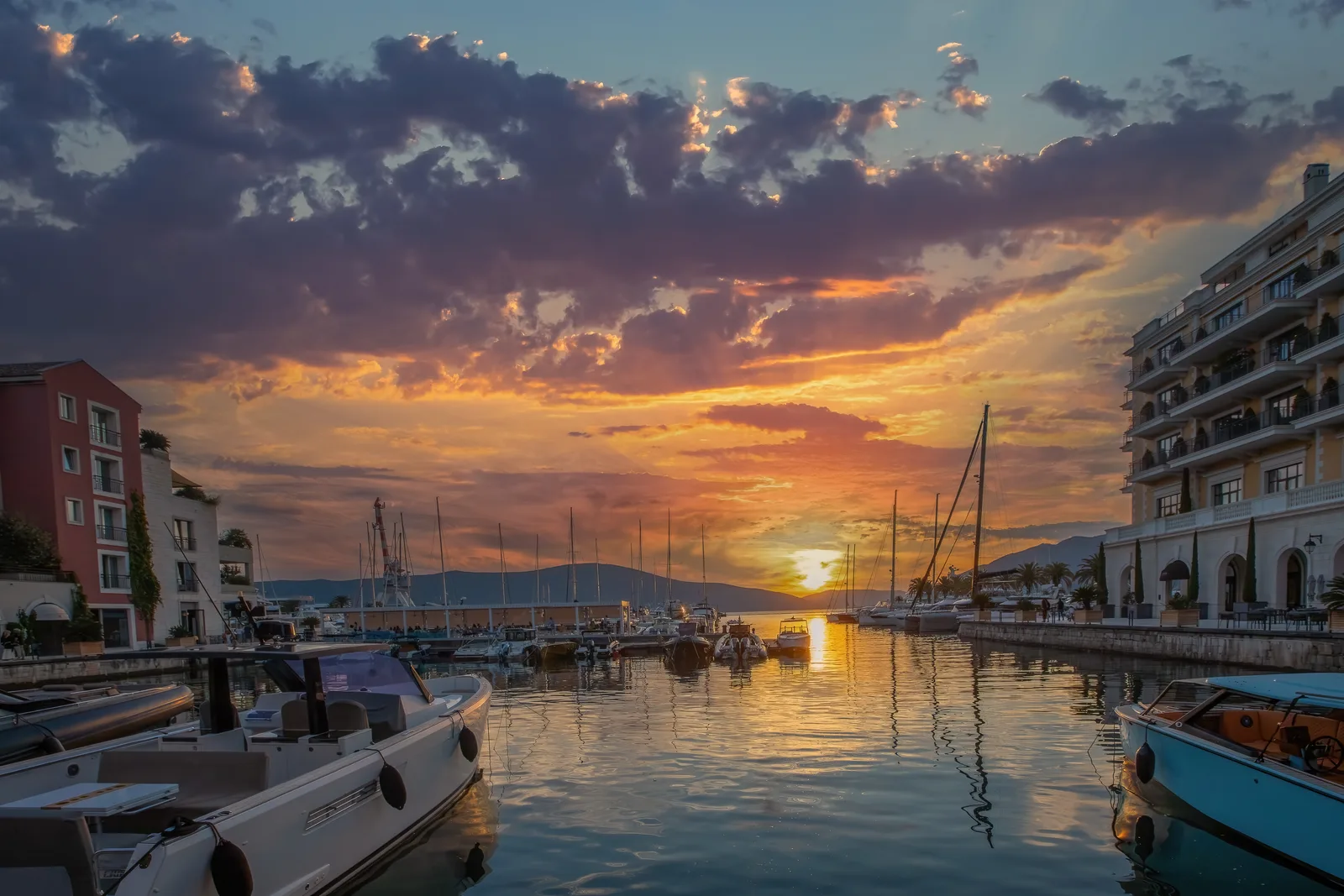
Tivat is often reduced to two labels: airport and luxury marina. Both are real, but neither explains the town. The more revealing story begins in 1889, when land was assigned for an Austro-Hungarian naval Arsenal. That decision pulled a dispersed agricultural shore into an industrial age; the shipyard then shaped employment and identity for a century before its brownfield became Porto Montenegro. To understand present-day Tivat, read the waterfront in layers rather than as a list of attractions.

Tivat also works best when you understand what it is—and what it is not. It is a compact, mostly level waterfront base with Montenegro’s coastal airport, a public promenade, naval-industrial history, a modern marina district and quick access to wetlands and the Luštica peninsula. It is not a walled old town like Kotor, every beach is not sandy, and a short map distance does not guarantee a short summer drive.
Overview
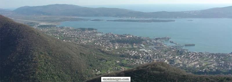
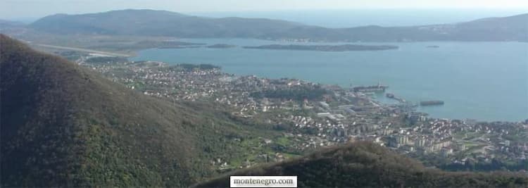
Tivat is a coastal town and municipality on the Bay of Kotor (Boka Kotorska) in southwestern Montenegro, sitting on the eastern shore of its own inner bay. With a town population of approximately 10,894 and a municipal population of 16,338 (2023 census), it is one of Montenegro’s smaller urban centers – yet it punches far above its weight in international recognition thanks to Porto Montenegro, one of the world’s top-rated superyacht marinas [1][3]. The municipality gives its area as 46 square kilometres and its population as 16,338; that figure covers the municipality – not just the centre visitors walk between Pine promenade, Porto Montenegro, Kalimanj and Seljanovo. Municipal and settlement populations are different geographic measures, so the municipal number should not be applied to the urban settlement alone.
The town enjoys a Mediterranean climate with over 2,400 sunshine hours per year, mild winters averaging 5–10 degrees Celsius, and warm summers peaking around 31 degrees Celsius in July. Annual precipitation totals roughly 1,300 mm, falling primarily in autumn and winter, while summers remain pleasantly arid [4]. The Adriatic Sea temperature averages 19 degrees Celsius annually, making it comfortable for swimming from June through September.
Situated just 8 km from the UNESCO-listed old town of Kotor and served by its own international airport, Tivat is both an accessible gateway and a destination in its own right.
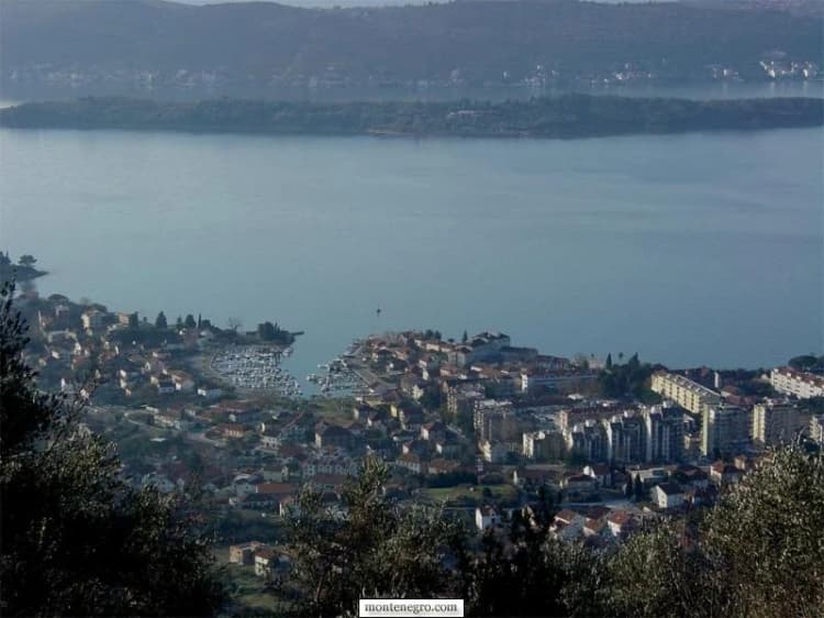
The city centre is easy to navigate on foot. The practical split is between a compact urban waterfront and a much wider municipality: Lepetane and the ferry lie north; the airport, Solila and Krtoli lie south; Radovići and Luštica require a longer road journey. A booking labelled “Tivat” can therefore be central, suburban or across the bay-facing peninsula. Check the exact pin before judging convenience.
| Zone | What it covers |
|---|---|
| NORTH · LEPETANE | ferry for Kamenari and the Herceg Novi side |
| CENTRE · PINE · SELJANOVO | walkable promenade, Porto Montenegro, parks, museums |
| SOUTH · AIRPORT · SOLILA | short distance, but highway traffic and habitat rules matter |
| KRTOLI · RADOVIĆI · LUŠTICA | beaches and villages; plan bus, car or licensed transfer |
Source: tivat.travel, opstinativat.me, montenegroairports.com
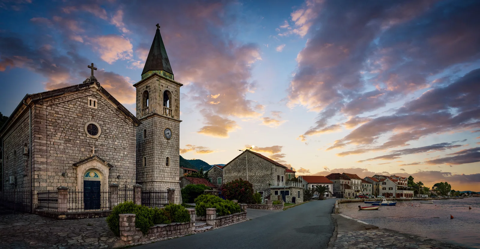
The six places that explain Tivat
The table is a reading plan, not a race. Pine and Porto Montenegro can fit into one waterfront walk. Buća-Luković deserves a separate pause. Gornja Lastva, Solila and the airport corridor reveal different municipal landscapes and require their own transport decisions. If you need a conventional trip planner after this cultural reading, use our complete Tivat travel guide.
| Zone | What it reveals | Best use | Planning caution |
|---|---|---|---|
| Pine and the centre | The civic waterfront outside the resort | Orientation, an evening walk and public life | Events can alter access and noise |
| Former Arsenal / Porto Montenegro | Industrial land converted to a nautical district | Read preserved fragments against new streets | Public-feeling space remains commercially programmed |
| Buća-Luković complex | The older estate landscape of Kotor and Perast nobility | Architecture, gallery programming and city park context | Confirm exhibition and interior access |
| Gornja Lastva and Vrmac | Stone village, terraces and postwar movement downhill | Landscape history and walking | Steep roads, heat and limited services |
| Solila and Krtoli | A protected wetland inside a development-intensive municipality | Slow bird observation | Wildlife is seasonal; protect habitat |
| Airport corridor | Global access meeting a constrained coastal road network | Arrival logistics | Never promise transfer times |
Top Attractions
Porto Montenegro
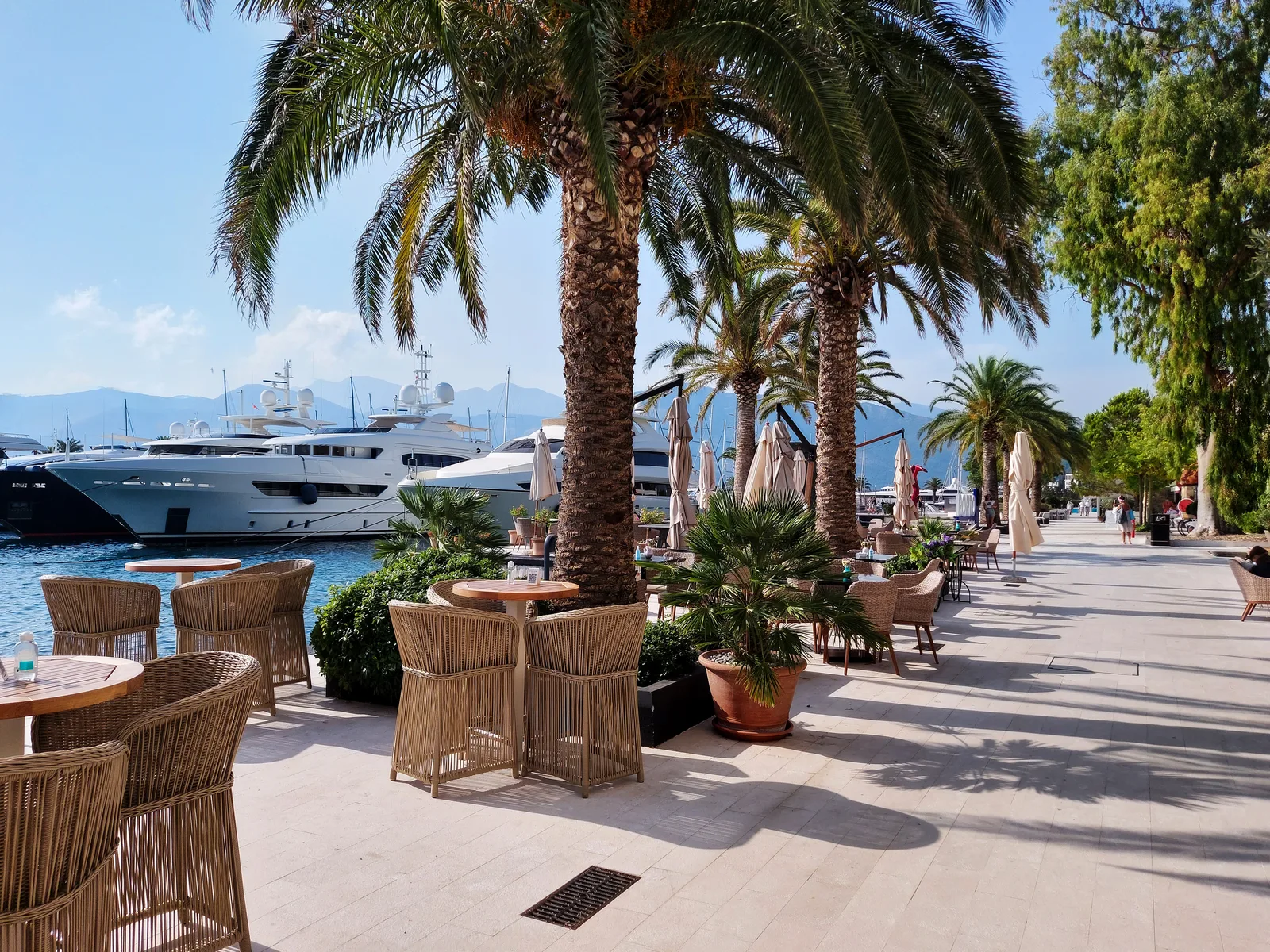
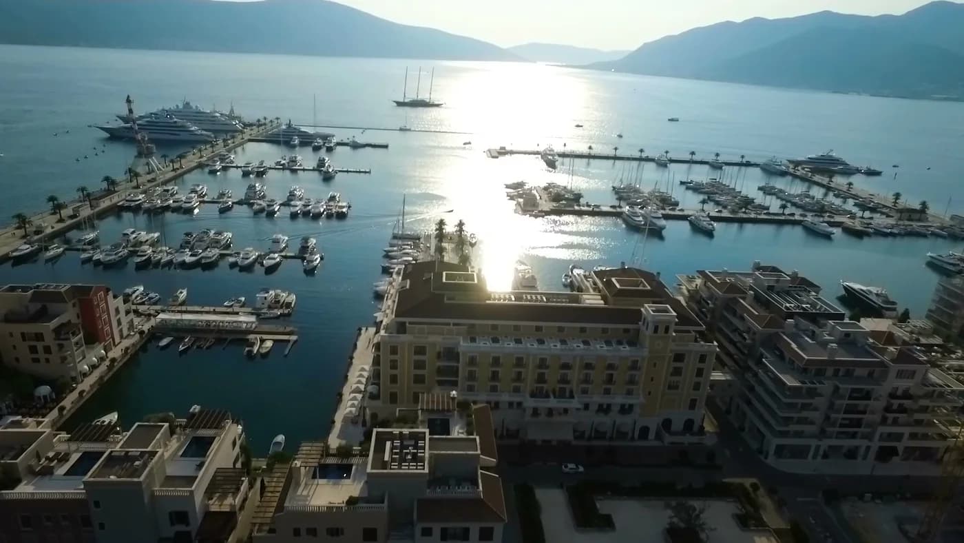
Porto Montenegro is the crown jewel of Tivat’s transformation and the single development most responsible for putting the town on the global map. This 24-hectare complex occupies the former Arsenal shipyard and naval base and has been reimagined as a luxury lifestyle village [3][10].
The Marina: The award-winning marina holds 450 berths accommodating vessels from 6 meters to superyachts up to 250 meters in length. It was the world’s first marina to receive the TYHA (The Yacht Harbour Association) Platinum rating, and has been repeatedly named among the world’s top superyacht marinas. In a notable accolade, it was awarded World’s Best Superyacht Marina by ACREW [3][10].
The Village: Beyond the marina, Porto Montenegro offers a self-contained lifestyle district featuring over 440 luxury residences (including the Elena Residences, Regent Pool Club Residences, and Boka Place), more than 30 restaurants, bars, and cafes, upscale boutiques carrying local and international designer brands, and a variety of leisure facilities [11][22].
Regent Porto Montenegro: The five-star Regent hotel anchors the hospitality offering, with over 80 luxury suites and apartments housed in a five-story terracotta-roofed building inspired by Renaissance Venetian palazzo architecture. The hotel includes a full-service spa, infinity pool, and direct marina access [11][22].
Porto Montenegro Yacht Club (PMYC): Established in 2019, the PMYC has quickly built a robust calendar of regattas on Boka Bay and an extensive member activity program covering both on-water and social events throughout the year [12].
Read the district as public-feeling space that remains commercially programmed: Porto Montenegro begins north of the centre, and treating a private development as the whole town is the most common misreading of Tivat.
Naval Heritage Collection (Maritime Museum)
Housed in a beautifully restored 19th-century sawmill at the north end of Porto Montenegro, the Naval Heritage Collection celebrates Tivat’s deep maritime roots. The museum showcases more than 300 artifacts including rare Austro-Hungarian naval equipment, industrial machinery, the diaries of Montenegro’s Princess Ksenija, and historical documentation of the Arsenal shipyard [13][14].
The star exhibits are two dry-docked Yugoslav Navy submarines. The larger one, the P-821 Heroj (meaning “Hero”), has been fully restored and is accessible via guided tour. Visitors can explore the interior, turn the wheels, press the buttons, and even peer through the still-functional periscope for views across the bay. The submarine experience is particularly popular with families and children [13][14].

Check current opening, ticketing and submarine-access conditions directly. A museum listing does not guarantee that every vessel interior is open on every day, and narrow naval spaces may not be accessible to all visitors.
Buca-Lukovic Palace and the estate shore
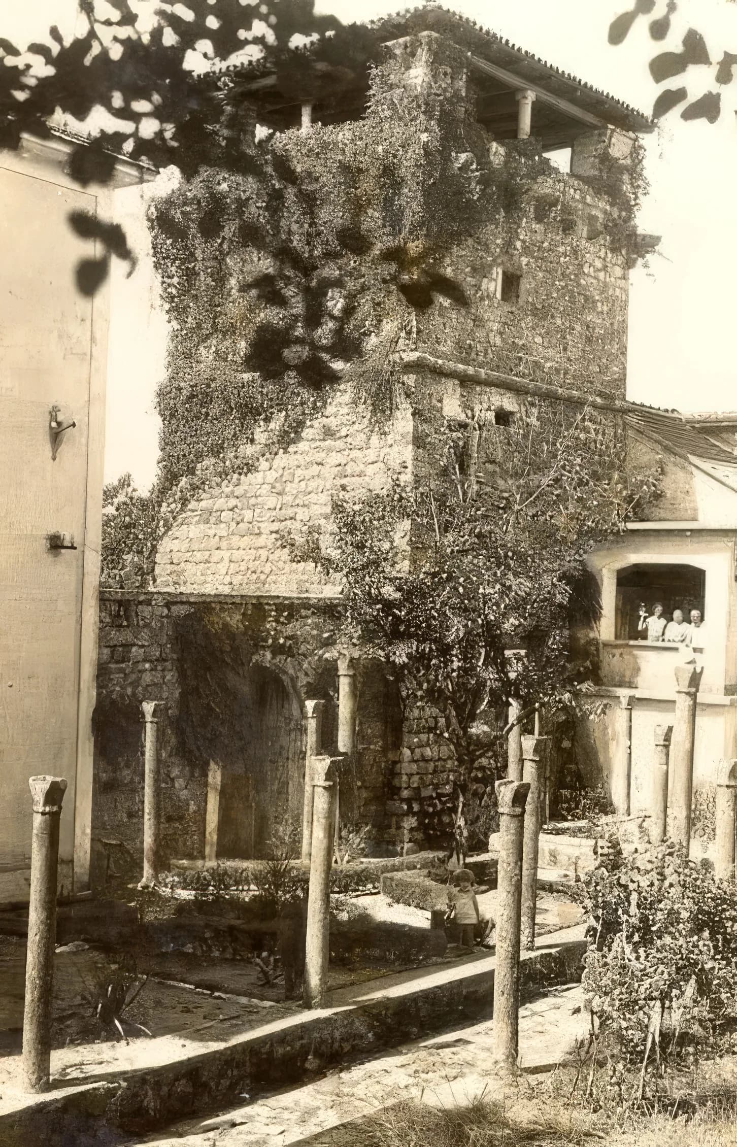
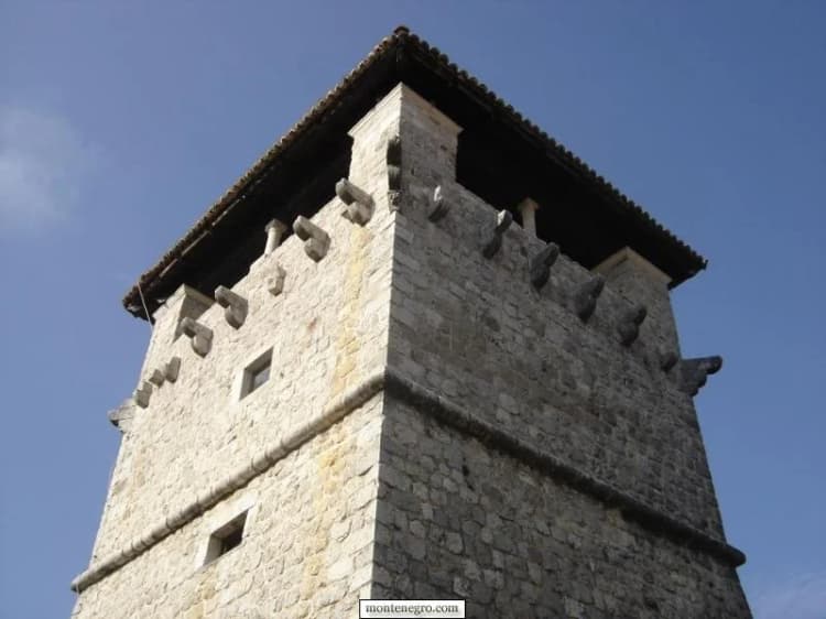
The Buca-Lukovic summer residence is the most monumental and best-preserved medieval aristocratic building in Tivat. Dating from the 14th century, the complex was built by the Buca noble family of Kotor – a dynasty that produced prominent businessmen, financiers, diplomats, and theologians throughout the 14th and 15th centuries [15][16].
The complex includes a residential building, a chapel of St. Mihovil in the atrium, and an imposing 15-meter-high fortified tower dating from 1548 that now serves as an art gallery. The walled complex contains a residence, economic building, chapel and tower; today it functions as a cultural venue. The museum within houses Roman archaeological finds, a well-presented ethnographic collection featuring fishing and farming artifacts, beautiful jewelry and folk costumes, and rotating exhibitions of modern painting and sculpture [15][16].
The palace is protected as national cultural heritage and stands as a tangible link between Tivat’s medieval past and its present-day cultural life. It also restores a deeper layer to the story: before industrial Tivat, families from Kotor and Perast held agricultural and residential estates along this shore. The useful contrast is not “old versus new” as decoration. It is between an estate economy tied to land and maritime elites, an industrial waterfront tied to wage labour, and a contemporary economy tied to tourism and property.
Check the Tourist Organisation's Buća-Luković page and local listings before expecting a gallery exhibition or open interior. Historic architecture can be appreciated from public approaches, but doors, events and restoration work change. Our dedicated account of Buća Palace and Tivat's Great Park gives the complex a fuller reading.
Island of Flowers (Ostrvo Cvijeca / Miholjska Prevlaka) and the Krtoli archipelago
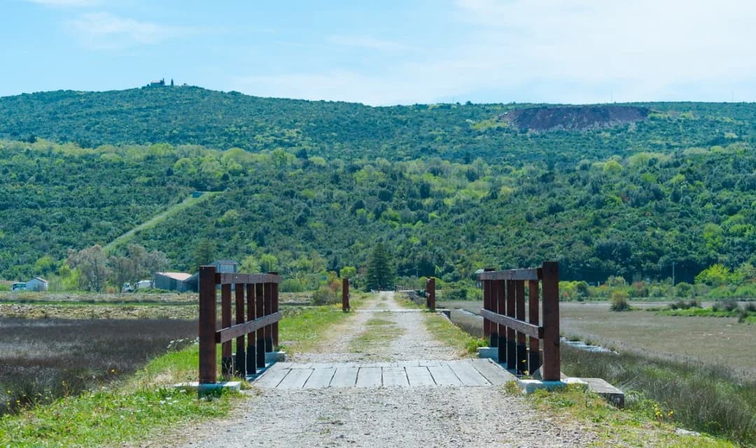
Located approximately 4 km southwest of Tivat center, the Island of Flowers is a small island (300 m long by 200 m wide) connected to the mainland by a narrow isthmus. Despite its modest size, it carries enormous historical and spiritual significance [5][17].
The island was named Miholjska Prevlaka in honor of the Monastery of the Archangel Michael, founded in the 6th century (some sources date the monastery to the early 13th century under Saint Sava). Between the 13th and 15th centuries, it served as the seat of the Eparchy of Zeta, making it one of the most important religious sites in the medieval Serbian lands [5][17].
The monastery was destroyed by the Republic of Venice in 1441, ostensibly due to plague fears. However, modern forensic research by the Military Medical Academy in Belgrade, examining the recovered remains of monks, revealed that they died of arsenic poisoning – suggesting a more deliberate destruction [17].
Today, the island features a functional Holy Trinity Church and the partially reconstructed Monastery of Holy Archangel Mikhail, with restoration work still underway. The island is home to approximately 100 residents and is lush with the palms, flowers, and subtropical plants that give it its popular name [5][17].
Across the shallow bay, the Krtoli group includes Miholjska Prevlaka, Sveti Marko and Gospa od Milosti. They do not share one access policy. Miholjska Prevlaka is connected by a causeway and contains an active monastery; other islands require authorised boat access or permission. Do not extrapolate from a map pin. The evidence and visit rules for the accessible monastery site are detailed in our Miholjska Prevlaka guide.
Pine Waterfront Promenade
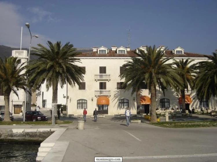
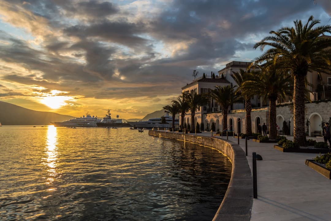
Pine (pronounced “Pee-neh”) is Tivat’s beloved main waterfront and the social heart of the town. This promenade stretches along the bay, lined with charming cafes, gelato stands, and souvenir shops, offering stunning views of the water and the surrounding mountains [18].
A notable feature at Pine is the sailing ship Jadran, a training vessel built in 1930 that has logged more than 40,000 nautical miles and visited nearly every port in Europe. The ship, used by the maritime school for training, is often moored here and offers organized tours by its crew [18].
Pine merges seamlessly into the Porto Montenegro waterfront, creating a continuous promenade experience. It is also the departure point for daily boat trips to popular Bay of Kotor attractions including the Blue Cave and Our Lady of the Rocks island church [18][19].
Tivat Town Park (Veliki Gradski Park)
The Tivat Town Park, established in the early 20th century during the Austrian period, is a green oasis in the heart of the town. It features mature Mediterranean vegetation including tall pines, palms, and magnolias, along with walking paths and benches. The park connects the town center with the waterfront and provides a shaded retreat during the warm summer months.
Gornja Lastva: the town seen from the slope
Perched at 300 meters above sea level on the slopes of Vrmac, Gornja Lastva is a medieval stone village that feels like a step back in time. First mentioned in the 16th-century Statute of Kotor, the village contains approximately 20 stone houses with archaic architecture, narrow rustic roads, and medieval churches including the Church of Saint Vitus (first mentioned in 1327 but possibly dating to Byzantine times) and the Church of the Nativity of the Virgin Mary (1410) [20].
The village preserves a 19th-century olive mill that remains functional, though no longer in active use. Each August, the traditional “Festivities of Lastva” celebrate the culture, traditions, and cuisine of the Boka Kotorska region [20].
Above the coastal strip, Gornja Lastva changes the scale. Stone houses, boundary walls, terraces, an old olive mill and a parish church belong to a village landscape shaped by cultivation and careful use of limited ground. Tivat's tourism organisation describes a postwar movement of residents downhill toward the growing town. That local account helps connect the shipyard economy to a visible demographic shift: the industrial shore did not simply expand; it drew life away from older upland settlements.
Go for landscape history, not for a guaranteed performance of village life. The source itself says only a few occasional residents remain. Keep voices low near homes and churches, do not enter courtyards, and ask before photographing people. Confirm any church, mill or festival access locally. Vrmac routes add heat, gradient and navigation demands; the official active-holiday page links maps, but a promotional map is not a live trail-condition report.
Culture and Events
Purgatorije – Tivat Cultural Summer
The Purgatorije (Purgatory) Festival is Tivat’s premier cultural event, organized by the Tivat Cultural Center and running from mid-June through the end of August. The festival features theater performances, concerts, art exhibitions, film screenings, and literary events staged across various venues in the town and municipality [21].
Gastro Festivals
Tivat has embraced its culinary identity through several food-focused events:
- Summer of Good Taste: A roving gastronomic celebration held at restaurants, taverns, hotels, and aboard the Water Carriage, featuring Mediterranean cuisine accompanied by folklore performances [21].
- Fish and Wine Fest: Held in July and August in the nearby settlements of Lepetane and Krasici, offering free fish and local wine with live music [21].
- Gastro Weekend at Porto Montenegro: A family-friendly festival combining master chefs, live music, and a diverse culinary offering spanning herb-infused focaccias, gourmet burgers, and Asian fusion, Indian, and Mexican specialties [21][22].
Porto Montenegro Events
The marina village maintains a packed annual calendar:
- MYBA Pop-Up Superyacht Show: An exclusive showcase attracting over 90 brokers and featuring 20+ yachts in the 50-meter-and-below category [12].
- PMYC Regattas: A growing series of sailing races on Boka Bay organized by the Porto Montenegro Yacht Club [12].
- Sunreef Yachts Rendezvous: An annual gathering of the Sunreef catamaran community at the marina [12].
Gastronomy
Tivat’s culinary scene reflects its coastal Mediterranean setting with a distinctly Montenegrin character. Key elements include:
- Seafood: Fresh sea bass (brancin), sea bream (orada), octopus (hobotnica), mussels, and squid prepared in traditional Dalmatian and Montenegrin styles.
- Cured Meats and Cheese: Njeguski prsut (dry-cured ham from the mountains above Kotor) and Njeguski sir (aged cheese) are signature products of the broader region, available in Tivat’s restaurants and markets.
- Olive Oil: Locally produced olive oil from centuries-old groves on the Lustica Peninsula and the Vrmac hillsides.
- Wine: Montenegrin wines, particularly Vranac (red) and Krstac (white) from the Crmnica wine region, are widely available.
The dining scene spans the full range from traditional konobas (taverns) serving slow-cooked lamb and fresh grilled fish to the upscale international restaurants of Porto Montenegro village [19][21].
Modern vs. Traditional Contrast
One of Tivat’s most defining characteristics is the striking juxtaposition of old and new. Within a few hundred meters, visitors can walk from the medieval stone walls of the Buca-Lukovic Palace to the glass-and-steel boutiques of Porto Montenegro. The decommissioned submarines of the Naval Heritage Collection sit in the shadow of 80-meter superyachts. The ancient stone village of Gornja Lastva looks down from its hilltop perch at the Regent hotel’s infinity pool below. This contrast – rather than creating dissonance – gives Tivat a unique energy that neither pure heritage towns nor purpose-built resorts can match [8][9][10].
Nature and Activities
Vrmac Ridge Hiking
The Vrmac Ridge is the mountainous peninsula separating Kotor Bay from Tivat Bay, and it offers some of the most rewarding hiking in the entire Bay of Kotor area. The ridge follows an old Austro-Hungarian military road and provides panoramic views of both bays [23].
Trail Options: - Kotor to Tivat Traverse: The full ridge hike covers approximately 18 km with 785 meters of elevation gain and takes 5–6 hours. The highest point is Sveti Ilija peak at 785 meters above sea level [23]. - Fort Vrmac Loop: A shorter option targeting the Austro-Hungarian Fort Vrmac, established in 1860 with the current structure built between 1894 and 1897. The round trip is approximately 8.5 km and takes around 3 hours [23]. - Donja Lastva Trailhead: Located just north of Tivat, this well-maintained trail leads directly up to the ridge and is the most convenient starting point for visitors based in Tivat [23].
The ridge is suitable for moderate to experienced hikers and rewards the effort with sweeping 360-degree views encompassing the Bay of Kotor, the open Adriatic, and the Montenegrin mountains.
Beaches: pick by surface and logistics
Tivat is a waterfront city, but “beach” covers concrete platforms, pebbles, small sand sections and natural coves. The official beach directory distinguishes central Town Beach, pebble Belane, Ponta Seljanova, Kalardovo near the airport, and Luštica choices such as Pržna Bay and Velja Spila. Concessions, public sections, furniture and access can change by season, so a directory description is a starting point, not a promise.
Plavi Horizonti (Blue Horizons): Widely considered one of the most attractive beaches on the entire Montenegrin coast, Plavi Horizonti is located on the Lustica Peninsula in the southern part of Tivat Bay. This crescent-shaped beach features natural dark sand, is surrounded by olive groves and dense pine forest providing natural shade, and boasts exceptionally shallow water extending up to 20 meters from shore. The gentle, gradual entry with no sudden drop-offs makes it ideal for families with young children. The beach holds the international Blue Flag certification for water quality and facilities [24][25].
Oblatno Beach: Located about 15 minutes from Tivat center on the Lustica Peninsula, Oblatno features fine white sand and turquoise waters that draw frequent comparisons to the Caribbean. Less developed than many coastal beaches, it offers a peaceful escape surrounded by Mediterranean vegetation with stunning views of the surrounding hills and calm bay waters [25].
Town Beaches: While Tivat’s immediate waterfront is more promenade than beach, several small swimming areas exist along the coast near Pine and in the direction of Donja Lastva.
| Beach | Setting | Shore | Access / trip length |
|---|---|---|---|
| TOWN BEACH | central | concrete + sand | walkable |
| BELANE / PONTA | near urban core | pebble options | easy half-day |
| KALARDOVO | airport side | sandy setting | plan road access |
| LUŠTICA | coves + sand | coves + sand | full-day trip, transport needed |
| Caveat | Always recheck public access, concessions, sea conditions and facilities. | — | — |
Source: tivat.travel
For a quick swim without transport, choose the centre or Seljanovo according to the day’s conditions. For a beach-led day, Pržna Bay on Luštica is the stronger destination, but it is not a stroll from central Tivat. The official “Life on Luštica” road is about 40 kilometres and is promoted as a full-day circuit; narrow roads, summer traffic and heat make that a planning minimum, not a challenge to beat.
Solila Nature Reserve: the counterweight to the investment coast
The Solila Nature Reserve is a 150-hectare wetland located opposite Tivat’s city center in Krtole Bay. Originally a series of artificial, shallow salt pans used for commercial salt production during the Middle Ages – when salt was an expensive and strategically important commodity for Kotor and Tivat’s economies – the site was abandoned in the 20th century when price declines made production unprofitable. Nature reclaimed the pans, and aquatic plants and shellfish flourished, attracting vast numbers of birds [26][27].
Today, Solila is one of the rare wetlands on the Adriatic Flyway, a migratory corridor between Northern Europe and West Africa. A total of 178 different bird species have been identified and recorded, including cormorants, flamingos (a rare sight), grebes, and grey herons. The reserve is listed as a Wetland of International Importance under the Ramsar Convention (since 2013) and as a Special Flora and Fauna Reserve under Montenegrin law [26][27]. The Tourist Organisation describes it as approximately 150 hectares, on the Ramsar list since 2013, with 178 recorded bird species and free entry, and with paths, benches and observation points; Morsko Dobro describes about 140 hectares protected as a special nature reserve since 2008, one of the remaining eastern-Adriatic halophyte habitats and a key point on the Adriatic bird-migration corridor.
Entrance is free, and the park is open year-round. The best birdwatching is during the spring and autumn migration seasons.
Treat those numbers as the site's ecological inventory, not a promise of what you will see. Tivatska Solila is not an abandoned field to wander freely. Migration, water level, weather, season and disturbance determine a visit. Move slowly, stay on established routes, keep voices low, keep dogs controlled where permitted, avoid playback of bird calls, do not approach birds for photographs, take litter out and never push into habitat for a photograph. Dawn and migration seasons may be rewarding, but wildlife presence is never guaranteed. Our Tivat Solila birdwatching guide explains timing and field etiquette in more depth.
Island Hopping and Sailing
Tivat’s position on the Bay of Kotor makes it an ideal base for exploring the bay by boat. Popular excursions include:
- Our Lady of the Rocks (Gospa od Skrpjela): An artificial island near Perast with a historic church.
- Blue Cave (Plava Spilja): A natural sea cave accessible by boat on the Lustica Peninsula.
- Island of Flowers: A short hop from the Tivat waterfront.
- Mamula Island: A former Austro-Hungarian fortress on a small island at the entrance to the bay.

The Porto Montenegro Yacht Club and numerous private operators offer sailing charters, boat rentals, kayaking, paddleboarding, and diving excursions [12][18]. For the smaller Krtoli islands, use a licensed operator and confirm permission, landing point, weather and return arrangements rather than assuming access.
Cycling
The area around Tivat offers cycling opportunities ranging from flat coastal routes to challenging mountain rides. One standout is the Epic 25 Turns Bike Descent on the serpentine road leading from Lovcen National Park, featuring 25 dramatic switchbacks with panoramic views [19].

Tivat inside the wider Bay landscape
The Natural and Culturo-Historical Region of Kotor is a UNESCO World Heritage property centred on the inner, south-eastern Bay. Tivat should not be casually labelled part of its inscribed core. The relevant planning fact is that UNESCO's defined buffer zone encompasses the entire Bay of Kotor. UNESCO warns that new tourism centres, coastal construction and infrastructure can gradually and irreversibly change landscape integrity.
That warning makes Tivat a useful observation point. Here the Bay's value is not only an old-town façade; it is the relationship among water, mountain slopes, settlement, cultivated terraces and movement routes. The marina's investment, the airport's access, the wetland's protection and the village's fragile continuity all occupy the same finite landscape. For the geographic whole, continue with our Bay of Kotor guide.
Practical Information
Getting There: Tivat Airport (TIV)
Tivat Airport (IATA: TIV, ICAO: LYTV) is one of Montenegro’s two international airports and serves as the primary gateway to the Montenegrin coast. The airport is located just 4 km south of Tivat’s town center and only 8 km from Kotor [28][29]. Airports of Montenegro gives 4 kilometres and an indicative five-minute road trip between Tivat and the airport. That is a distance fact plus a no-delay estimate, not a summer transfer guarantee. The airport sits on the Adriatic Highway; congestion, flight peaks and road incidents can stretch the trip sharply. For departure, follow your airline’s check-in advice and add a traffic buffer. The official schedule is explicitly seasonal and subject to airline changes, and the official airport page carries live flight information.
Notable Features: - The runway is aligned with the bay valley, with Runway 14’s threshold sitting just 100 meters from the Bay of Kotor coastline. This demanding approach has earned Tivat the nickname “the Kai Tak of Europe” among pilots [28]. - Traffic is highly seasonal, with 80 percent of annual passenger volume handled between May and September [28]. - Airlines serving Tivat include carriers connecting to major European hubs across the UK, Germany, France, Scandinavia, and Eastern Europe, with frequency increasing substantially during summer.
Transfer Times from Tivat Airport: - Tivat center: 5–10 minutes - Kotor Old Town: 15–20 minutes - Budva: 25–30 minutes - Porto Montenegro: 10 minutes. Treat these as no-delay estimates: proximity on a map is not a transfer-time guarantee, and congestion can rise around flight banks, summer changeovers, border traffic and ferry queues. Ask accommodation or a licensed operator for the current ground plan, and leave margin.
The airport’s accessibility portal says passengers can arrange PRM assistance through their airline and describes step-free routes and accessible toilets within the terminal. That information does not certify the pavement to your accommodation, a beach, ferry, boat or museum. Book each connection separately if accessibility is essential.
Local and intercity buses
The municipality lists local or suburban corridors linking Tivat with Gradiošnica, Krašići, Lepetane, Ostrvo Cvijeća and Radovići. It also gives the bus station at Bonići I. Frequencies and stops can change, so use the municipal timetable links and confirm on the travel day. A bus can work well for a simple out-and-back; it is less forgiving when tied to a flight, boat or last return.